Plizio Visual Lab
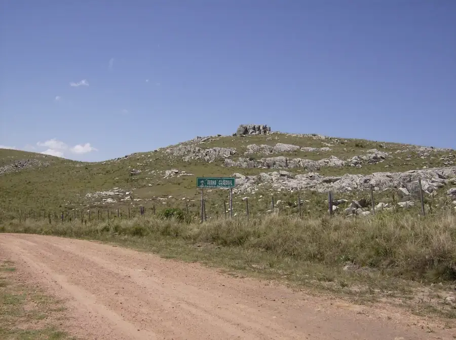
Sierra Carapé
Weather…
Water temperature…
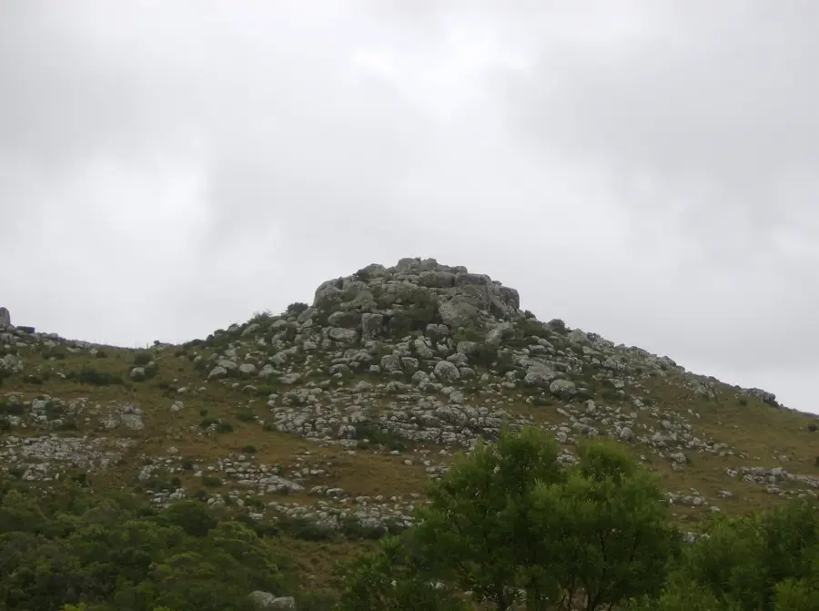
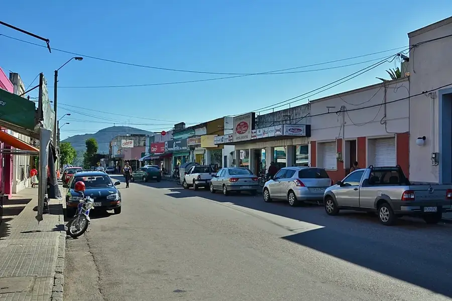
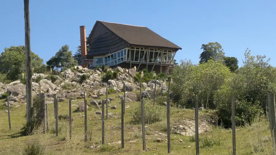
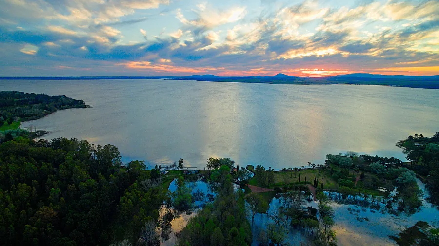
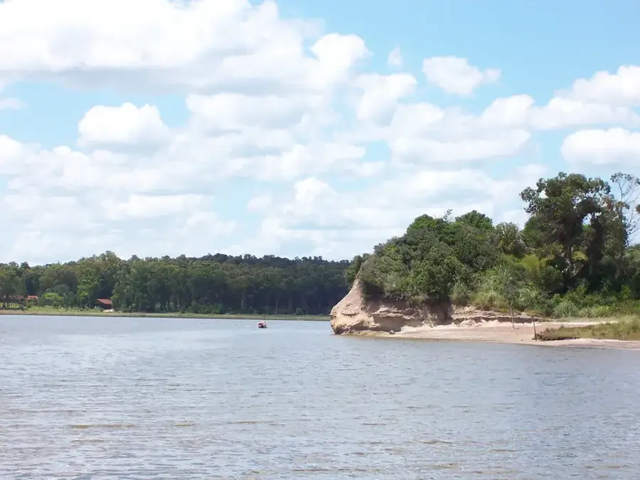
The Sierra Carapé is a hill range in Uruguay, stretching through the Maldonado Department in the southeast of the country. Geologically, it is part of the larger Cuchilla Grande system and is primarily composed of Precambrian granite and metamorphic rocks, which are among the oldest formations on the South American continent. The highest point in this range, and in all of Uruguay, is the Cerro Catedral at 513.66 meters. Although modest in elevation, the Sierra Carapé plays a significant hydrographic role, acting as a watershed that divides the basin of the Río de la Plata to the south from that of the Laguna Merín to the east. The landscape is characterized by rolling hills, rocky outcrops, and extensive grasslands, which have been traditionally used for livestock grazing, particularly cattle and sheep. The vegetation is typical of the Pampas region, featuring hardy grasses and scattered small forests in the valleys. The region is sparsely populated, retaining a strong rural character that is fundamental to the economy and culture of Maldonado.
- Location: Uruguay
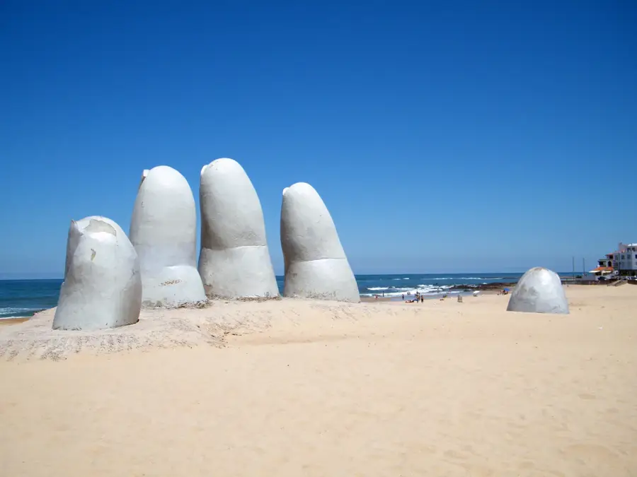
- Top sights: Cerro Coronilla · Cerro de la Línea · Cerro Negro
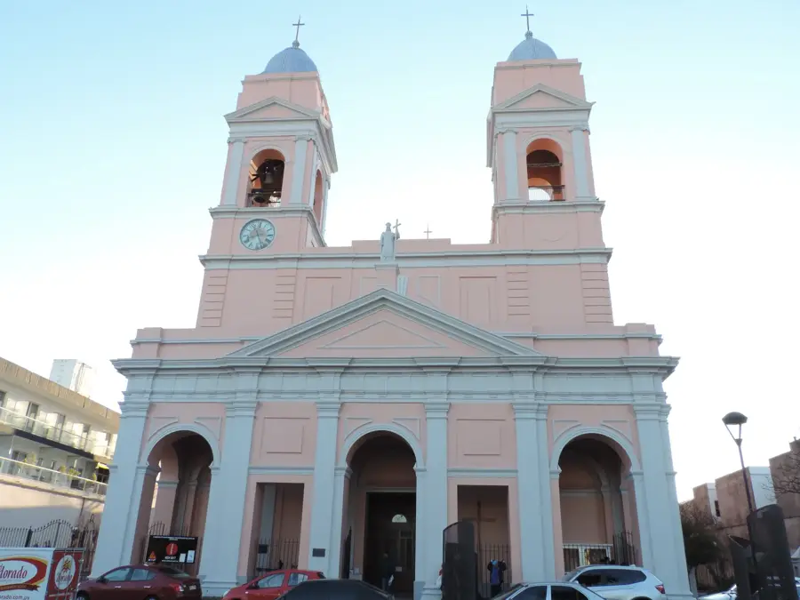
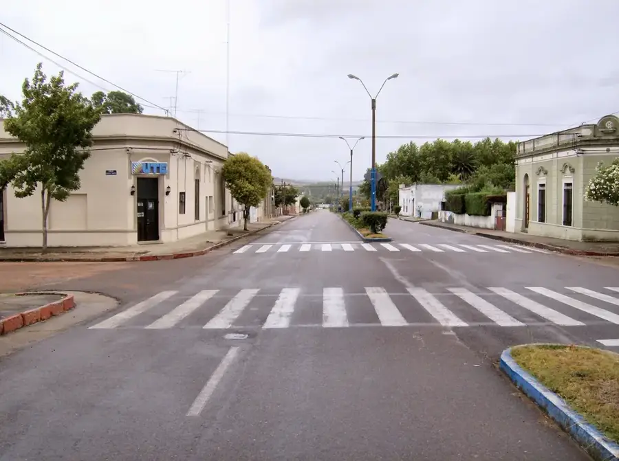
- Nearby: Aiguá (11 km)
Best time to visit & climate
The most pleasant time to visit is Jan, Feb, Dec.
| Jan | Feb | Mar | Apr | May | Jun | Jul | Aug | Sep | Oct | Nov | Dec | |
|---|---|---|---|---|---|---|---|---|---|---|---|---|
| Avg °C | 23 | 22 | 20 | 16 | 13 | 10 | 9 | 11 | 12 | 15 | 18 | 21 |
| Rain mm | 97 | 118 | 125 | 104 | 95 | 107 | 96 | 106 | 101 | 103 | 90 | 88 |
📋 Practical info
Geography
Facts
- It hosts the highest point in Uruguay, the Cerro Catedral (513.66 m).
- Composed of rocks dating back over 2.5 billion years.
- Acts as the main water divide between the Atlantic and the Río de la Plata basin.
- The name 'Carapé' comes from the Guaraní language, meaning 'small, flat hill'.
- The average elevation of the range is approximately 400 meters.
- The region is an important center for sheep farming in Uruguay.
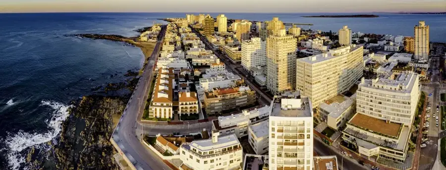
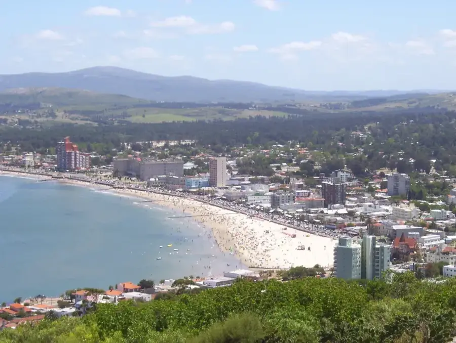
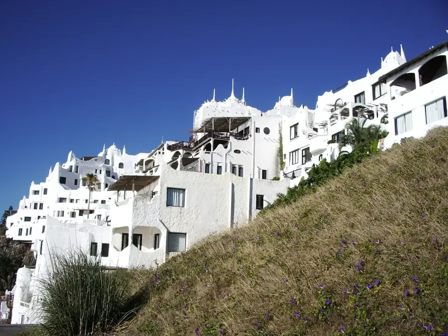
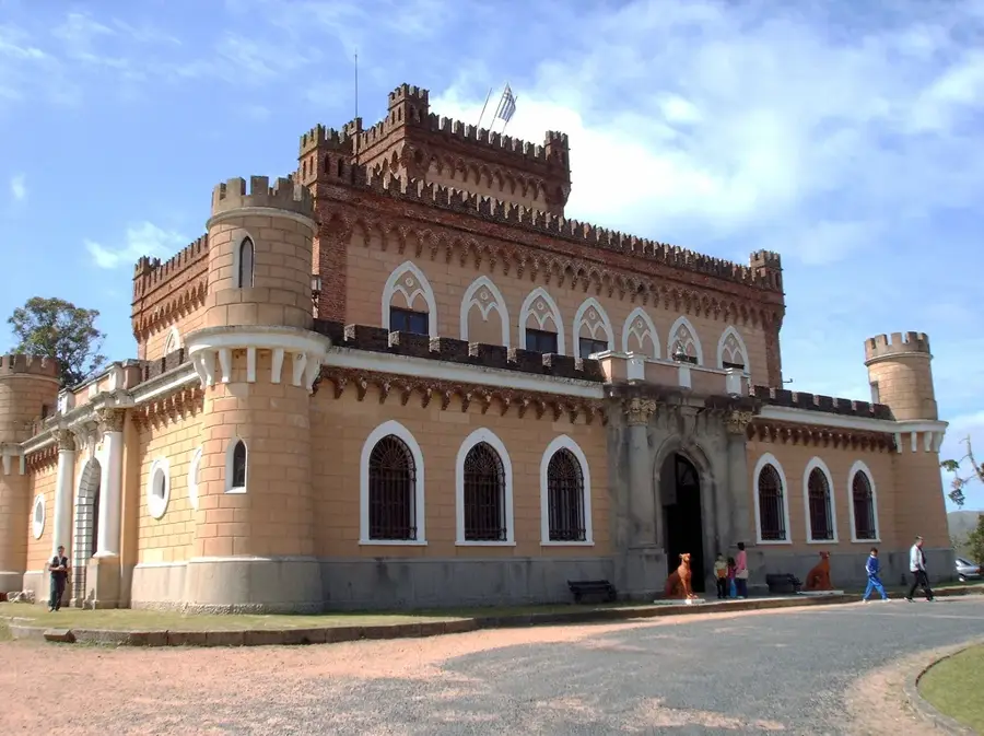
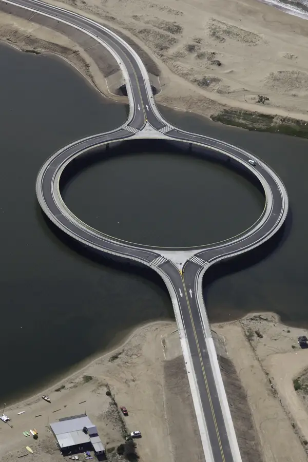
Explore nearby
Notable places around
Route planner — Car & Motorhome
Where do you start? We build the route here, with stops and country notes along the way.
© OpenStreetMap contributors · OpenRouteService
Sights in the town Sierra Carapé (3)
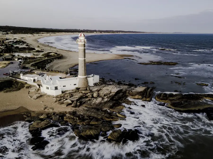
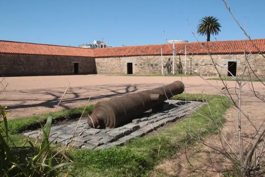
Sights nearby
Frequently asked questions
How difficult is the hike in Sierra Carapé?
Best time to travel to Sierra Carapé?
Is the area safe?
What should one bring?
Are there guided tours?
Sierra Carapé: where is it located?
Sierra Carapé: what is there to see?
Sierra Carapé: when is the best time to visit?
Sierra Carapé: why is it worth visiting?

Nearby cities
History & landmarks


Nature

More places