Plizio Visual Lab
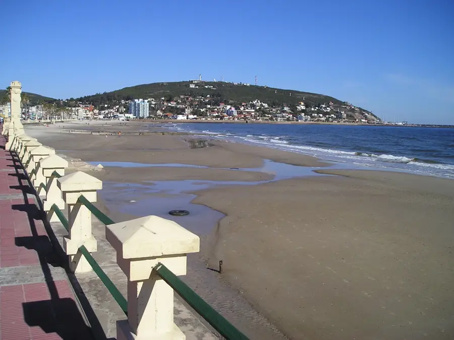
Pan de Azúcar
ℹ️Practical info — Pan de Azúcar
▾
🌤 Weather — 5 days
📍 Nearby
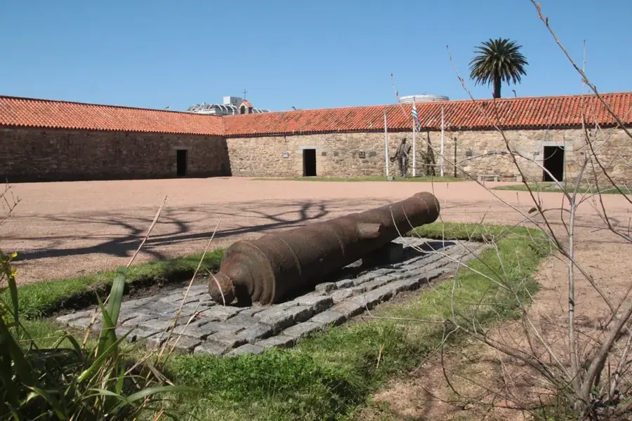
Sights nearby
💡 Tips
- Registration at the base of Cerro Pan de Azúcar is mandatory before starting your ascent.
- Wear sturdy shoes and bring at least one liter of water per person for the hike.
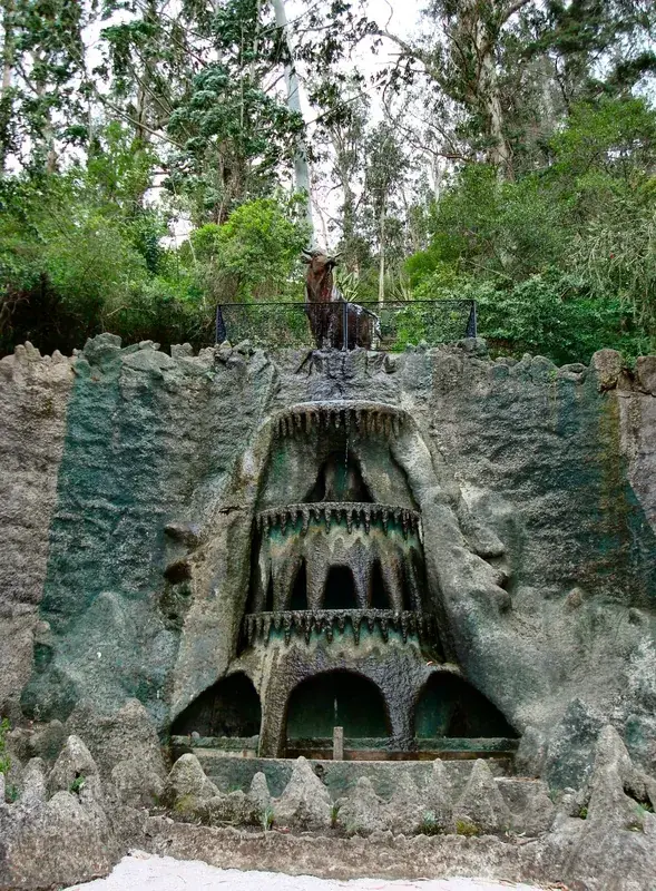
- Visit the ECFA reserve at the base of the hill to see native animals up close.
- The trail is often closed for 72 hours after rain as the granite rocks become very slippery.
- Start your climb early in the morning to avoid midday heat and secure a daily slot.
🍽 Food
Enjoy rustic grilled meats at the local restaurants near the town park.
The bakeries around the main square offer excellent empanadas and sweet treats.
🛍 Shopping · 🧘 Quiet spots
Small stalls at the ECFA park entrance offer local woodwork and souvenirs.
Look for local producers selling pure honey from the surrounding hillside flora.
Away from the animal enclosures, spacious picnic areas under the trees offer plenty of peace.
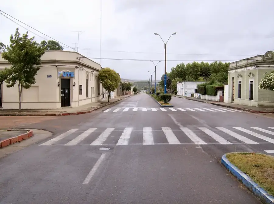
A peaceful spot for a short stroll in the heart of the city.
Water temperature…
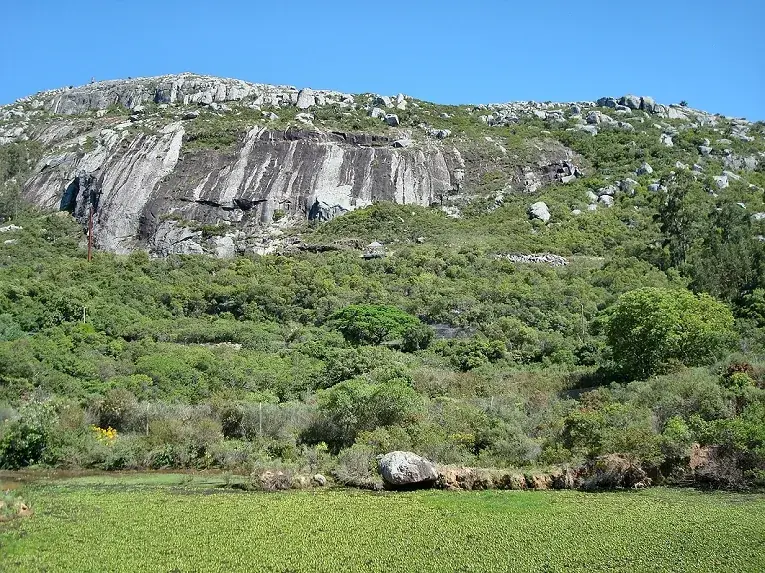
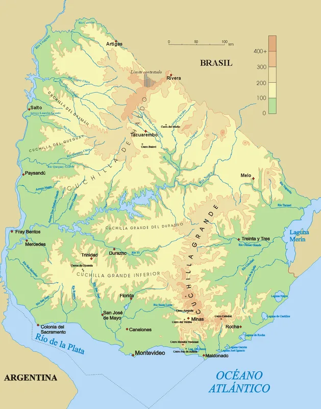
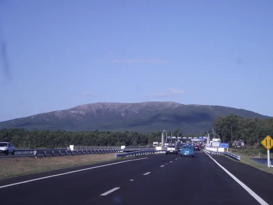
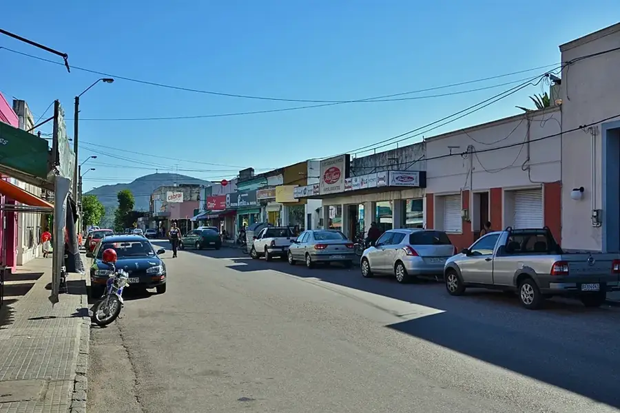
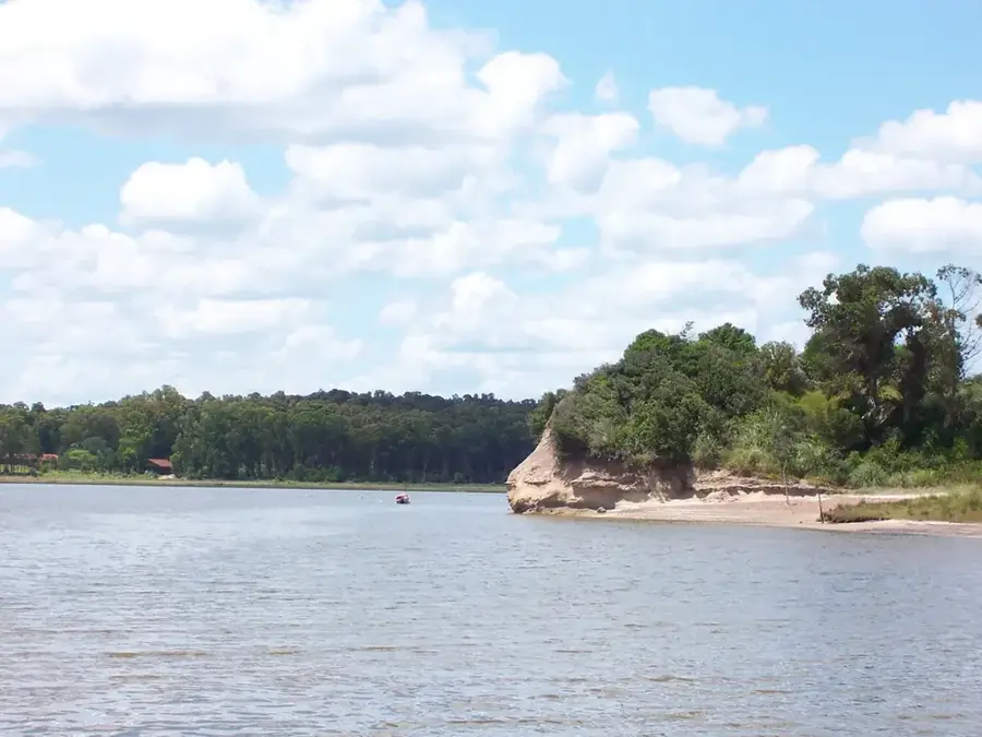
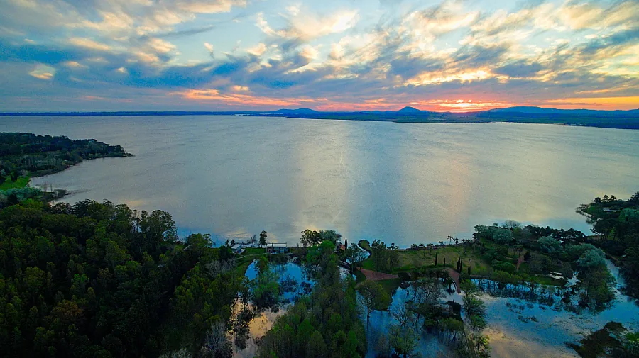
Pan de Azúcar is a city in the Maldonado Department, its name derived from the nearby hill of the same name, Cerro Pan de Azúcar. The city was founded in October 1874 and functions as an important commercial and service center for the surrounding agricultural region. Its economy is based mainly on agriculture, livestock farming, as well as cement and stone quarrying. The main attraction of the area is Cerro Pan de Azúcar itself, which at 389 meters is one of Uruguay's highest points. At its summit stands an impressive 35-meter-tall cross, inaugurated in 1938. At the base of the hill is the 'Estación de Cría de Fauna y Flora Autóctona' nature reserve, an important site for the conservation and breeding of native animal species. The city has a glimpse into rural Uruguayan life, away from the bustling coastal resorts.
- Location: Uruguay
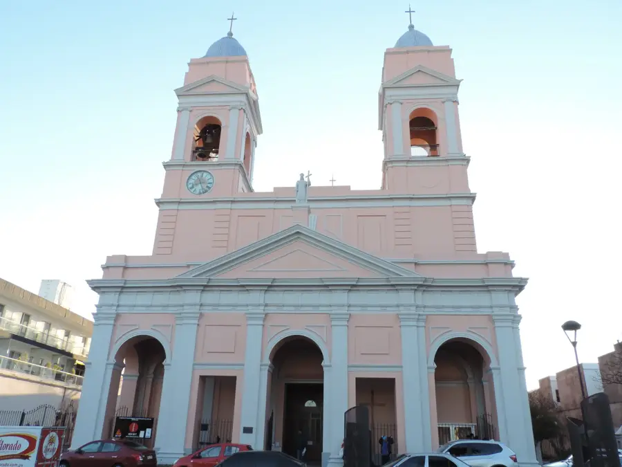
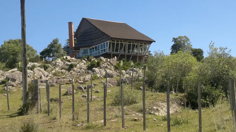
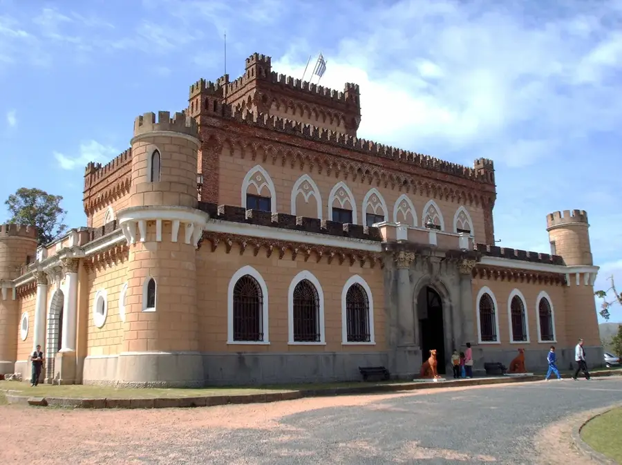
- Top sights: Cerro Pan de Azúcar · Casa de la Cultura de Pan de Azucar · La Casona (Baile)
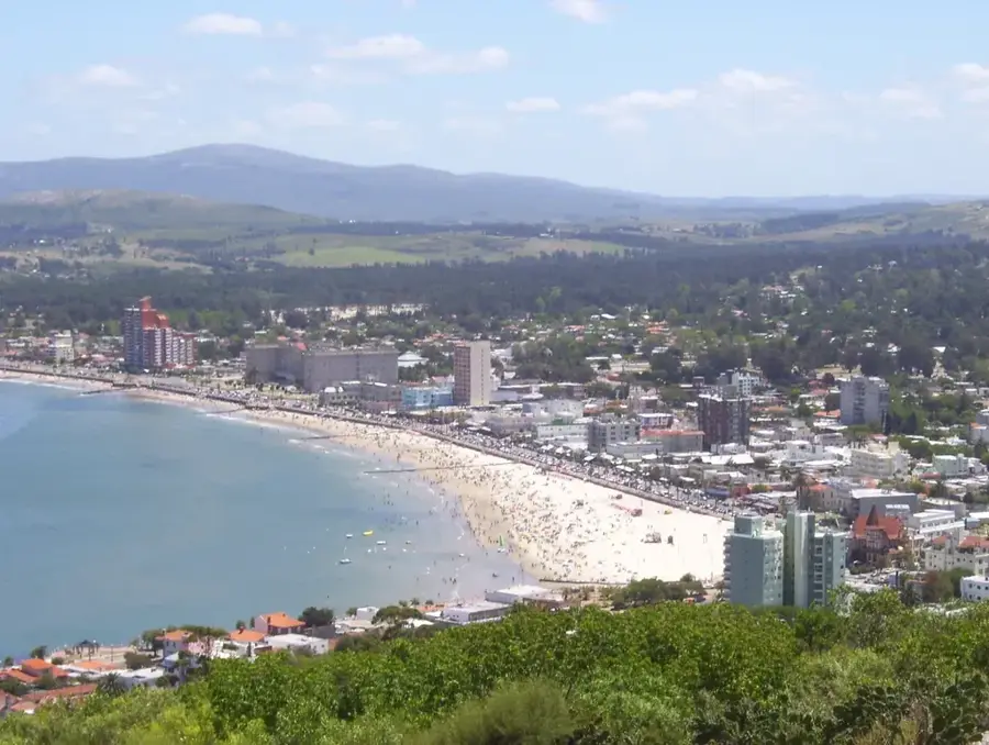
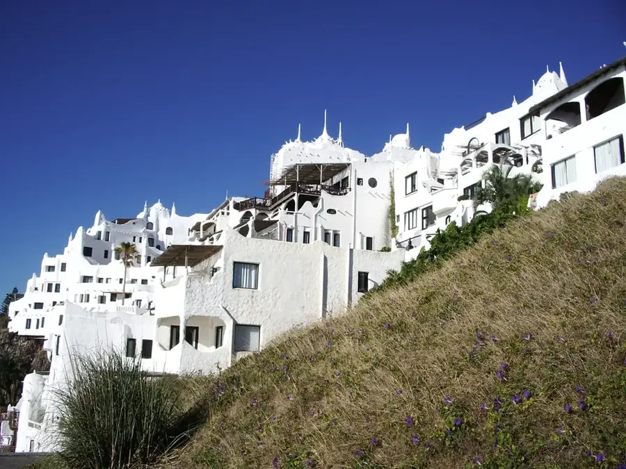
- Nearby: Piriápolis (7 km)
- Population: ~6.597 (2021)
Best time to visit & climate
The most pleasant time to visit is Jan, Mar, Dec.
| Jan | Feb | Mar | Apr | May | Jun | Jul | Aug | Sep | Oct | Nov | Dec | |
|---|---|---|---|---|---|---|---|---|---|---|---|---|
| Avg °C | 22 | 22 | 21 | 18 | 15 | 12 | 11 | 12 | 13 | 15 | 18 | 20 |
| Rain mm | 97 | 118 | 117 | 110 | 91 | 104 | 96 | 100 | 98 | 103 | 93 | 86 |
Geography
Facts
- The city was founded in October 1874.
- The Cerro Pan de Azúcar hill is 389 meters high.
- The cross on the hill's summit was erected in 1938 and is 35 meters tall.
- The nature reserve at the base of the hill was established in 1980.
- The city's name means 'Sugarloaf'.
- The population of the city is approximately 7,000 inhabitants.
Explore nearby
Notable places around
Route planner — Car & Motorhome
Where do you start? We build the route here, with stops and country notes along the way.
© OpenStreetMap contributors · OpenRouteService
Sights in the town Pan de Azúcar (3)
Frequently asked questions
Is it worth stopping in Pan de Azúcar?
How difficult is the hike up the mountain?
Is there a visitor center?
Is the place easily accessible?
Is the food good there?
Pan de Azúcar: where is it located?
Pan de Azúcar: what is there to see?
Pan de Azúcar: when is the best time to visit?
Pan de Azúcar: why is it worth visiting?

Nearby cities
History & landmarks

Nature

More places