Plizio Visual Lab
Sierra de los Caracoles
Weather…
Water temperature…
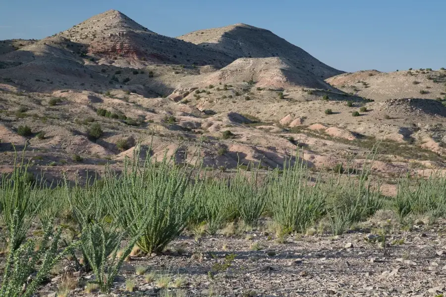
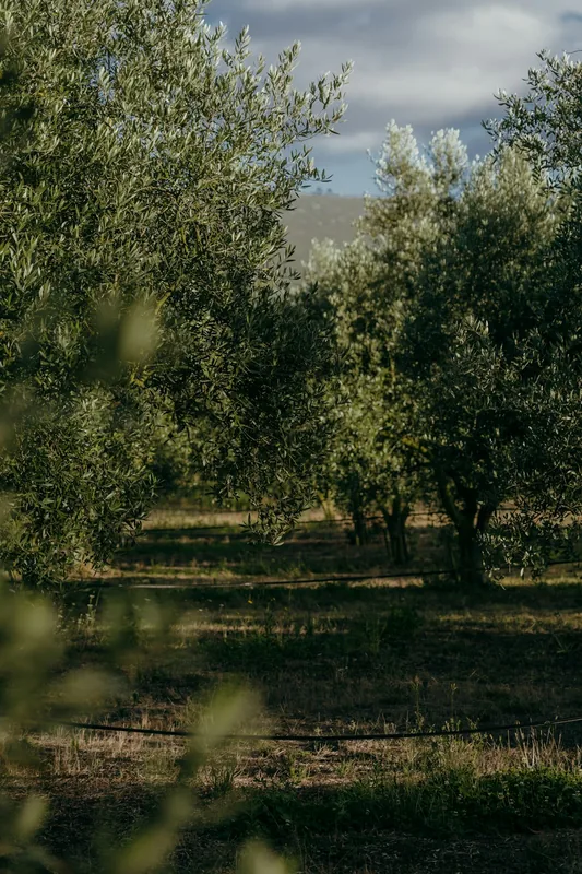
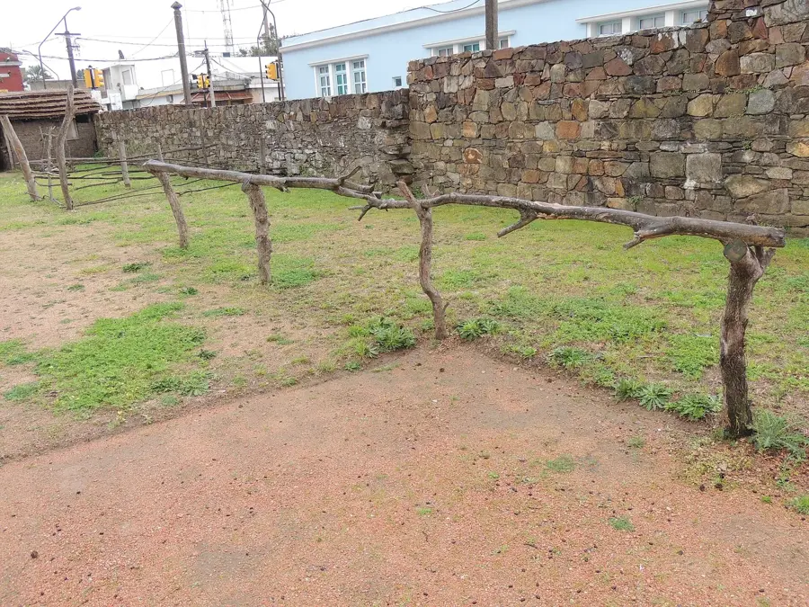
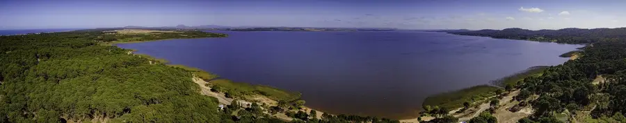
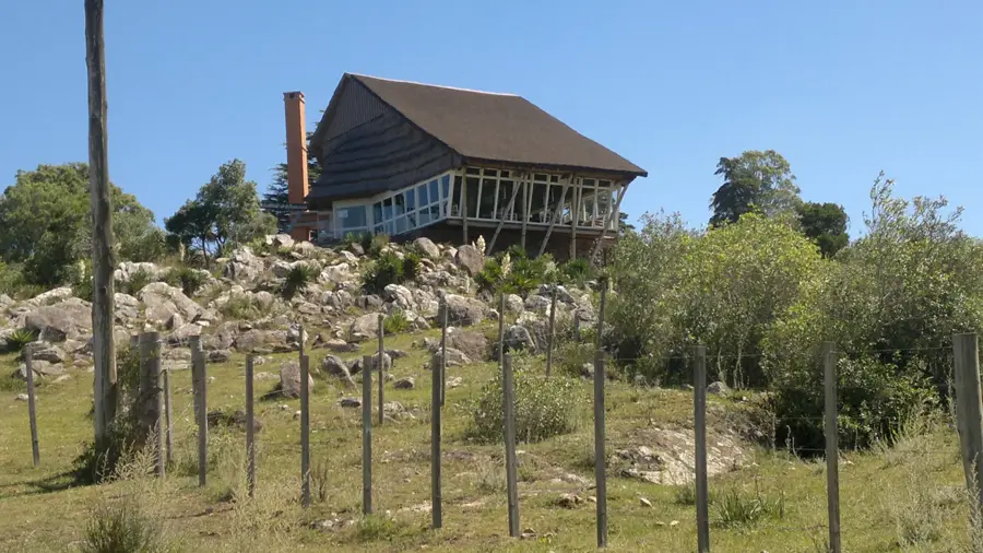
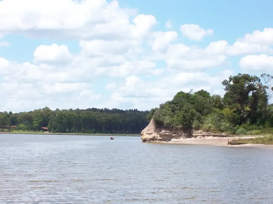
The Sierra de los Caracoles is a hill range located in the Maldonado and Lavalleja departments of southeastern Uruguay. It is a branch of the larger Cuchilla Grande range. The range is known for its gentle rolling hills and scenic beauty. Its elevations are moderate, reaching around 250 meters at its highest point, Cerro de la Tumba. Geologically, like most of the region, the Sierra de los Caracoles is composed of Precambrian granite and metamorphic rocks. Its name, 'Range of the Snails', is somewhat obscure but might refer to the winding roads that traverse the hills or the presence of land snails. The region is sparsely populated and is used primarily for cattle ranching. In recent years, the area has become a location for wind energy, with several wind farms installed on the crests of the Sierra to take advantage of the consistent winds. This development has modified the landscape, sparking a debate about the balance between renewable energy and landscape preservation. The Sierra is also known for its panoramic roads that offer spectacular views.
- Location: Uruguay
- Top sights: Cerro de las Espinas · Cerro Laureles · Cerro Casaña
- Nearby: Villa Serrana (20 km)
Best time to visit & climate
The most pleasant time to visit is Jan, Feb, Dec.
| Jan | Feb | Mar | Apr | May | Jun | Jul | Aug | Sep | Oct | Nov | Dec | |
|---|---|---|---|---|---|---|---|---|---|---|---|---|
| Avg °C | 23 | 22 | 20 | 16 | 13 | 10 | 9 | 11 | 12 | 15 | 18 | 21 |
| Rain mm | 97 | 118 | 125 | 104 | 95 | 107 | 96 | 106 | 101 | 103 | 90 | 88 |
📋 Practical info
Geography
Facts
- A branch of the Cuchilla Grande range.
- Located in the Maldonado and Lavalleja departments.
- The highest elevation reaches around 250 meters.
- Composed of Precambrian granite.
- Site of several large wind farms.
- Known for its panoramic roads with expansive views.
Explore nearby
Notable places around
Route planner — Car & Motorhome
Where do you start? We build the route here, with stops and country notes along the way.
© OpenStreetMap contributors · OpenRouteService
Sights in the town Sierra de los Caracoles (3)
Sights nearby
Frequently asked questions
Is Sierra de los Caracoles developed for tourism?
What can you do there?
Are there many hikers there?
How do you get there?
Do you need provisions?
Sierra de los Caracoles: where is it located?
Sierra de los Caracoles: what is there to see?
Sierra de los Caracoles: when is the best time to visit?
Sierra de los Caracoles: why is it worth visiting?

Nearby cities

History & landmarks


Nature

More places