Plizio Visual Lab
Cuchilla Alta
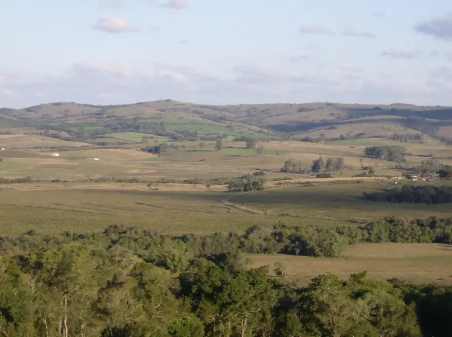
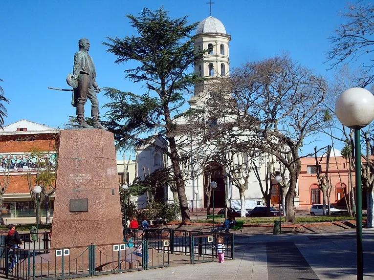
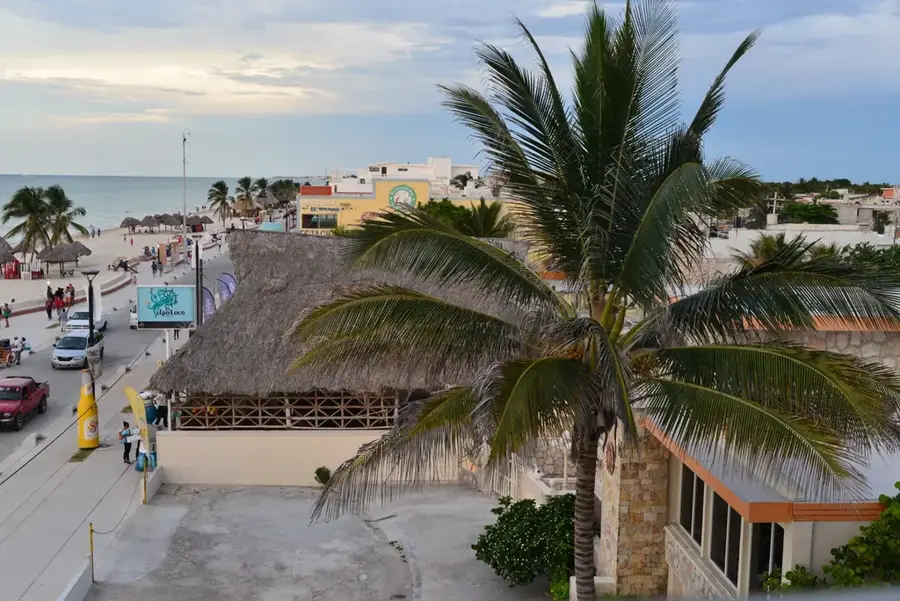
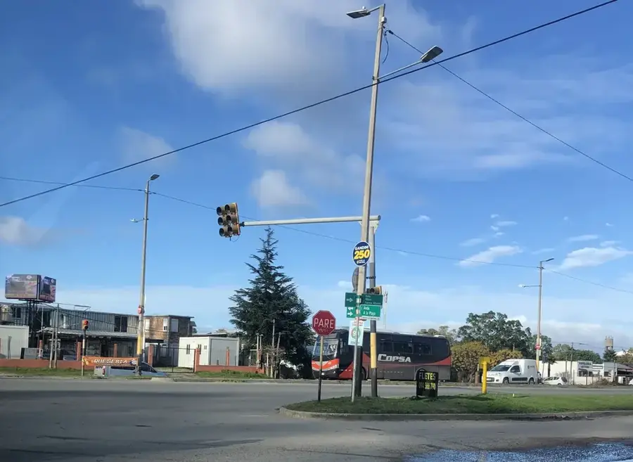
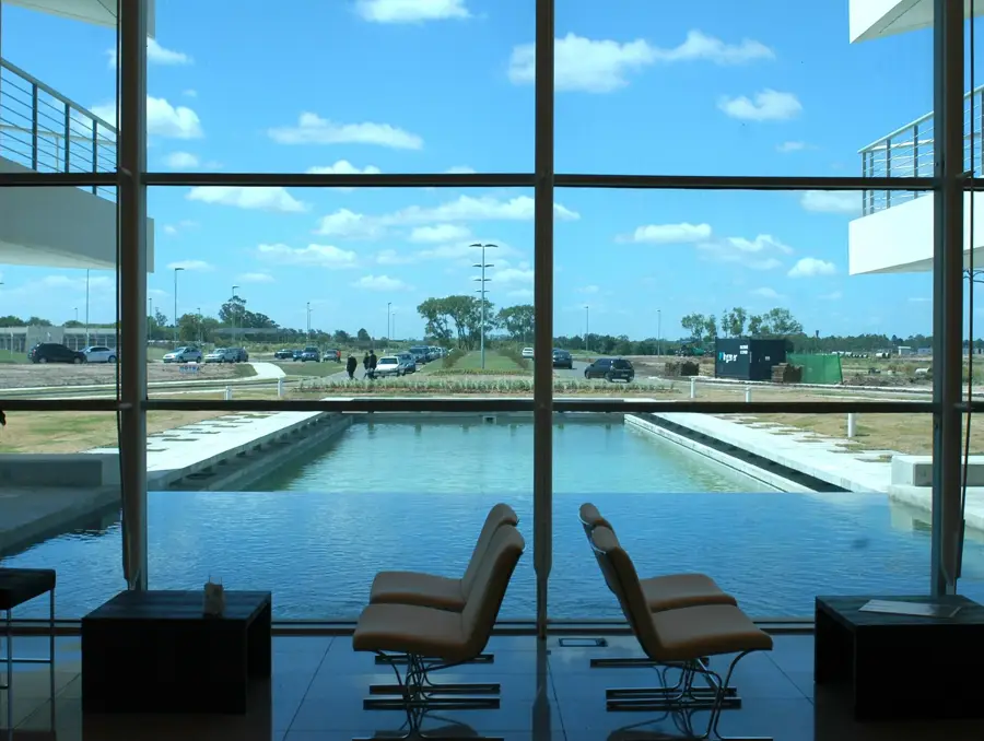
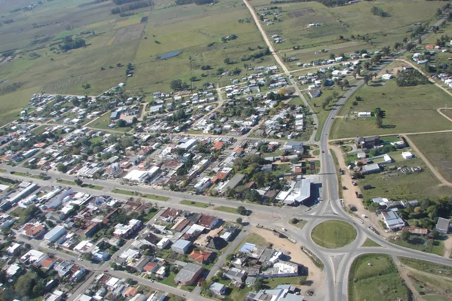
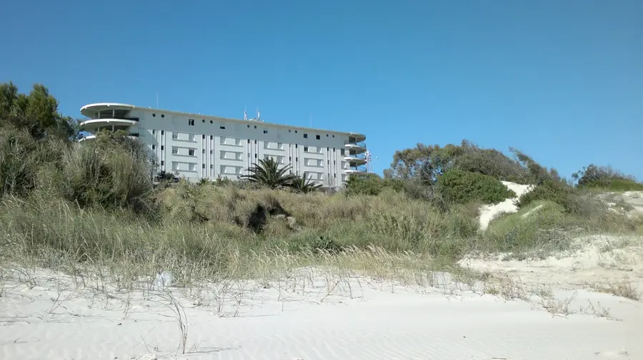
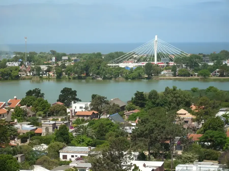
The Cuchilla Alta is a small coastal hill range that gives its name to the Cuchilla Alta resort in the Canelones Department, Uruguay. It is a small spur of the much larger Cuchilla Grande, extending to the coast of the Río de la Plata. Its altitude is very modest, barely exceeding 70 meters above sea level. Despite its humble height, it is significant in the landscape as it is the only notable elevation along an otherwise flat stretch of coast. Geologically, it is composed of the same Precambrian granite rock as the main range. The Cuchilla Alta is densely populated and fully integrated into the urban fabric of the seaside resort. Its slopes are covered with houses, streets, and vegetation. The name 'High Blade' is relative to the flat surroundings; the elevation provided an early point of reference for sailors and fishermen. Today, its main function is as a residential area and a viewpoint, offering wide views over the Río de la Plata. The beach at the foot of the Cuchilla is a popular destination for vacationers.
- Location: Uruguay
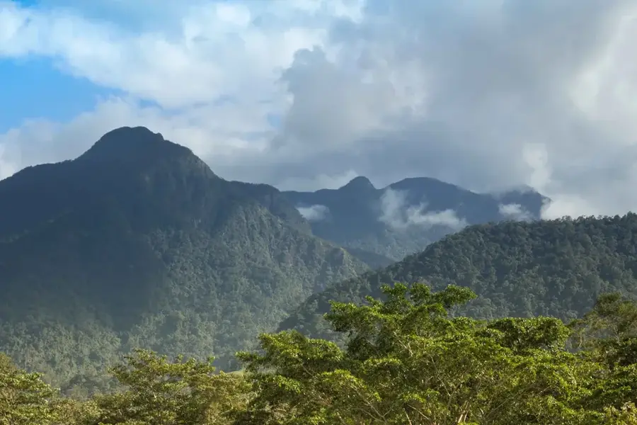
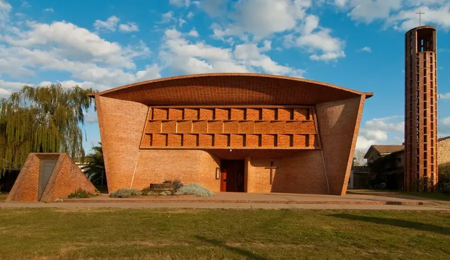
- Top sights: Cerro Piedras de Afilar · San Luis · La Llorona
- Nearby: La Floresta (20 km)
Best time to visit & climate
The most pleasant time to visit is Jan, Mar, Dec.
| Jan | Feb | Mar | Apr | May | Jun | Jul | Aug | Sep | Oct | Nov | Dec | |
|---|---|---|---|---|---|---|---|---|---|---|---|---|
| Avg °C | 23 | 23 | 21 | 19 | 15 | 12 | 11 | 12 | 13 | 16 | 18 | 21 |
| Rain mm | 101 | 111 | 112 | 115 | 85 | 106 | 99 | 97 | 101 | 100 | 94 | 84 |
📋 Practical info
Geography
Facts
- Gives its name to the Cuchilla Alta resort.
- Located in the Canelones Department.
- The maximum altitude is approximately 70 meters.
- A small coastal spur of the Cuchilla Grande.
- Composed of Precambrian granite.
- Fully integrated into the resort's urban fabric.
Explore nearby
Notable places around
Route planner — Car & Motorhome
Where do you start? We build the route here, with stops and country notes along the way.
© OpenStreetMap contributors · OpenRouteService
Sights in the town Cuchilla Alta (8)
Sights nearby
Frequently asked questions
Is Cuchilla Alta family-friendly?
Are there restaurants nearby?
How much time should be allocated?
Is the area accessible all year round?
Is camping allowed there?
Cuchilla Alta: where is it located?
Cuchilla Alta: what is there to see?
Cuchilla Alta: when is the best time to visit?
Cuchilla Alta: why is it worth visiting?

Nearby cities
History & landmarks
Nature
More places