Plizio Visual Lab
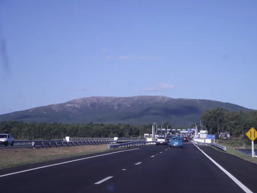
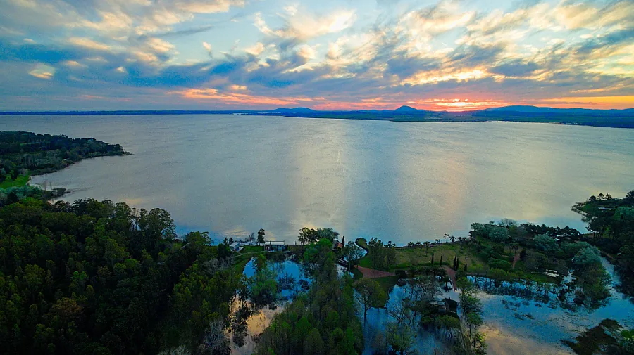
Sierra de las Ánimas
Weather…
Water temperature…
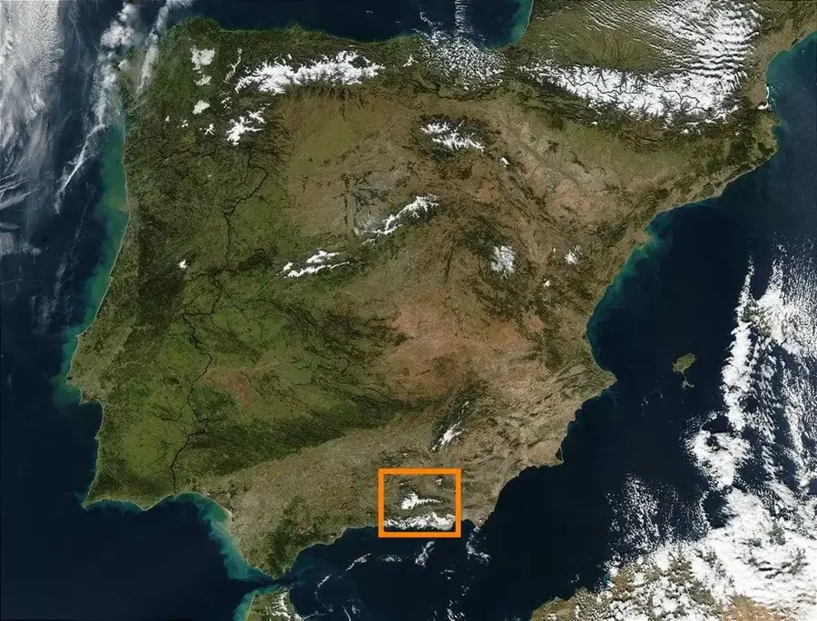
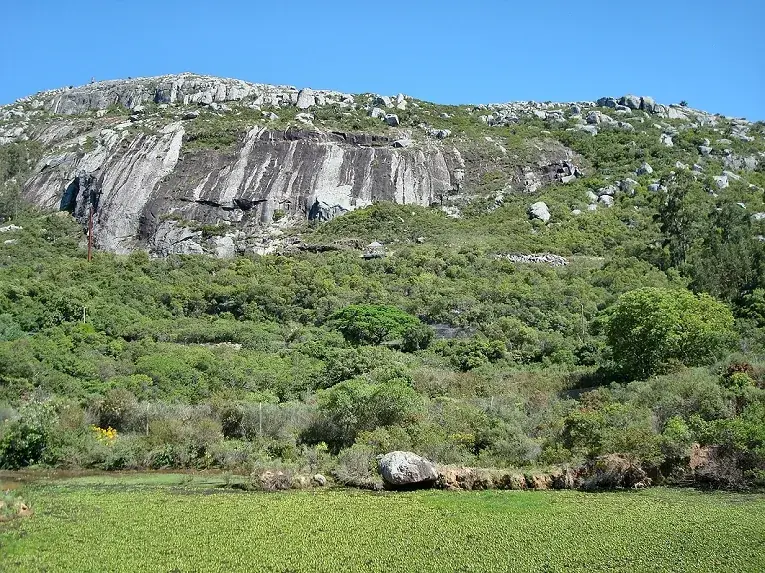
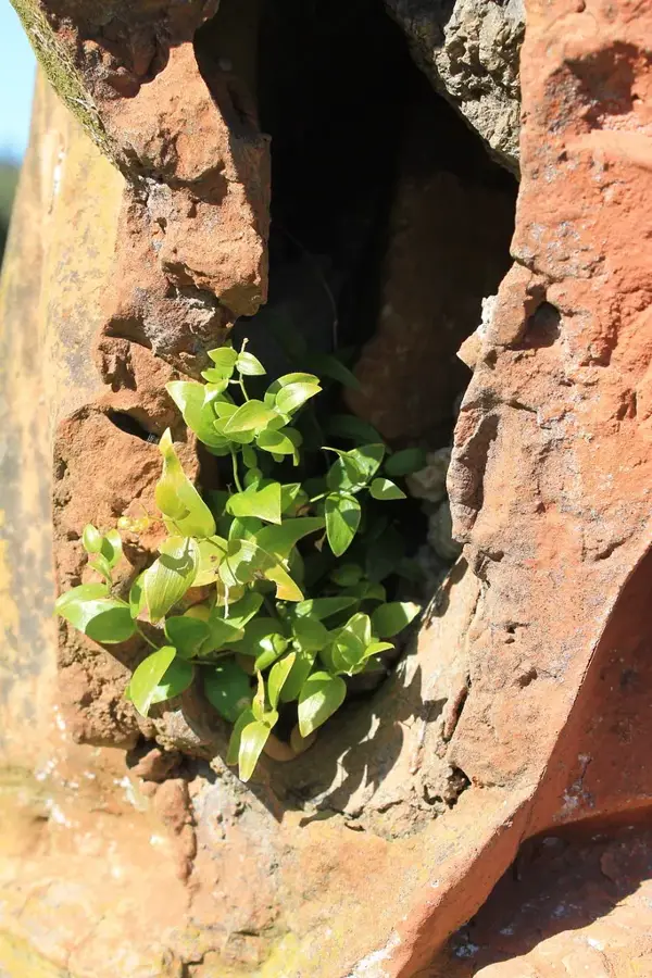
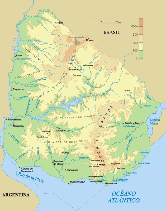
The Sierra de las Ánimas is a notable mountain range in southern Uruguay, stretching across the departments of Lavalleja and Maldonado. It is renowned for hosting some of the country's highest peaks, including Cerro de las Ánimas, which was long considered the highest point in Uruguay before more precise measurements placed Cerro Catedral first. Cerro de las Ánimas reaches an altitude of 501 meters. Geologically, the range is of volcanic origin, being one of the few examples of such formations in the country. It was formed approximately 500 million years ago and is composed of rhyolite and other volcanic rocks. The landscape is characterized by rugged peaks, deep valleys, and unique vegetation. In its higher elevations, palm groves of the Butia odorata species can be found, a rarity at this geographical latitude. The Sierra held historical significance, having been inhabited by indigenous peoples in pre-Hispanic times and later serving as a strategic point during the wars of independence. Today, it is an important area for ecotourism and scientific research.
- Location: Uruguay
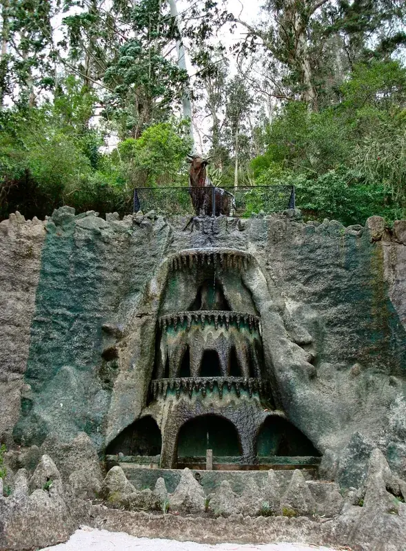
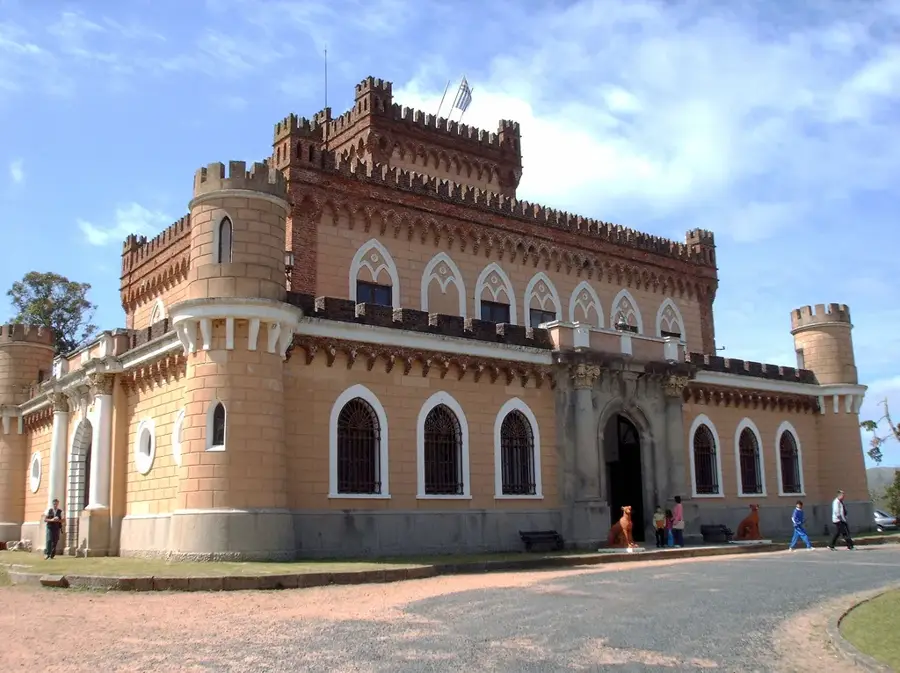
- Top sights: Cerro de las Ánimas · Cerro Vichadero Chico · Antiguo mástil
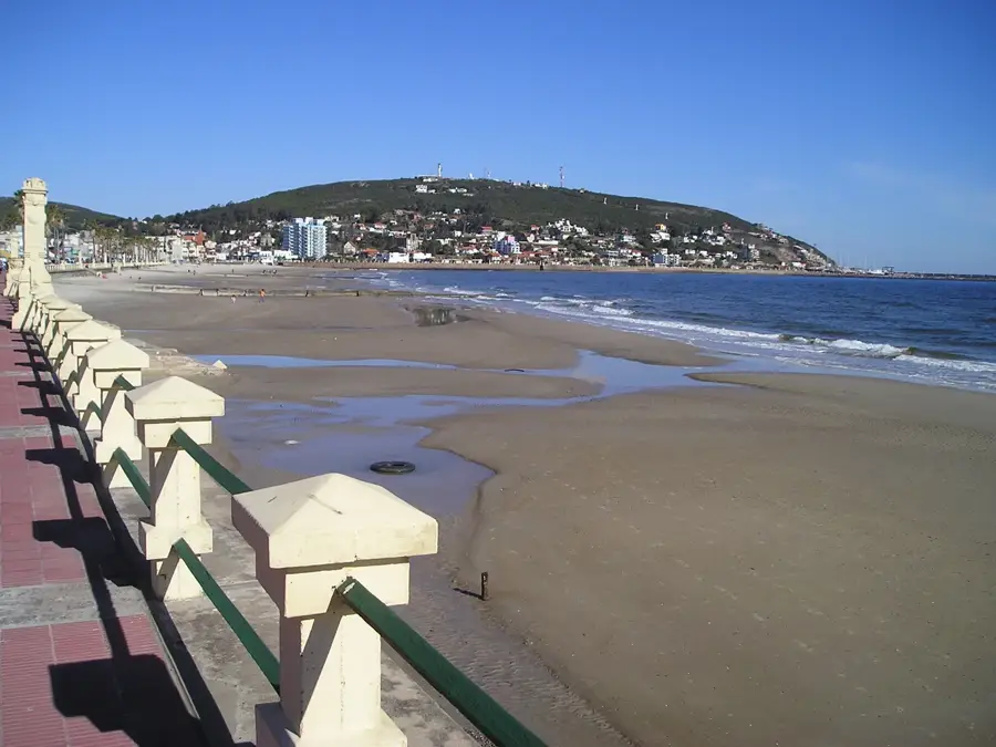
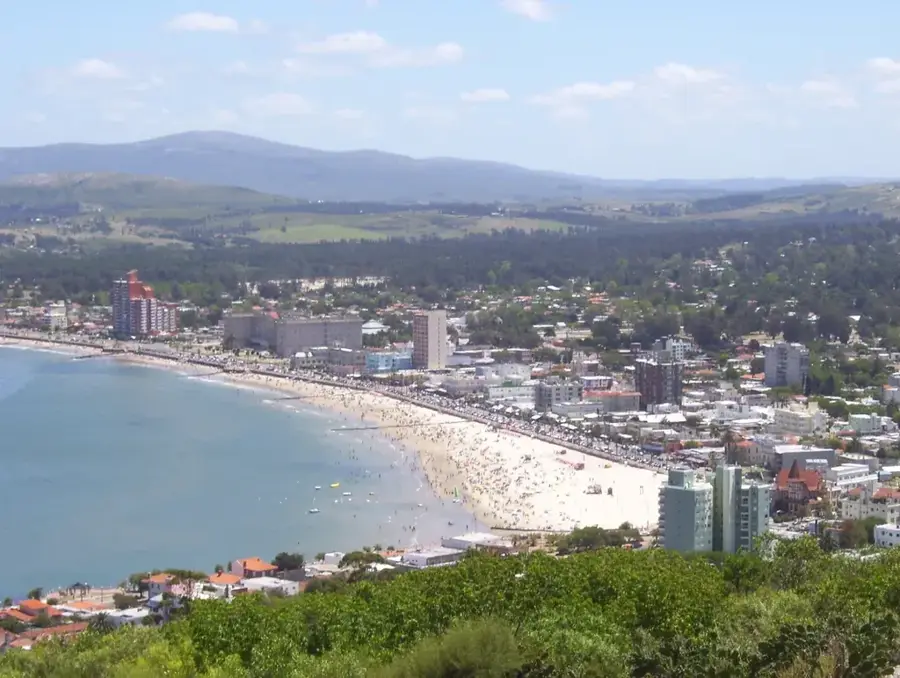
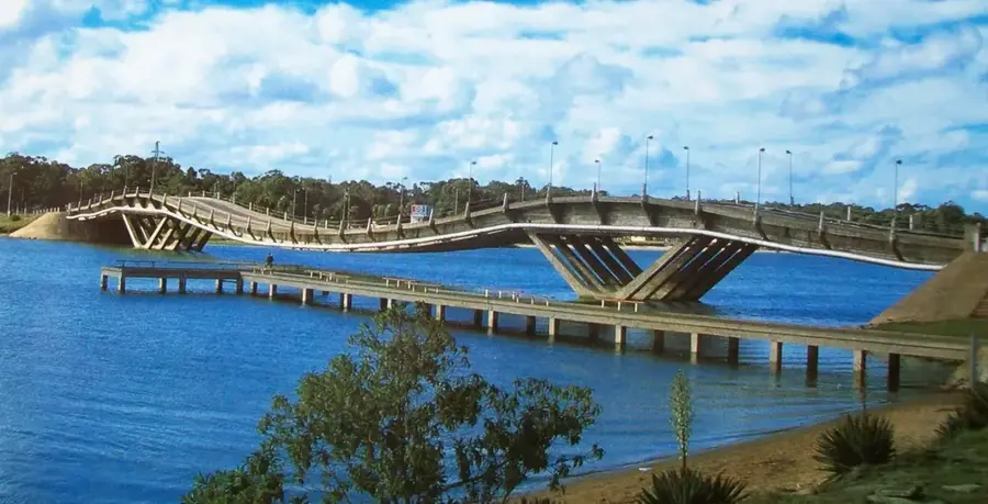
- Nearby: Piriápolis (9 km)
Best time to visit & climate
The most pleasant time to visit is Mar, Nov, Dec.
| Jan | Feb | Mar | Apr | May | Jun | Jul | Aug | Sep | Oct | Nov | Dec | |
|---|---|---|---|---|---|---|---|---|---|---|---|---|
| Avg °C | 24 | 23 | 21 | 17 | 13 | 11 | 10 | 11 | 13 | 16 | 19 | 22 |
| Rain mm | 97 | 109 | 123 | 103 | 90 | 99 | 95 | 102 | 100 | 106 | 92 | 89 |
📋 Practical info
Geography
Facts
- Home to Cerro de las Ánimas, 501 meters high.
- Geologically of volcanic origin.
- Its rock formations are approximately 500 million years old.
- Stretches across the Lavalleja and Maldonado departments.
- Only place in Uruguay with natural Butia odorata palm groves at high altitudes.
- Served as a strategic point in the wars of independence.
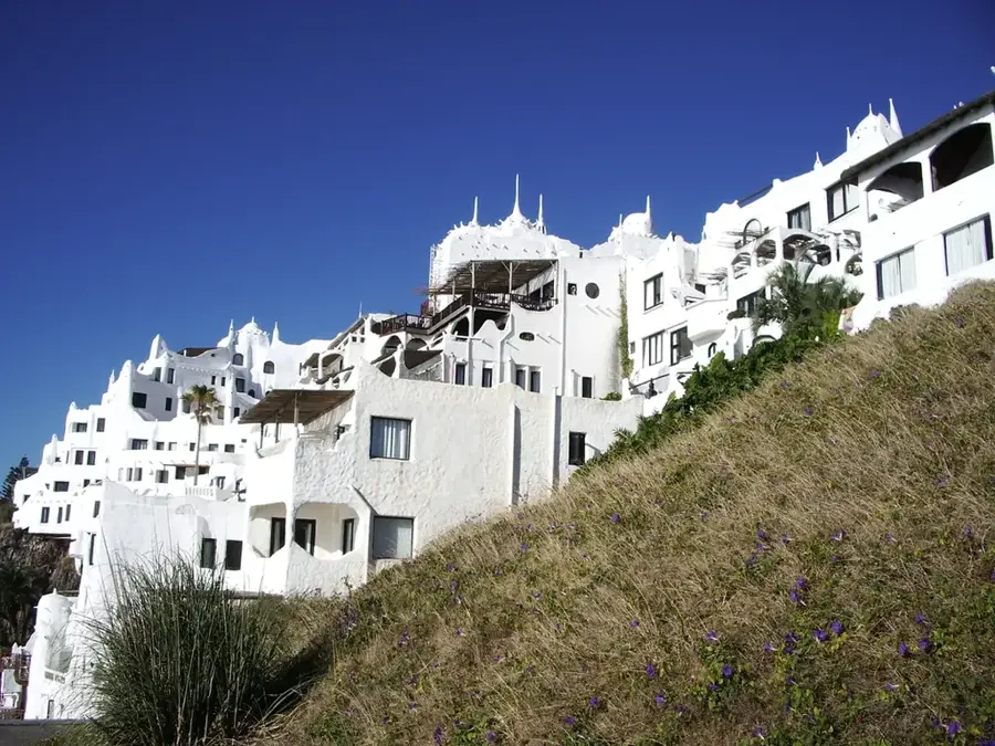
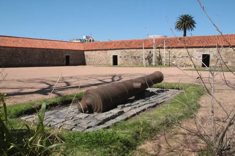
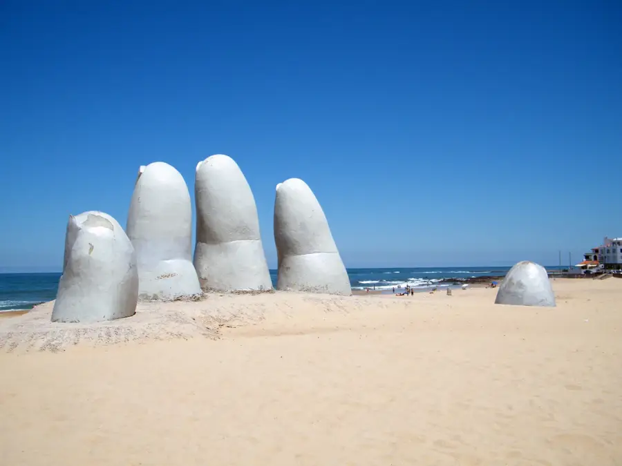
Explore nearby
Notable places around
Route planner — Car & Motorhome
Where do you start? We build the route here, with stops and country notes along the way.
© OpenStreetMap contributors · OpenRouteService
Sights in the town Sierra de las Ánimas (3)
Sights nearby
Frequently asked questions
Is the Sierra de las Ánimas a good hiking destination?
Are there steep sections there?
Do you have to pay for access?
Should you book a guide?
What is the best time of day?
Sierra de las Ánimas: where is it located?
Sierra de las Ánimas: what is there to see?
Sierra de las Ánimas: when is the best time to visit?
Sierra de las Ánimas: why is it worth visiting?

Nearby cities


History & landmarks


Nature

More places