Plizio Visual Lab
Barros Blancos
ℹ️Practical info — Barros Blancos
▾
🌤 Weather — 5 days
📍 Nearby
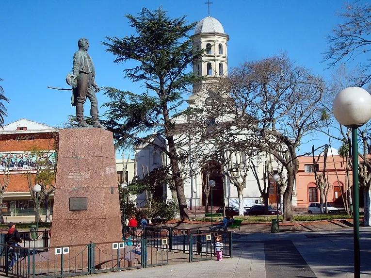
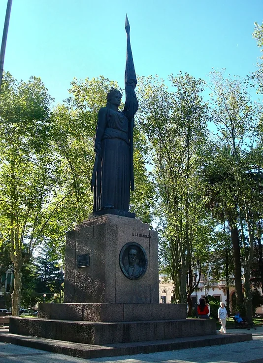
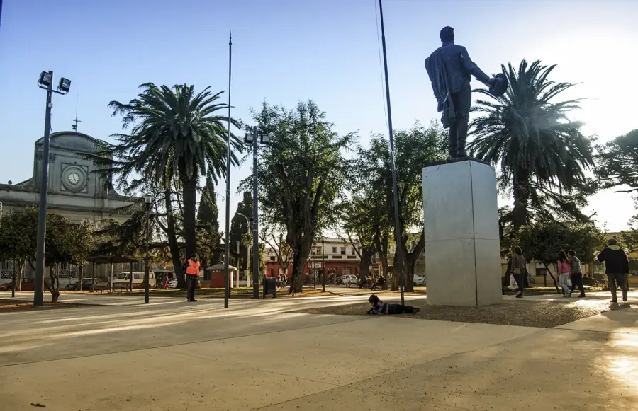
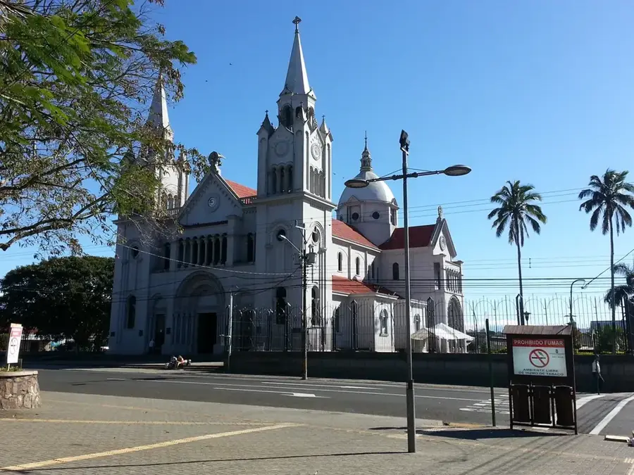
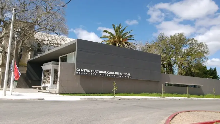
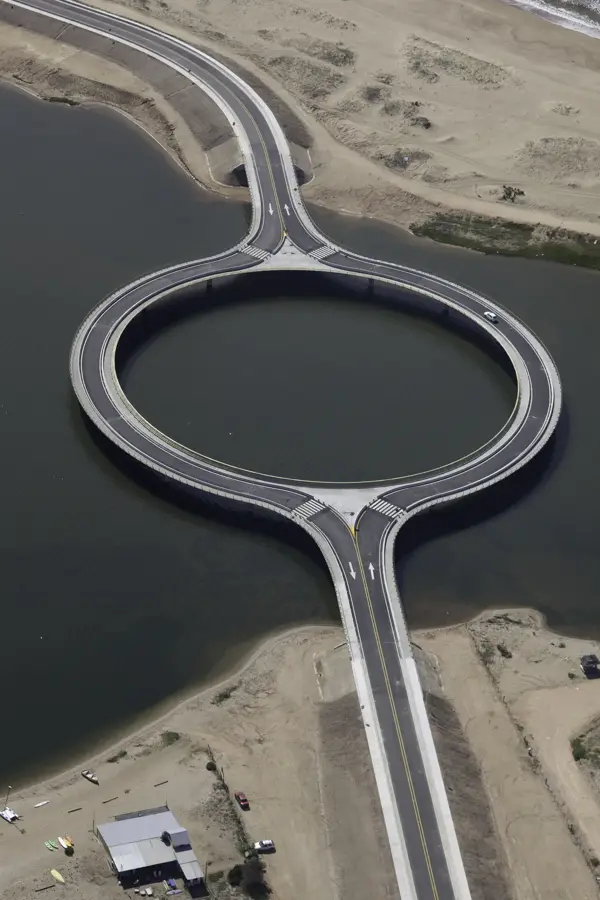
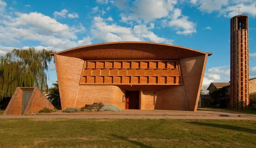
Sights nearby
💡 Tips
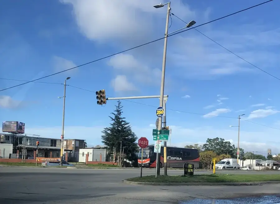
- Buses along Route 8 connect the city easily to Pando and Montevideo.
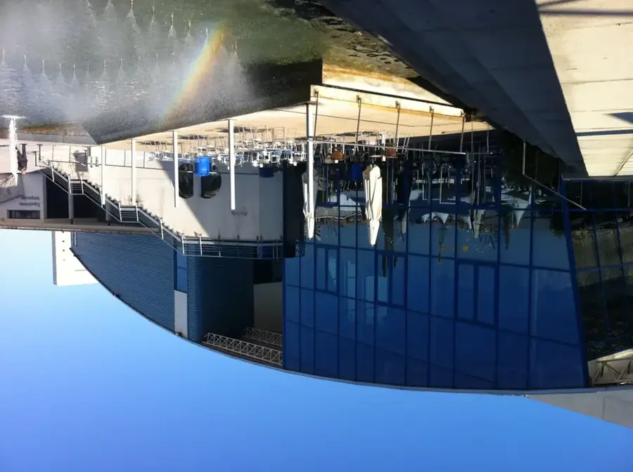
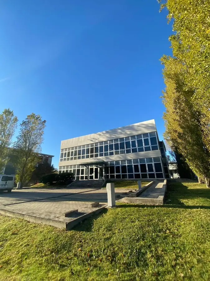
- It is a predominantly residential and industrial area; tourism infrastructure is limited.
- Carry some Uruguayan pesos, as smaller shops might not accept foreign cards.
- Mate culture is strong here; you will see many locals carrying their thermos and gourd.
🍽 Food
Try traditional Uruguayan barbecue at family-style parrilladas along the main roads.
The legendary local steak sandwich can be found in casual eateries and food stands.
Pick up these sweet or savory pastries from a local panadería for an afternoon snack.
🛍 Shopping · 🧘 Quiet spots
The main highway acts as the commercial spine with various local shops and markets.
Look out for neighborhood street markets selling produce, clothes, and everyday items.
Small local plazas offer a simple place to sit and enjoy a quiet mate in the afternoon.
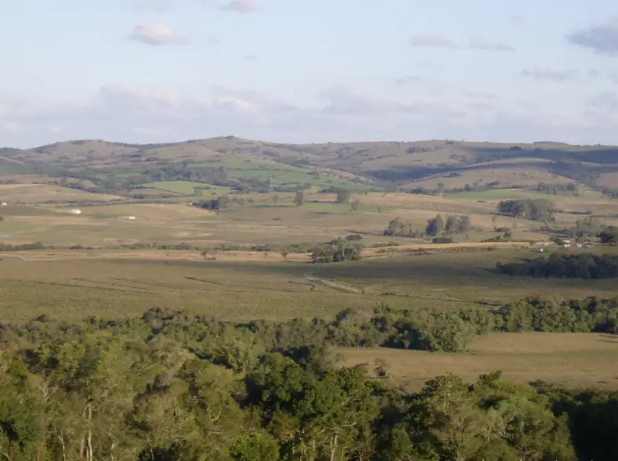
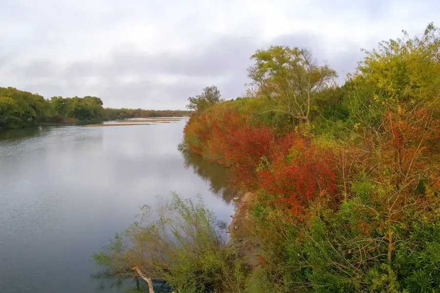
Just outside the urban area, you can find peaceful rural landscapes.
Water temperature…
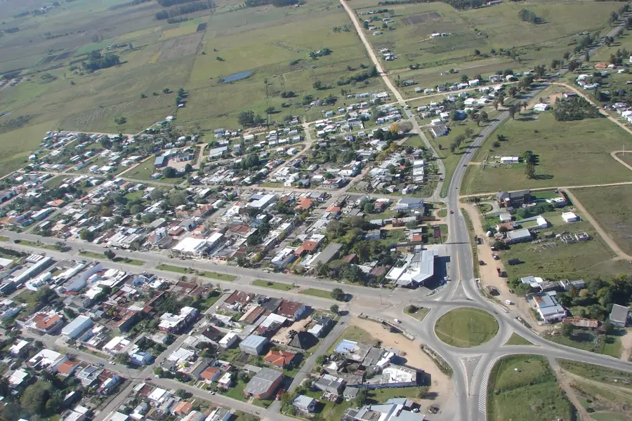
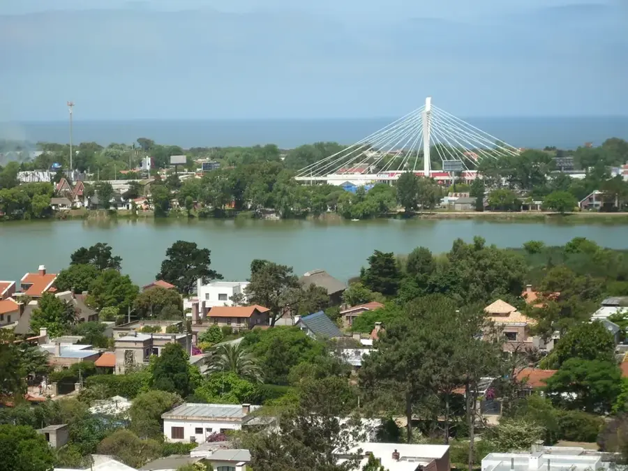
Barros Blancos is a city in the Canelones Department of Uruguay, forming part of the Montevideo metropolitan area. It is located along National Route 8, approximately 20 kilometers northeast of the center of Montevideo. The city emerged from the merging of several smaller settlements and neighborhoods, and was officially recognized as a city on December 13, 1976. Its name honors Juan Francisco de Barros, a former landowner in the region. Historically, the area was predominantly rural, but like many towns on the periphery of Montevideo, it experienced significant population growth during the second half of the 20th century. This growth was driven by the search for affordable housing and the expansion of industry from the capital. Today, Barros Blancos is a city with a mix of residential, commercial, and industrial areas. Its proximity to Route 8 facilitates the transport of goods and people, making it an important corridor. The city faces the typical challenges of rapidly growing urban areas, including the need to adapt infrastructure and public services to its expanding population.
- Location: Uruguay
- Nearby: Ciudad de la Costa (5 km)
- Population: ~31.650 (2019)
Best time to visit & climate
The most pleasant time to visit is Mar, Nov, Dec.
| Jan | Feb | Mar | Apr | May | Jun | Jul | Aug | Sep | Oct | Nov | Dec | |
|---|---|---|---|---|---|---|---|---|---|---|---|---|
| Avg °C | 23 | 23 | 21 | 18 | 15 | 12 | 10 | 12 | 13 | 16 | 19 | 21 |
| Rain mm | 102 | 106 | 118 | 114 | 84 | 98 | 92 | 89 | 96 | 103 | 96 | 86 |
Geography
Facts
- The city is located on National Route 8, at kilometer 20.
- It was declared a city on December 13, 1976.
- The name honors former landowner Juan Francisco de Barros.
- Until 2007, the city was officially named Capitán Juan Antonio Artigas.
- The 2011 census recorded a population of 31,650.
- Barros Blancos was formed from the fusion of several smaller localities.
- Economically, the city is characterized by industry and commerce.
- It is an important part of the industrial and logistics corridor of Route 8.
Explore nearby
Notable places around
Route planner — Car & Motorhome
Where do you start? We build the route here, with stops and country notes along the way.
© OpenStreetMap contributors · OpenRouteService
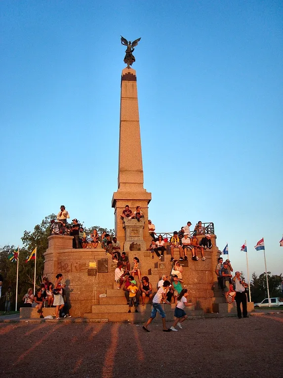
Sights in the town Barros Blancos (1)
Frequently asked questions
How can Barros Blancos be described?
Is it touristically interesting?
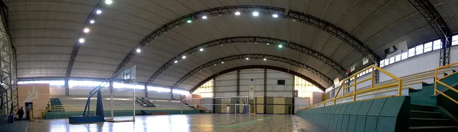
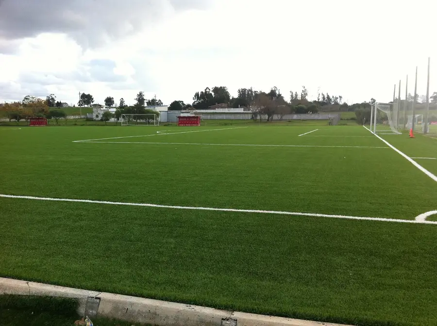
Are there important facilities there?
How is the traffic?
Why should one stop there?
Barros Blancos: where is it located?
Barros Blancos: when is the best time to visit?
Barros Blancos: why is it worth visiting?

Nearby cities
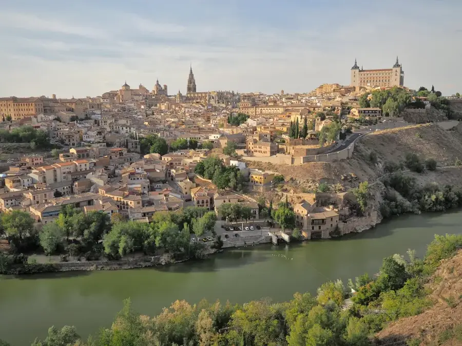
History & landmarks
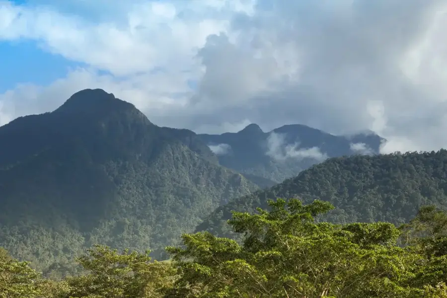
Nature
More places