Plizio Visual Lab
Cerro de las Ánimas
Weather…
Water temperature…
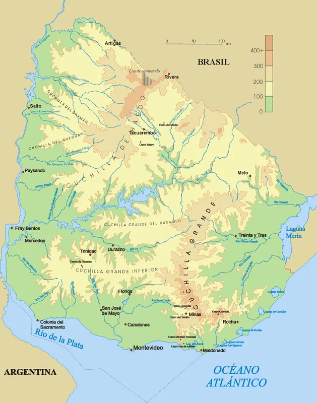
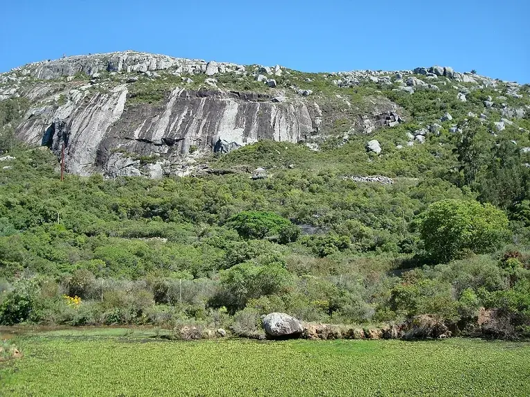
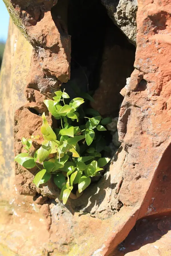
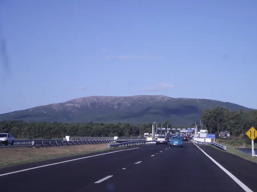
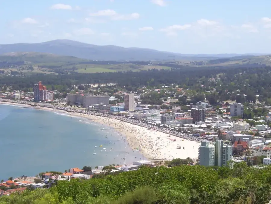
Cerro de las Ánimas, with an elevation of 501 meters, is the second-highest point in Uruguay, located in the Maldonado Department, west of the Sierra de las Ánimas. For a long time, until a re-survey by the Military Geographic Service in 1973, it was erroneously considered the country's highest point. This historical significance gives the hill a special aura, even though it ceded the title to Cerro Catedral. Its name, 'Hill of the Souls', is said to originate from the lights that indigenous people of the region would see on the hill, interpreting them as the souls of the deceased. The hill is part of a private property, but access is generally permitted for hikers and tourists. The ascent is more challenging than that of Cerro Catedral, passing through dense native forests and rocky terrain. The summit has expansive views, which on clear days can reach the coast and the city of Piriápolis. The hill and its surroundings are ecologically important, as they harbor one of the few remaining areas of native Serrano forest in Uruguay, a unique ecosystem with diverse flora and fauna.
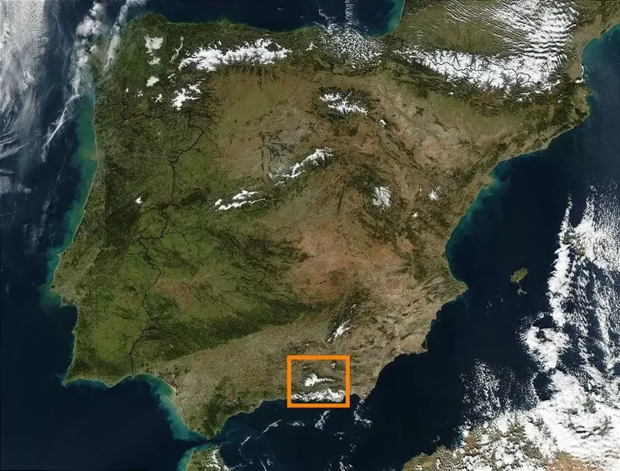
- Location: Uruguay
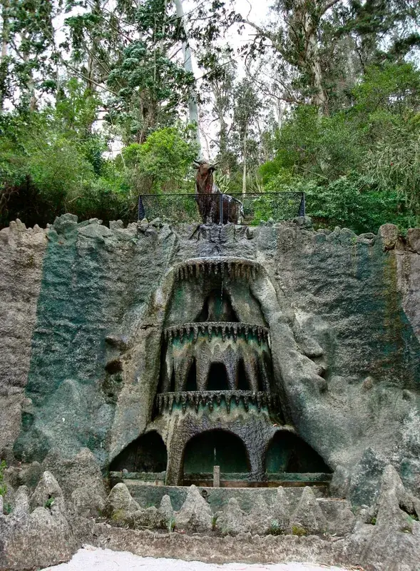
- Top sights: Cerro Vichadero · Cerro Cimarrón · Cerro de la Virgen
- Nearby: Piriápolis (10 km)
Best time to visit & climate
The most pleasant time to visit is Mar, Nov, Dec.
| Jan | Feb | Mar | Apr | May | Jun | Jul | Aug | Sep | Oct | Nov | Dec | |
|---|---|---|---|---|---|---|---|---|---|---|---|---|
| Avg °C | 24 | 23 | 21 | 17 | 13 | 11 | 10 | 11 | 13 | 16 | 19 | 22 |
| Rain mm | 97 | 109 | 123 | 103 | 90 | 99 | 95 | 102 | 100 | 106 | 92 | 89 |
📋 Practical info
Geography
Facts
- Its elevation is 501 meters, the second-highest point in Uruguay.
- Until 1973, it was considered the highest point in Uruguay.
- Its name means 'Hill of the Souls'.
- Its ascent is more challenging than that of Cerro Catedral.
- Located in the Maldonado Department.
- It harbors remnants of native Serrano forest.
Explore nearby
Notable places around
Route planner — Car & Motorhome
Where do you start? We build the route here, with stops and country notes along the way.
© OpenStreetMap contributors · OpenRouteService
Sights in the town Cerro de las Ánimas (3)
Sights nearby
Frequently asked questions
How high is the Cerro de las Ánimas?
Is the ascent difficult?
Are there water sources?
How is the view?
When should one hike?
Cerro de las Ánimas: where is it located?
Cerro de las Ánimas: what is there to see?
Cerro de las Ánimas: when is the best time to visit?
Cerro de las Ánimas: why is it worth visiting?

Nearby cities


History & landmarks


Nature


More places