Plizio Visual Lab
San Jacinto
ℹ️Practical info — San Jacinto
▾
🌤 Weather — 5 days
📍 Nearby
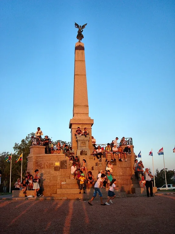
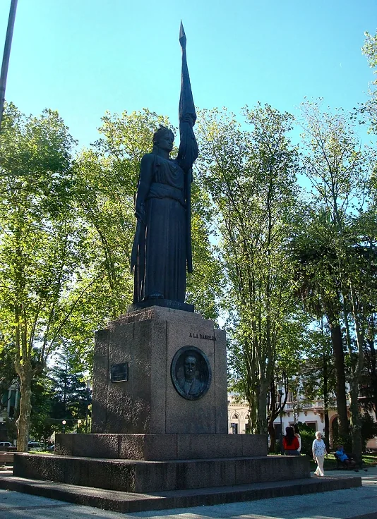
Sights nearby
💡 Tips
- Visit during the 'Fiesta de la Chacra' in late September or October to experience rural traditions.
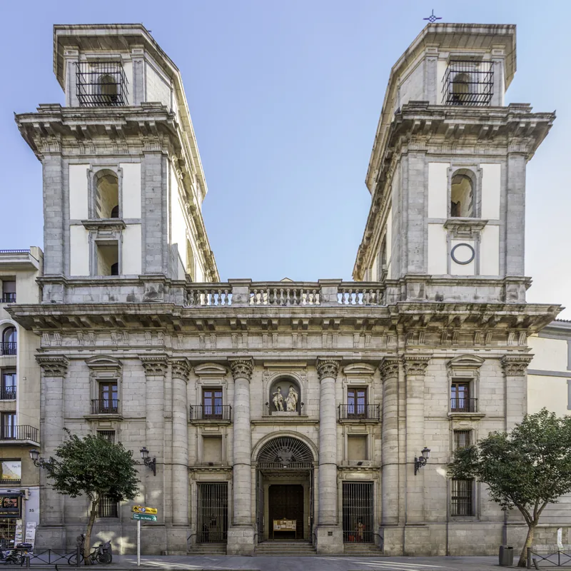
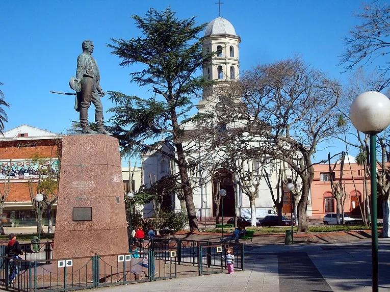
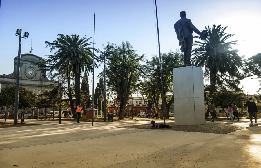
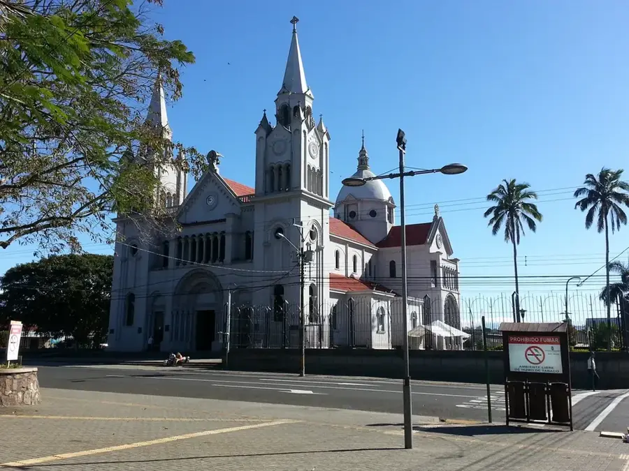
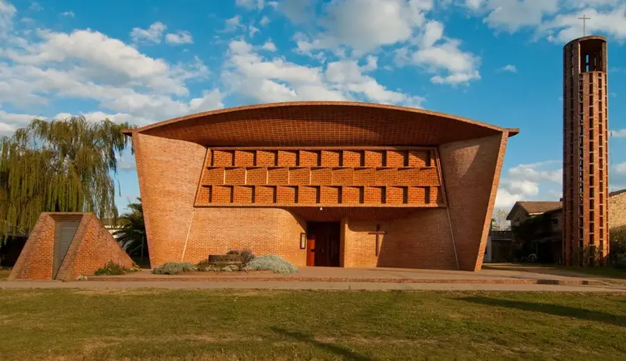
- Admire the historic architecture of the main church located on the central square.
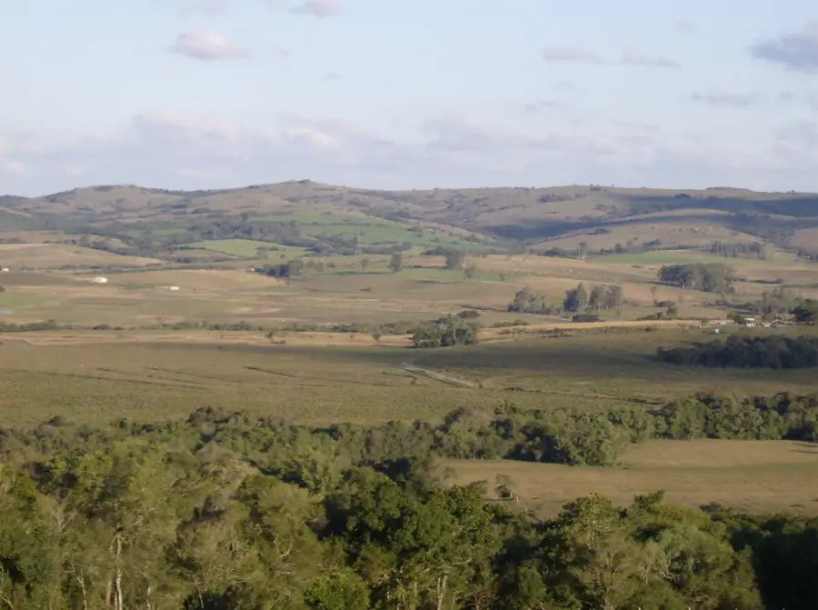
- Take a walk towards the outskirts where the town seamlessly blends into the open countryside.
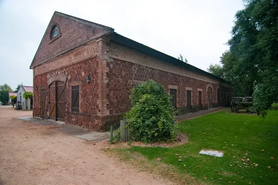
- Look for well-preserved 19th-century houses along Maria Vera and Artigas streets.
🍽 Food
A top-rated spot offering a mix of Italian-influenced dishes and local fare.
The place to go for an authentic Uruguayan Asado in a rustic setting.
Famous for its Chivitos (steak sandwiches) and burgers for a casual meal.
🛍 Shopping · 🧘 Quiet spots
The main commercial reference in town for clothing and general goods.
A local bazar where you can find everyday items and occasional curiosities.
The most serene spot in town, especially on quiet weekday mornings.
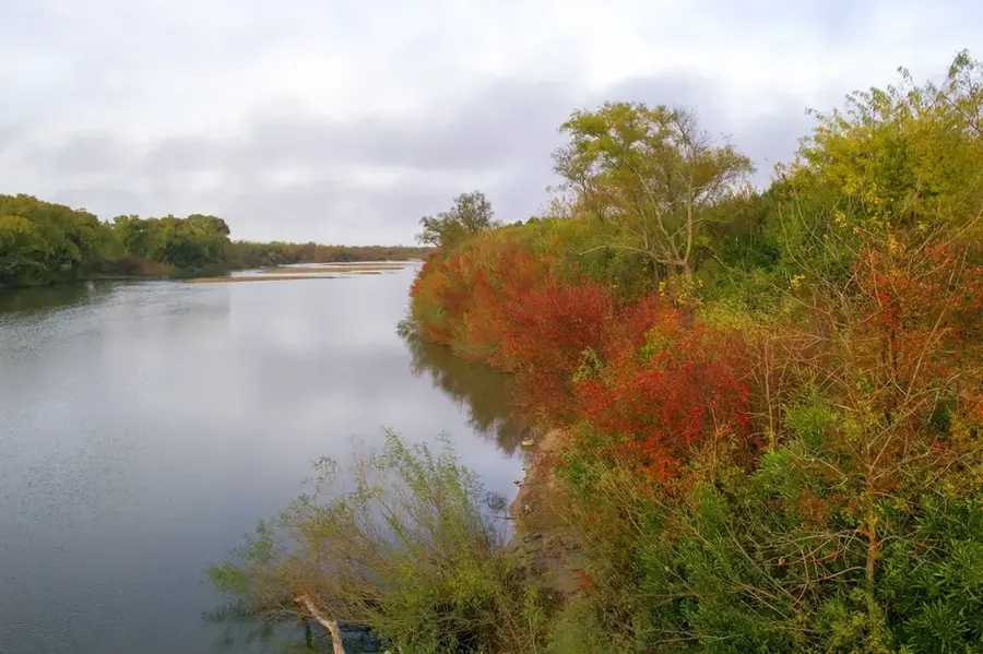
The undeveloped banks of the stream offer a wild and very quiet escape.
Walking towards the Mario Vecino stadium takes you through peaceful residential streets.
Water temperature…
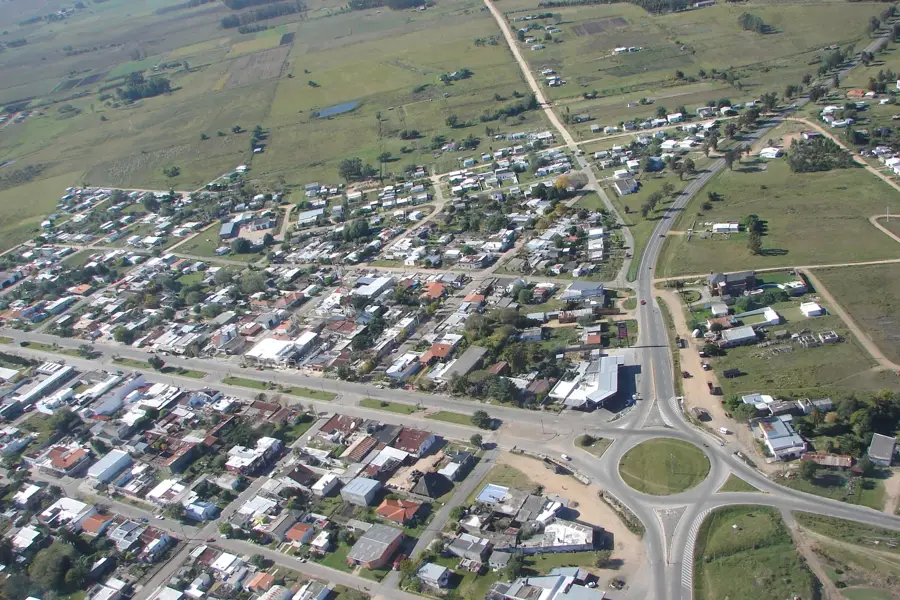
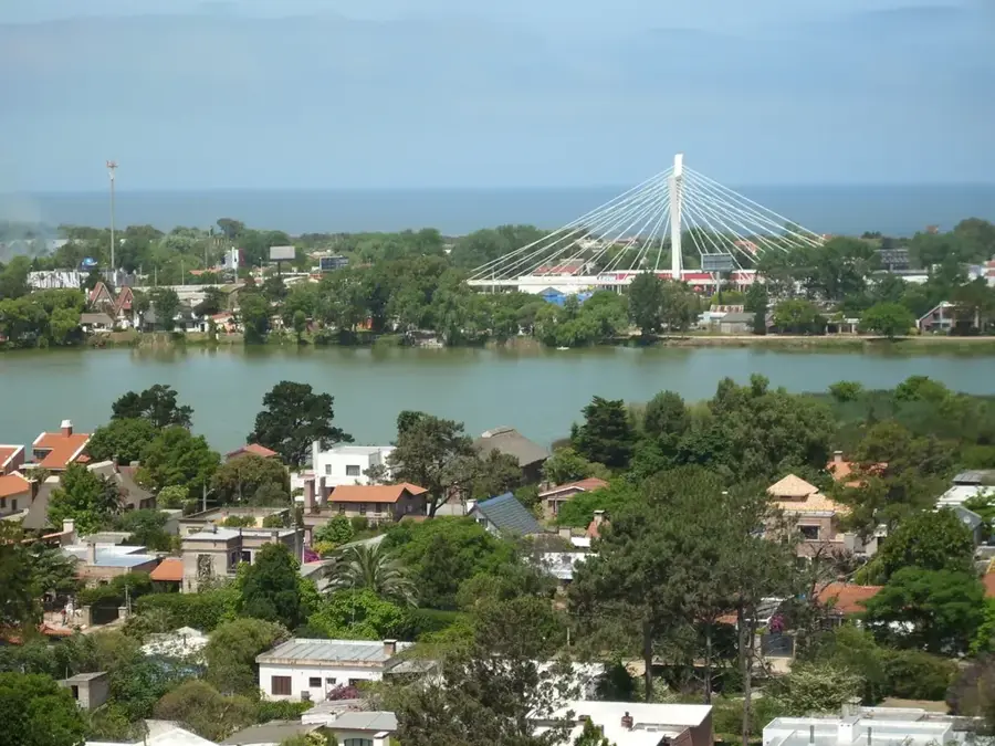
San Jacinto is a city in the Canelones Department of southern Uruguay. It is located approximately 50 kilometers northeast of Montevideo, on National Route 7. The town was founded in 1877 and is named after the Battle of San Jacinto, a significant event in the Texas Revolution, although the connection to Uruguay is rather symbolic. The city is an important regional center with an economy strongly based on agriculture. The surrounding landscape is fertile and is used for growing grains, vegetables, and for livestock farming. One of the most important institutions in San Jacinto is the Agricultural School (Escuela Agraria), which plays a vital role in training professionals for the region's agricultural sector. The city has a typical layout for small Uruguayan towns, with a central square surrounded by the church and the main public buildings. The quality of life in San Jacinto is characterized by tranquility and proximity to nature, making it a pleasant place to live, far from the hustle and bustle of the big city, but still well connected to the capital. Social life revolves around local traditions, sports clubs, and cultural events.
- Location: Uruguay
- Nearby: Pando (13 km)
- Population: ~3.954 (2018)
Best time to visit & climate
The most pleasant time to visit is Mar, Nov, Dec.
| Jan | Feb | Mar | Apr | May | Jun | Jul | Aug | Sep | Oct | Nov | Dec | |
|---|---|---|---|---|---|---|---|---|---|---|---|---|
| Avg °C | 24 | 23 | 21 | 17 | 14 | 11 | 10 | 11 | 13 | 16 | 19 | 22 |
| Rain mm | 99 | 106 | 122 | 103 | 88 | 96 | 92 | 99 | 99 | 108 | 95 | 89 |
Geography
Facts
- The town was founded in 1877 near an old post house.
- It is located 50 kilometers northeast of Montevideo on National Route 7.
- The population was 7,100 inhabitants according to the 2011 census.
- The name commemorates the Battle of San Jacinto in Texas.
- The Agricultural School of San Jacinto is an important educational institution.
- It was elevated to the status of city on June 26, 1975, by Law No. 14.412.
- The economy is focused on agriculture and livestock farming.
- The town's layout is organized around a central square.
Explore nearby
Notable places around
Route planner — Car & Motorhome
Where do you start? We build the route here, with stops and country notes along the way.
© OpenStreetMap contributors · OpenRouteService
Sights in the town San Jacinto (1)
Frequently asked questions
What is typical for San Jacinto?
Is it a tourist destination?
Are there events there?
How is the lifestyle?
Is it safe?
San Jacinto: where is it located?
San Jacinto: when is the best time to visit?
San Jacinto: why is it worth visiting?

Nearby cities


History & landmarks

Nature
More places