Plizio Visual Lab
Mount Kamula

Weather…
Water temperature…
Mount Kamula, reaching an elevation of 471 meters, is the highest point of the Podolian Upland and is situated within the Holohory hill range. Located approximately 30 kilometers southeast of Lviv, it stands as a significant erosional remnant that rises sharply above the surrounding plateau. Geologically, the mountain is composed of Neogene sedimentary rocks, primarily limestone and sandstone, overlain by Quaternary loess deposits. The entire summit area is densely forested with ancient beech stands, representing some of the most pristine forest ecosystems in the Ukrainian forest-steppe zone. The mountain is included within the 'Nadiannia' National Nature Park, which preserves its unique biodiversity and rare flora. Despite its relatively modest height compared to the Carpathians, Kamula is a major geographical landmark and serves as a local watershed. It is a popular destination for eco-tourism and hiking, offering insights into the natural landscape history of Western Ukraine and the geological evolution of the Podolian plateau.
- Location: Ukraine
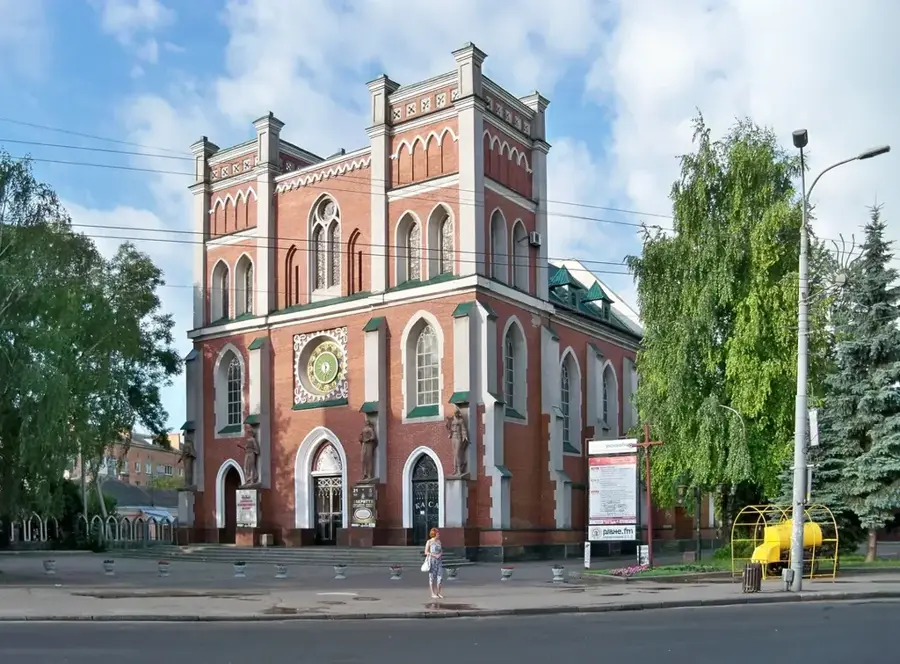
- Nearby: Vynnyky (18 km)
Best time to visit & climate
The most pleasant time to visit is Jun–Aug.
| Jan | Feb | Mar | Apr | May | Jun | Jul | Aug | Sep | Oct | Nov | Dec | |
|---|---|---|---|---|---|---|---|---|---|---|---|---|
| Avg °C | -5 | -3 | 2 | 9 | 14 | 18 | 20 | 19 | 14 | 8 | 3 | -2 |
| Rain mm | 47 | 45 | 53 | 51 | 95 | 101 | 96 | 70 | 66 | 57 | 47 | 48 |
📋 Practical info
Geography
Facts
- Highest elevation of the Podolian Upland at 471 meters.
- Located in the Holohory hill range near Lviv.
- Composed of Neogene limestone and sandstone formations.
- Part of the 'Nadiannia' National Nature Park since its creation.
- Covered by primeval beech forests of high ecological value.
- Acts as a prominent watershed point for the region.
Explore nearby
Notable places around
Route planner — Car & Motorhome
Where do you start? We build the route here, with stops and country notes along the way.
© OpenStreetMap contributors · OpenRouteService
Sights nearby
Frequently asked questions
Where is Kamula located?
How high is the mountain?
Is the area forested?
Is it a popular excursion destination?
Are there marked hiking trails?
Mount Kamula: where is it located?
Mount Kamula: when is the best time to visit?
Mount Kamula: why is it worth visiting?

Nearby cities