Plizio Visual Lab

Mount Blyznytsya

Plizio editorial teamData Sources
peak
—°2
Mount Blyznytsya (Ukraine)

Weather…

Mount Blyznytsya is the highest peak of the Svydovets massif in the Ukrainian Carpathians, reaching an elevation of 1,883 meters. The mountain actually consists of two twin peaks, Great and Little Blyznytsya, whose name derives from the Ukrainian word for 'twins.' This area is celebrated for its distinctive glacial relief, featuring deep cirques and alpine meadows known as polonynas. It is one of the few places in Ukraine where the rare Edelweiss flower grows naturally in the wild. The summit gives panoramic panoramic views of the neighboring Chornohora range and the Marmaros mountains. Located near the Drahobrat ski resort, Blyznytsya is a premier destination for high-altitude hiking in summer and backcountry skiing in winter.

Best time to visit & climate

The most pleasant time to visit is Jun–Aug.

JanFebMarAprMayJunJulAugSepOctNovDec
Avg °C-5-328131719191483-3
Rain mm565364571011061057071696060

📋 Practical info

🧭
Getting there
Mount Blyznytsya is best accessed from the Drahobrat ski resort, which can be reached from the village of Yasinia using off-road vehicles. From Drahobrat, well-marked hiking trails lead directly up to the Svydovets massif and toward its iconic twin summits.
📅
Best season
Hiking is good from June to September, when the alpine meadows are lush green and the paths are free of snow. In winter, Blyznytsya is a popular destination for skiers and freeriders, but such trips require specialized equipment and thorough knowledge of current avalanche risks.
⛰️
Terrain & paths
The terrain is typically high-alpine, featuring steep grassy slopes and stony paths along the ridges of the Svydovets massif. Ascending to the summit at over 1,880 meters requires good physical fitness but has firm ground and no extremely difficult climbing sections for hikers.
🎒
What to bring
Ankle-high hiking boots with lugged soles are essential for the steep trails, as is functional clothing suitable for volatile mountain weather. Bring trekking poles to ease the strain on your knees during the descent, along with high-energy snacks and plenty of water for the journey.
🅿️
Parking
Parking is available in Yasinia, where visitors typically arrange transfers to Drahobrat; driving your own car directly to Drahobrat is only advised if you have a 4x4. Many hotels in the resort offer guest parking, otherwise, use the public lots located near the valley transport stations.
⚠️
Safety
The weather on the Svydovets can change extremely rapidly, so be alert for fog and sudden drops in temperature, even in mid-summer. On the ridges, always maintain a safe distance from steep drops and check the wind forecast before heading out to ensure a safe high-altitude experience.
⏱️
Time needed
From Drahobrat, you should allocate approximately 4 to 6 hours for the hike to the summit and back, depending on your pace and frequency of breaks. For a complete traverse of the Svydovets massif starting from Blyznytsya, a multi-day trekking tour with overnight stays is required.

Geography

Coordinates
48.22080, 24.22390

Facts

  • Mount Blyznytsya reaches a maximum elevation of 1,883 meters.
  • The name 'Blyznytsya' literally means 'Twins' in Ukrainian.
  • It is a renowned location for finding the rare Edelweiss flower.
  • The mountain features glacial landforms, including deep cirques.
  • It belongs to the Svydovets range, known for its high-altitude lakes.
  • The Drahobrat ski resort nearby offers snow well into late spring.

Explore nearby

Notable places around

Route planner — Car & Motorhome

Where do you start? We build the route here, with stops and country notes along the way.

Vehicle
Only stops with (optional):

© OpenStreetMap contributors · OpenRouteService

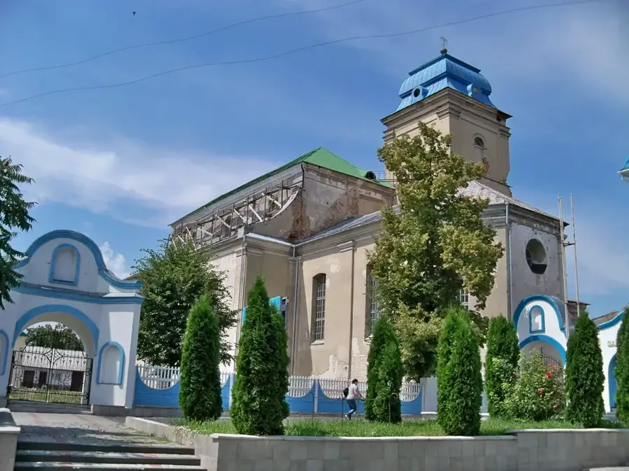
Sights in the town Mount Blyznytsya (2)

Zhandarm📍 landmark

A prominent peak in the Ukrainian Carpathians, part of the hiking area around Mount Blyznytsya.

Blyznytsia Velyka📍 landmark

The highest peak of the Svydovets massif in Ukraine, known for its extensive panoramic views.

Sights nearby

Frequently asked questions

What does the name Blyznytsya mean?
The name means 'twin', as the mountain has two peaks of almost equal height.
How high is the highest peak?
The highest elevation is at 1881 meters above sea level.
In which mountain range is the mountain located?
It is the highest point of the Svydovets massif in the Ukrainian Carpathians.
Can you ski there?
Yes, the nearby Drahobrat resort uses the slopes of Blyznytsya for winter sports.
What rare flower grows here?
Edelweiss grows on the steep rocky slopes of Blyznytsya.
Mount Blyznytsya: where is it located?
Mount Blyznytsya is located in Ukraine.
Mount Blyznytsya: what is there to see?
Highlights include Zhandarm, Blyznytsia Velyka.
Mount Blyznytsya: when is the best time to visit?
The most pleasant time to visit is Jun, Aug.
Mount Blyznytsya: why is it worth visiting?
Mount Blyznytsya is the highest peak of the Svydovets massif in the Ukrainian Carpathians, reaching an elevation of 1,883 meters.
View on map → The Top 50 Attractions → OpenStreetMap →
Europe
Explore with Plizio Discover more places in Europe
More places in Ukraine →

Nearby cities