Plizio Visual Lab
Desna River
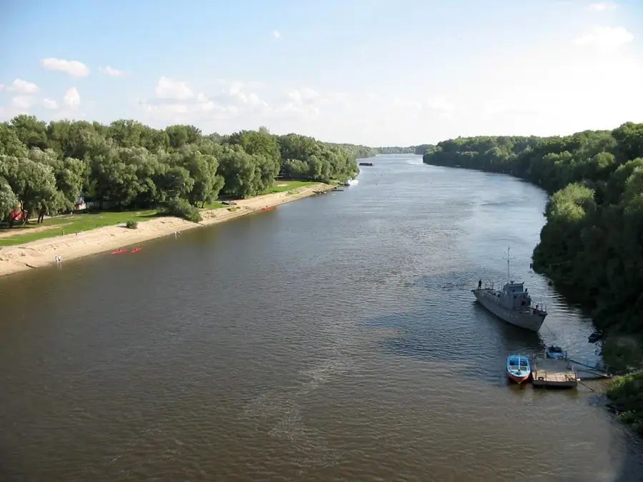
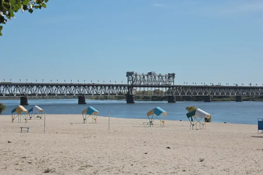
The Desna River is a major left tributary of the Dnieper, stretching for a total length of 1,130 kilometers, with 591 kilometers flowing through Ukrainian territory. Originating in the Smolensk Highlands of Russia, it merges with the Dnieper just north of Kyiv, draining a massive basin of approximately 88,900 square kilometers. The river is celebrated for its winding course, characterized by numerous oxbow lakes, sandy beaches, and vast floodplains that host a diverse array of wildlife. Historically, the Desna served as a crucial trade route connecting northern Slavic lands with the Black Sea region, leading to the establishment of ancient cities like Chernihiv along its banks. Unlike many other large rivers in the region, the Desna remains largely unregulated by dams, allowing for a natural hydrological cycle and preserving its status as a vital habitat for many fish species. The surrounding wetlands are critically important for migratory birds and contribute significantly to the ecological stability of northern Ukraine.
- Location: Ukraine
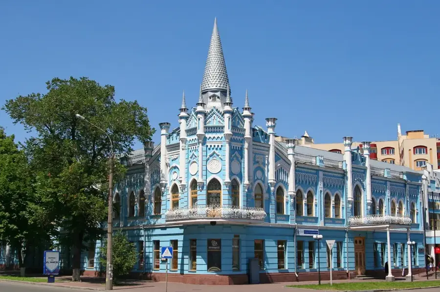
- Top sights: Obolon nude beach · Beach on Pryrichna · Troia nude beach
- Nearby: Vyshhorod (6 km)
Best time to visit & climate
The most pleasant time to visit is Jun–Aug.
| Jan | Feb | Mar | Apr | May | Jun | Jul | Aug | Sep | Oct | Nov | Dec | |
|---|---|---|---|---|---|---|---|---|---|---|---|---|
| Avg °C | -6 | -5 | 1 | 9 | 16 | 19 | 22 | 21 | 15 | 8 | 2 | -4 |
| Rain mm | 43 | 42 | 42 | 41 | 67 | 73 | 65 | 50 | 48 | 50 | 45 | 50 |
📋 Practical info
Geography
Facts
- Total river length spans 1,130 kilometers
- Confluence with the Dnieper occurs north of Kyiv
- Source is located in the Smolensk Heights of Russia
- Drainage basin covers 88,900 square kilometers
- Longest left-bank tributary within the Dnieper system
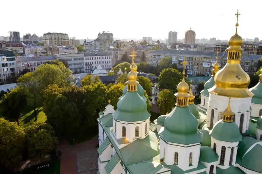
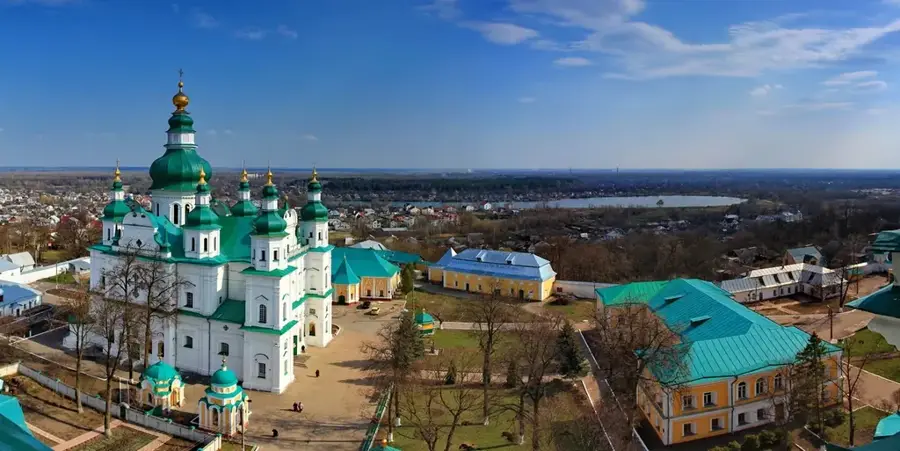
- Passes through the ancient city of Chernihiv
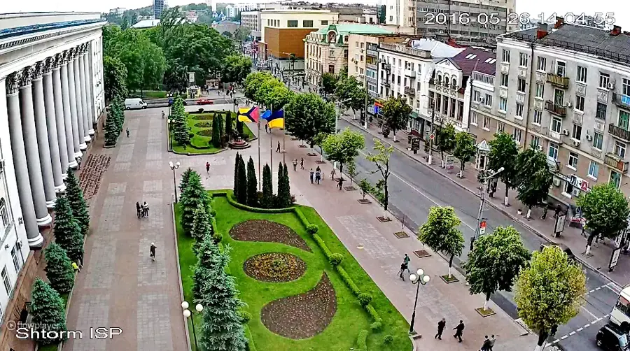
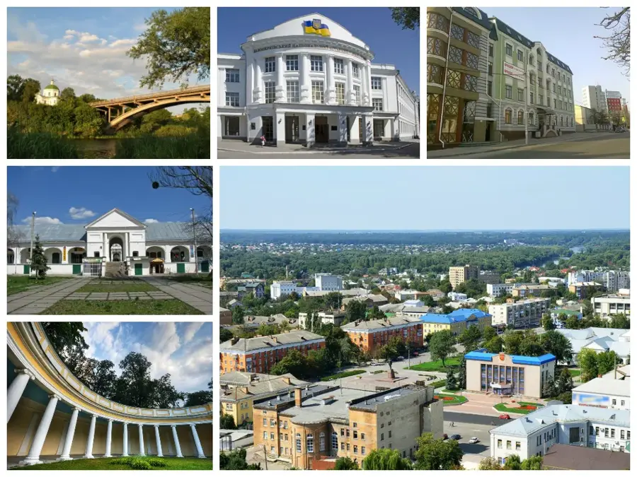
Explore nearby
Notable places around
Route planner — Car & Motorhome
Where do you start? We build the route here, with stops and country notes along the way.
© OpenStreetMap contributors · OpenRouteService
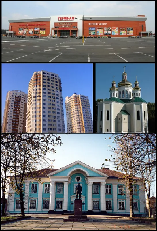
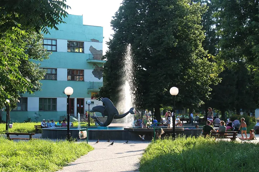
Sights in the town Desna River (3)
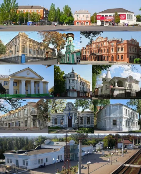
Sights nearby
Frequently asked questions
How long is the Desna in Ukraine?
Is the river navigable?
Where does the Desna flow into?
What activities are popular at the river?
Are there nature reserves along the Desna?
Desna River: where is it located?
Desna River: what is there to see?
Desna River: when is the best time to visit?
Desna River: why is it worth visiting?

Nearby cities