Plizio Visual Lab
Lugazi
ℹ️Practical info — Lugazi
▾
🌤 Weather — 5 days
📍 Nearby
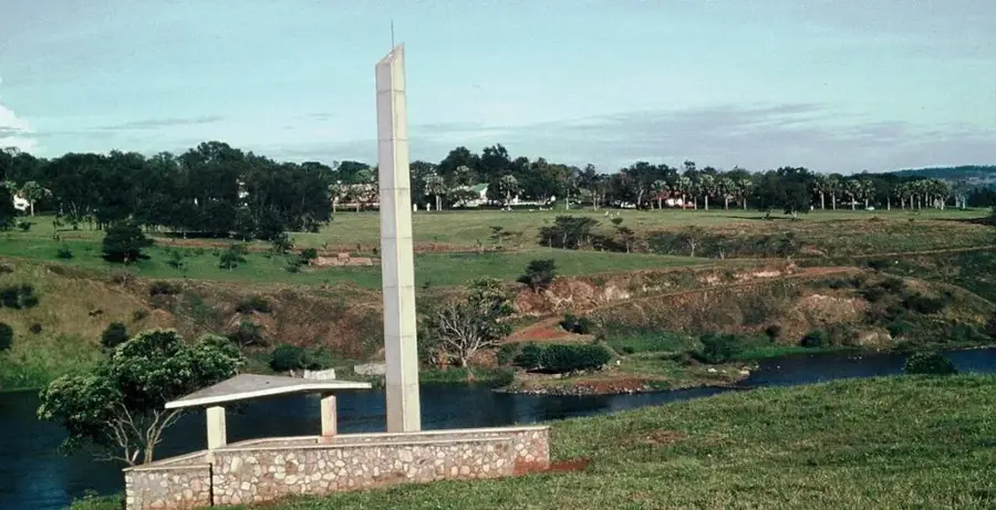
Sights nearby
💡 Tips
- Visit the Mabira Forest for guided nature walks and birdwatching; it's right on the doorstep of Lugazi.
- Try the famous roasted chicken from roadside vendors, a legendary snack for travelers passing through.
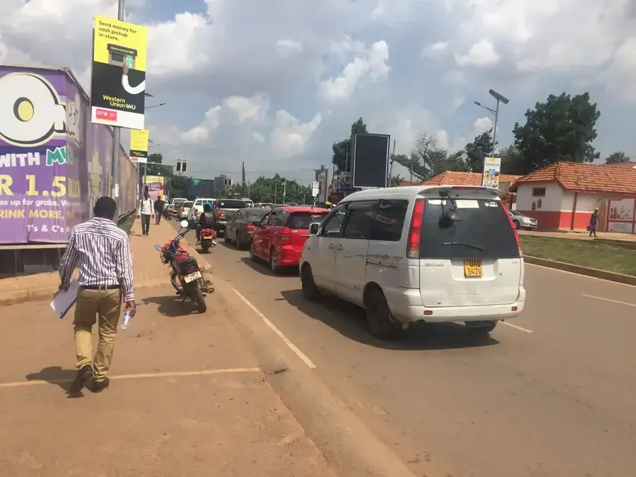
- Be very cautious on the main Jinja highway due to the high volume of heavy sugar and transit trucks.
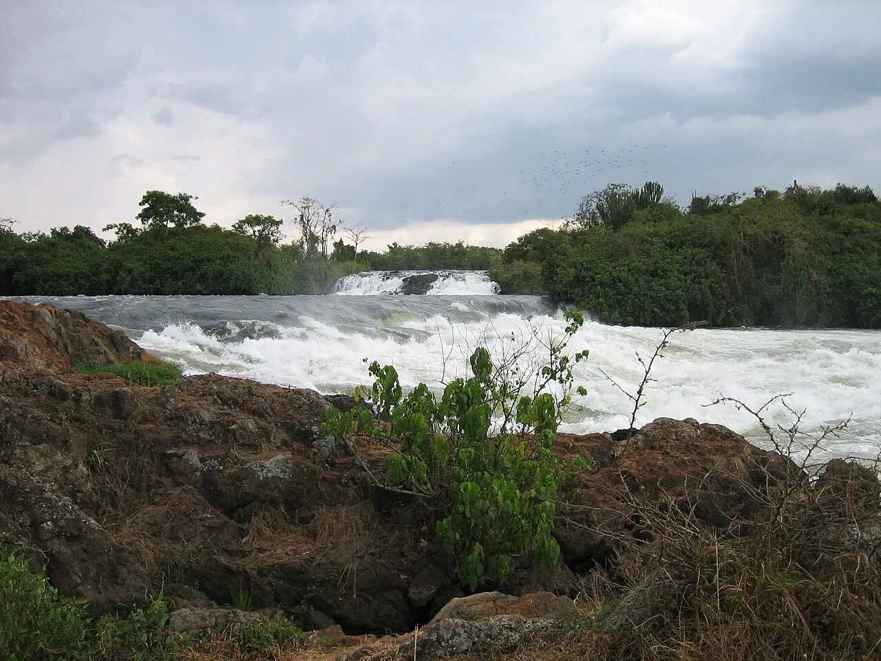
- Head to Griffin Falls within Mabira Forest for a serene getaway and some quiet time in nature.
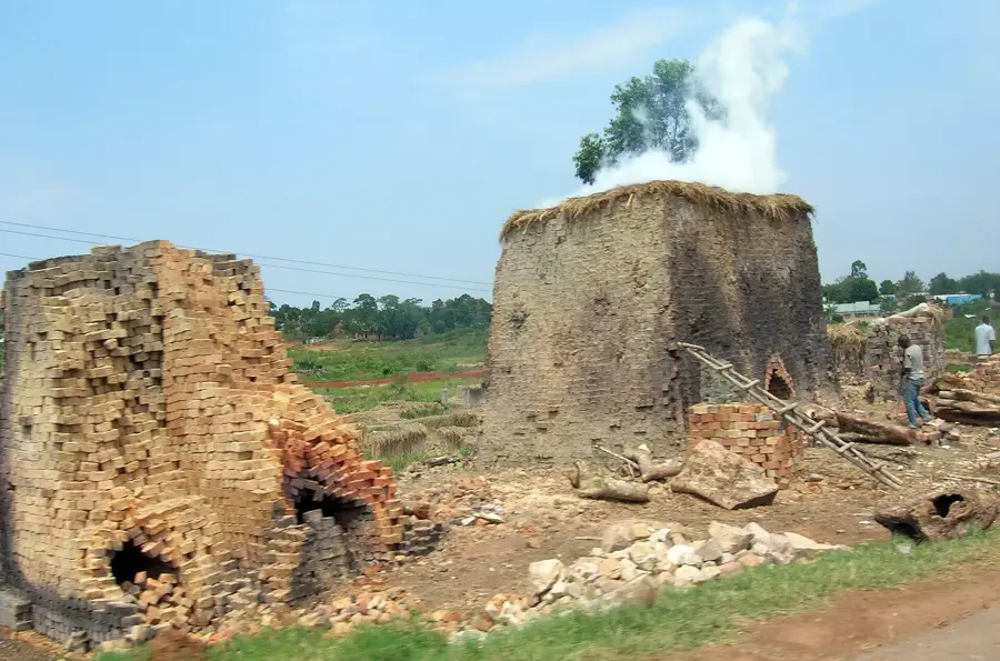
- Lugazi is dominated by sugar production; the vast sugarcane estates offer a unique landscape to explore.
🍽 Food
Famously seasoned and roasted chicken skewers, a staple for anyone stopping in Lugazi.
Being the heart of sugar production, you can find the freshest sugarcane to chew on here.
Grilled sweet plantains, often served alongside the roasted chicken at roadside stalls.
🛍 Shopping · 🧘 Quiet spots
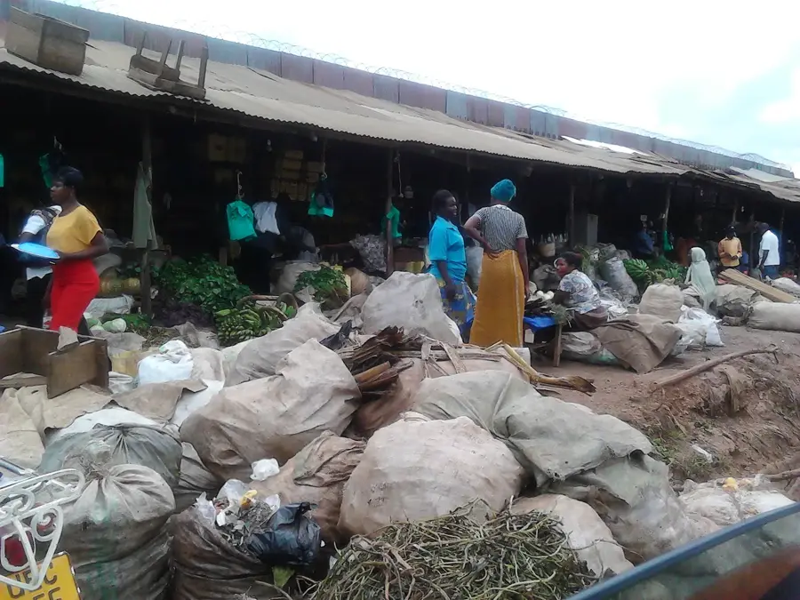
A compact but busy market for fresh seasonal fruits, vegetables, and staples.
The best place to buy quick refreshments and the famous local roasted snacks.
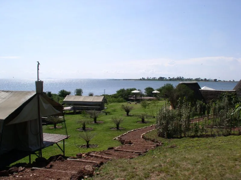
An under-the-radar destination within the Mabira Forest offering peace and a refreshing atmosphere.
Deep inside the forest, the trails provide a profound silence away from the highway noise.
Water temperature…
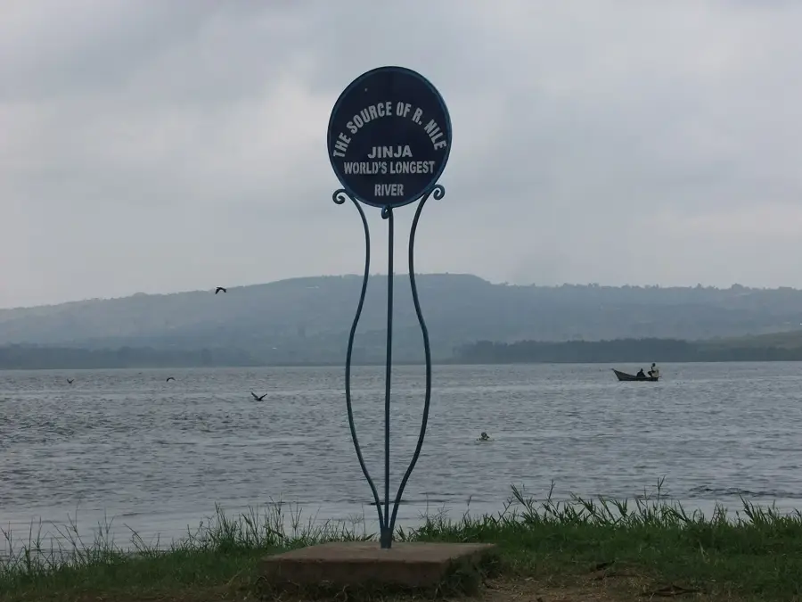
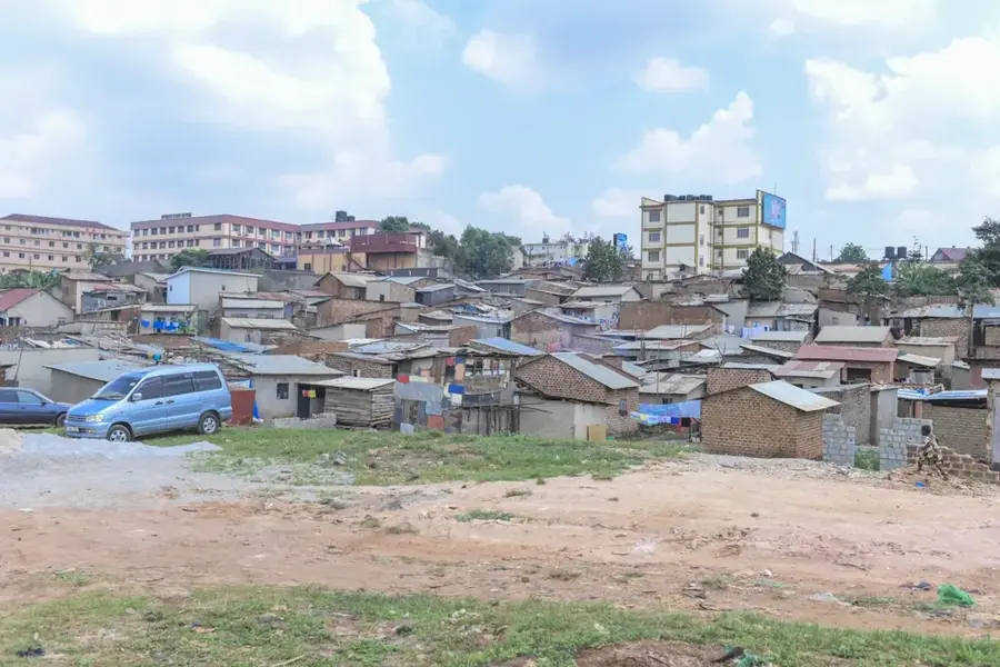
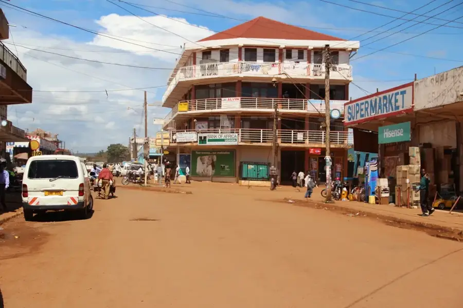
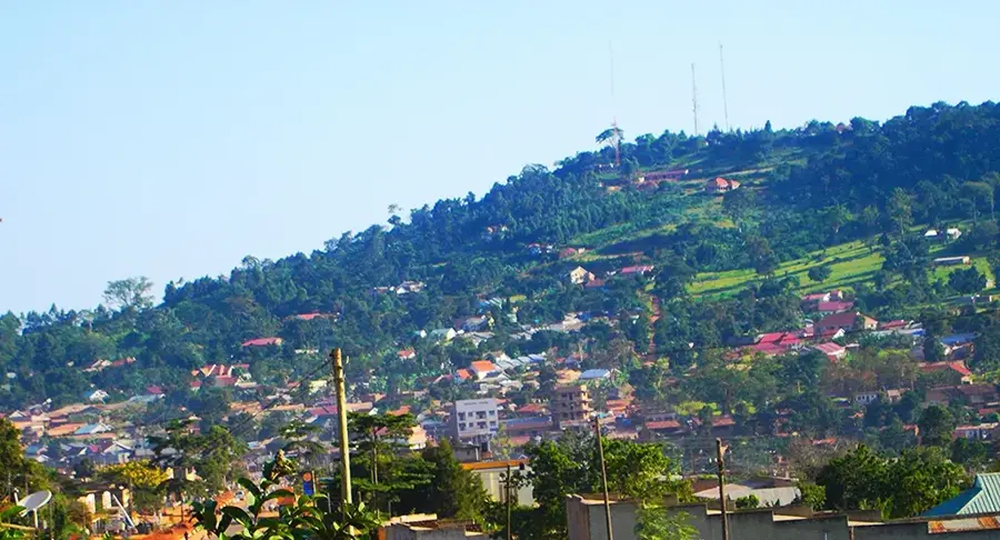
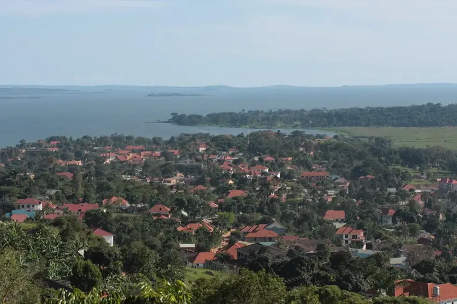
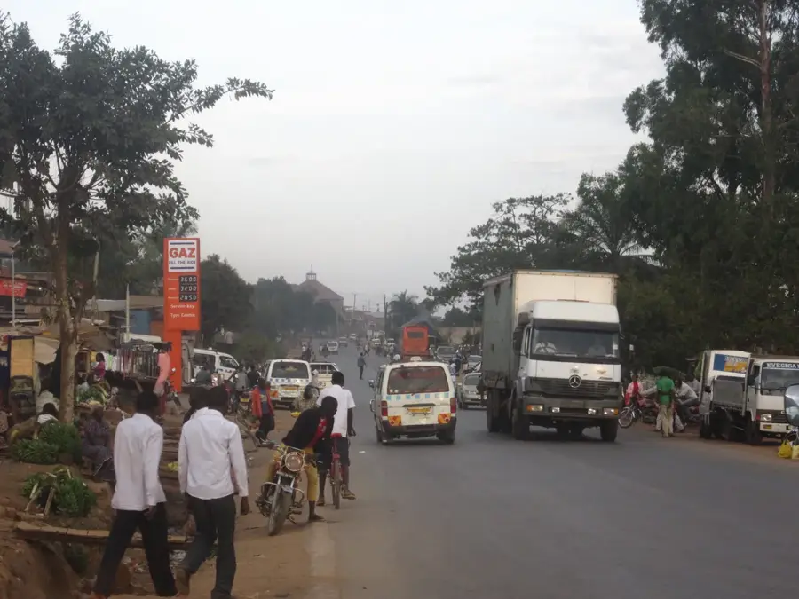
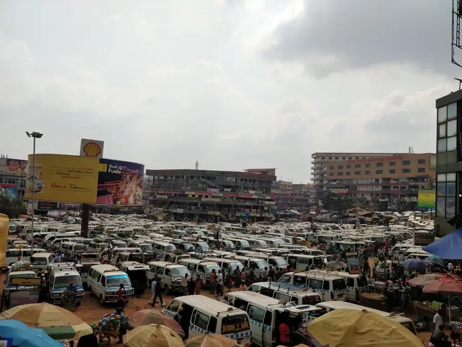
Lugazi is a prominent industrial municipality located in the Buikwe District of Central Uganda, situated approximately 45 kilometers east of the capital city, Kampala. The town's development is historically tied to the Mehta Group, which established the Sugar Corporation of Uganda Limited (SCOUL) here in 1924, marking it as a cornerstone of the nation's agricultural processing industry. Geographically, the town lies at an average elevation of 1,200 meters above sea level and is characterized by undulating hills and fertile soils that support extensive sugarcane and tea plantations. Beyond its industrial significance, Lugazi serves as a vital transit point along the primary highway connecting Kampala to the eastern border with Kenya. The municipality is also home to several educational institutions and the University of Military Science and Technology, contributing to its role as a regional administrative and learning hub. Modern Lugazi continues to expand as a residential and commercial center, benefiting from its strategic location between the capital and the industrial city of Jinja.
- Location: Uganda
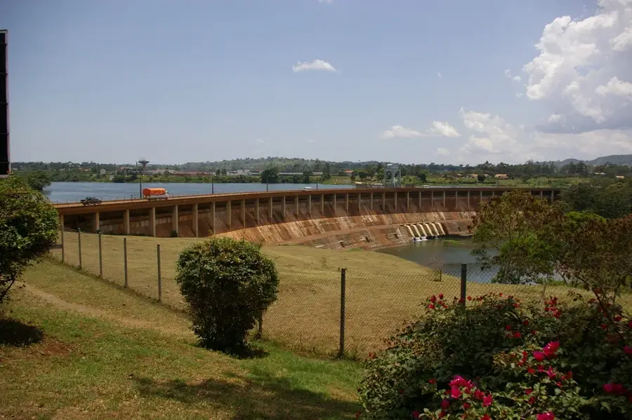
- Top sights: Sugar Corporation of Uganda Limited · Lugazi Thermal Power Station · Diocese of Lugazi
- Nearby: Mukono (21 km)
- Population: ~128.400 (2024)
Best time to visit & climate
The most pleasant time to visit is Jun–Aug.
| Jan | Feb | Mar | Apr | May | Jun | Jul | Aug | Sep | Oct | Nov | Dec | |
|---|---|---|---|---|---|---|---|---|---|---|---|---|
| Avg °C | 24 | 25 | 24 | 23 | 22 | 22 | 22 | 23 | 23 | 23 | 23 | 23 |
| Rain mm | 76 | 72 | 162 | 216 | 162 | 67 | 59 | 89 | 119 | 166 | 183 | 131 |
Geography
Facts
- Established as an industrial hub in 1924 with the sugar factory.
- Located at an average altitude of approximately 1,200 meters.
- Home to the Sugar Corporation of Uganda Limited (SCOUL).
- Situated on the main highway connecting Kampala and Jinja.
- Headquarters of the University of Military Science and Technology.
- Known for large-scale sugarcane and tea plantations in the vicinity.
Explore nearby
Notable places around
Route planner — Car & Motorhome
Where do you start? We build the route here, with stops and country notes along the way.
© OpenStreetMap contributors · OpenRouteService
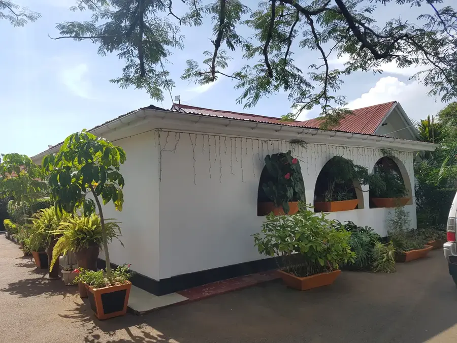
Sights in the town Lugazi (3)
Frequently asked questions
What is significant in Lugazi?
How long to stay?
Are there any sights?
When to visit?
Are there restaurants?
Lugazi: where is it located?
Lugazi: what is there to see?
Lugazi: when is the best time to visit?
Lugazi: why is it worth visiting?

Nearby cities


History & landmarks

More places