Plizio Visual Lab
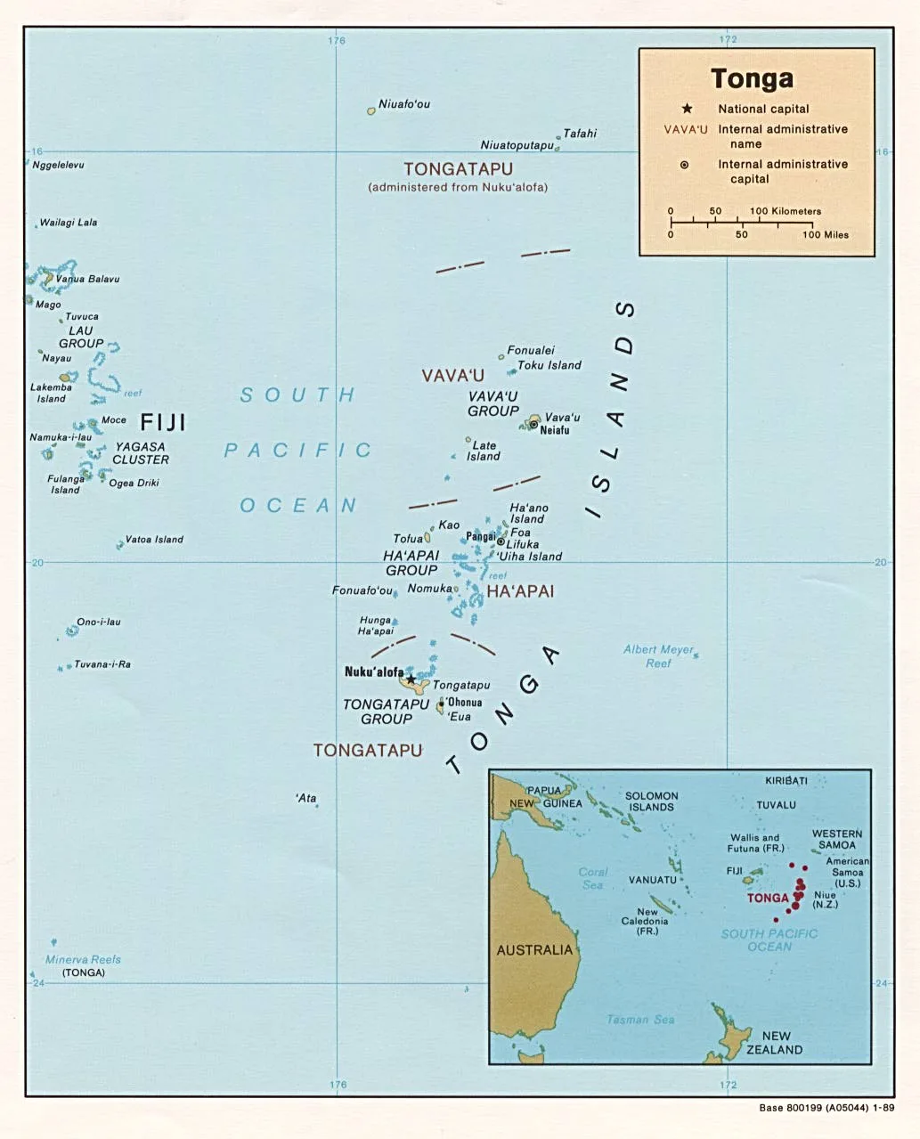
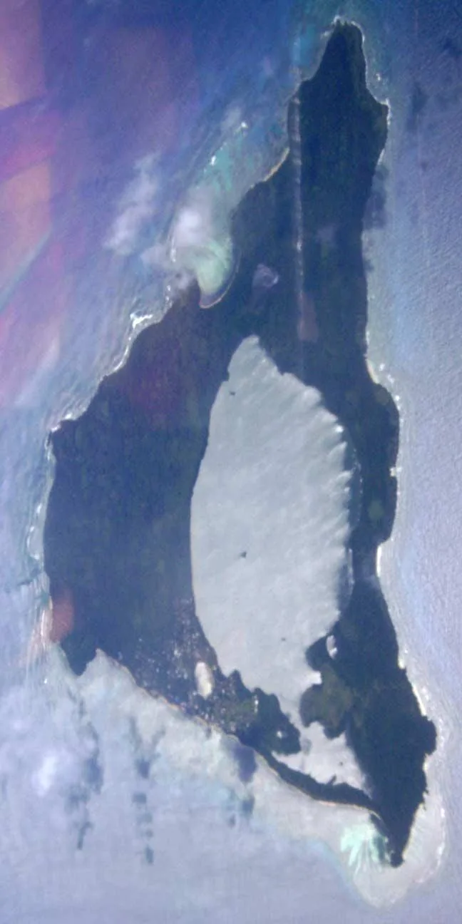
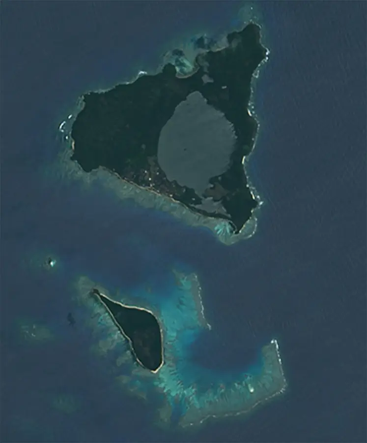
Kao Island
Weather…
Water temperature…
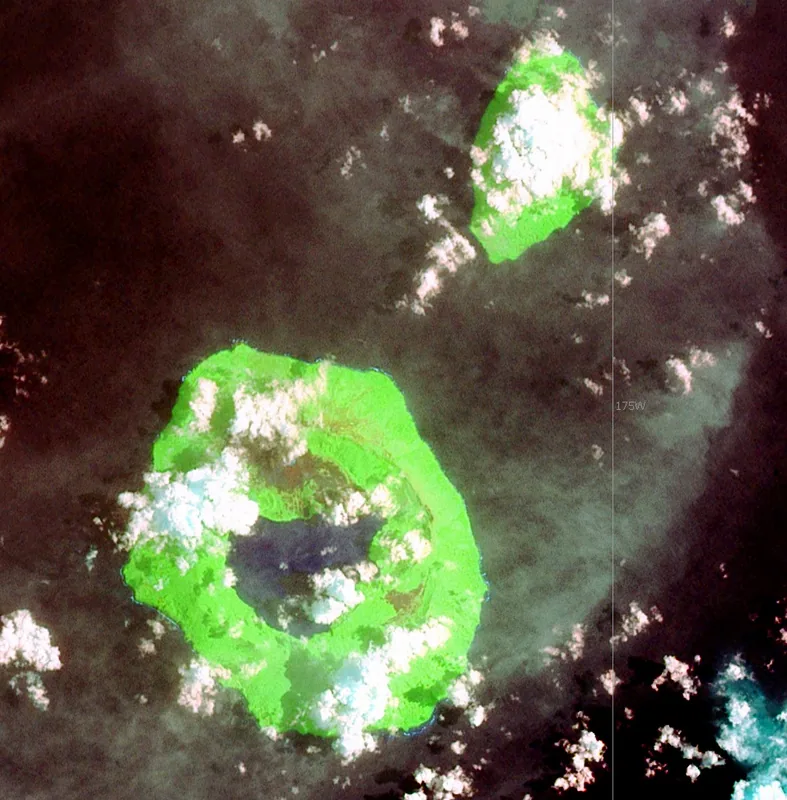
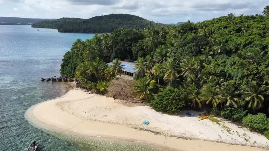
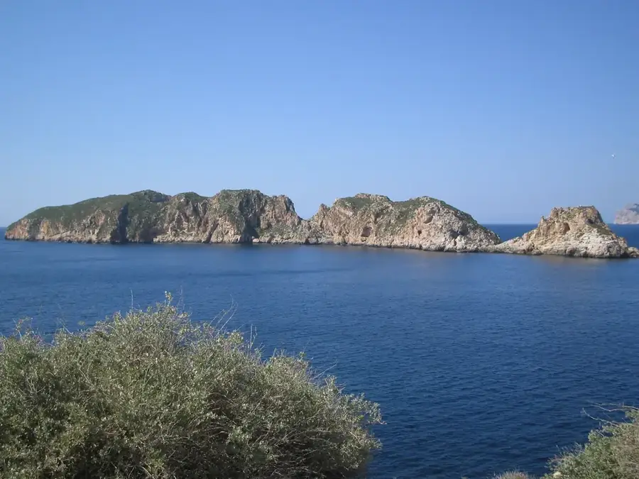
Kao Island is a symmetrical stratovolcano and, at 1,030 meters, represents the highest point in the Kingdom of Tonga. Its near-great conical silhouette rises sharply from the Pacific Ocean and is visible from great distances across the Ha'apai Group. Geologically, Kao is part of the Tofua Volcanic Arc and is primarily composed of basaltic and andesitic lavas. The island's slopes are draped in dense primary forests that transition into montane cloud forest at higher elevations, where rare bryophytes and ferns flourish. Due to the lack of permanent inhabitants and the extreme difficulty of the terrain, the island's ecological integrity remains largely pristine. Scientifically, Kao is a significant site for studying island biogeography and vertical plant zonation. Its isolation makes it a vital sanctuary for indigenous bird species that face pressure from invasive species on inhabited islands.
- Location: Tonga
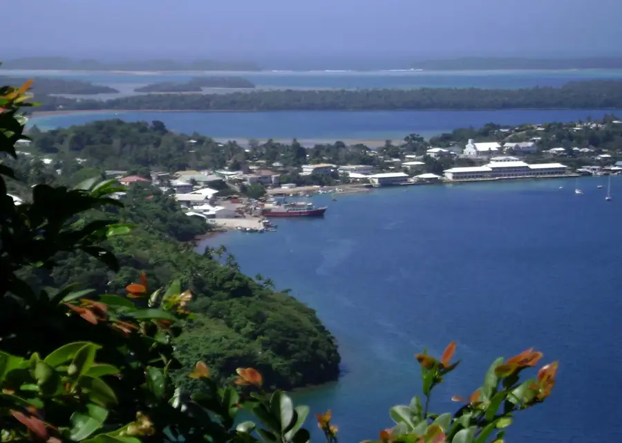
- Nearby: Koulo (75 km)
Best time to visit & climate
The most pleasant time to visit is Jul–Sep.
| Jan | Feb | Mar | Apr | May | Jun | Jul | Aug | Sep | Oct | Nov | Dec | |
|---|---|---|---|---|---|---|---|---|---|---|---|---|
| Avg °C | 27 | 27 | 27 | 27 | 26 | 25 | 24 | 24 | 24 | 25 | 25 | 26 |
| Rain mm | 216 | 203 | 191 | 174 | 112 | 111 | 59 | 69 | 79 | 104 | 115 | 144 |
📋 Practical info
Geography
Facts
- Kao measures approximately 5 kilometers in length and 3 kilometers in width.
- The volcano is classified as dormant, with no recorded historical eruptions.
- The gradient of the slopes exceeds 35 degrees in several sections, making it a challenging climb.
- Kao is located just 5 kilometers north of the volcanically active Tofua Island.
- Dense vegetation covers the summit, obscuring any distinct crater morphology.
- The island was first sighted and charted by Captain James Cook in 1774.
Explore nearby
Notable places around
Route planner — Car & Motorhome
Where do you start? We build the route here, with stops and country notes along the way.
© OpenStreetMap contributors · OpenRouteService
Sights nearby
Frequently asked questions
Can you climb Kao?
Are there paths to the top?
Do you need a local guide?
Is the volcano still active?
What is the best preparation?
Kao Island: where is it located?
Kao Island: when is the best time to visit?
Kao Island: why is it worth visiting?

Nearby cities


History & landmarks
Nature

More places