Plizio Visual Lab
Lateiki

Weather…
Water temperature…
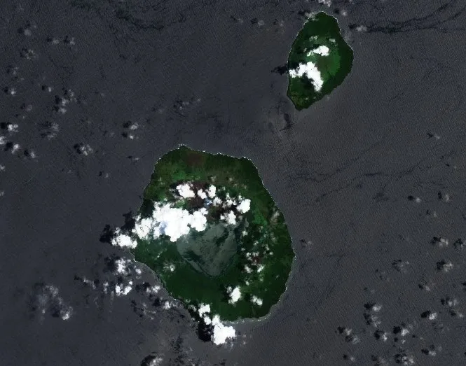
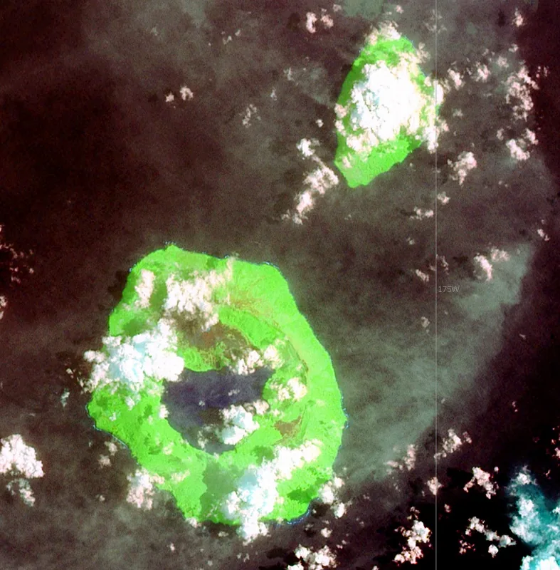
Lateiki, formerly known as Metis Shoal, is a volcanic elevation in the central part of the Tonga archipelago, located between the islands of Kao and Late. It is an extremely active submarine volcano that periodically forms islands, which often quickly sink back into the sea due to erosion. A significant eruption in 1995 created an island about 280 meters wide that persisted for several years. In 2019, another eruptive phase occurred, during which a new island was formed while the previous formation sank below sea level. Geologically, the material consists mainly of basaltic andesite, indicating the complex magmatic processes in the Tonga island arc. The constant change in topography makes Lateiki a fascinating research object for volcanologists worldwide. The volcano's location is an important indicator of seismic activity in this region of the Pacific.
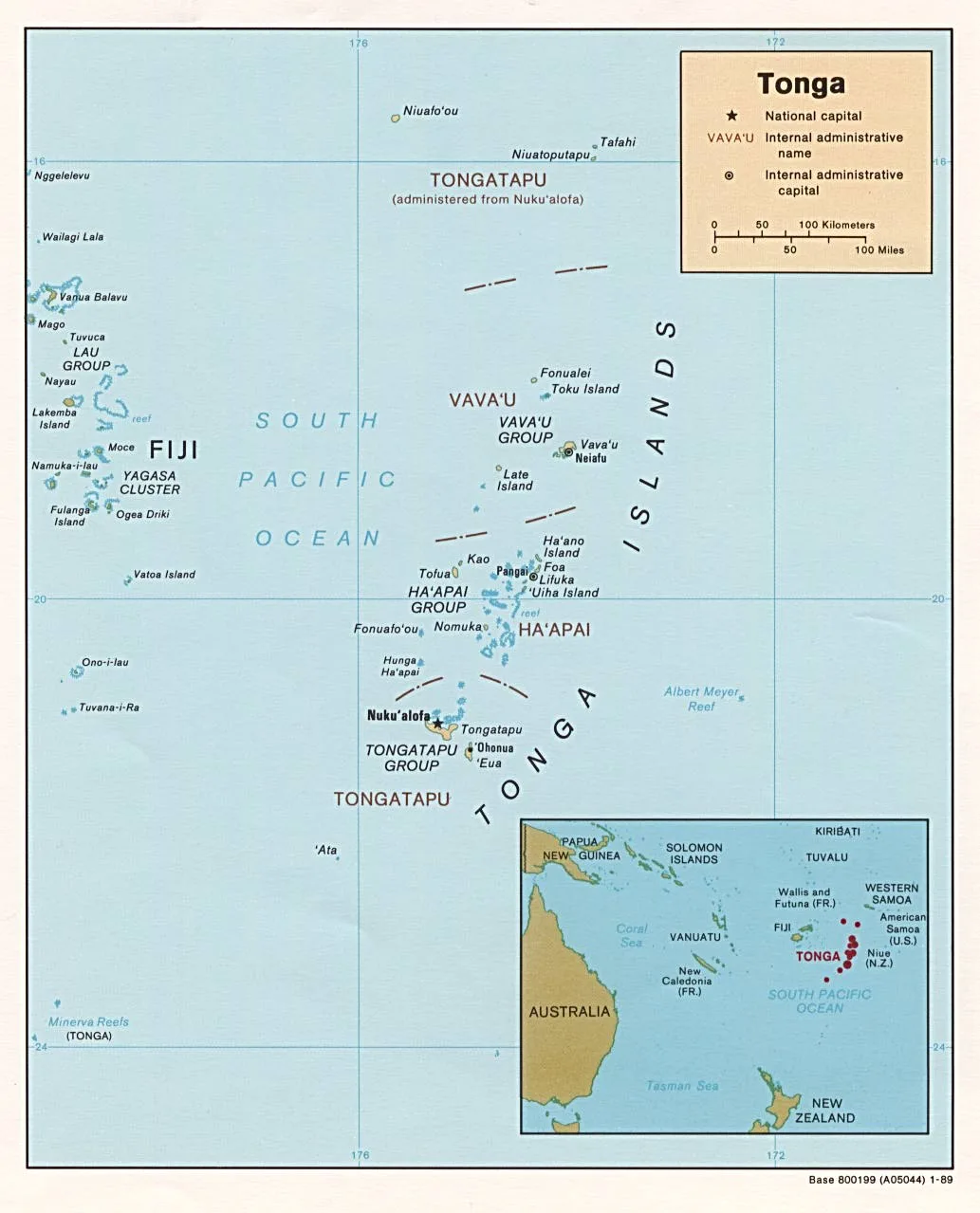
- Location: Tonga
- Nearby: Fangaleʻounga (83 km)
Best time to visit & climate
The most pleasant time to visit is Jul–Sep.
| Jan | Feb | Mar | Apr | May | Jun | Jul | Aug | Sep | Oct | Nov | Dec | |
|---|---|---|---|---|---|---|---|---|---|---|---|---|
| Avg °C | 27 | 28 | 28 | 27 | 26 | 25 | 24 | 24 | 24 | 25 | 26 | 27 |
| Rain mm | 220 | 196 | 189 | 178 | 109 | 113 | 58 | 65 | 77 | 109 | 120 | 151 |
📋 Practical info
Geography
Facts
- Lateiki was formerly known as Metis Shoal and is an active submarine volcano.
- In 1995, an eruption created a short-lived island.
- A subsequent eruption in October 2019 created a new landmass.
- The volcano is geographically located between the islands of Kao and Late.
- The eruptive material consists primarily of basaltic andesite.
- Island formations at this site were documented as early as the 19th century.
Explore nearby
Notable places around
Route planner — Car & Motorhome
Where do you start? We build the route here, with stops and country notes along the way.
© OpenStreetMap contributors · OpenRouteService
Sights in the town Lateiki (1)
Sights nearby
Frequently asked questions
Is Lateiki a stable island?
Can you visit Lateiki?
Why is the island so unstable?
Is there permanent vegetation there?
Is it marked on current maps?
Lateiki: where is it located?
Lateiki: when is the best time to visit?
Lateiki: why is it worth visiting?

Nearby cities


History & landmarks
Nature


More places