Plizio Visual Lab
Kao Island Forest

Weather…
Water temperature…
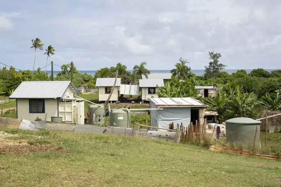
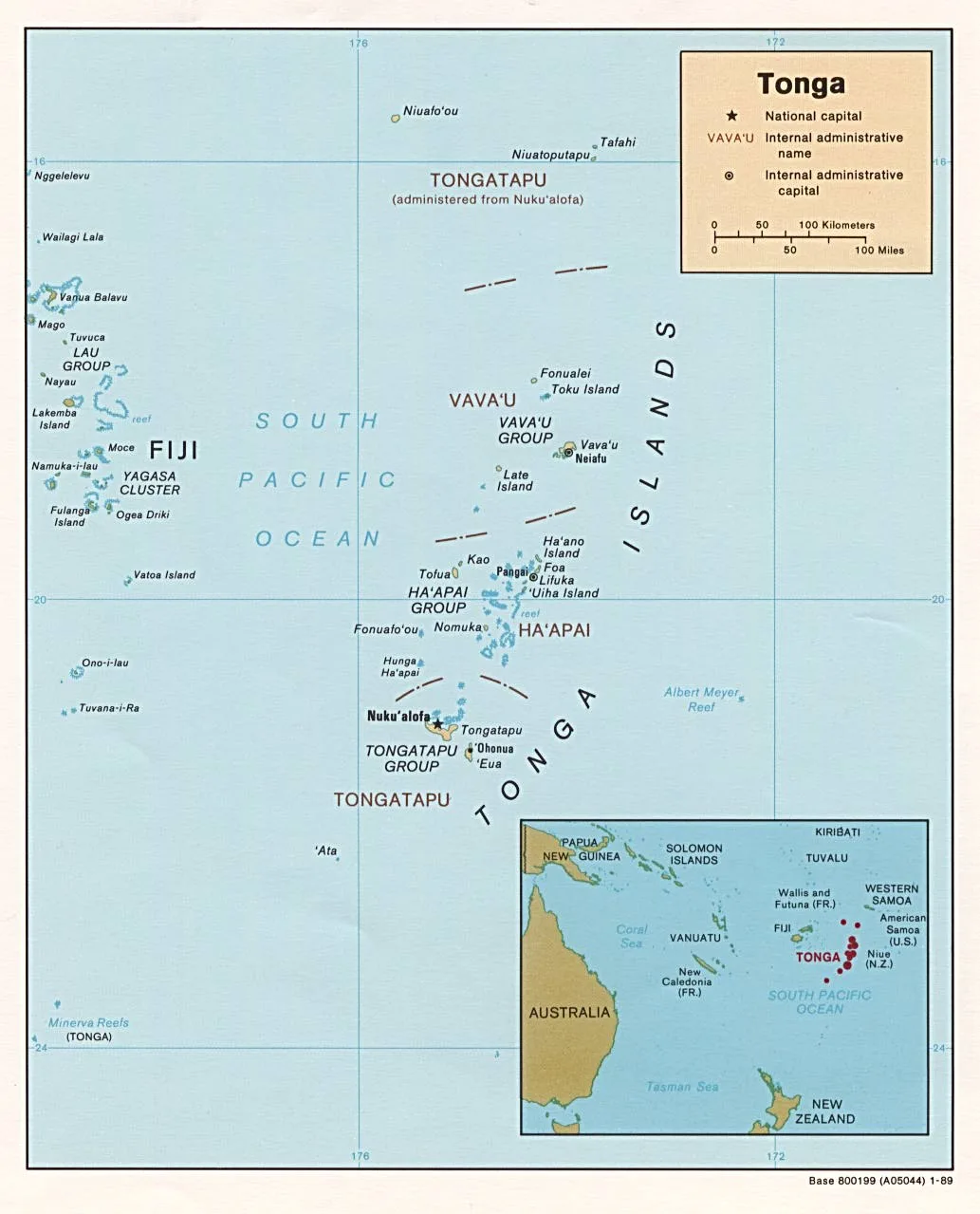
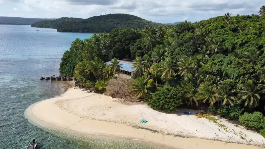
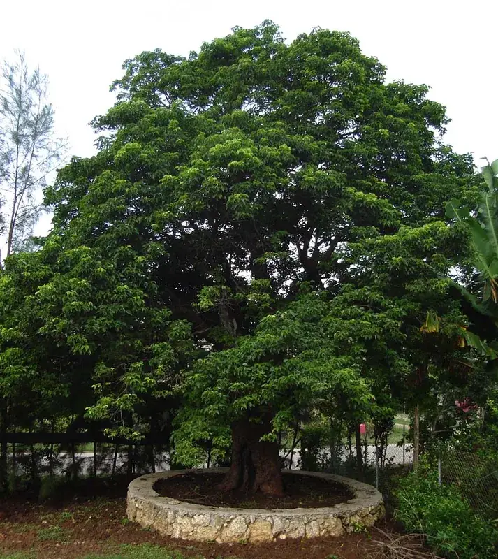
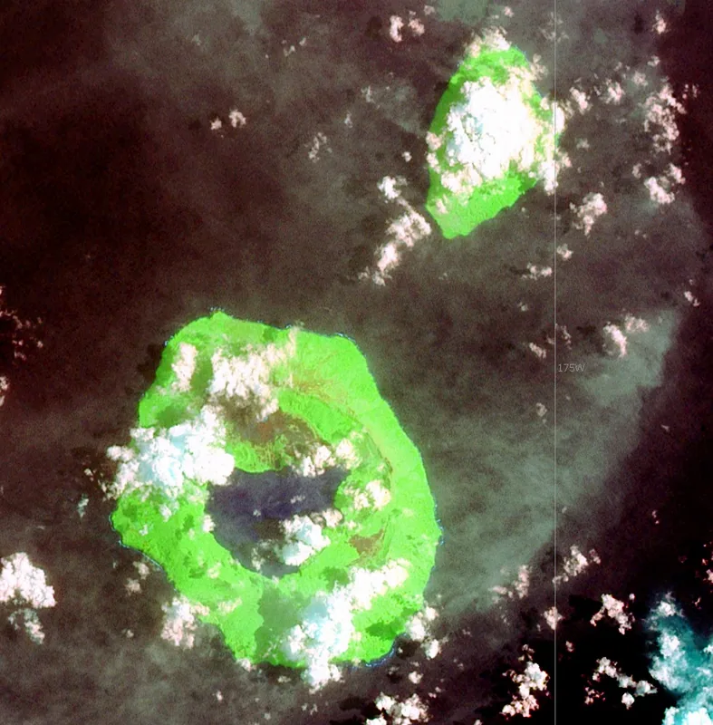
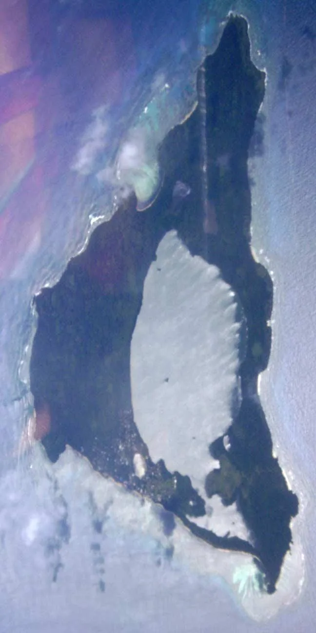
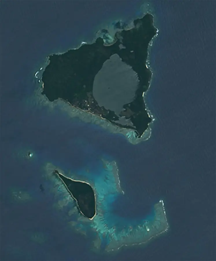
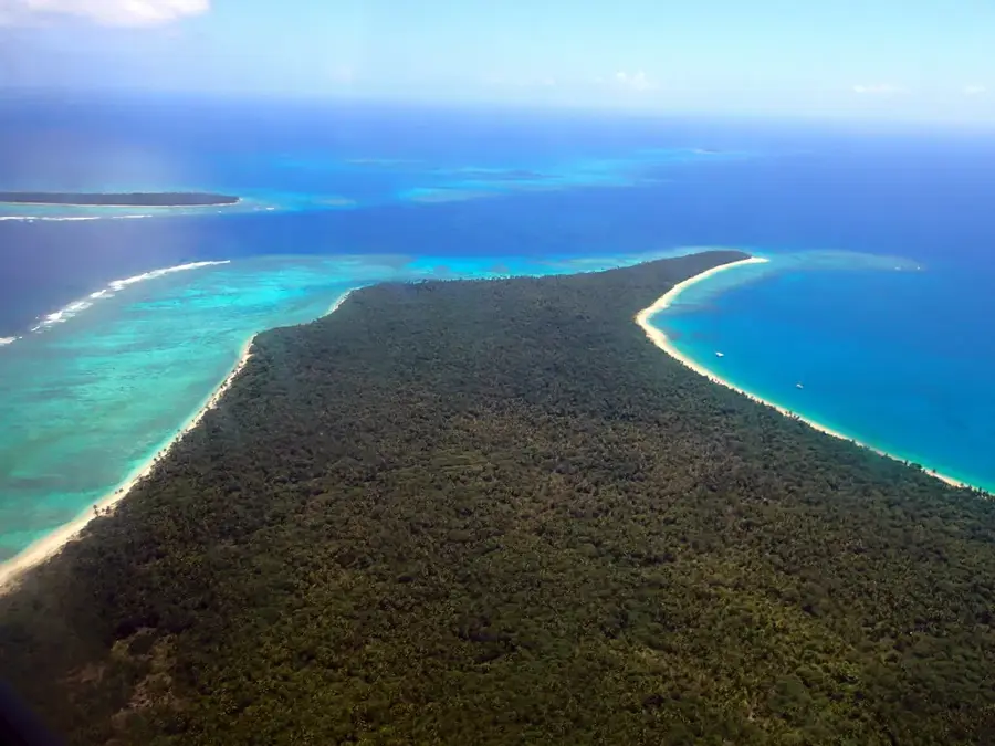
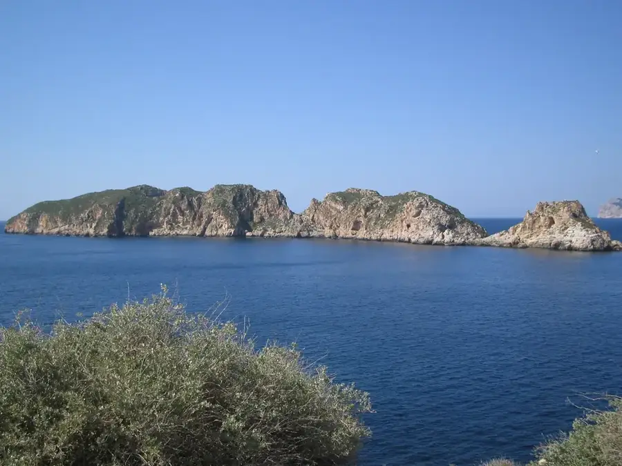
Kao Island is the highest point in the Kingdom of Tonga, rising as a prominent dormant stratovolcano to an elevation of 1,030 meters in the Ha'apai island group. Its nearly first-rate symmetrical cone is a striking feature of the regional geography, emerging steeply from the Pacific Ocean floor. The island's slopes are draped in dense, undisturbed tropical rainforests that serve as a vital refuge for a variety of endemic plant and bird species. Because the island is uninhabited and lacks any permanent human infrastructure, it has preserved a pristine ecosystem that is rare among the islands of Western Polynesia. Scientists value Kao for its geological integrity and its primary vegetation, which provides essential insights into the natural history of the Tongan archipelago. Climbing the peak is considered an extreme challenge due to the lack of established trails, the steepness of the terrain, and the sheer density of the high-altitude forest cover.
- Location: Tonga
- Nearby: Koulo (75 km)
Best time to visit & climate
The most pleasant time to visit is Jul–Sep.
| Jan | Feb | Mar | Apr | May | Jun | Jul | Aug | Sep | Oct | Nov | Dec | |
|---|---|---|---|---|---|---|---|---|---|---|---|---|
| Avg °C | 27 | 27 | 27 | 27 | 26 | 25 | 24 | 24 | 24 | 25 | 25 | 26 |
| Rain mm | 216 | 203 | 191 | 174 | 112 | 111 | 59 | 69 | 79 | 104 | 115 | 144 |
📋 Practical info
Geography
Facts
- Highest point in Tonga at 1,030 meters
- Part of the Tofua volcanic arc
- Completely uninhabited territory
- Draped in primary tropical rainforest
- Located in the northern Ha'apai group
- Symmetrical stratovolcano structure
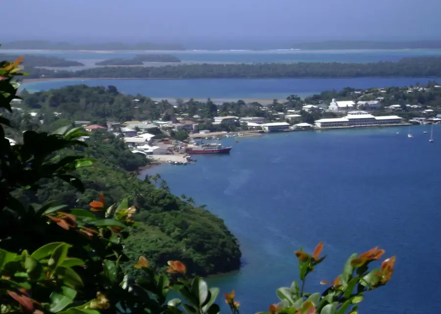
Explore nearby
Notable places around
Route planner — Car & Motorhome
Where do you start? We build the route here, with stops and country notes along the way.
© OpenStreetMap contributors · OpenRouteService
Sights in the town Kao Island Forest (1)
Sights nearby
Frequently asked questions
Is Kao the highest mountain in Tonga?
How difficult is the climb?
Are there marked hiking trails?
Is Kao developed for tourism?
Do I need a permit?
Kao Island Forest: where is it located?
Kao Island Forest: when is the best time to visit?
Kao Island Forest: why is it worth visiting?

Nearby cities
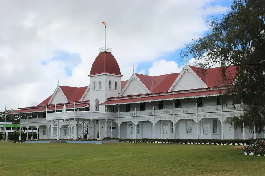


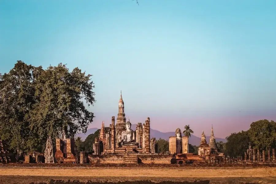
History & landmarks
Nature

More places