Plizio Visual Lab
Mount Torogbani

Weather…
Water temperature…
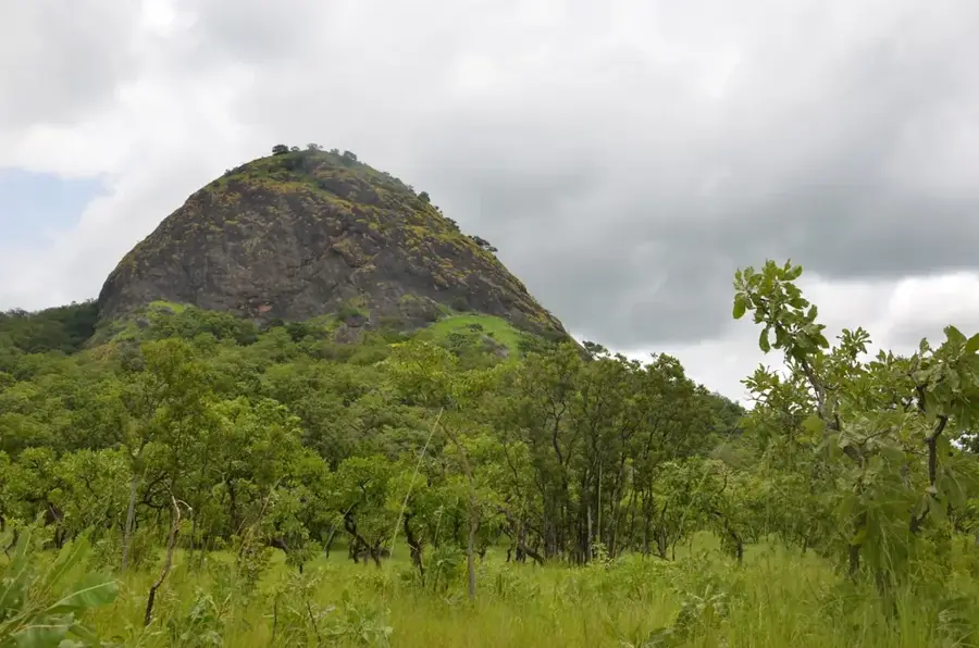
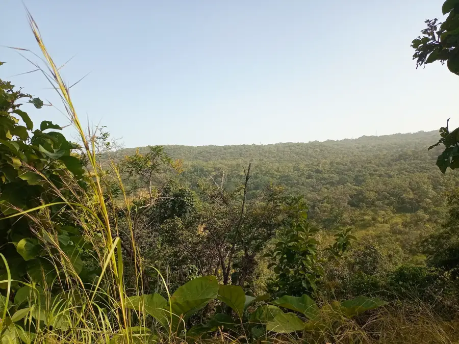
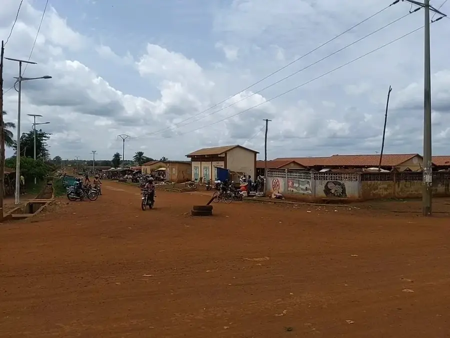
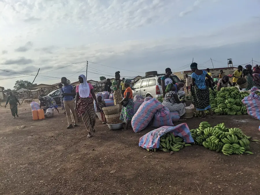
Mount Torogbani is a significant elevation in northern Togo, situated within the Kara Region near the border with Benin. Reaching an altitude of approximately 841 meters, it forms part of the larger Atakora mountain range, which stretches across several West African nations. The geological composition is primarily characterized by ancient quartzite and schist formations, reflecting millions of years of tectonic activity. The surrounding landscape is a mosaic of wooded savannah and rocky outcrops, providing a habitat for diverse avian species. Historically, the area served as a natural barrier and a source of seasonal water for local communities such as the Tem and Lamba people. Today, the mountain remains a prominent landmark for regional navigation and small-scale agricultural activities on its lower slopes. Its relative isolation has preserved much of the original vegetation, making it an area of interest for botanical research in the Sudano-Guinean zone.
- Location: Togo
- Nearby: Blitta (32 km)
Best time to visit & climate
The most pleasant time to visit is Jan, Nov, Dec.
| Jan | Feb | Mar | Apr | May | Jun | Jul | Aug | Sep | Oct | Nov | Dec | |
|---|---|---|---|---|---|---|---|---|---|---|---|---|
| Avg °C | 25 | 27 | 28 | 27 | 26 | 25 | 24 | 24 | 25 | 25 | 26 | 25 |
| Rain mm | 11 | 15 | 53 | 112 | 142 | 183 | 240 | 225 | 246 | 142 | 15 | 4 |
📋 Practical info
Geography
Facts
- The official peak elevation is approximately 841 meters above sea level.
- The mountain belongs geologically to the Precambrian Atakora belt.
- It is located in the Assoli Prefecture within the Kara Region.
- Annual rainfall in the area reaches up to 1200 mm during the wet season.
- The vegetation consists primarily of Sudano-Guinean wooded savannah.
- The rock composition is mainly made of metamorphic quartzite.
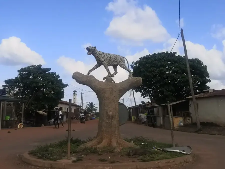
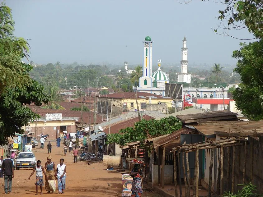
Explore nearby
Notable places around
Route planner — Car & Motorhome
Where do you start? We build the route here, with stops and country notes along the way.
© OpenStreetMap contributors · OpenRouteService
Sights nearby
Frequently asked questions
How is the view from Mount Torogbani?
Is the trail difficult?
When should you start?
Are there water sources?
Is the mountain suitable for camping?
Mount Torogbani: where is it located?
Mount Torogbani: when is the best time to visit?
Mount Torogbani: why is it worth visiting?

Nearby cities


History & landmarks
Nature
More places