Plizio Visual Lab
Sotouboua
ℹ️Practical info — Sotouboua
▾
🌤 Weather — 5 days
📍 Nearby
Sights nearby
💡 Tips
- Visit the teak plantations to see the 'green gold' that drives the local economy.
- The city is a major transit hub; expect many trucks and a lively atmosphere along the RN1.
- Plan your journey carefully if driving; the toll booth area can be quite congested.
- Explore the outskirts to see the successful organic soybean farms.
🍽 Food
Try the various ways locals prepare yams, from boiled to fried slices.
Since it's a major export hub, look for local soy-based snacks in the market.
Cornmeal porridge served with a nutritious spinach-based stew.
🛍 Shopping · 🧘 Quiet spots
Great for buying yams and soy products directly from the farmers.
Sometimes local artisans sell small items made from the abundant teak wood.
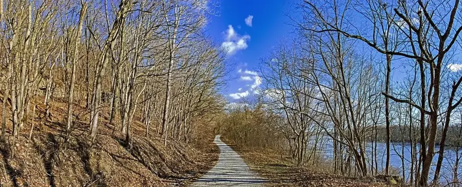
The vast plantations offer long, shaded paths for a tranquil walk.
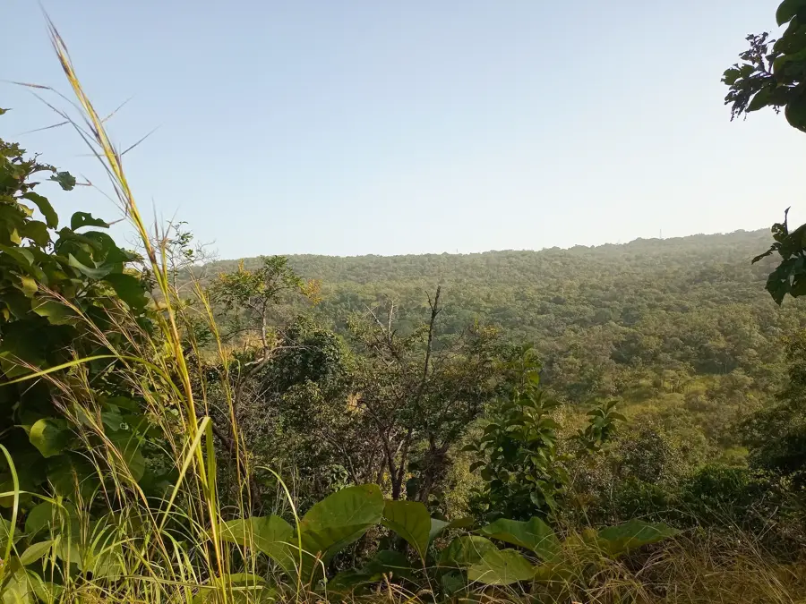
Walk away from the main road into the savanna for a sense of central Togo's vastness.
Water temperature…
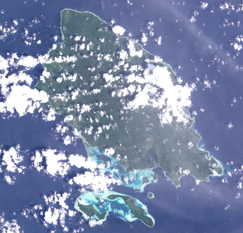
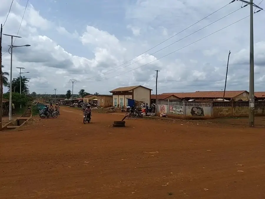
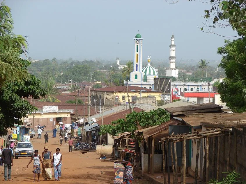
Sotouboua lies in the Centrale Region, about 250 kilometres north of Lomé along the country's main north-south corridor. Geographically the town sits almost exactly at the geographic centre of Togo and is therefore known as 'the city of the middle'. With around 30,000 inhabitants, Sotouboua is an important administrative and commercial centre where various ethnic groups - Tem, Bassar and Mossi - intermingle. Its economy is based on agriculture: the fertile surrounding plains produce mainly maize, rice, yams, cassava and cotton, which are transported elsewhere in the country for processing. Sotouboua features a well-regarded Catholic hospital and a cluster of schools that attract pupils from across the prefecture. Architecturally, the mix of traditional mud-brick dwellings and modern administrative buildings along the main road is striking. The wider region is also known for its lively traditional dance festivals.
- Location: Togo
- Nearby: Blitta (29 km)
- Population: ~24.332 (2024)
Best time to visit & climate
The most pleasant time to visit is Jan, Nov, Dec.
| Jan | Feb | Mar | Apr | May | Jun | Jul | Aug | Sep | Oct | Nov | Dec | |
|---|---|---|---|---|---|---|---|---|---|---|---|---|
| Avg °C | 25 | 27 | 28 | 28 | 27 | 26 | 25 | 25 | 25 | 25 | 26 | 25 |
| Rain mm | 12 | 16 | 50 | 108 | 141 | 178 | 239 | 225 | 252 | 143 | 14 | 4 |
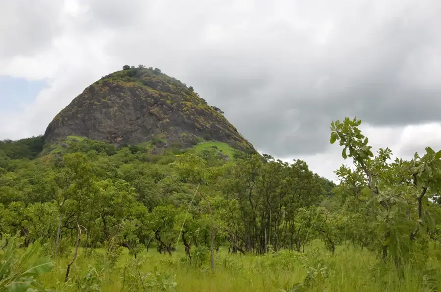
Geography
Facts
- Sotouboua is geographically considered the center of Togo.
- The town is situated on the N1 highway between Atakpamé and Sokodé.
- It serves as the administrative capital of the Sotouboua Prefecture.
- The Fazao-Malfakassa National Park is located to the west of the town.
- The region is a significant area for cotton cultivation.
- The town hosts a major station for long-distance freight transport.
Explore nearby
Notable places around
Route planner — Car & Motorhome
Where do you start? We build the route here, with stops and country notes along the way.
© OpenStreetMap contributors · OpenRouteService
Sights in the town Sotouboua (1)
Frequently asked questions
How much time is needed for Sotouboua?
When should I visit Sotouboua?
How to reach Sotouboua?
What local food is available there?
Is Sotouboua suitable for children?
Sotouboua: where is it located?
Sotouboua: when is the best time to visit?
Sotouboua: why is it worth visiting?

Nearby cities

History & landmarks
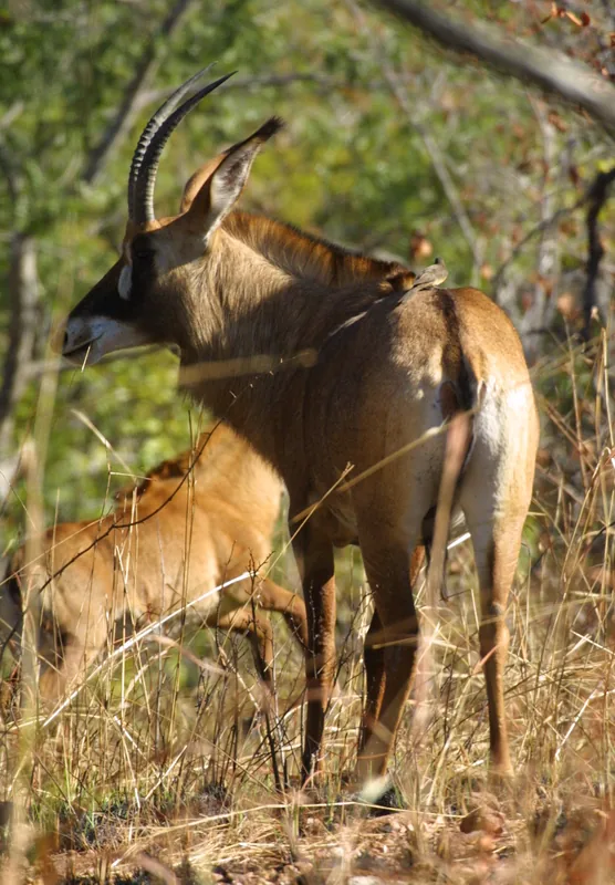
Nature
More places