Plizio Visual Lab
Irabere River
Weather…
Water temperature…
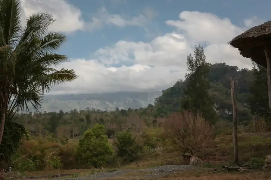
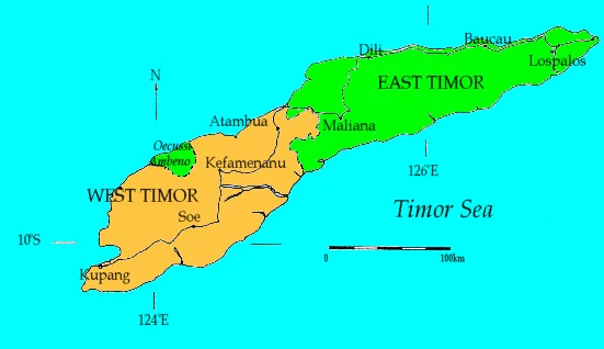
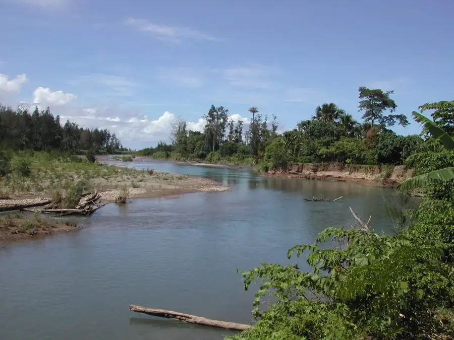
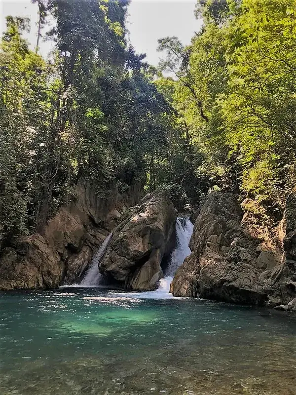
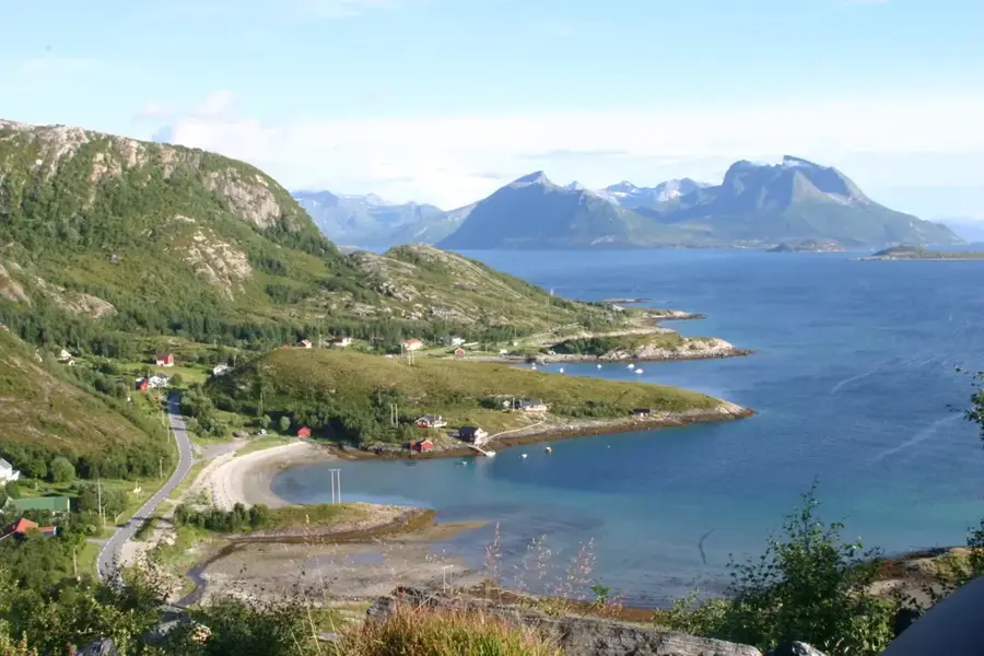
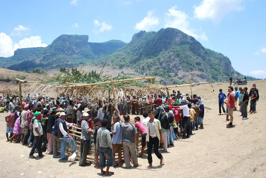
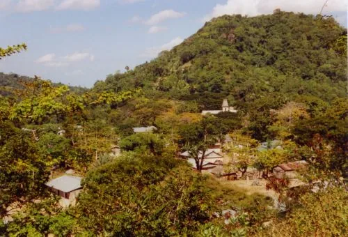
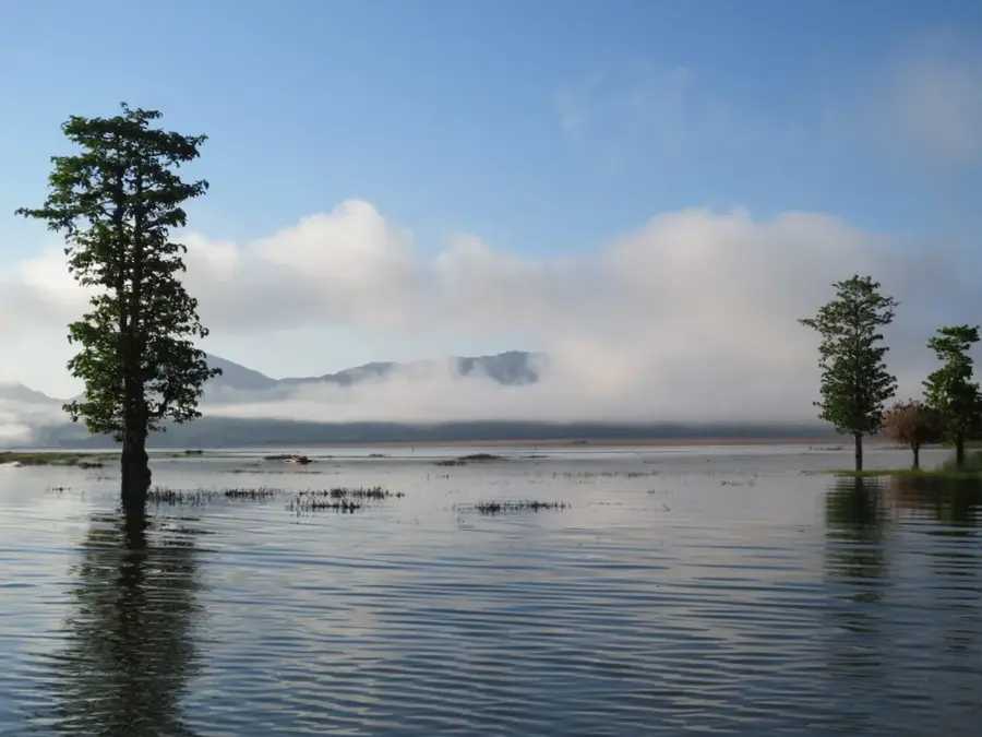
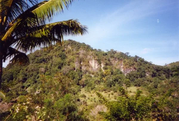
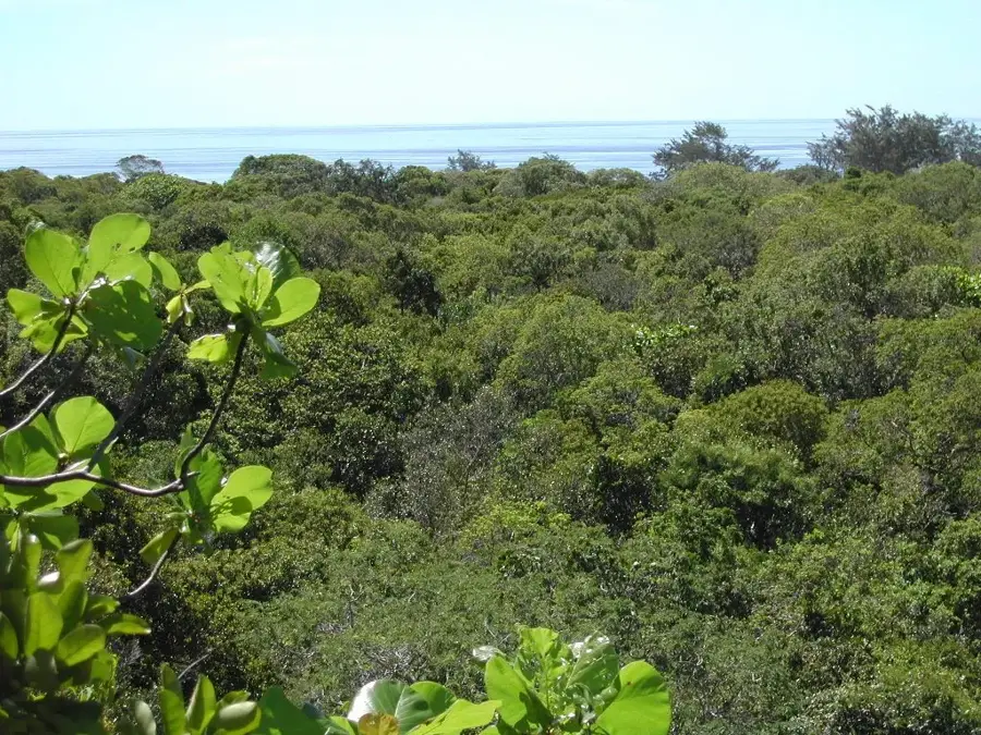
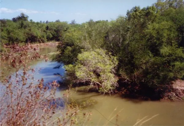
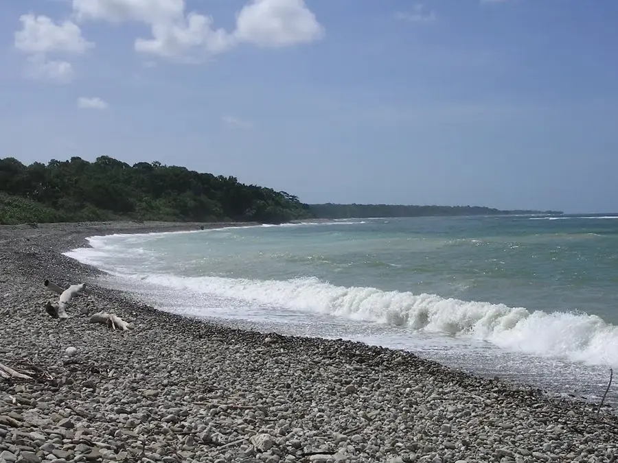
The Irabere River forms the natural boundary between the Viqueque and Lautém municipalities in southeastern Timor-Leste. This pristine river system is of outstanding ecological importance and has been designated as an Important Bird Area (IBA) by BirdLife International. The region around the river mouth is characterized by extensive mangrove swamps and undisturbed tropical lowland forests, which provide shelter for a vast array of endemic species. The Irabere is particularly famous for its population of saltwater crocodiles that inhabit the brackish waters of its lower reaches. Ornithologically, the area is world-renowned as a nesting site for rare birds such as the Timor sparrow and the Timor fruit dove. The river's relative isolation has helped preserve much of its original vegetation, making it a critical reference site for researching Wallacean flora and fauna. For the local communities, the river is not only a water source but also a spiritual site, featured in numerous legends regarding the creation of Timor island.
- Location: Timor-Leste
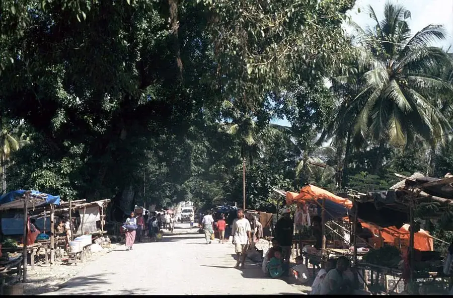
- Nearby: Uatucarbau (5 km)
Best time to visit & climate
The most pleasant time to visit is Jul–Sep.
| Jan | Feb | Mar | Apr | May | Jun | Jul | Aug | Sep | Oct | Nov | Dec | |
|---|---|---|---|---|---|---|---|---|---|---|---|---|
| Avg °C | 28 | 28 | 28 | 27 | 27 | 26 | 25 | 25 | 26 | 27 | 29 | 29 |
| Rain mm | 204 | 174 | 117 | 60 | 48 | 29 | 14 | 5 | 6 | 11 | 52 | 153 |
📋 Practical info
Geography
Facts
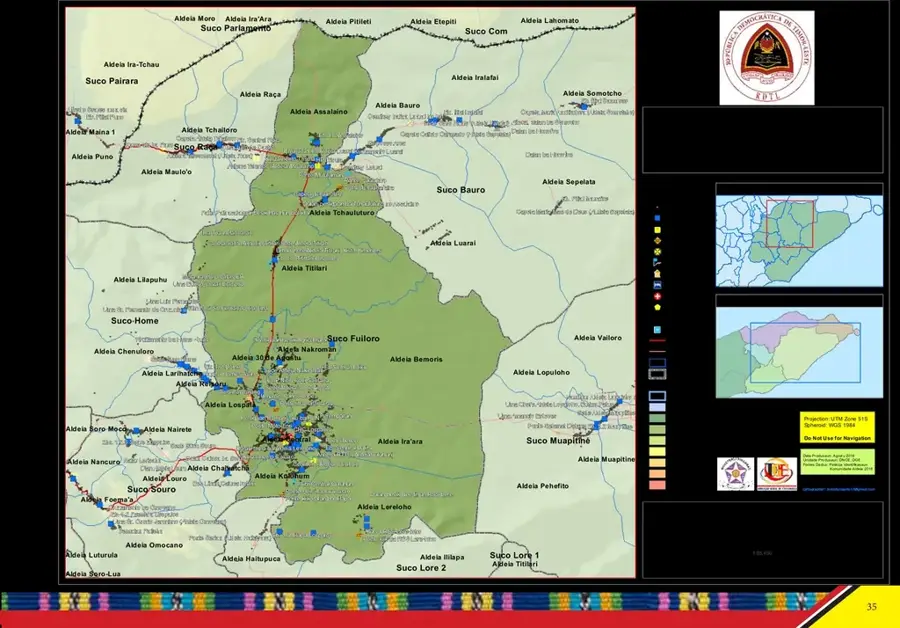
- Boundary between Viqueque and Lautém
- Designated as Important Bird Area TL10
- Known for its saltwater crocodile population
- Habitat for the rare Timor sparrow
- Features undisturbed tropical lowland forests
- Discharges into the Timor Sea in the southeast
Explore nearby
Notable places around
Route planner — Car & Motorhome
Where do you start? We build the route here, with stops and country notes along the way.
© OpenStreetMap contributors · OpenRouteService
Sights in the town Irabere River (1)
Sights nearby
Frequently asked questions
Is the Irabere river suitable for kayaking?
Are there dangerous animals in the river?
How to reach the river banks?
Is the water drinkable?
Are there camping options on the shore?
Irabere River: where is it located?
Irabere River: when is the best time to visit?
Irabere River: why is it worth visiting?

Nearby cities

History & landmarks

Nature

More places