Plizio Visual Lab
Seiçal River
Weather…
Water temperature…
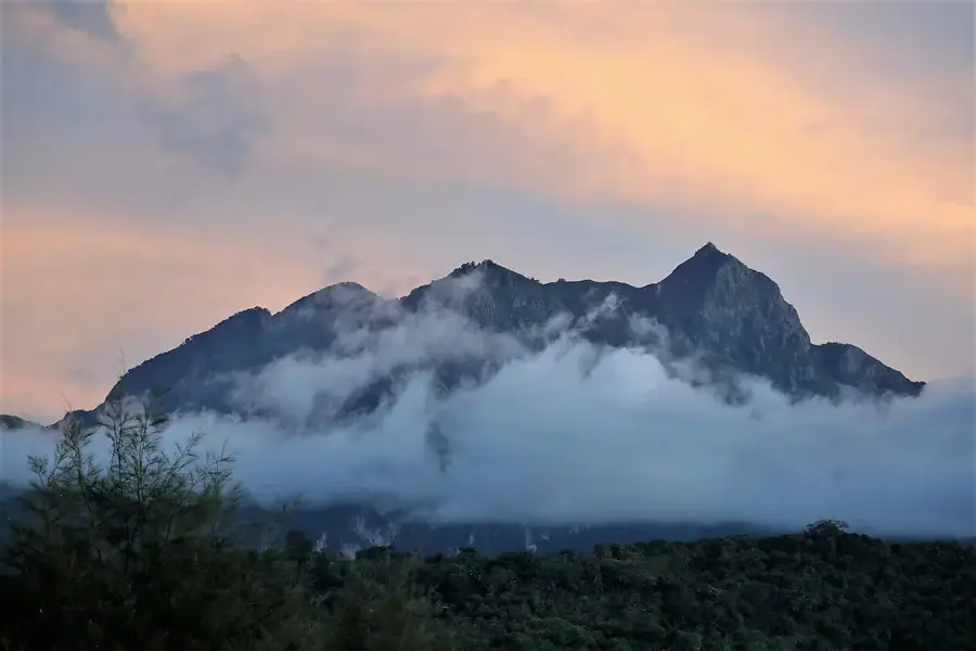
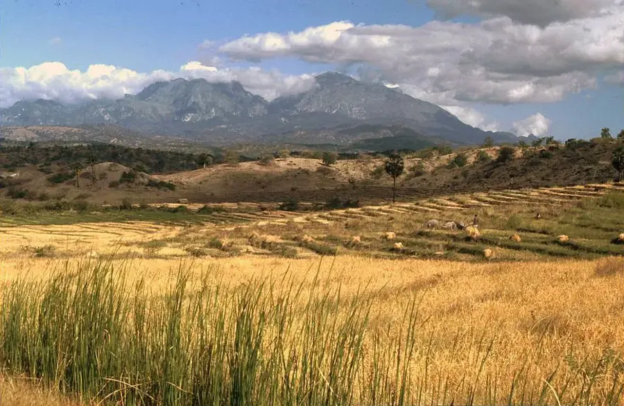
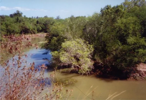
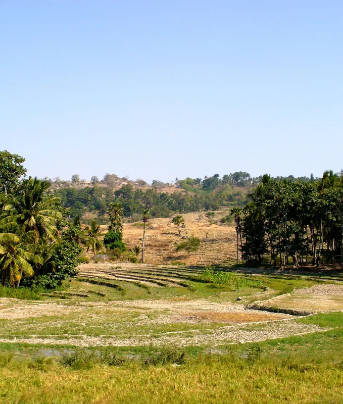
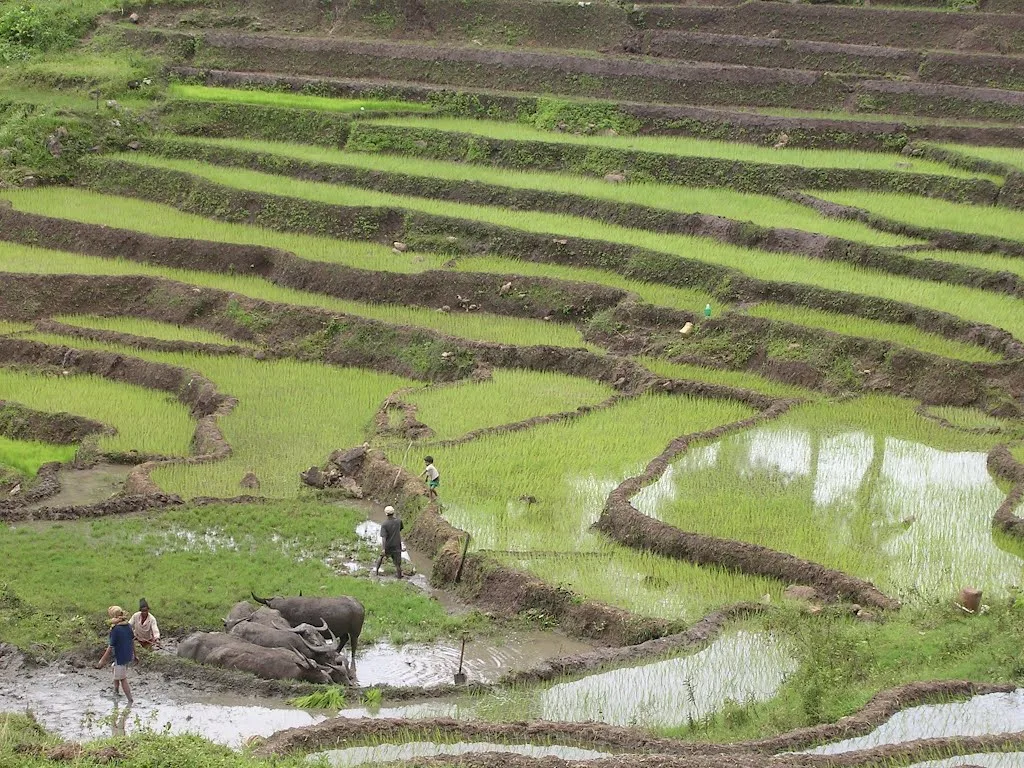
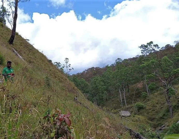
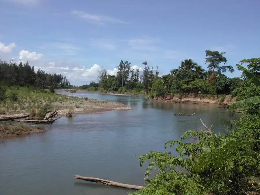
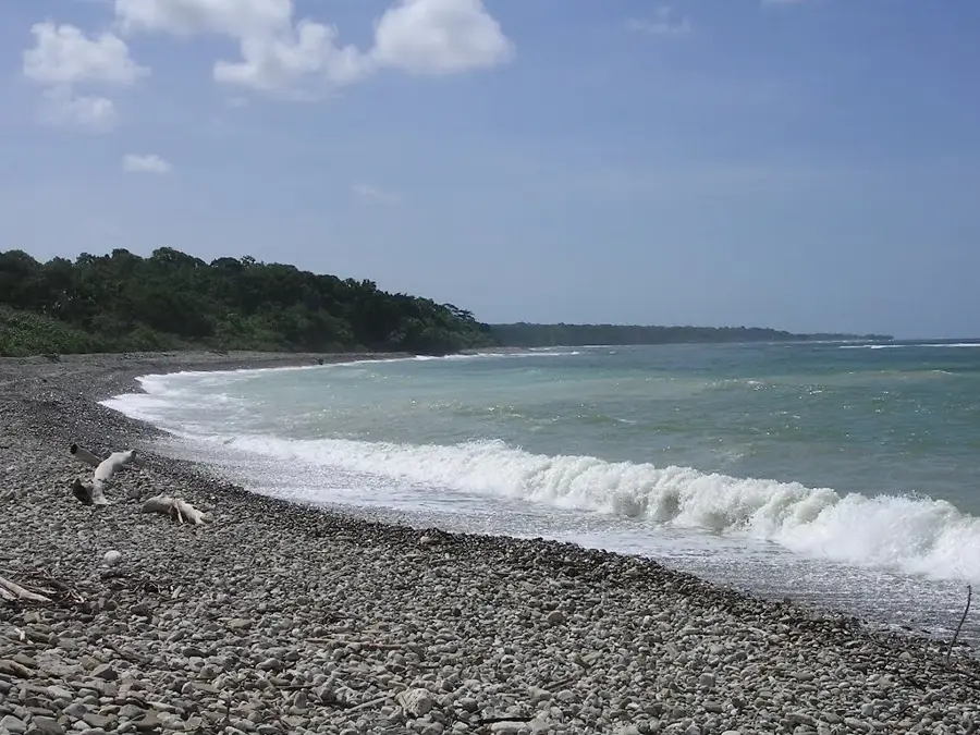
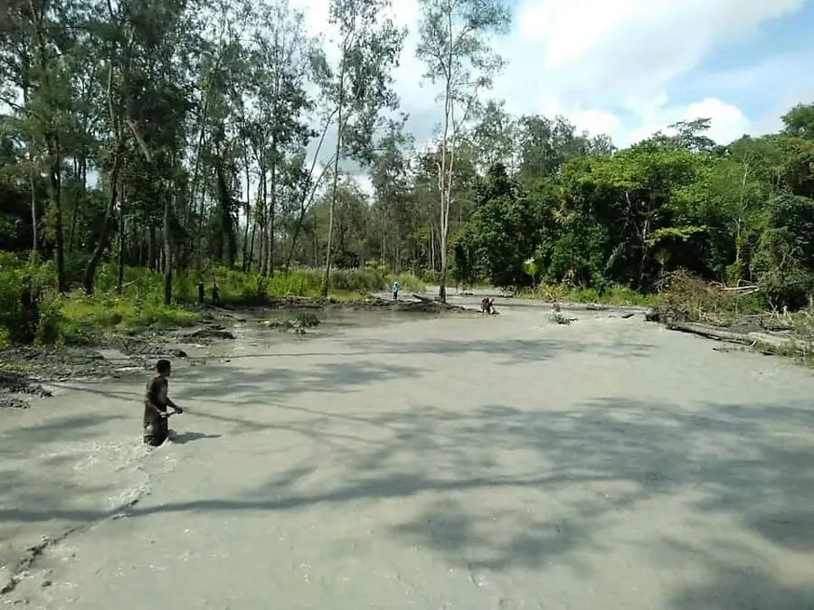
The Seiçal River, locally known as Ribeira de Seiçal, is one of the most significant watercourses in eastern Timor-Leste, flowing through the Baucau District. It originates in the island's central mountain ranges and flows northward until it empties into the Wetar Strait east of Baucau city. The river is renowned for its extensive catchment area and the fertile alluvial plains it forms in its lower reaches. These plains are the center of one of the country's largest rice-growing regions, as the river provides the essential water for complex irrigation systems. Like many rivers in Timor-Leste, the Seiçal exhibits strong seasonality: during the rainy season, it can carry massive volumes of water and flood its banks, while in the dry season, it shrinks to a narrow stream. Ecologically, the river corridor provides vital habitats for waterfowl and diverse riparian vegetation. The bridge over the Seiçal is also a strategically important point for the country's main east-west transport link.
- Location: Timor-Leste
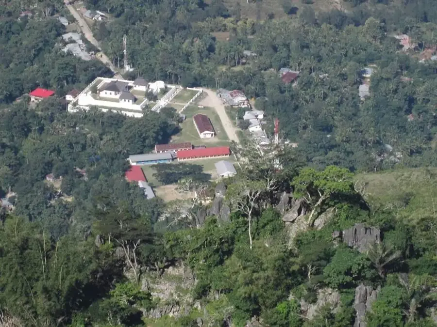
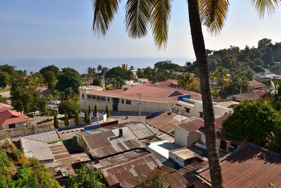
- Top sights: Portuguese Fort · Atatada · Dom Bosco Laga
- Nearby: Baucau (13 km)
Best time to visit & climate
The most pleasant time to visit is Jun–Aug.
| Jan | Feb | Mar | Apr | May | Jun | Jul | Aug | Sep | Oct | Nov | Dec | |
|---|---|---|---|---|---|---|---|---|---|---|---|---|
| Avg °C | 27 | 26 | 27 | 27 | 26 | 25 | 25 | 25 | 26 | 28 | 29 | 28 |
| Rain mm | 225 | 188 | 116 | 54 | 35 | 22 | 9 | 4 | 4 | 11 | 51 | 156 |
📋 Practical info
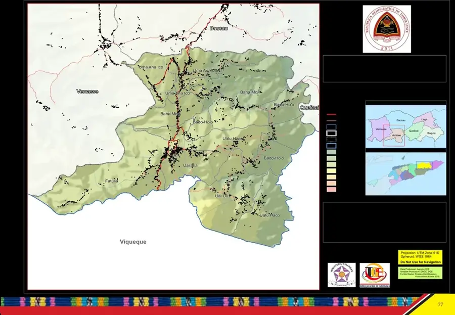
Geography
Facts
- The river empties into the Wetar Strait east of the city of Baucau.
- It supports one of Timor-Leste's most extensive rice-growing areas.
- The Seiçal irrigation system is crucial for local food security.
- The total length of the river from source to mouth is over 50 km.
- Flash floods during the rainy season often cause bank erosion.
- It is a primary component of the island's northern drainage basin.
Explore nearby
Notable places around
Route planner — Car & Motorhome
Where do you start? We build the route here, with stops and country notes along the way.
© OpenStreetMap contributors · OpenRouteService
Sights in the town Seiçal River (7)
Sights nearby
Frequently asked questions
Can you swim in the Seiçal River?
What is the path to the river like?
Is the river a fishing area?
Are there accommodations nearby?
What is the best part of the region?
Seiçal River: where is it located?
Seiçal River: what is there to see?
Seiçal River: when is the best time to visit?
Seiçal River: why is it worth visiting?

Nearby cities
History & landmarks
Nature

More places