Plizio Visual Lab
Mount Tapo
Weather…
Water temperature…
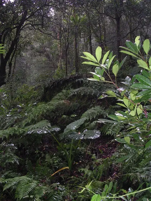
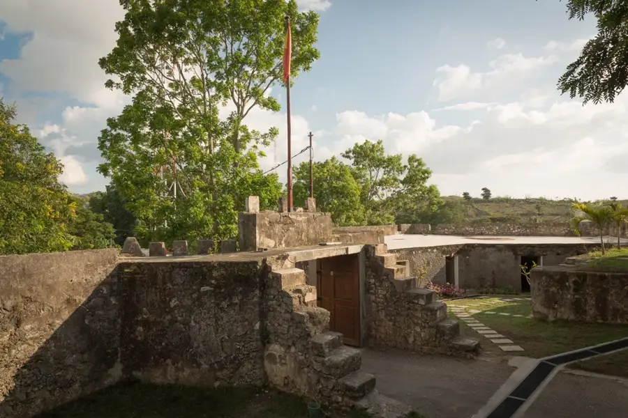
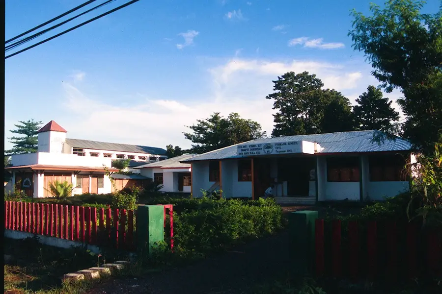
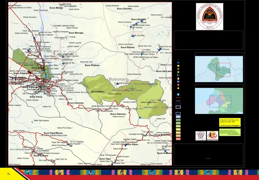
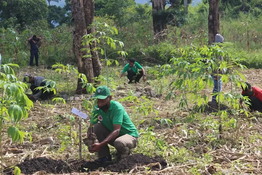
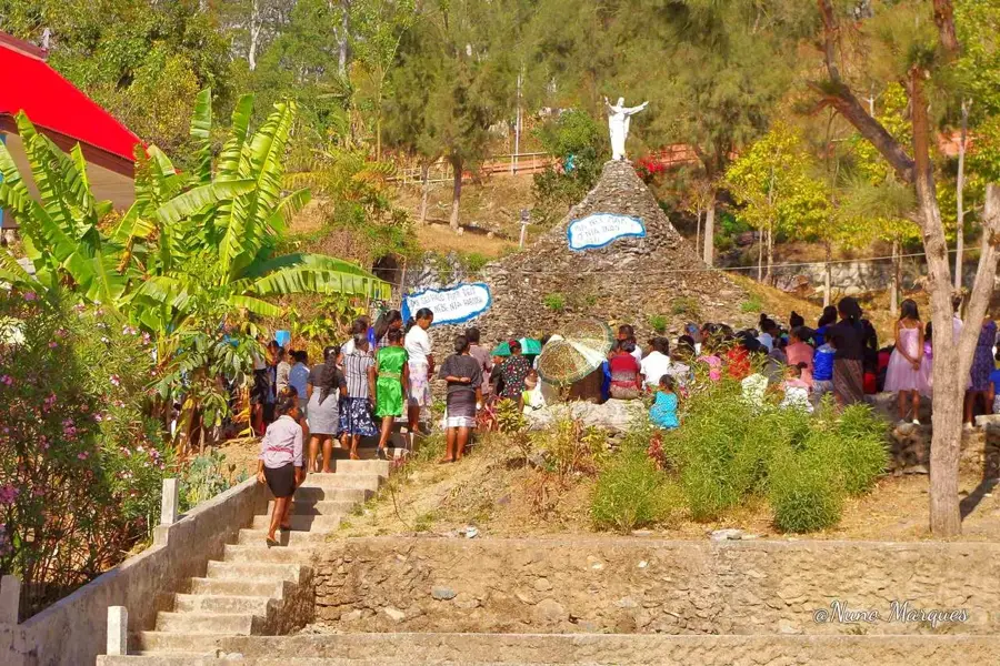
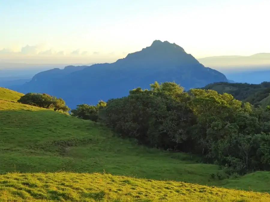
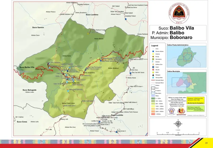
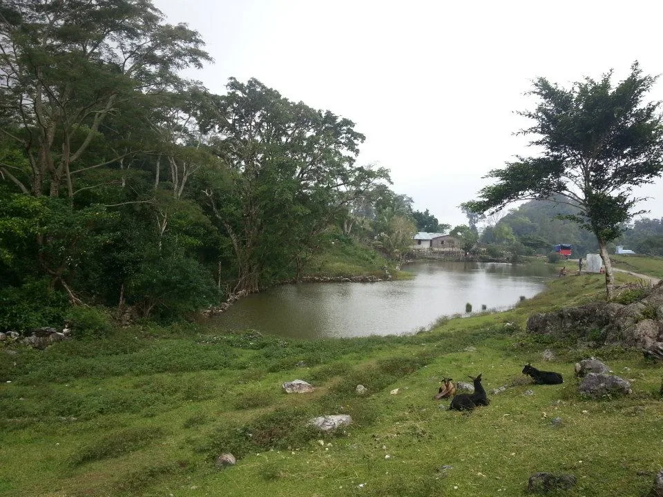
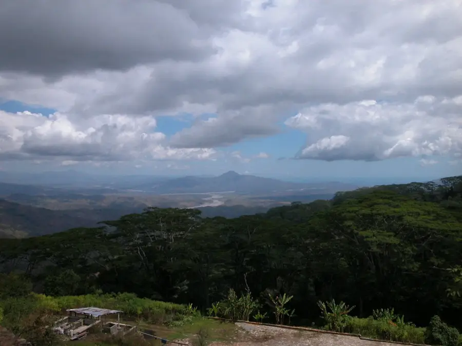
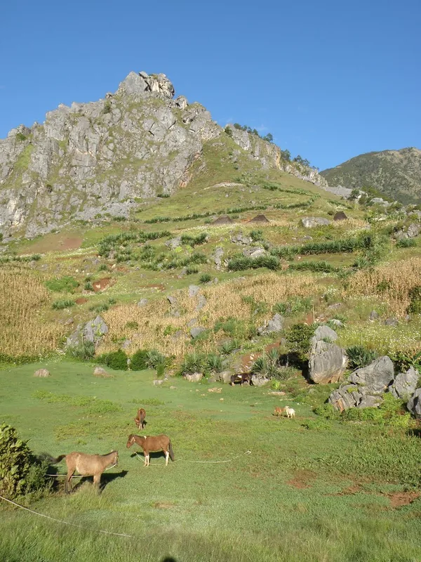
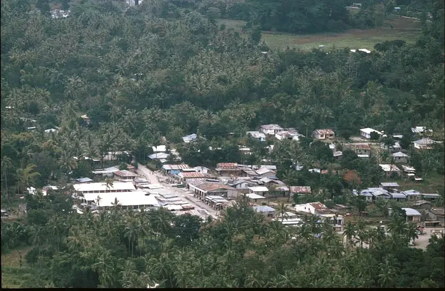
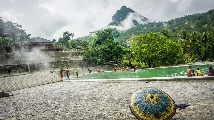
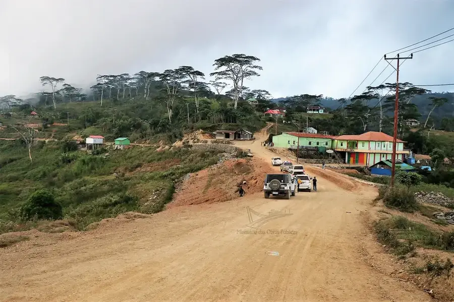
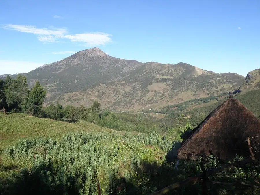
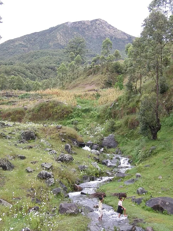
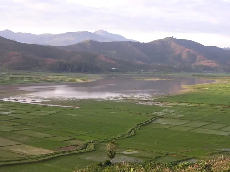
Mount Tapo is a prominent mountain peak located in the Bobonaro Municipality of Timor-Leste, rising to an elevation of approximately 1,934 meters above sea level. Situated near the regional center of Maliana, the mountain forms part of the rugged central highlands that characterize the island's interior geography. Historically, Mount Tapo and its surrounding ridges served as strategic terrain during the decades of the Timorese resistance movement against foreign occupation, providing cover and vantage points for local forces. The ecology of the mountain is diverse, featuring tropical montane forests that host various endemic bird species and provide essential water catchment for the valley below. The mountain remains a significant landmark for the local Kemak and Bunak communities, who maintain traditional agricultural practices on its lower slopes. In recent years, the area has seen growing interest from hikers and eco-tourists attracted by the panoramic views of the Maliana plain and the border regions with Indonesia.
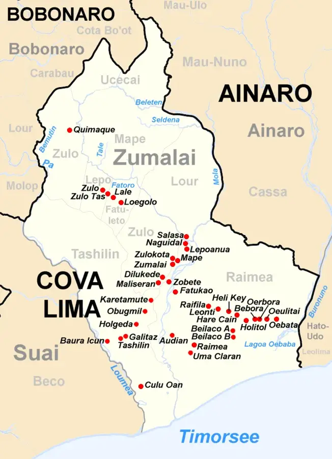
- Location: Timor-Leste
- Top sights: Samoro · Capela Biamaraen · Kapela Aidabaslala
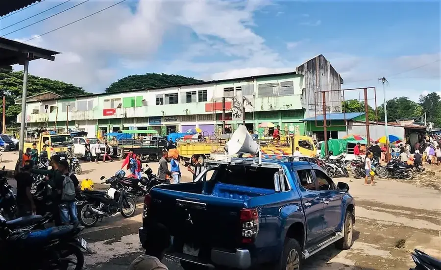
- Nearby: Balibo (8 km)
Best time to visit & climate
The most pleasant time to visit is Jun–Aug.
| Jan | Feb | Mar | Apr | May | Jun | Jul | Aug | Sep | Oct | Nov | Dec | |
|---|---|---|---|---|---|---|---|---|---|---|---|---|
| Avg °C | 26 | 26 | 26 | 26 | 26 | 25 | 25 | 25 | 27 | 28 | 29 | 27 |
| Rain mm | 276 | 242 | 147 | 60 | 39 | 24 | 11 | 5 | 6 | 16 | 66 | 203 |
📋 Practical info
Geography
Facts
- Elevation: approx. 1,934 meters
- Location: Bobonaro Municipality
- Nearest major town: Maliana
- Part of Timor-Leste's central highland range
- Strategic site during the resistance (1975-1999)
- Home to diverse tropical montane forest ecosystems
Explore nearby
Notable places around
Route planner — Car & Motorhome
Where do you start? We build the route here, with stops and country notes along the way.
© OpenStreetMap contributors · OpenRouteService
Sights in the town Mount Tapo (4)
Sights nearby
Frequently asked questions
How difficult is hiking Berg Tapo?
What is the best season to visit Berg Tapo?
Is there parking at the trailhead of Berg Tapo?
Are there restaurants or toilets on the mountain?
What is the weather risk at Berg Tapo?
Mount Tapo: where is it located?
Mount Tapo: what is there to see?
Mount Tapo: when is the best time to visit?
Mount Tapo: why is it worth visiting?

Nearby cities
History & landmarks
Nature

More places