Plizio Visual Lab
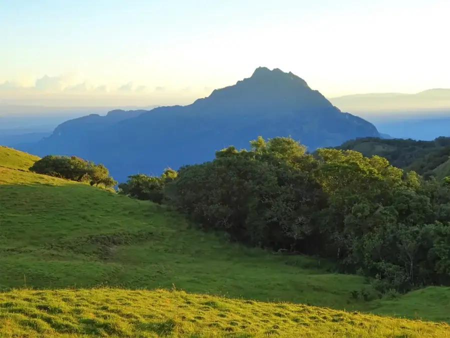
Mount Legumau
Weather…
Water temperature…
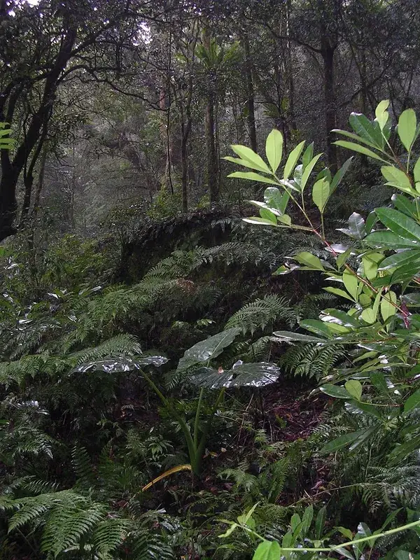
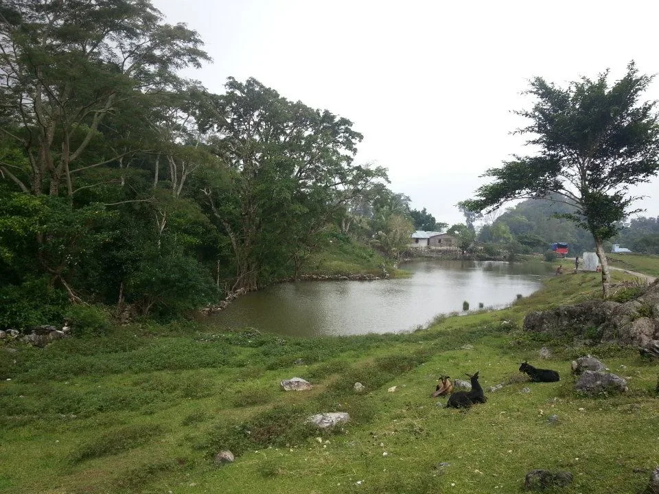
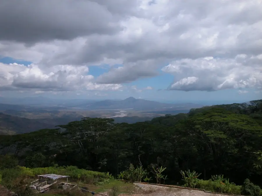
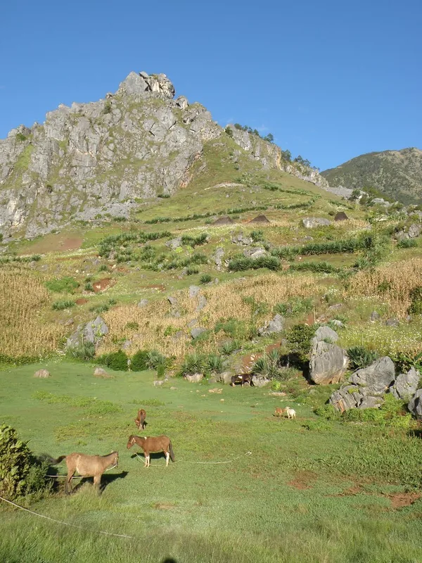
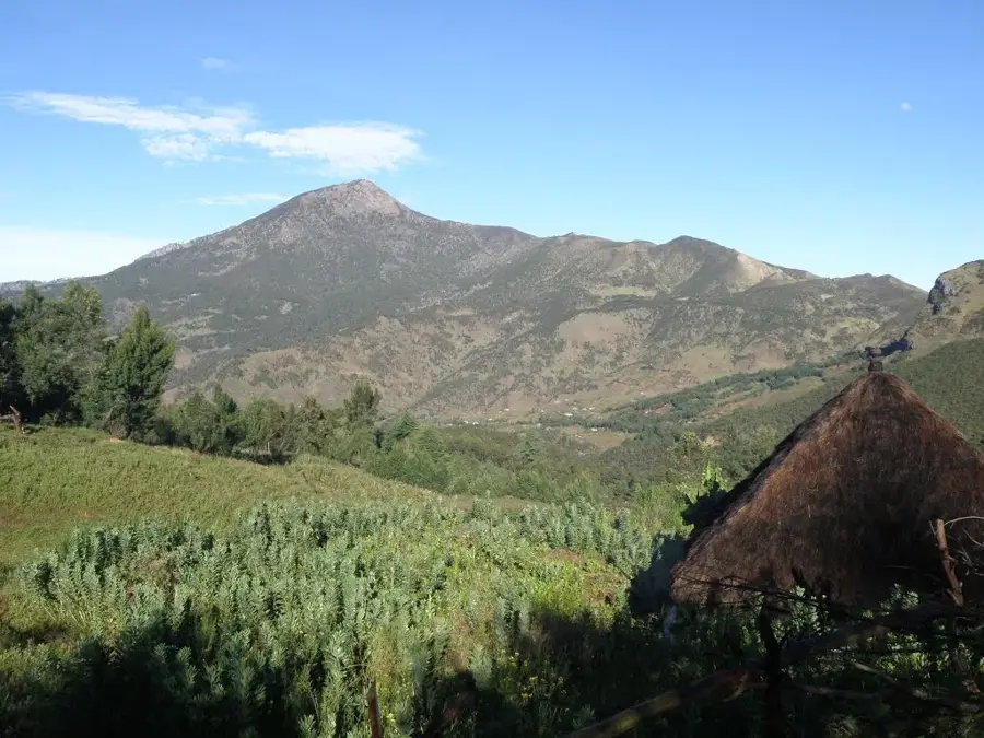
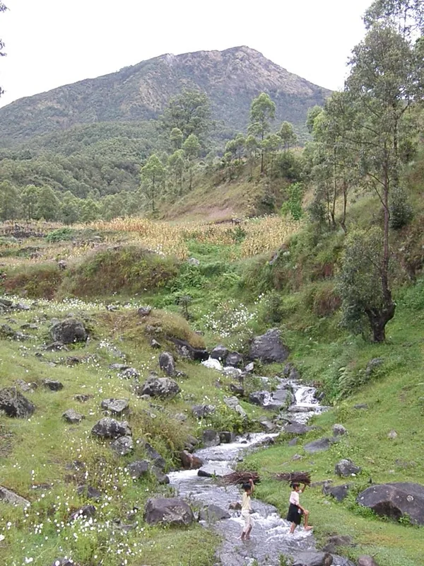
Mount Legumau is one of the most prominent peaks in north-central Timor-Leste, straddling the border between the Baucau and Viqueque municipalities, near the administrative post of Quelicai. Reaching an elevation of approximately 1,297 meters, it plays a central role in the regional topography. The mountain is primarily composed of limestone and is part of a range known for its rugged karst landscapes and numerous caves. During the armed resistance against the Indonesian occupation, Legumau served as a vital stronghold for FALINTIL fighters, as the challenging terrain provided excellent defensive positions and concealment. The mountain's flora includes tropical montane forests which, despite agricultural pressure at lower elevations, remain relatively intact near the summit. The surrounding valleys are famous for producing high-quality coffee, benefiting from the cool mountain climate. For the local population, Mount Legumau is not just a geographic feature but a site of historical memory and spiritual significance, frequently mentioned in regional folk songs and oral histories.
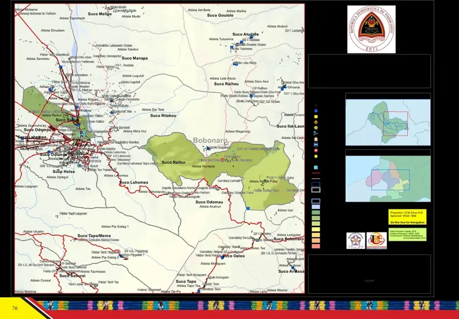
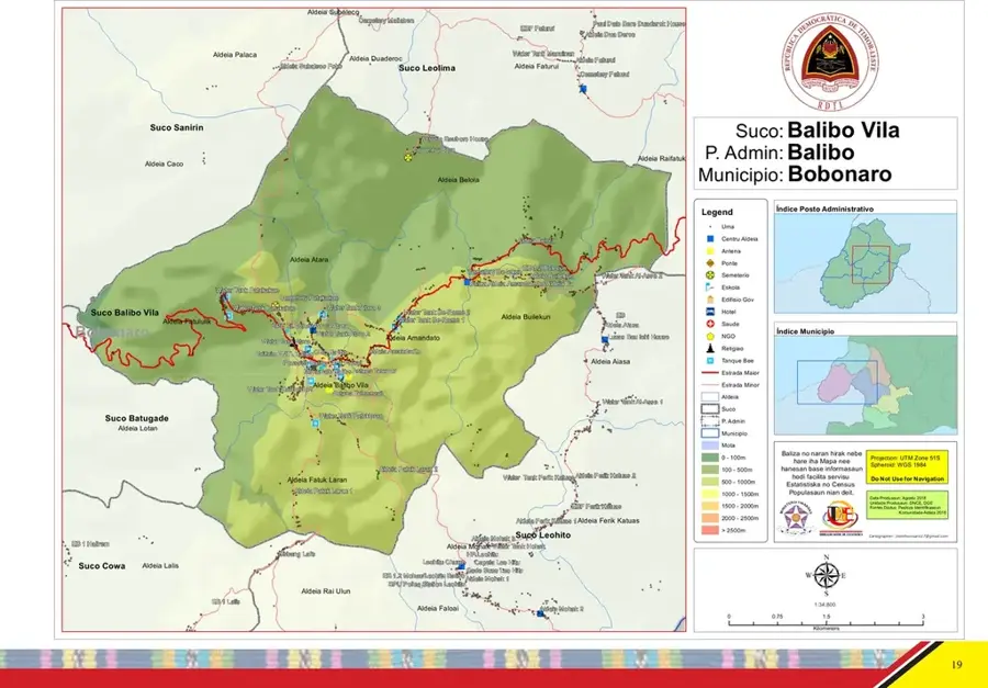
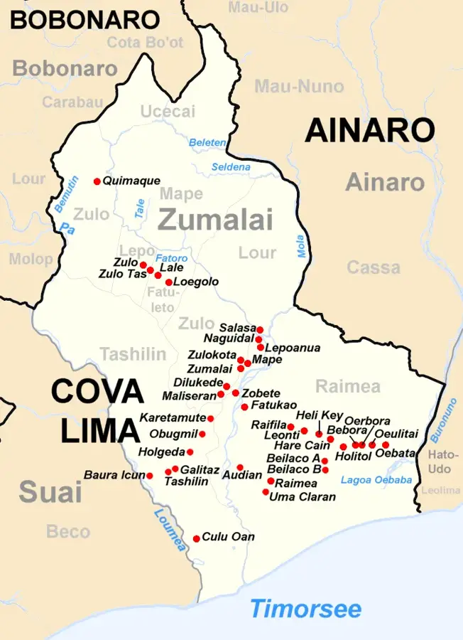
- Location: Timor-Leste
- Top sights: Lolo Fataluu · Foho Maubesi · Foho Meak
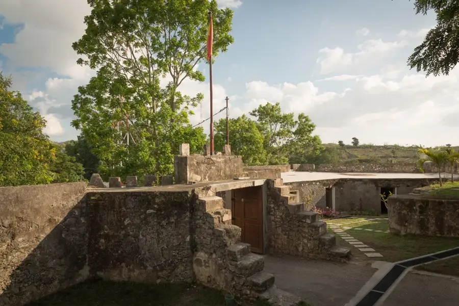
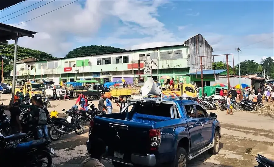
- Nearby: Balibo (7 km)
Best time to visit & climate
The most pleasant time to visit is Jun–Aug.
| Jan | Feb | Mar | Apr | May | Jun | Jul | Aug | Sep | Oct | Nov | Dec | |
|---|---|---|---|---|---|---|---|---|---|---|---|---|
| Avg °C | 26 | 26 | 26 | 26 | 26 | 25 | 25 | 25 | 27 | 28 | 29 | 27 |
| Rain mm | 276 | 242 | 147 | 60 | 39 | 24 | 11 | 5 | 6 | 16 | 66 | 203 |
📋 Practical info
Geography
Facts
- Elevation of approximately 1,297 meters
- Situated on the Baucau-Viqueque border
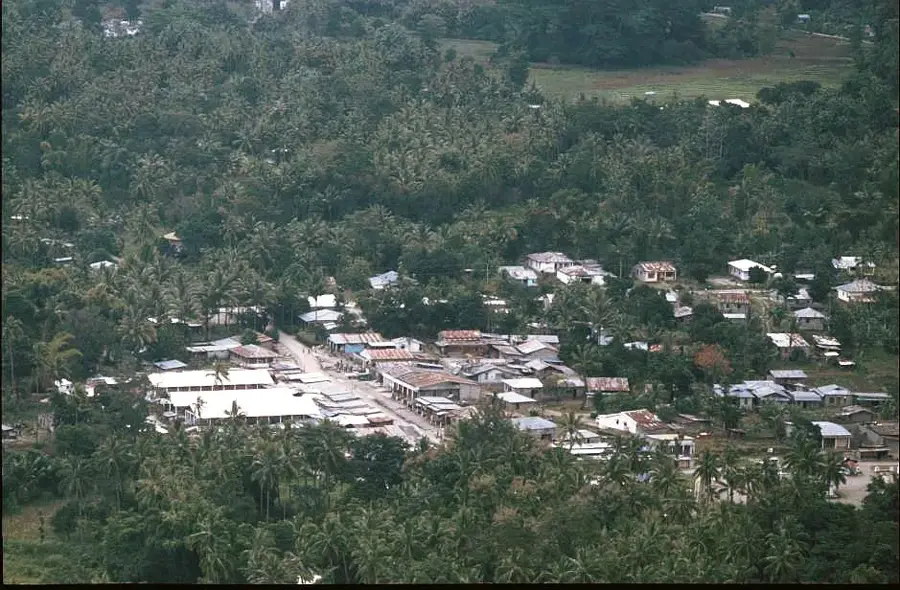
- Located near the Quelicai administrative post
- Historical stronghold for FALINTIL resistance
- Composed of limestone with karst features
- Surrounding area is famous for coffee production
Explore nearby
Notable places around
Route planner — Car & Motorhome
Where do you start? We build the route here, with stops and country notes along the way.
© OpenStreetMap contributors · OpenRouteService
Sights in the town Mount Legumau (10)
Sights nearby
Frequently asked questions
How is the view from Berg Legumau?
Is the trail marked?
What physical fitness is needed?
Can the tour be done in one day?
Are there accommodations nearby?
Mount Legumau: where is it located?
Mount Legumau: what is there to see?
Mount Legumau: when is the best time to visit?
Mount Legumau: why is it worth visiting?

Nearby cities
History & landmarks
Nature

More places