Plizio Visual Lab
Yazgulem Range
Weather…
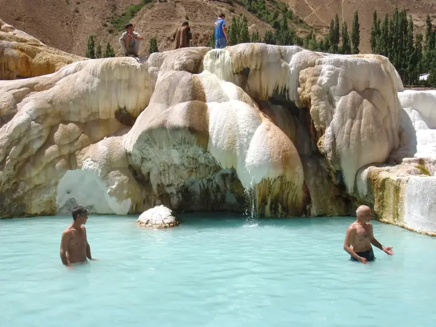
Water temperature…
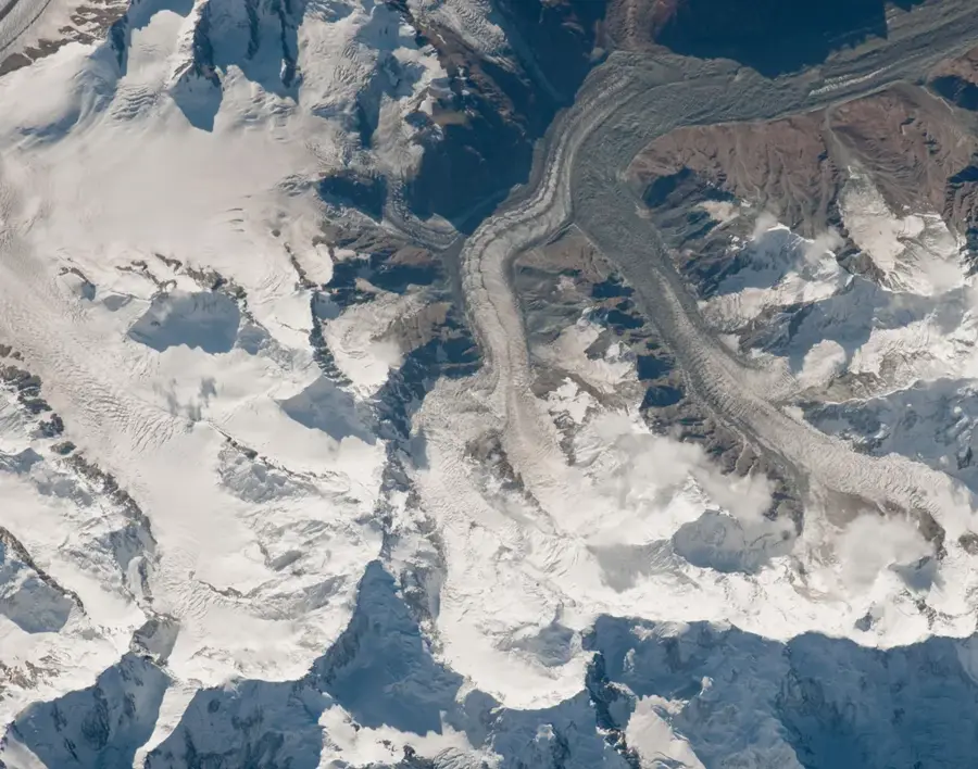
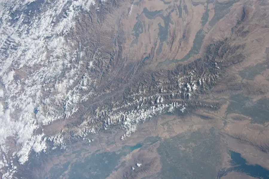
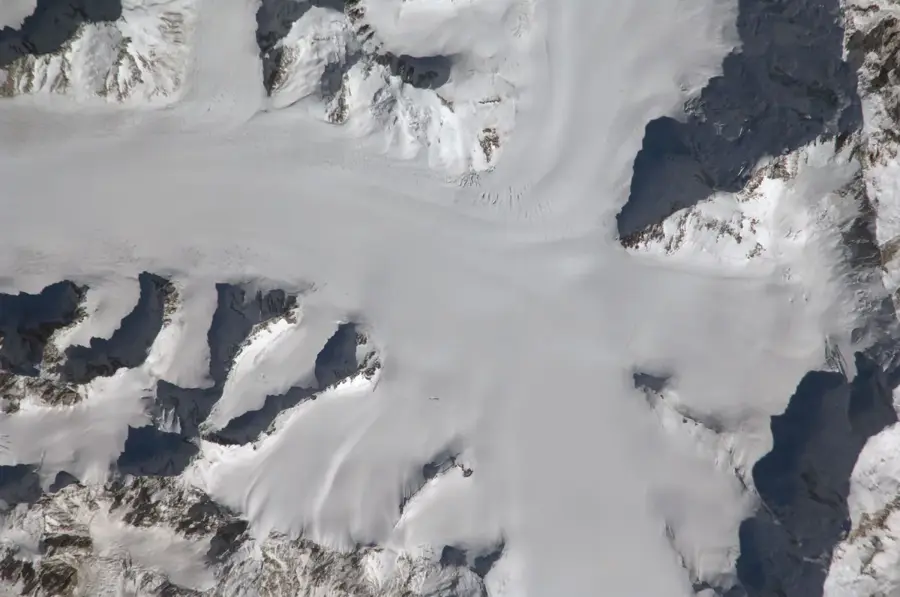
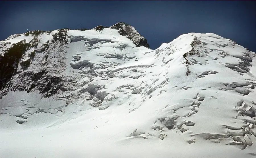
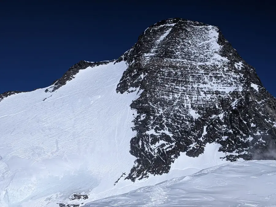
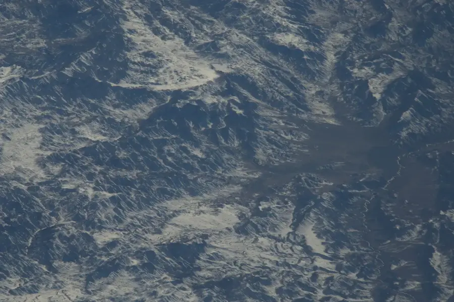
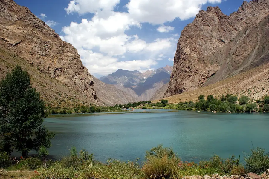
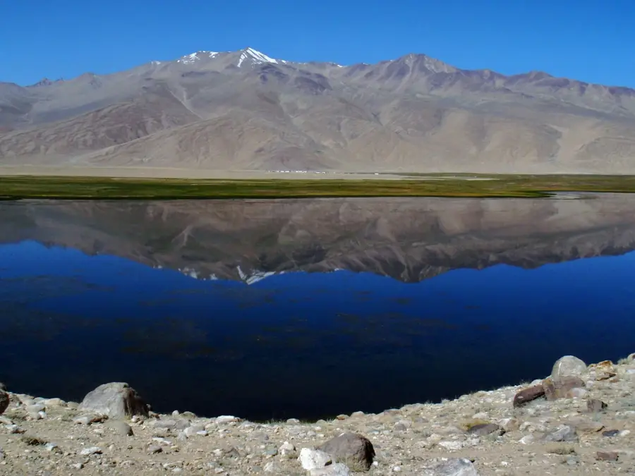
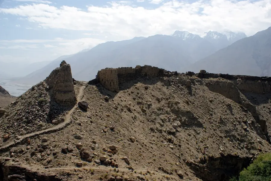
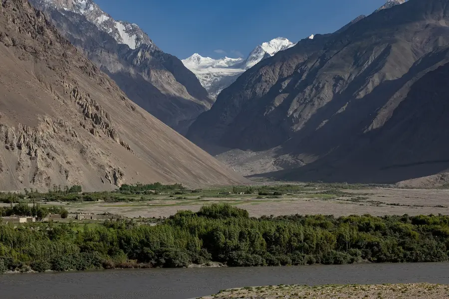
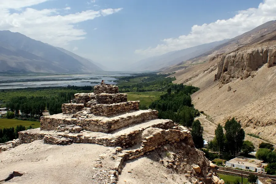
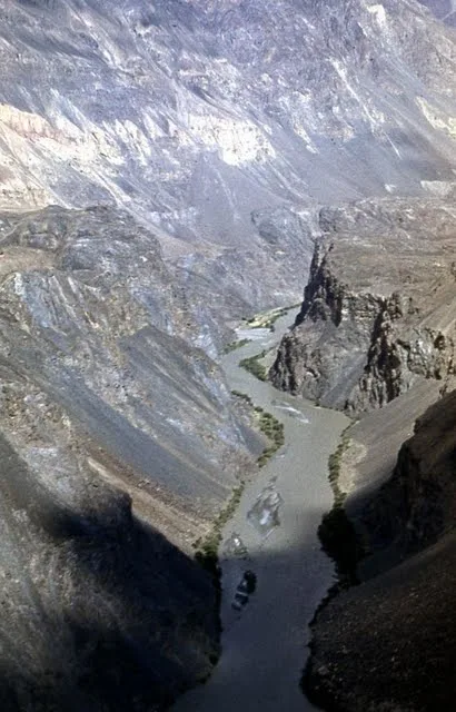
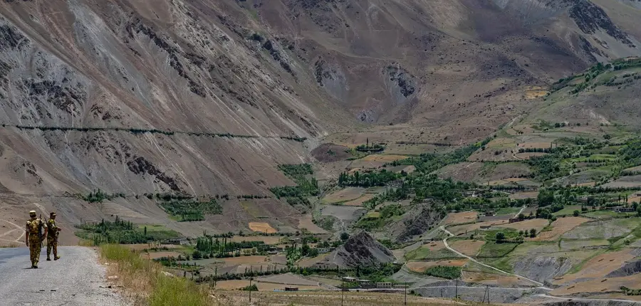
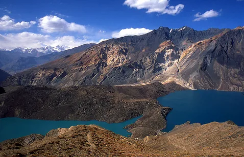
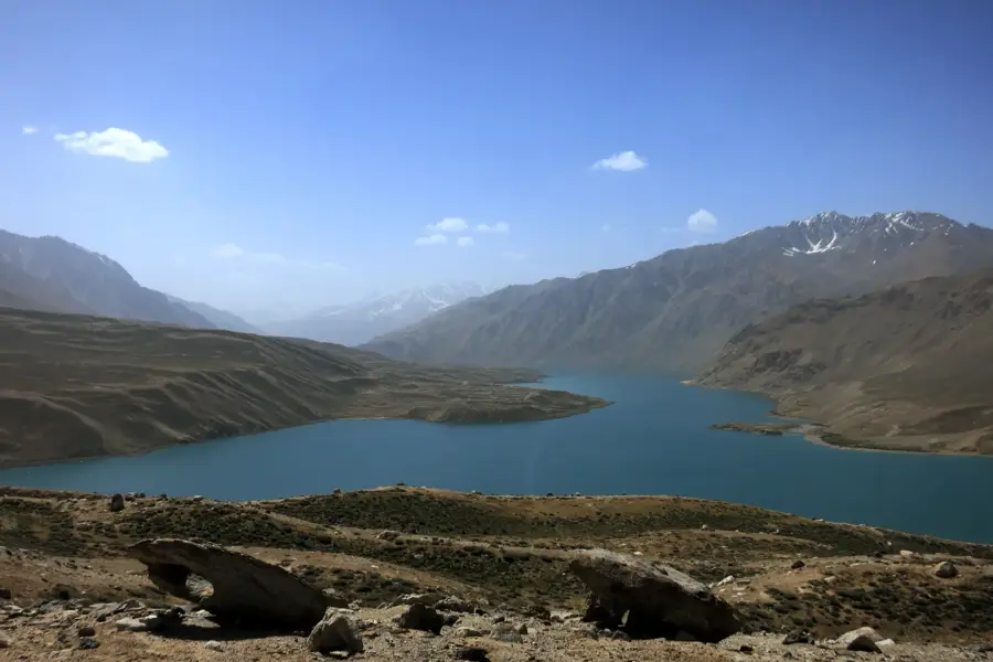
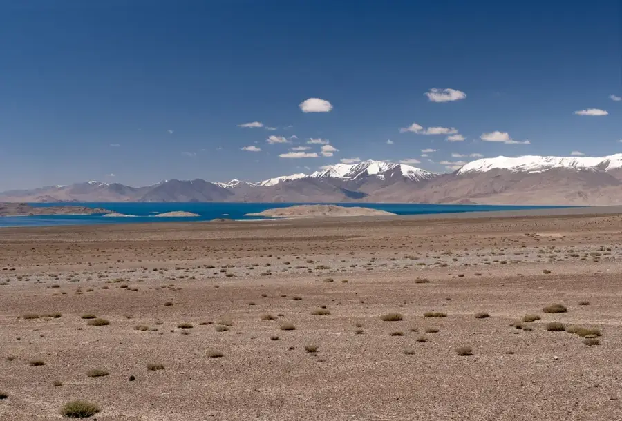
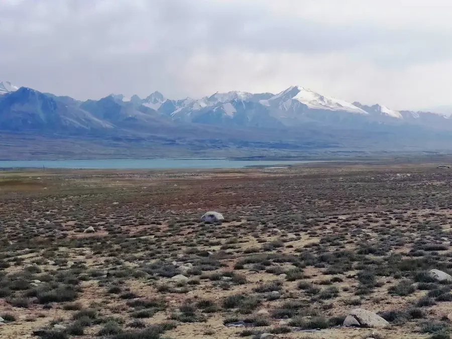
The Yazgulem Range is a central mountain chain in the Tajik Pamir, stretching approximately 170 kilometers between the valleys of the Yazgulem and Bartang rivers. With Independence Peak (formerly Revolution Peak) in the immediate vicinity, the range reaches impressive heights, with Yazgulem Peak itself standing at 6,974 meters. The relief is characterized by extreme steepness and massive glaciation, including the starting points of some of the Pamir's largest glaciers. Geologically, the area is dominated by metamorphic rocks and granite intrusions uplifted during the Alpine orogeny. The harsh climate and difficult accessibility have ensured that the region remains one of the least explored areas of Tajikistan. Historically, the valleys provided shelter for local tribes and were the setting for early scientific expeditions in the 19th and 20th centuries. Today, the range is a sought-after destination for high-altitude mountaineers looking to climb pristine six-thousand-meter peaks. Meltwater feeds the Bartang, a significant tributary of the Amu Darya system.
- Location: Tajikistan
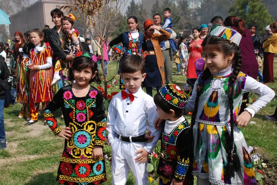
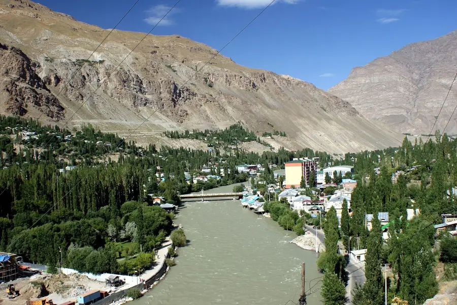
- Nearby: Jisev (Geisev) Valley (16 km)
Best time to visit & climate
The most pleasant time to visit is Jun–Aug.
| Jan | Feb | Mar | Apr | May | Jun | Jul | Aug | Sep | Oct | Nov | Dec | |
|---|---|---|---|---|---|---|---|---|---|---|---|---|
| Avg °C | -12 | -10 | -5 | 1 | 5 | 9 | 12 | 12 | 7 | 2 | -4 | -10 |
| Rain mm | 24 | 30 | 36 | 32 | 25 | 14 | 5 | 11 | 2 | 9 | 29 | 22 |
📋 Practical info
Geography
Facts
- The highest peak is Yazgulem Peak at 6,974 meters
- Stretches over a length of approximately 170 kilometers
- Home to significant glaciers of the central Pamir
- Geological structure consists of metamorphics and granites
- Important drainage divide between Yazgulem and Bartang
- Located near the Fedchenko Glacier, the world's longest
Explore nearby
Notable places around
Route planner — Car & Motorhome
Where do you start? We build the route here, with stops and country notes along the way.
© OpenStreetMap contributors · OpenRouteService
Sights nearby
Frequently asked questions
Is the Jasgulem-Gebirge suitable for beginners?
Is a special permit required for the region?
Where can I find information on hiking trails?
Are there water sources for hikers?
Can one camp wild there?
Yazgulem Range: where is it located?
Yazgulem Range: when is the best time to visit?
Yazgulem Range: why is it worth visiting?

Nearby cities
History & landmarks
Nature

More places