Plizio Visual Lab
Rushan Range
Weather…
Water temperature…
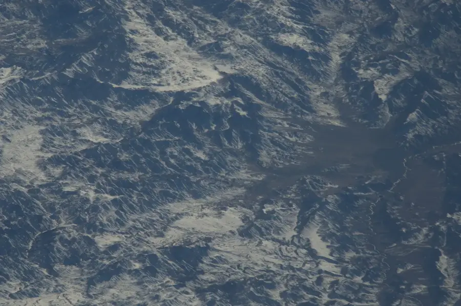
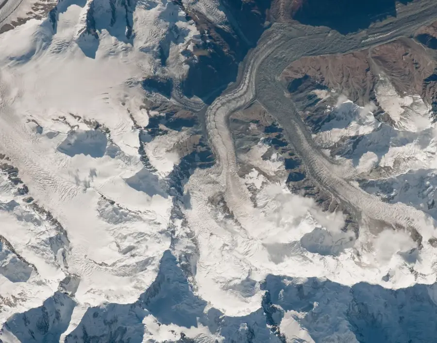
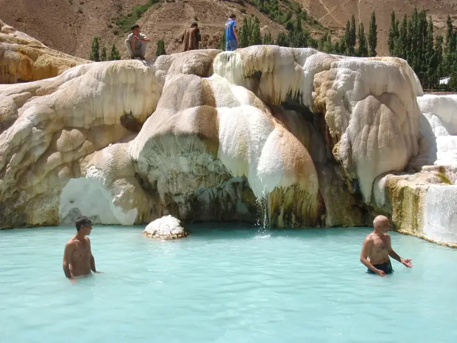
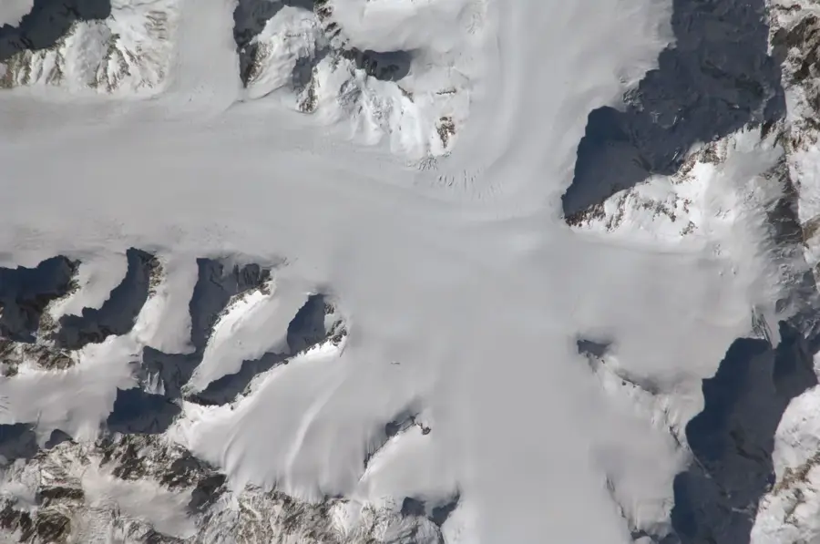
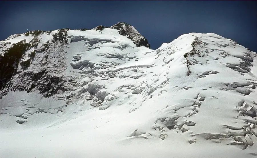
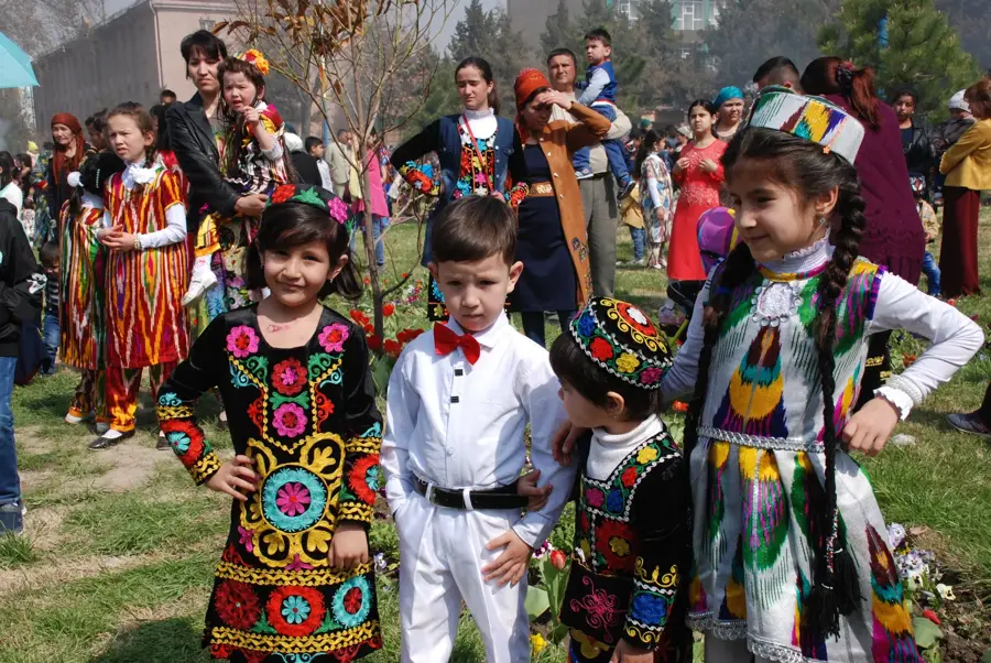
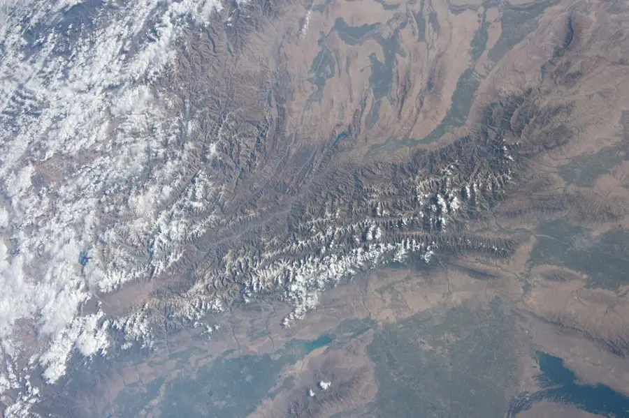
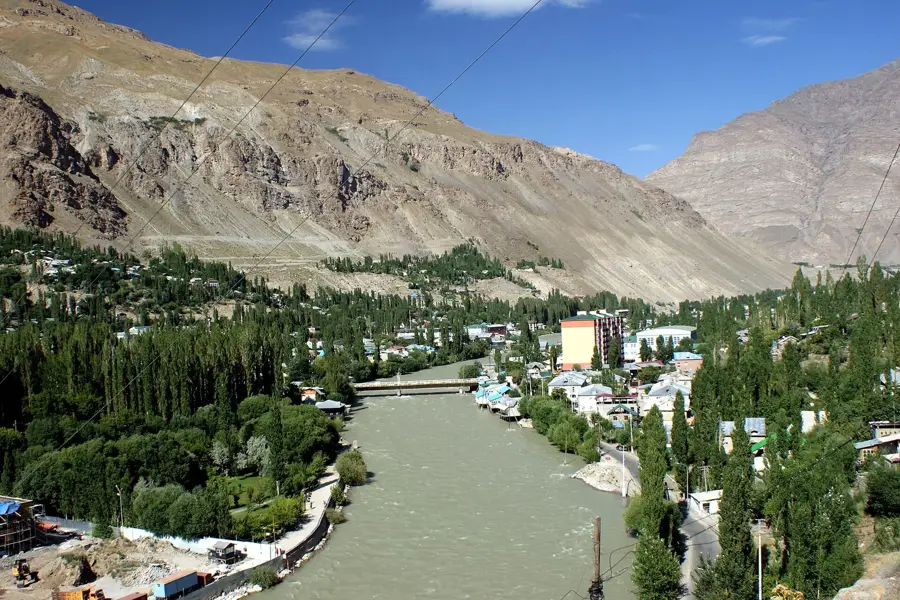
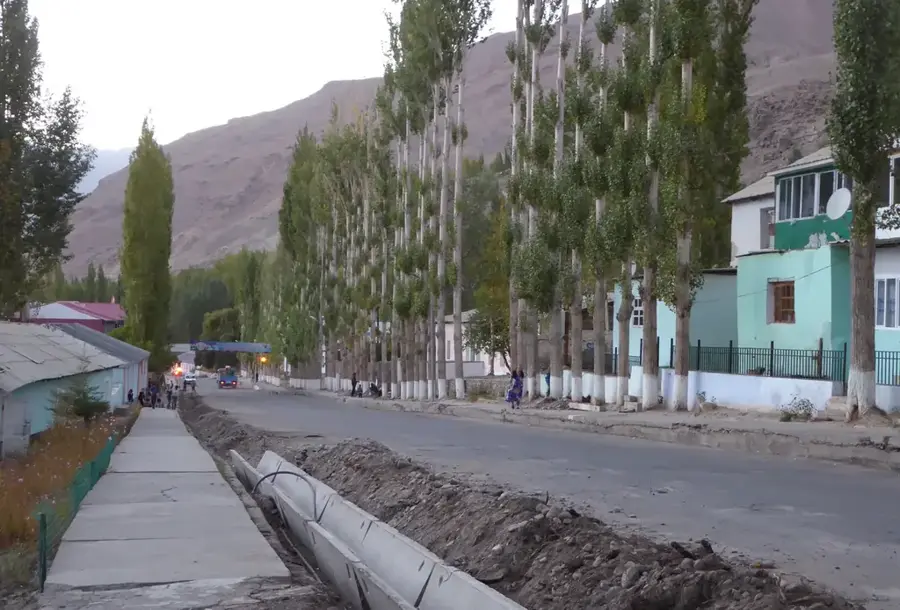
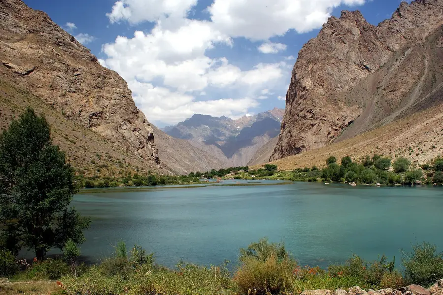
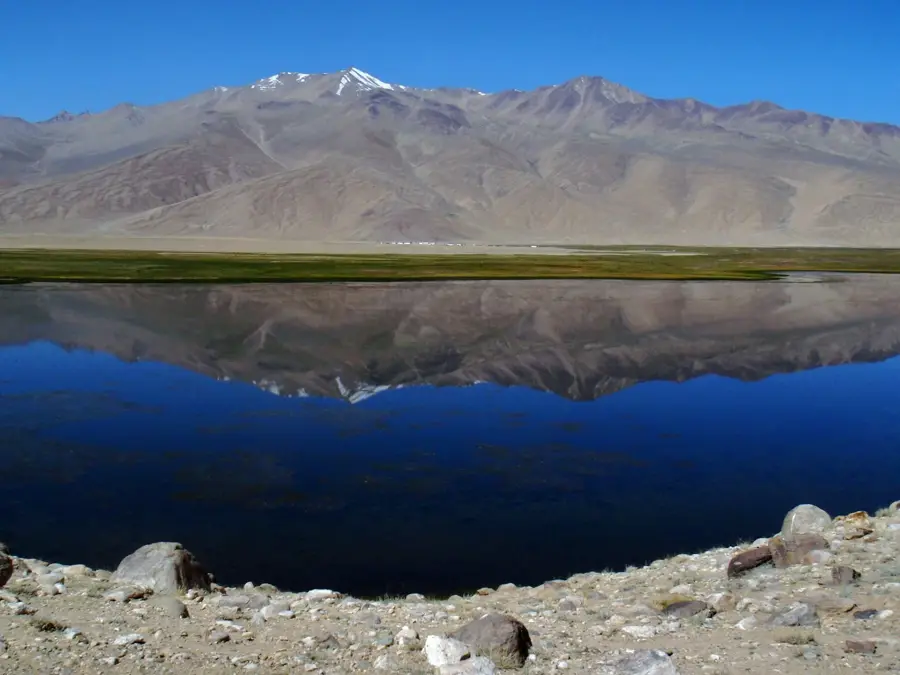
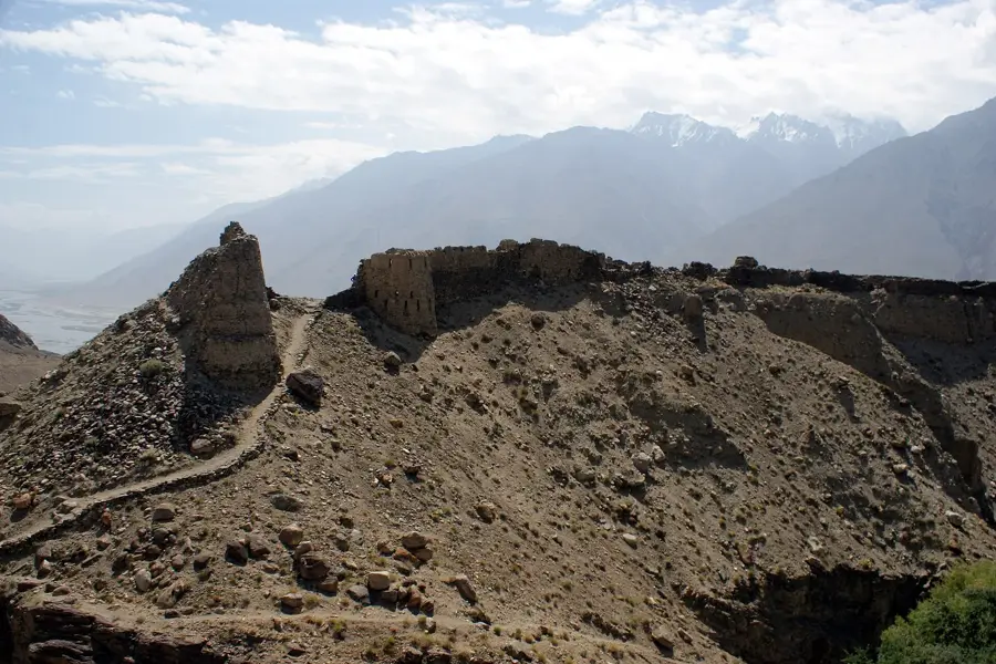
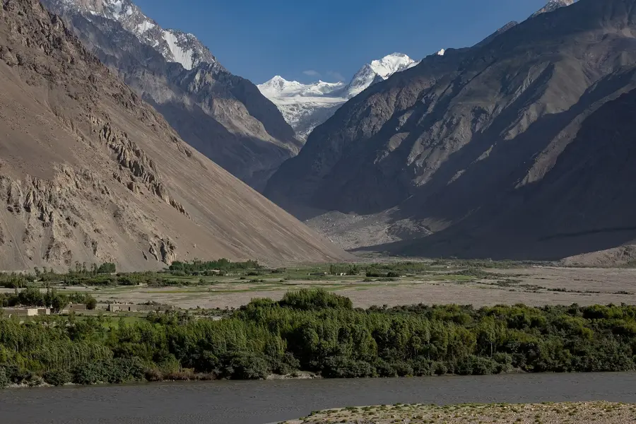
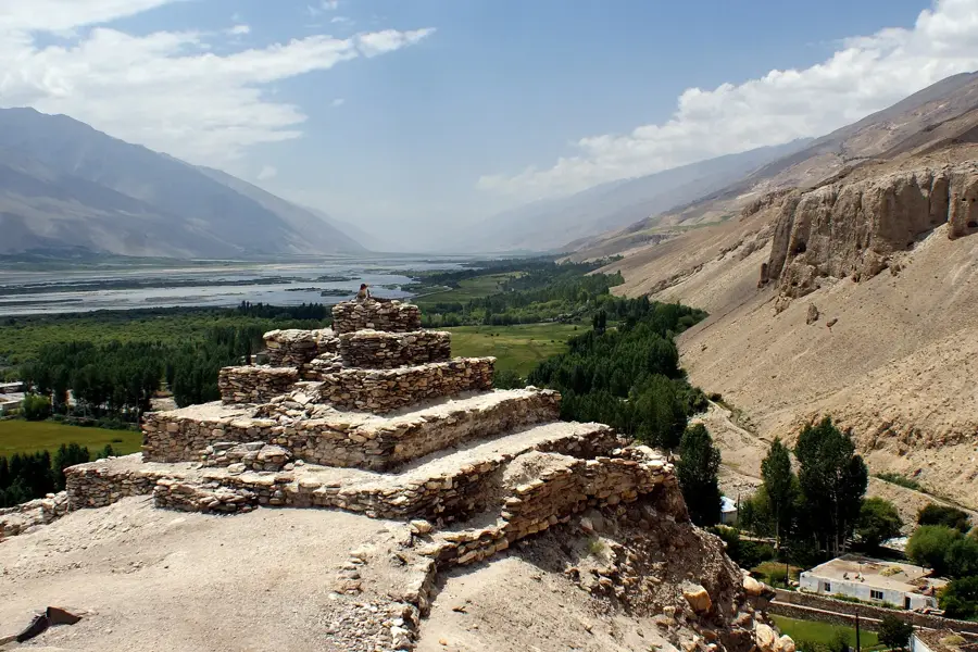
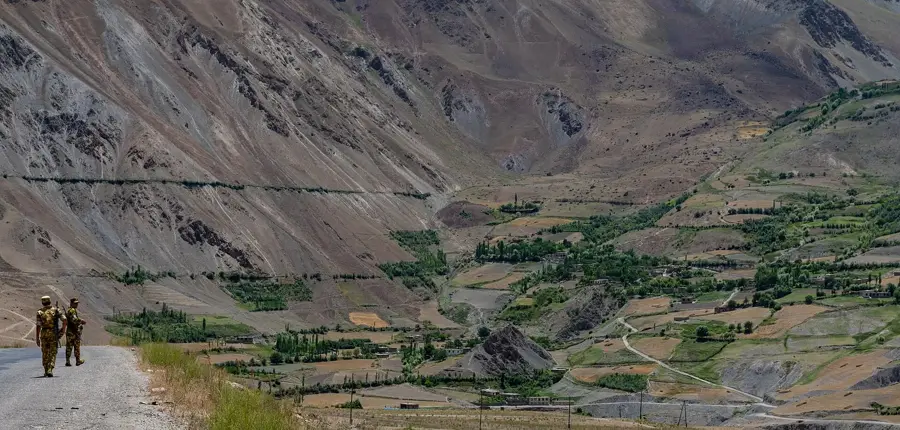
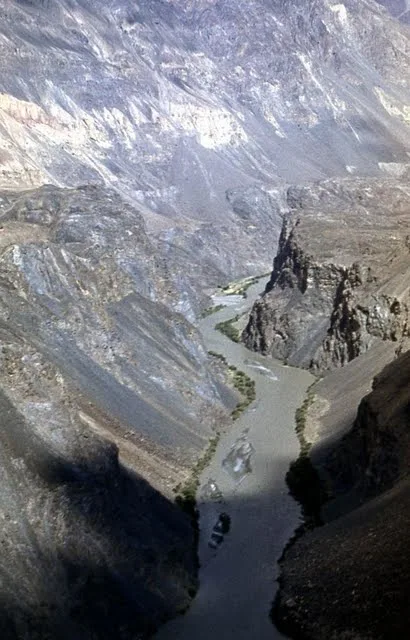
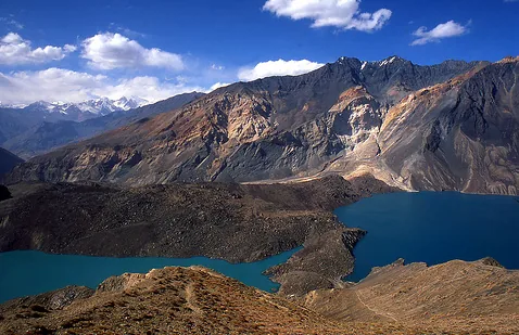
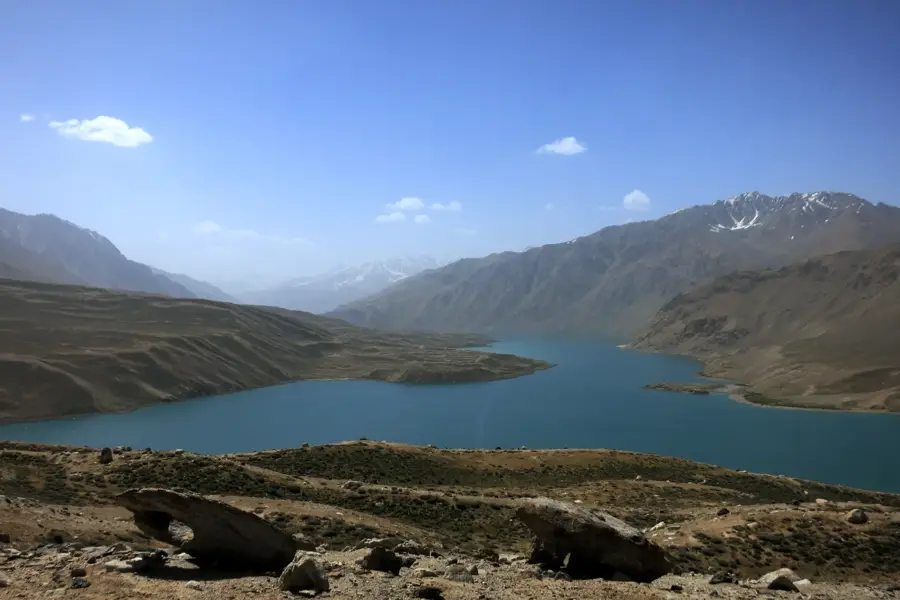
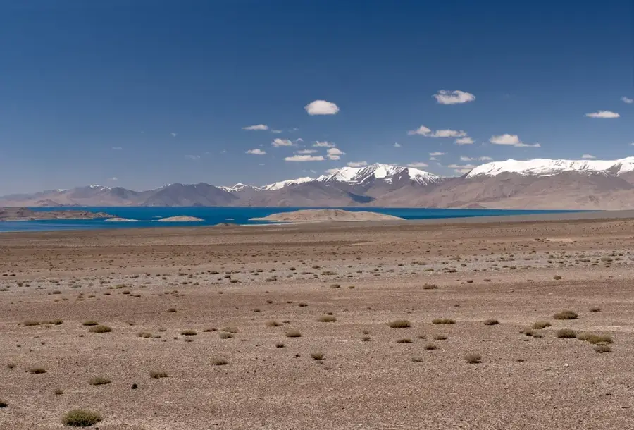
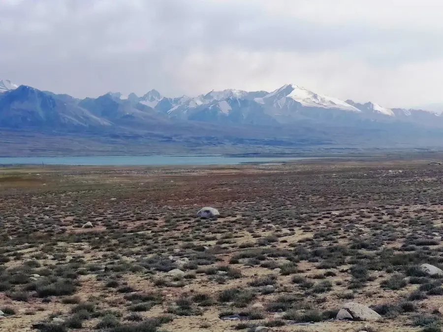
The Rushan Range is an impressive mountain chain in the western Pamir of Tajikistan, running north of the Gunt River and stretching approximately 120 kilometers. Its highest point is Mount Patkhor, which stands at 6,083 meters, forming a prominent silhouette over the region. The relief is characterized by sharp ridges, deep U-shaped glacial valleys, and numerous alpine lakes formed after the retreat of ice masses. Geologically, granitoids and crystalline schists dominate, giving the mountains a bright, almost silvery appearance. The Rushan Range is noted for its rich flora, including rare medicinal plants and alpine wildflowers that thrive in sheltered valleys. Historically, the region was an important refuge for the Ismaili population of the Pamir, preserving a unique cultural identity. Today, the range is a popular destination for trekking and climbing expeditions, offering spectacular views of the central Pamir. The range's glaciers are vital sources for irrigation in the oases along the Gunt River.
- Location: Tajikistan
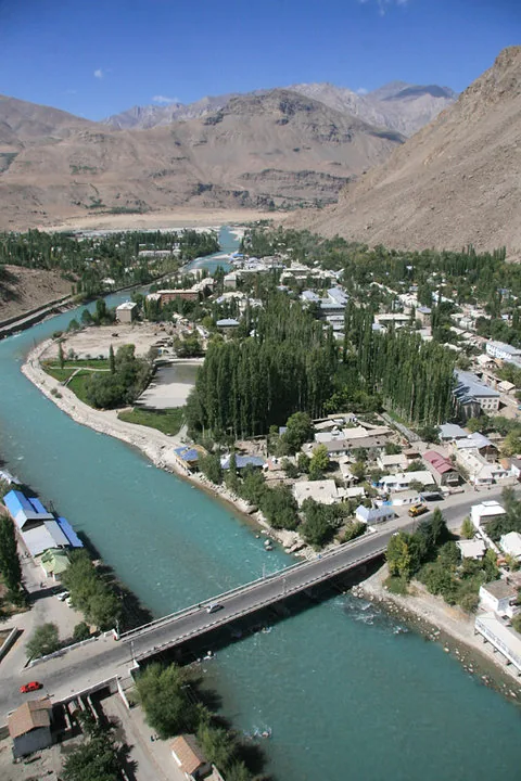
- Nearby: Khorugh (31 km)
Best time to visit & climate
The most pleasant time to visit is Jun–Aug.
| Jan | Feb | Mar | Apr | May | Jun | Jul | Aug | Sep | Oct | Nov | Dec | |
|---|---|---|---|---|---|---|---|---|---|---|---|---|
| Avg °C | -14 | -13 | -7 | -1 | 3 | 7 | 10 | 10 | 5 | -1 | -6 | -12 |
| Rain mm | 20 | 22 | 26 | 26 | 16 | 8 | 3 | 3 | 1 | 7 | 17 | 17 |
📋 Practical info
Geography
Facts
- The highest peak is Mount Patkhor at 6,083 meters
- Stretches over a length of approximately 120 kilometers
- Located in the Gorno-Badakhshan Autonomous Region
- Geology consists mainly of granitoids and schist
- Near the spectacular Sarez Lake area
- An important habitat for the Pamir ibex
Explore nearby
Notable places around
Route planner — Car & Motorhome
Where do you start? We build the route here, with stops and country notes along the way.
© OpenStreetMap contributors · OpenRouteService
Sights nearby
Frequently asked questions
What makes the Ruschan-Gebirge special?
How do I avoid altitude sickness?
Is there mobile network coverage?
What is the local infrastructure like?
Is the area safe?
Rushan Range: where is it located?
Rushan Range: when is the best time to visit?
Rushan Range: why is it worth visiting?

Nearby cities
History & landmarks
Nature

More places