Plizio Visual Lab
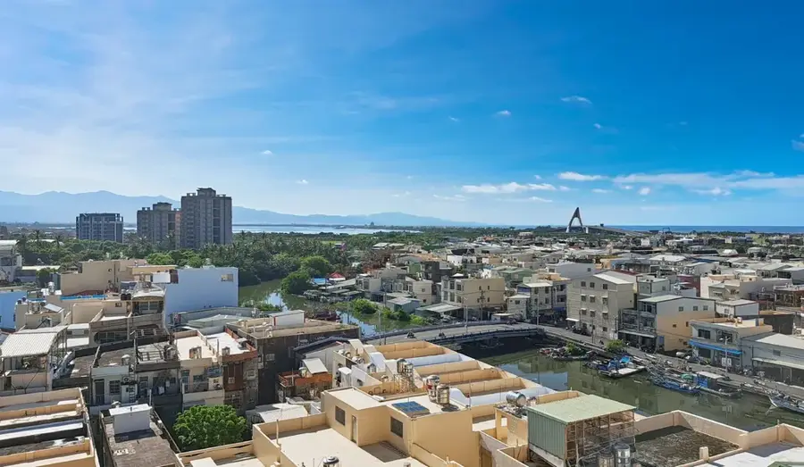
Gaoping River
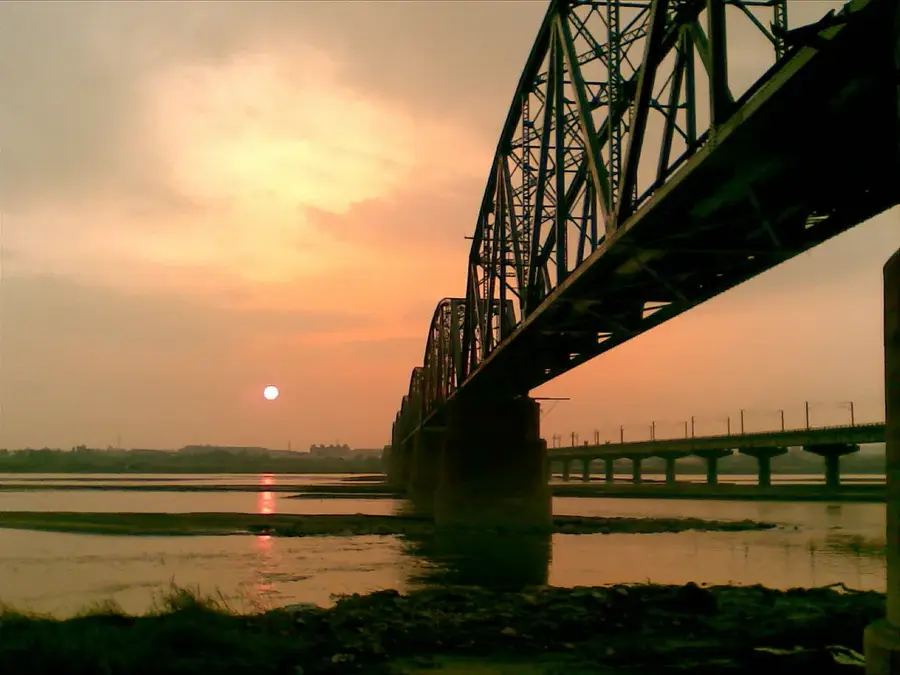
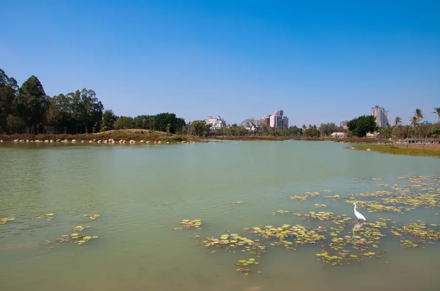
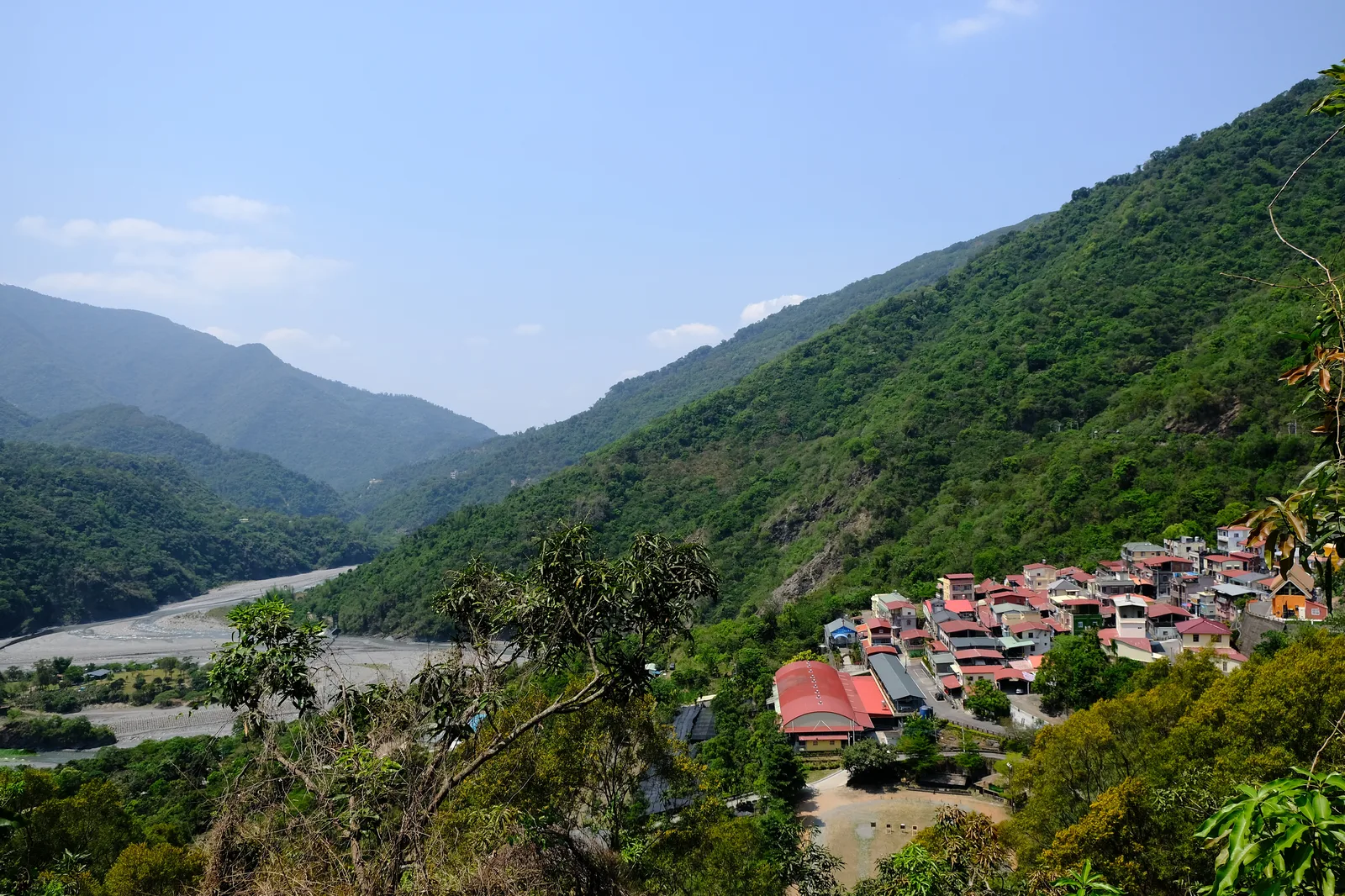
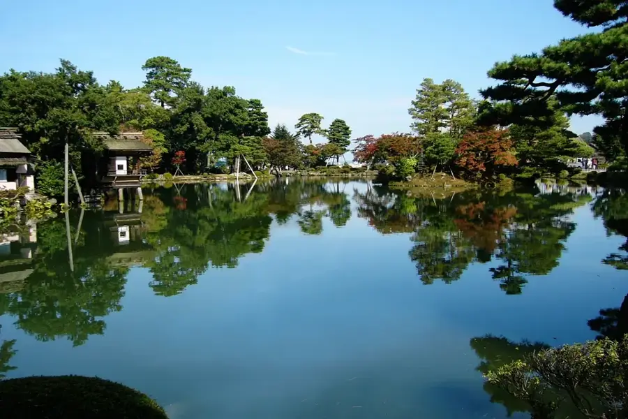
The Gaoping River is the largest river in southern Taiwan by drainage area and water volume. Originating from the slopes of the Yushan range, it flows for approximately 171 kilometers through Kaohsiung and Pingtung counties before emptying into the Taiwan Strait. Its basin covers over 3,200 square kilometers and is of critical importance for regional water supply, industry, and agriculture. Historically, the river served as a major transport route for indigenous peoples and early settlers. One of the most iconic structures spanning the river is the Old Dashu Railway Bridge, which was once the longest in Asia and now stands as a protected historical monument. The lower reaches of the river host significant wetlands that provide sanctuary for migratory birds, although water quality has faced challenges from industrial and agricultural runoff. In recent decades, extensive ecological restoration projects have been initiated to improve the river's health and biodiversity. The Gaoping River also plays a central role in flood management for the densely populated coastal plains of southern Taiwan.
- Location: Taiwan
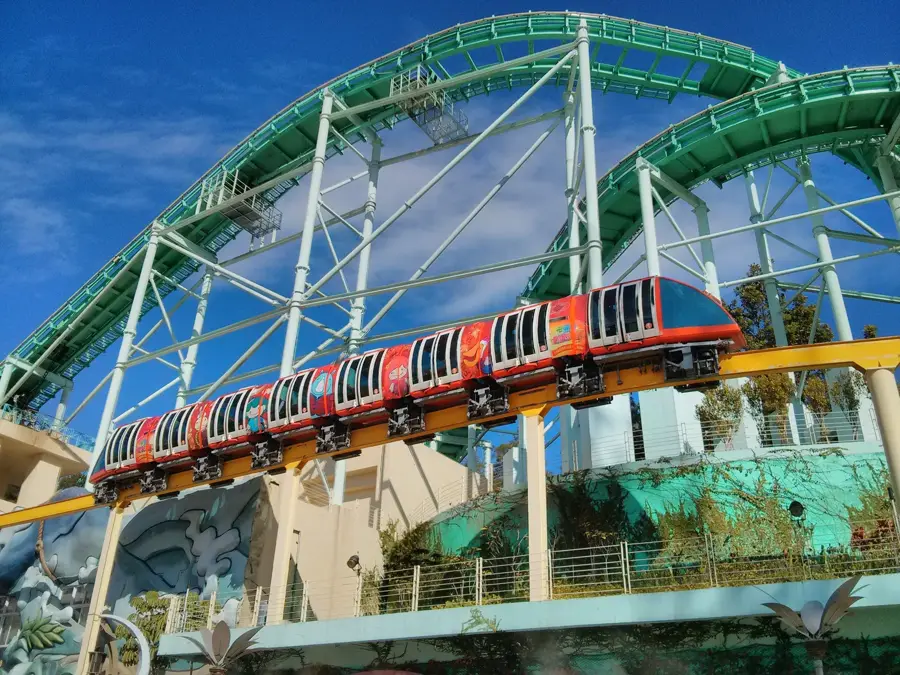
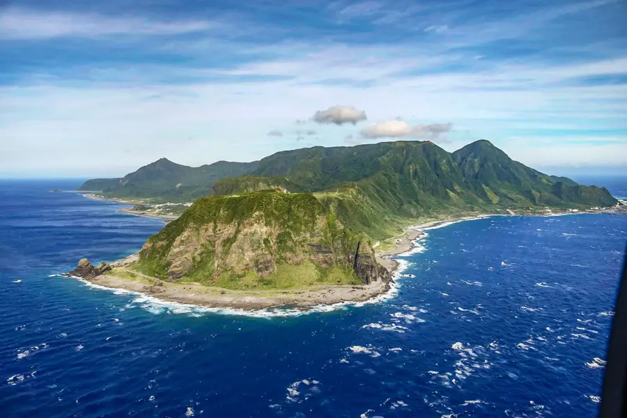
- Top sights: Clam shell island · PENBAY International Circuit · Shuangyuan Bridge
- Nearby: Donggang (4 km)
Best time to visit & climate
The most pleasant time to visit is Jan, Feb, Dec.
| Jan | Feb | Mar | Apr | May | Jun | Jul | Aug | Sep | Oct | Nov | Dec | |
|---|---|---|---|---|---|---|---|---|---|---|---|---|
| Avg °C | 21 | 22 | 23 | 25 | 27 | 27 | 28 | 28 | 27 | 26 | 24 | 21 |
| Rain mm | 33 | 27 | 37 | 56 | 183 | 303 | 287 | 436 | 240 | 76 | 53 | 34 |
📋 Practical info
Geography
Facts
- Largest drainage basin in Taiwan, covering 3,257 km².
- Total length of the river is approximately 171 kilometers.
- Primary source of industrial and drinking water for Kaohsiung.
- The historic Dashu Bridge was once the longest in Asia.
- Home to over 100 species of birds in its wetland areas.
- Formed by the confluence of the Laonong and Qishan rivers.
Explore nearby
Notable places around
Route planner — Car & Motorhome
Where do you start? We build the route here, with stops and country notes along the way.
© OpenStreetMap contributors · OpenRouteService
Sights in the town Gaoping River (3)
Sights nearby
Frequently asked questions
What is the difficulty level of the paths along the Gaoping River?
Are there sanitary facilities or dining options near the river?
What is the best season to visit?
Are there weather-related risks?
Is the area parking-friendly?
Gaoping River: where is it located?
Gaoping River: what is there to see?
Gaoping River: when is the best time to visit?
Gaoping River: why is it worth visiting?

Nearby cities
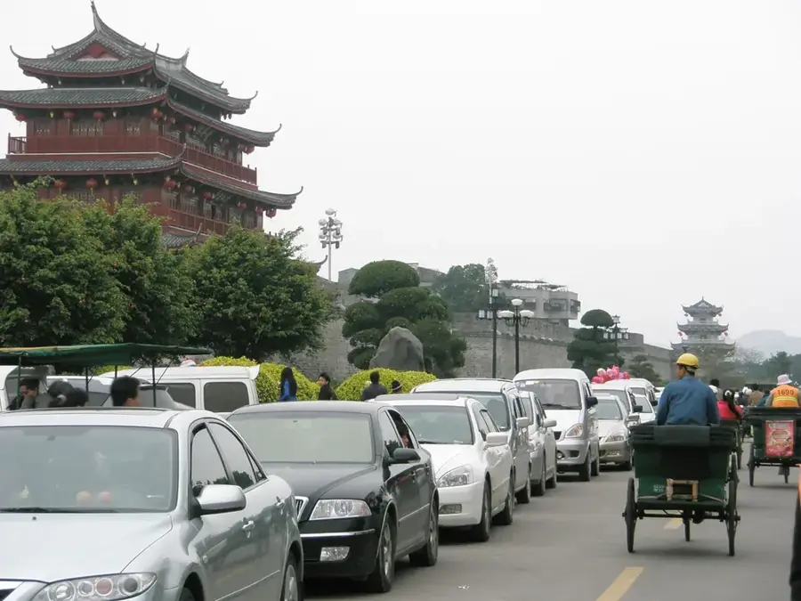

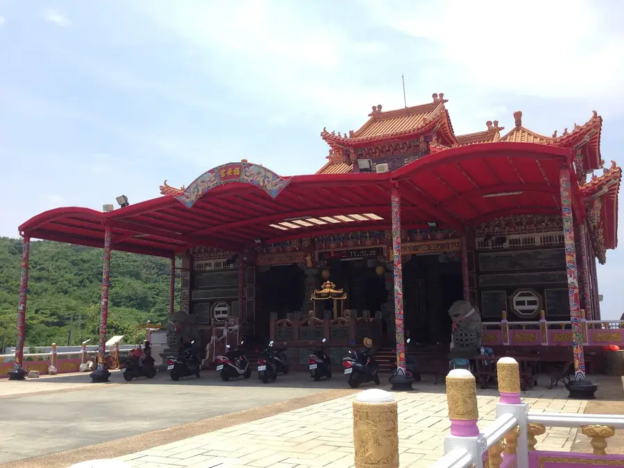

History & landmarks
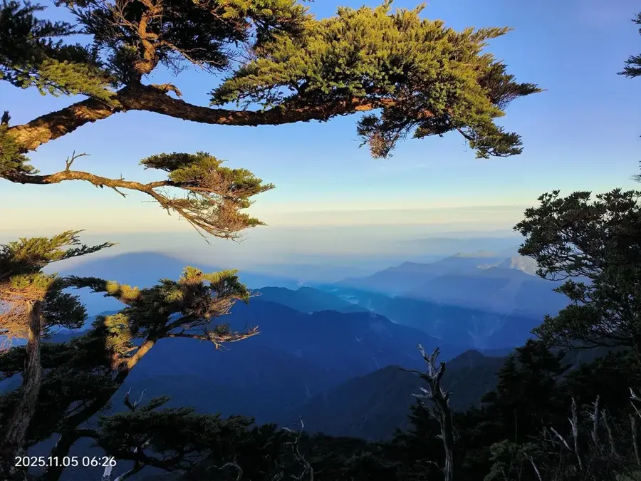
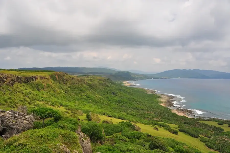
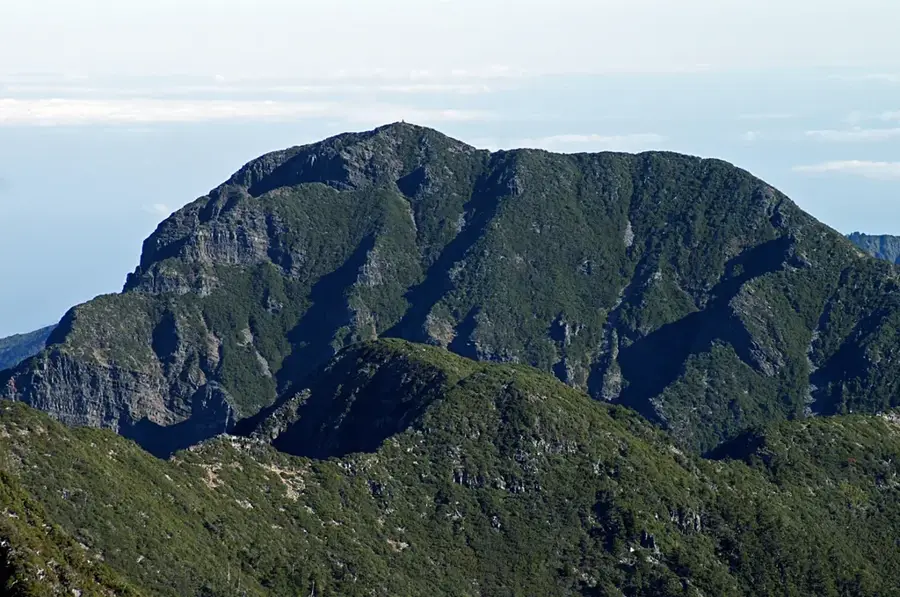
Nature
More places