Plizio Visual Lab
Dajianshan
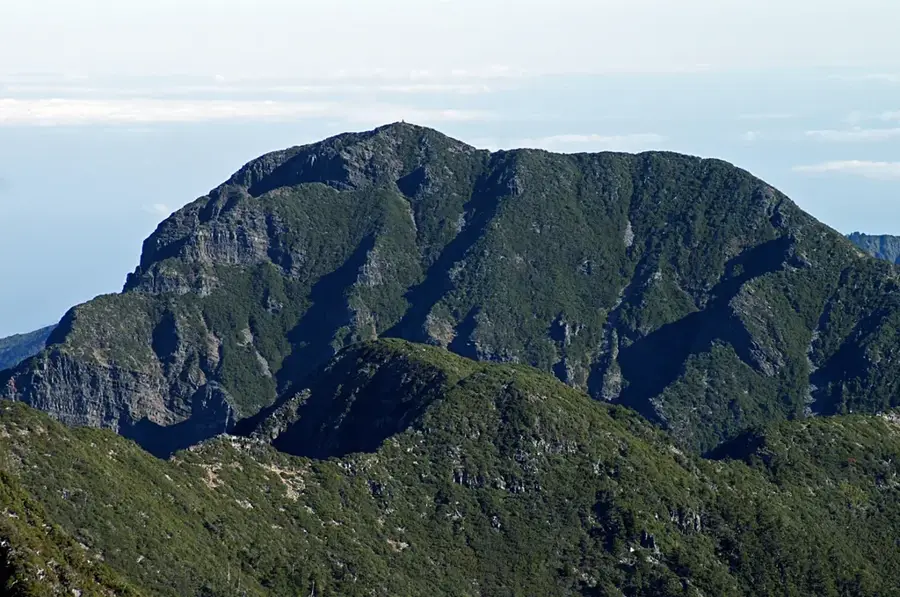
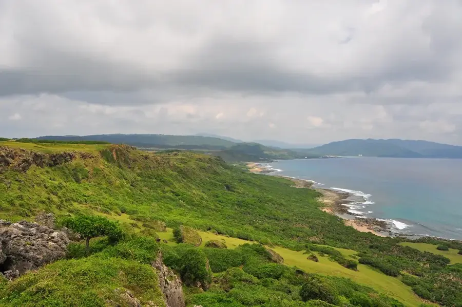
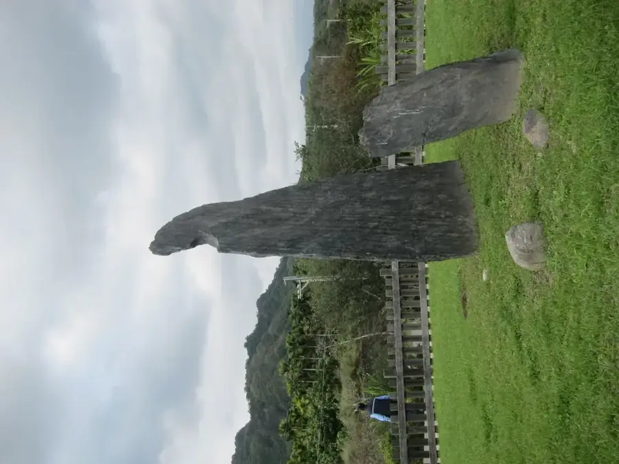
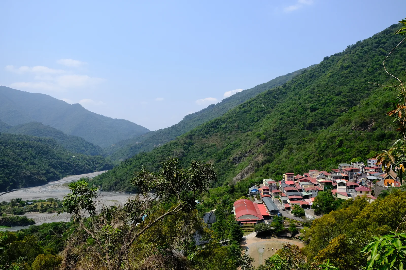
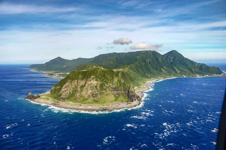
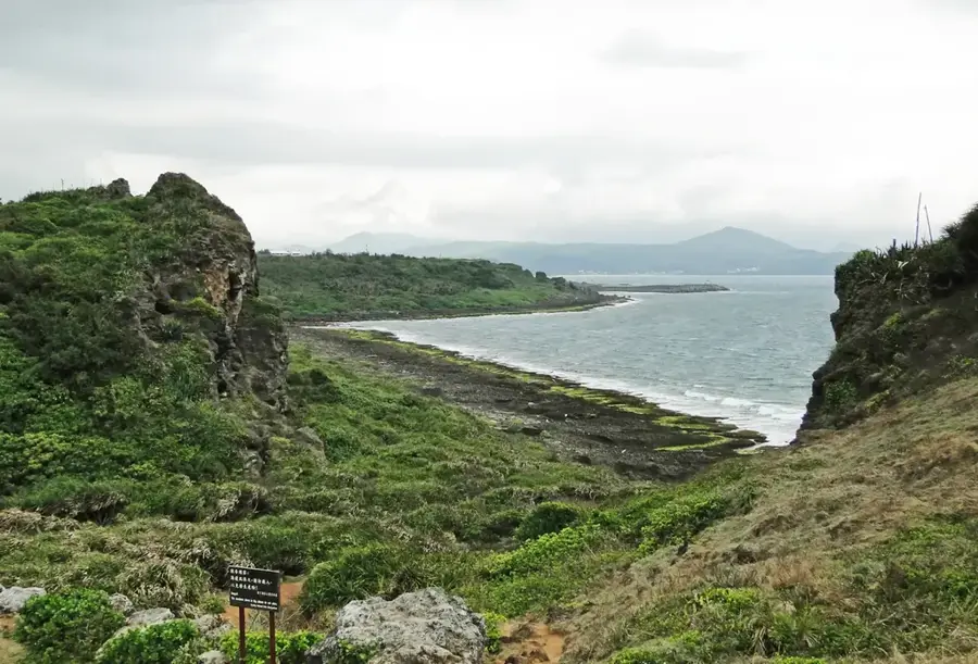
Dajianshan is one of the most distinctive geological landmarks in Kenting National Park, located at the southern tip of Taiwan. Standing at an elevation of 318 meters, it is not a giant by mountain standards, yet it stands out sharply from the surrounding coastal plain due to its isolated position and rugged, rocky profile. Geologically, it is an erosion-resistant limestone pillar that emerged from the peninsula's ancient coral reef formations. The mountain is an iconic symbol of the Hengchun region and has long served as a prominent navigational landmark for sailors. Historically, climbing to the summit was a popular local tradition, but today direct access is restricted to protect the fragile ecosystem and ensure public safety. The flora at the base consists of tropical dry forests and grasslands that provide a habitat for numerous butterfly species. Today, Dajianshan is a favorite subject for photographers and a testament to the unique meeting of marine and terrestrial landscapes in Kenting. Its silhouette dominates the Kenting skyline and is visible from nearly every point along the nearby coast.
- Location: Taiwan
- Top sights: Verdant Pavilion · Skyward Pavilion · Sail Rock
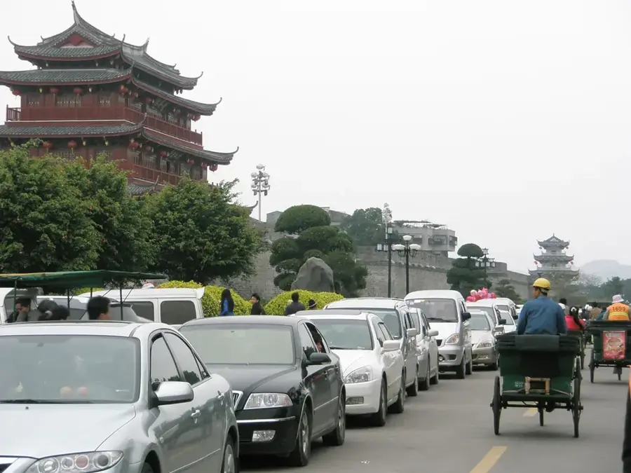
- Nearby: Hengchun (8 km)
Best time to visit & climate
The most pleasant time to visit is Jan–Mar.
| Jan | Feb | Mar | Apr | May | Jun | Jul | Aug | Sep | Oct | Nov | Dec | |
|---|---|---|---|---|---|---|---|---|---|---|---|---|
| Avg °C | 22 | 23 | 24 | 26 | 27 | 29 | 29 | 29 | 28 | 27 | 25 | 23 |
| Rain mm | 42 | 35 | 42 | 55 | 175 | 258 | 299 | 407 | 266 | 105 | 78 | 56 |
📋 Practical info
Geography
Facts
- The peak stands at an elevation of 3,18 meters.
- It is geologically composed of uplifted coral reef limestone.
- The mountain is located within Kenting National Park.
- The summit has been officially closed to hikers since the 1990s for conservation.
- Its shape resembles a sharp peak or blade from certain vantage points.
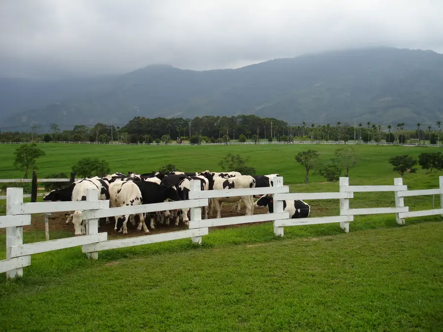
- The surrounding grasslands are known for herds of grazing water buffalo.
Explore nearby
Notable places around
Route planner — Car & Motorhome
Where do you start? We build the route here, with stops and country notes along the way.
© OpenStreetMap contributors · OpenRouteService
Sights in the town Dajianshan (6)
Sights nearby
Frequently asked questions
What makes Dajianshan special?
Is the trail to the summit well-marked?
What equipment is necessary?
Can you take photos at Dajianshan?
Is there any food service available?
Dajianshan: where is it located?
Dajianshan: what is there to see?
Dajianshan: when is the best time to visit?
Dajianshan: why is it worth visiting?

Nearby cities


History & landmarks

Nature
More places