Plizio Visual Lab
Shei-Pa National Park
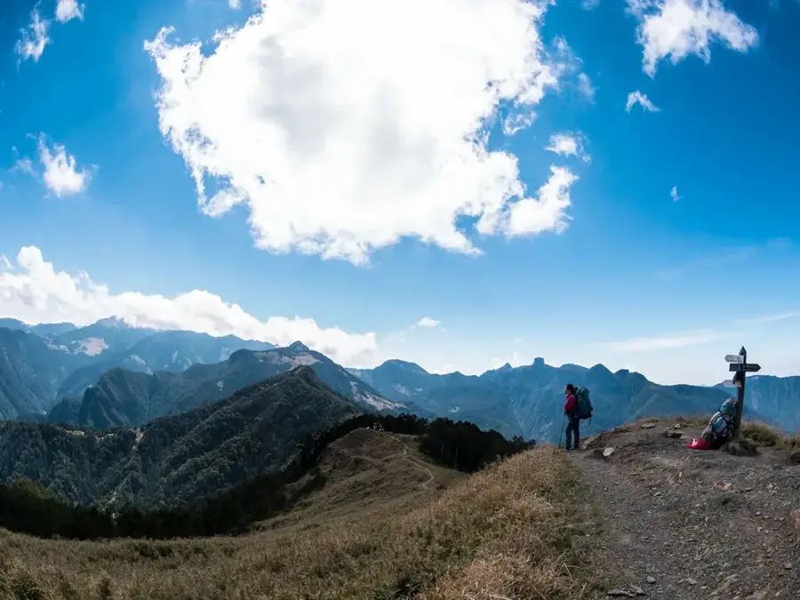
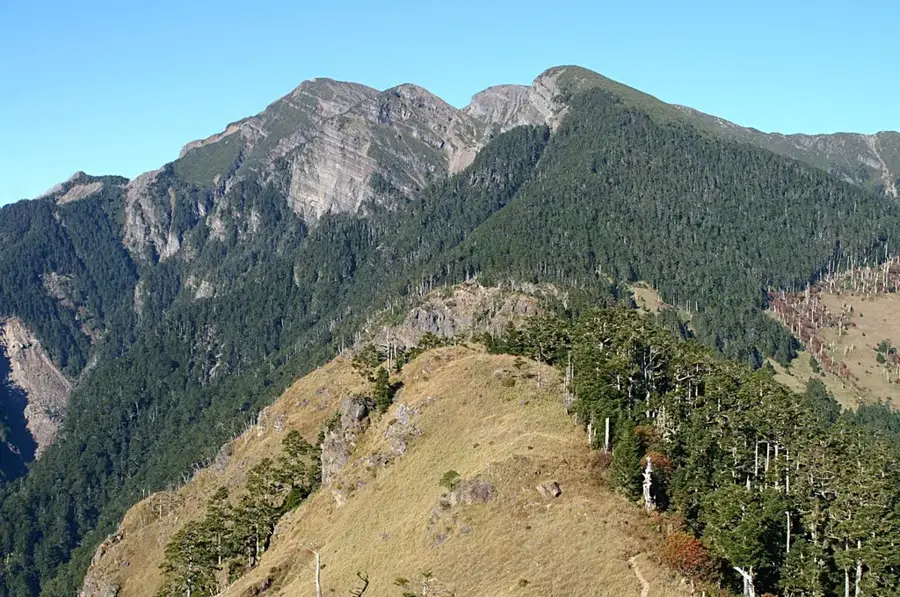
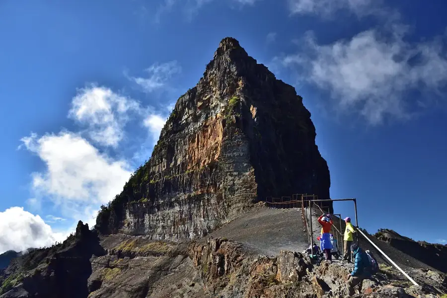
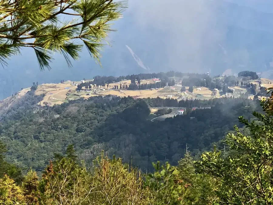
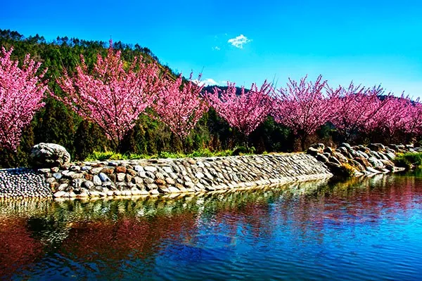
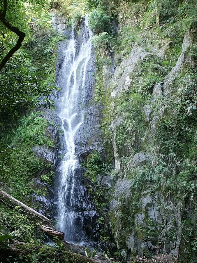
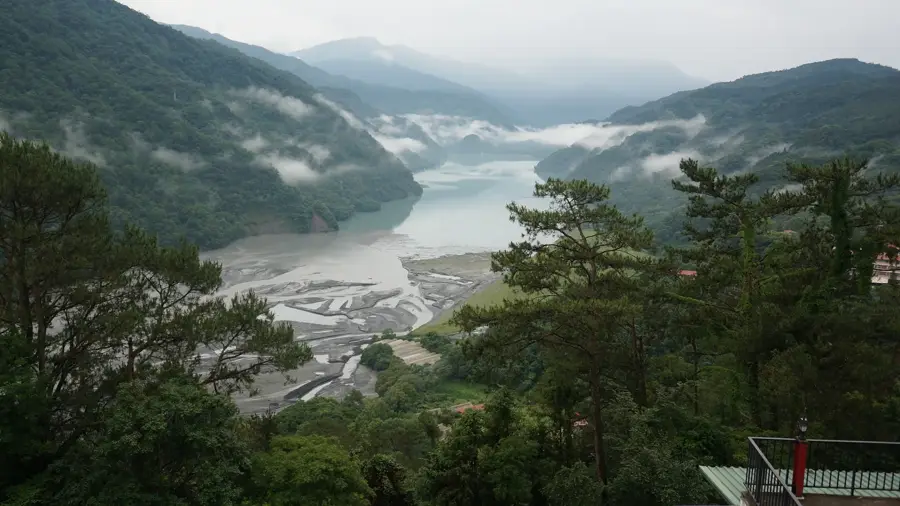
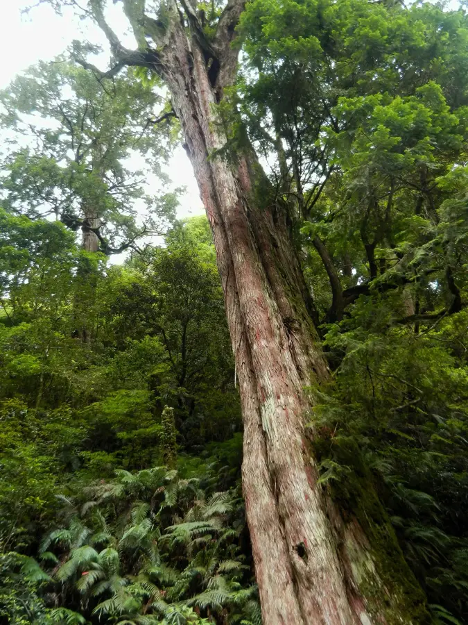
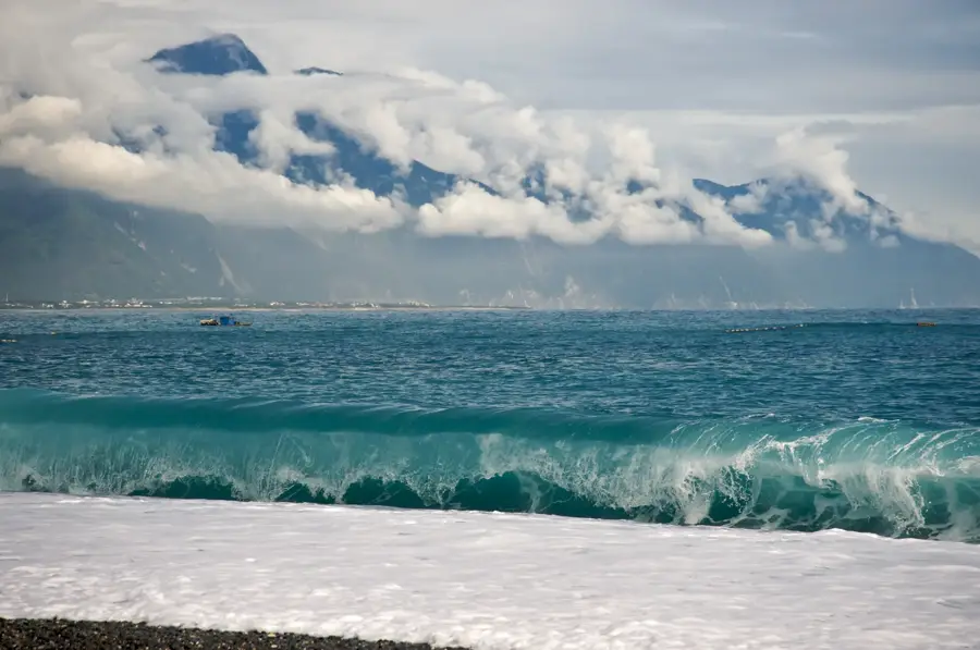
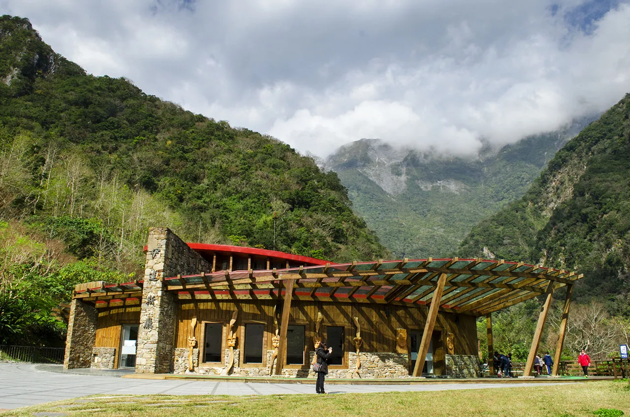
Shei-Pa National Park spans the central mountain range of Taiwan, encompassing parts of Hsinchu, Miaoli, and Taichung counties. Established in 1992, the park is named after its two most prominent peaks: Mount Xue (Snow Mountain) and Mount Dabajian. The region is characterized by extreme topography, featuring over 50 peaks that exceed the 3,000-meter mark. An ecological highlight is the conservation of the critically endangered Formosan landlocked salmon, which inhabits the cool highland rivers such as Qijiawan Creek. The flora varies significantly with elevation, ranging from subtropical rainforests to alpine tundras and ancient cypress stands. For mountaineers, the park provides challenging routes through some of East Asia's most pristine landscapes, distinguished by steep cliffs and deep gorges.
- Location: Taiwan
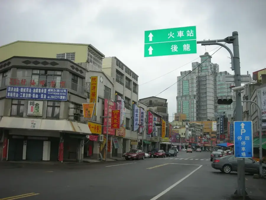
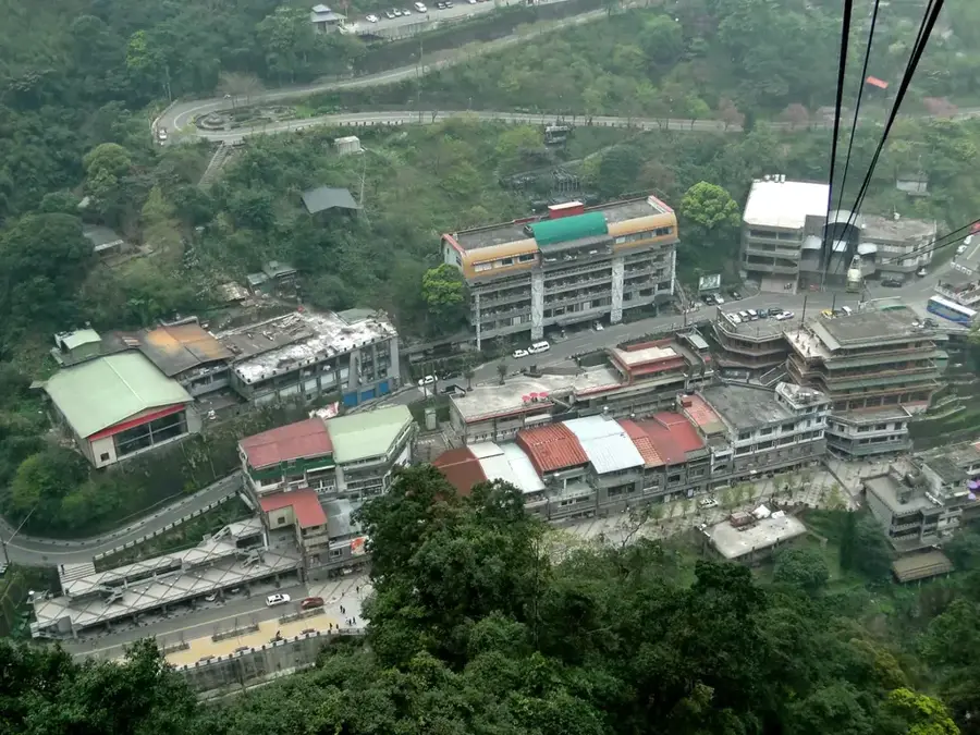
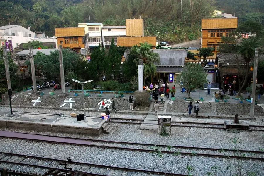
- Nearby: Smangus (16 km)
Best time to visit & climate
The most pleasant time to visit is Apr, Jul, Oct.
| Jan | Feb | Mar | Apr | May | Jun | Jul | Aug | Sep | Oct | Nov | Dec | |
|---|---|---|---|---|---|---|---|---|---|---|---|---|
| Avg °C | 10 | 11 | 13 | 17 | 20 | 21 | 22 | 22 | 21 | 17 | 15 | 11 |
| Rain mm | 94 | 89 | 130 | 129 | 270 | 303 | 183 | 311 | 307 | 151 | 139 | 104 |
📋 Practical info
Geography
Facts
- Established on July 1, 1992, covering an area of 76,850 hectares.
- Mount Xue is the second highest mountain in Taiwan at 3,886 meters.
- Home to the Formosan landlocked salmon, a glacial relict species.
- Contains 51 peaks that are over 3,000 meters in elevation.
- Mount Dabajian (3,492 m) is considered a sacred mountain by the Atayal people.
- Qijiawan Creek is a strictly protected area for rare fish conservation.
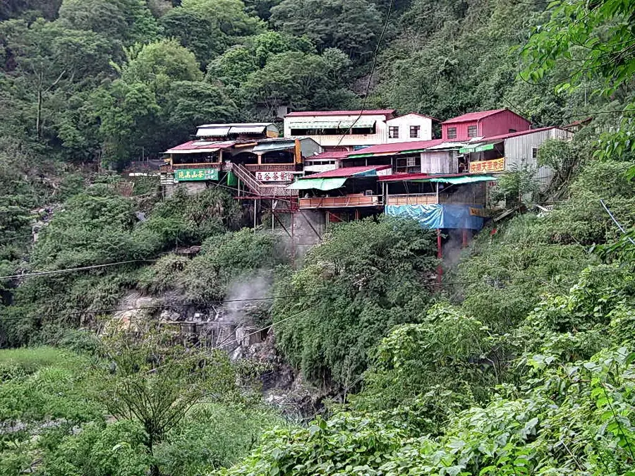
Explore nearby
Notable places around
Route planner — Car & Motorhome
Where do you start? We build the route here, with stops and country notes along the way.
© OpenStreetMap contributors · OpenRouteService
Sights in the town Shei-Pa National Park (1)
Sights nearby
Frequently asked questions
What is Shei-Pa particularly known for?
Is good fitness required?
What is the best way to travel?
Are there dangerous animals there?
Do I need warm clothes in summer?
Shei-Pa National Park: where is it located?
Shei-Pa National Park: when is the best time to visit?
Shei-Pa National Park: why is it worth visiting?

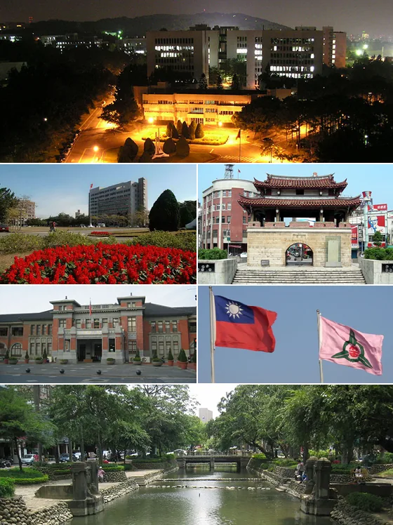
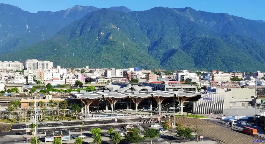
Nearby cities


History & landmarks
Nature
More places