Plizio Visual Lab
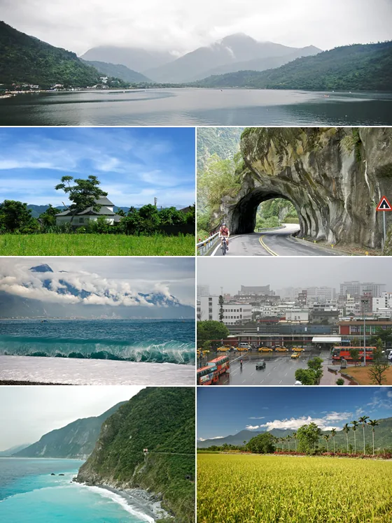
Taroko Gorge
Weather…
Water temperature…
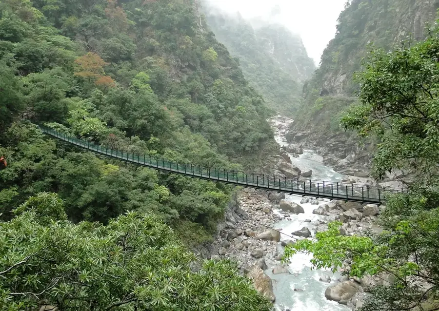
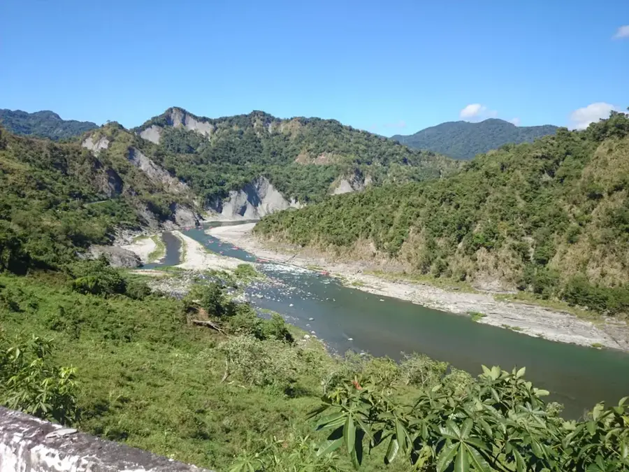
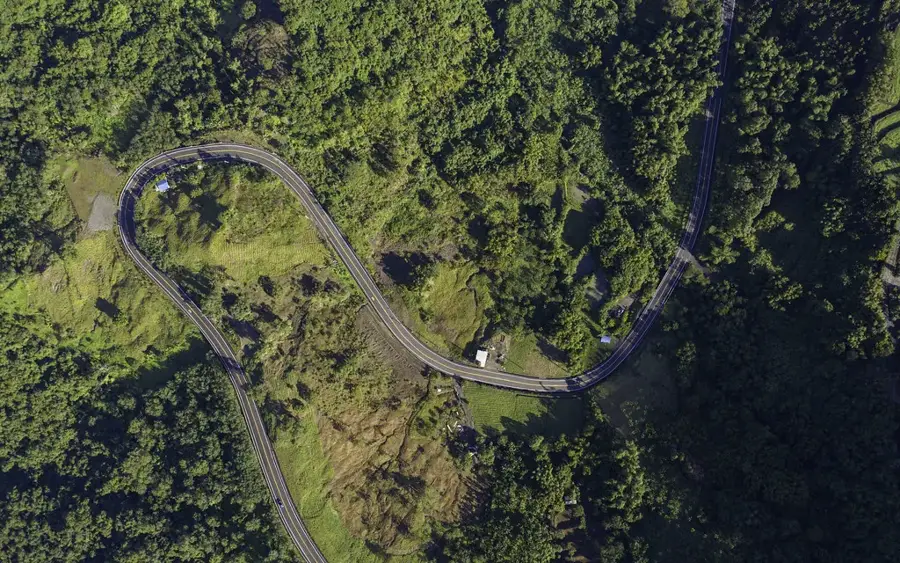
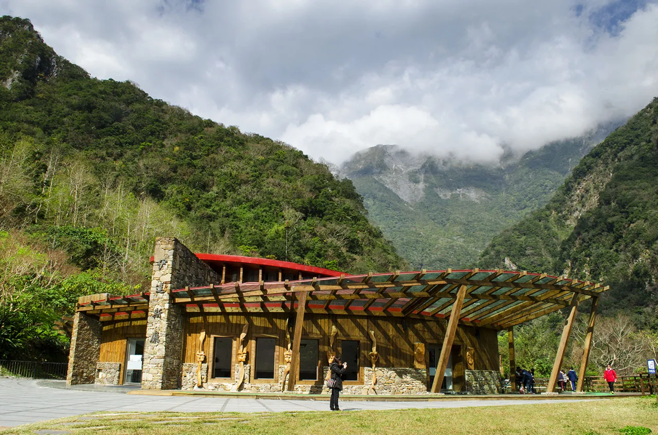
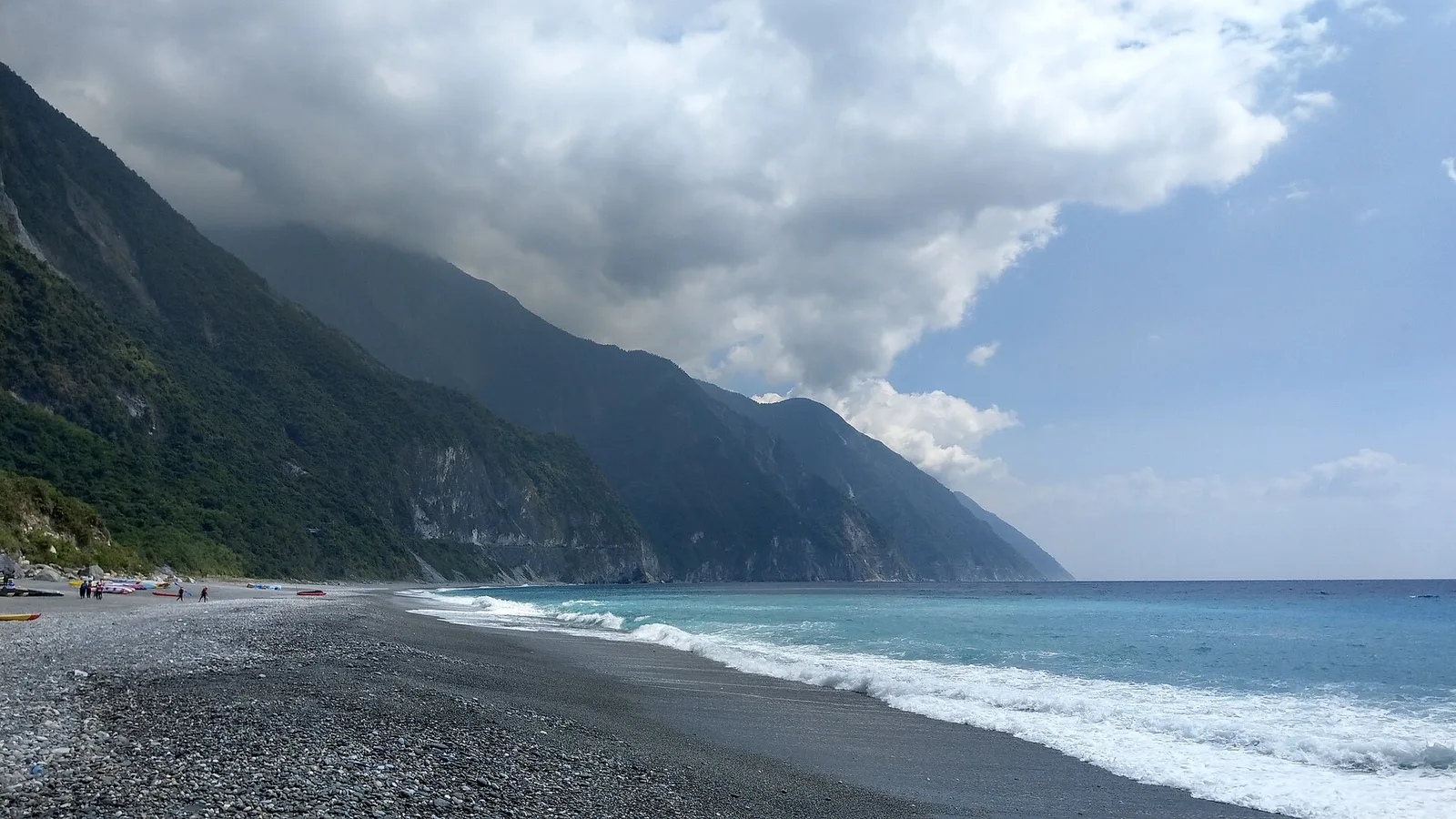
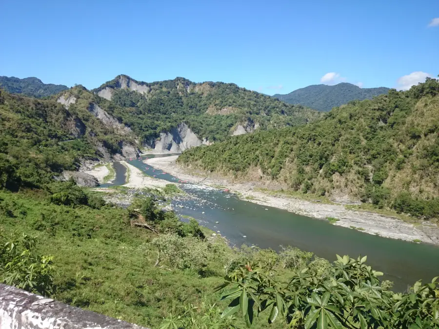
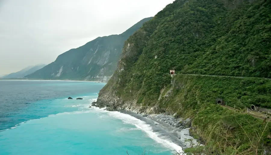
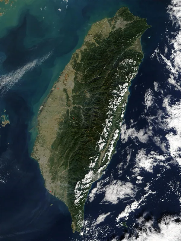
Taroko Gorge is a 19-km-long marble canyon in eastern Taiwan, carved by the Liwu River within Taroko National Park (established 1986, 920 km²). The gorge reaches depths of up to 1,000 m, with walls composed primarily of metamorphic marble formed during the collision of the Eurasian and Philippine Sea plates. The area is the traditional home of the Truku indigenous people. The Central Cross-Island Highway (Provincial Highway 8) was built through the gorge between 1956 and 1960, a project that claimed over 200 lives. Highlights include the Eternal Spring Shrine (built 1958), the Tunnel of Nine Turns (completed 1970), and the Swallow Grotto. The park hosts over 1,100 plant species and iconic wildlife like the Formosan black bear and macaque. Annual precipitation exceeds 3,000 mm, supporting lush forests. Tourism is a major economic driver, with about 4 million annual visitors, but the park also serves critical watershed and conservation functions.
- Location: Taiwan
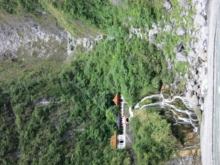
- Top sights: Xiangde Temple · ChangChun Shrine · Jinheng bridge
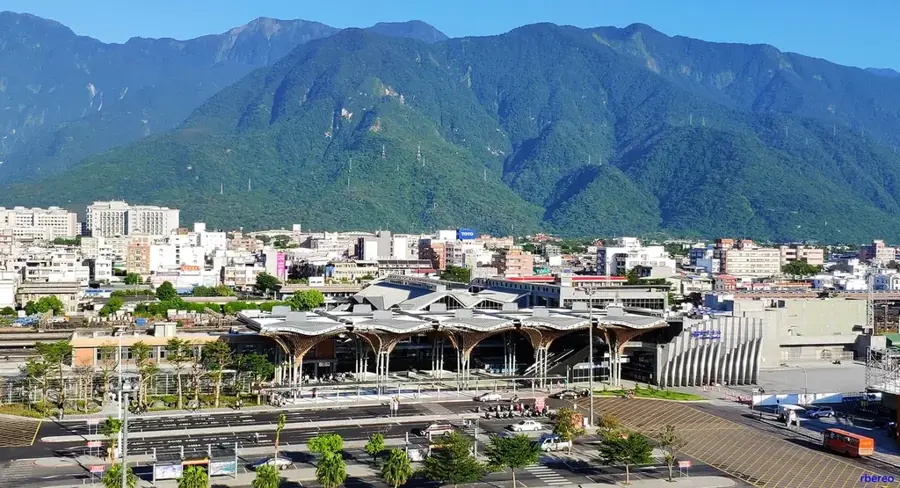
- Nearby: Xiulin (12 km)
Best time to visit & climate
The most pleasant time to visit is Apr, Oct, Nov.
| Jan | Feb | Mar | Apr | May | Jun | Jul | Aug | Sep | Oct | Nov | Dec | |
|---|---|---|---|---|---|---|---|---|---|---|---|---|
| Avg °C | 11 | 12 | 14 | 17 | 20 | 21 | 22 | 21 | 20 | 18 | 15 | 12 |
| Rain mm | 75 | 69 | 99 | 114 | 261 | 295 | 210 | 327 | 287 | 130 | 106 | 73 |
📋 Practical info
Geography
Facts
- Gorge length: 19 km along Liwu River.
- Taroko National Park established 1986, area 920 km².
- Maximum gorge depth: 1,000 m.
- Highway construction (1956-1960) caused over 200 fatalities.
- Eternal Spring Shrine built in 1958.
- Annual visitors: approximately 4 million.
Explore nearby
Notable places around
Route planner — Car & Motorhome
Where do you start? We build the route here, with stops and country notes along the way.
© OpenStreetMap contributors · OpenRouteService
Sights in the town Taroko Gorge (11)
Sights nearby
Frequently asked questions
Is hiking in Taroko Gorge dangerous?
Is a permit needed for hiking?
How long is the visit?
Is food available in the national park?
Is it suitable for families?
Taroko Gorge: where is it located?
Taroko Gorge: what is there to see?
Taroko Gorge: when is the best time to visit?
Taroko Gorge: why is it worth visiting?

Nearby cities
Nature
More places