Plizio Visual Lab
Pintianshan

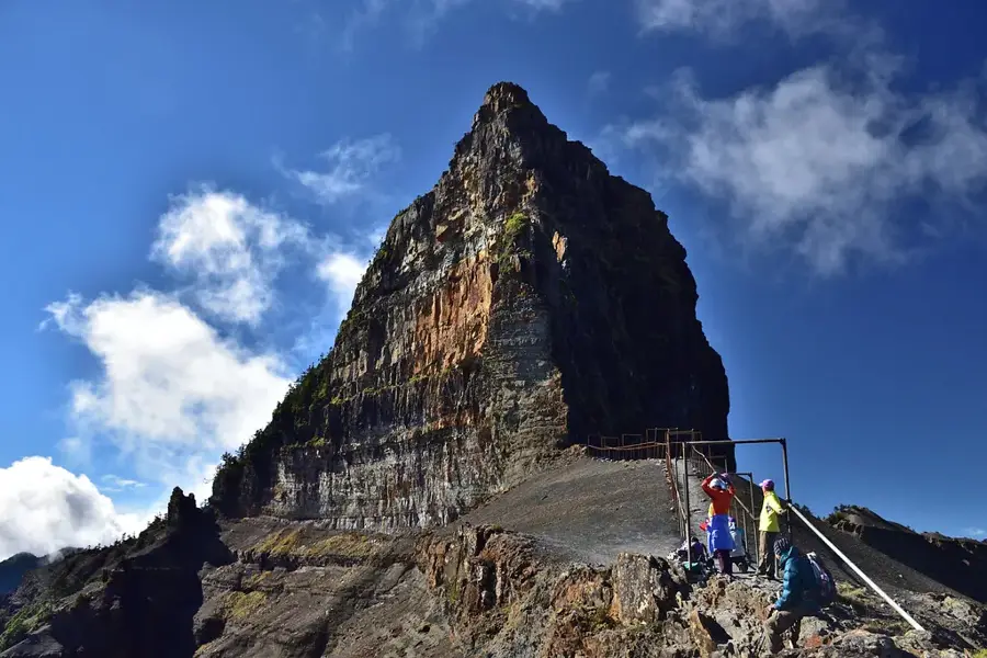
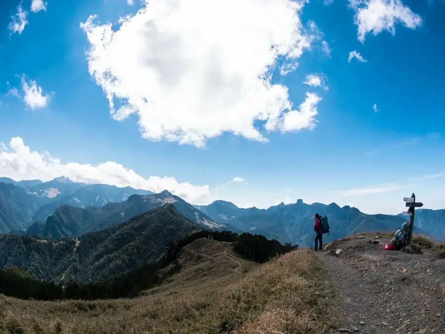
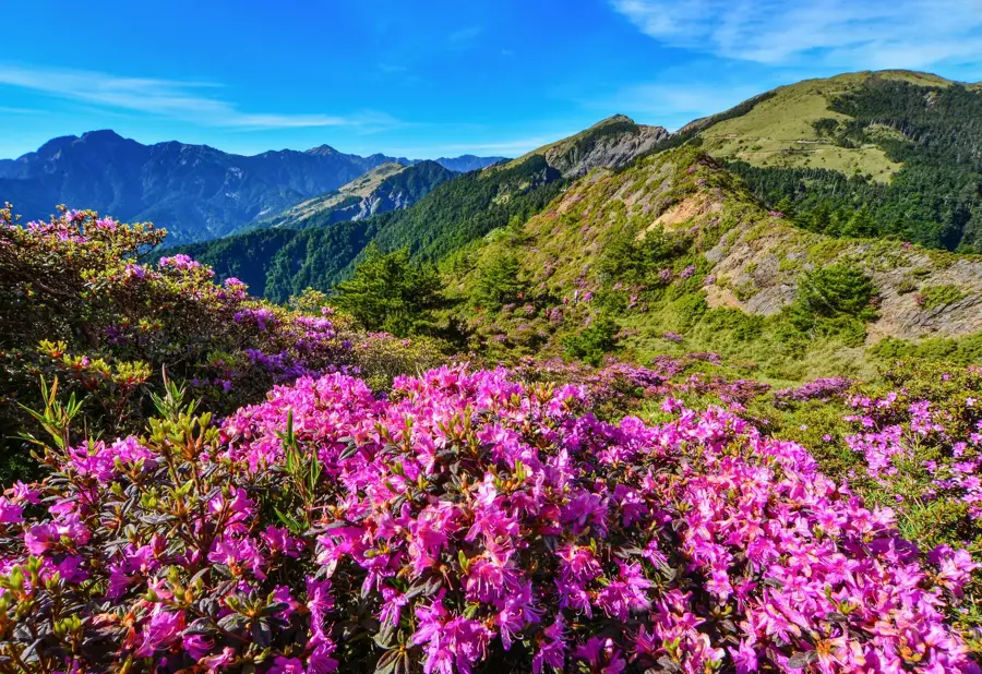
Pintianshan, rising to 3,524 meters, is one of the most visually striking peaks in Shei-Pa National Park and a key segment of Taiwan's famous "Holy Ridge." The mountain is internationally renowned for its spectacular geological folds, where rock strata have been compressed into near-rectangular patterns. These formations resulted from the immense tectonic pressure generated by the collision of the Philippine Sea Plate and the Eurasian Plate millions of years ago. As the westernmost of the "Four Peaks of Wuling," it presents a significant technical challenge for mountaineers due to its exposed and rocky terrain. Historically, the area served as a vital hunting ground for the indigenous Atayal people, who hold a deep spiritual reverence for these high altitudes. The vegetation consists of alpine heaths and endemic Taiwan juniper, which have adapted to the extreme wind conditions. Today, Pintianshan is a major destination for geologists and experienced hikers alike. Its summit gives an unparalleled view of the iconic nearby Dabajianshan massif.
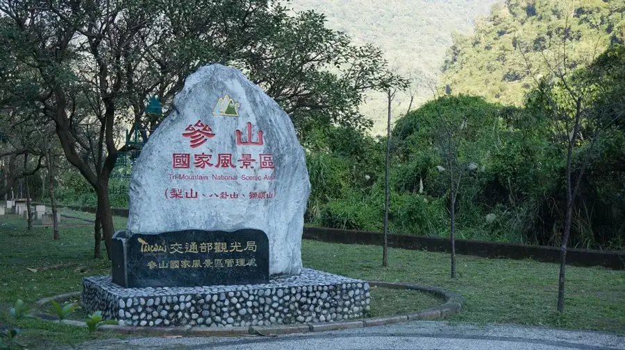
- Location: Taiwan
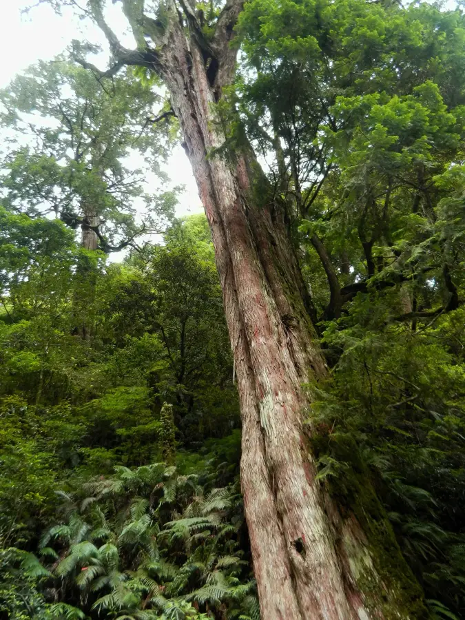
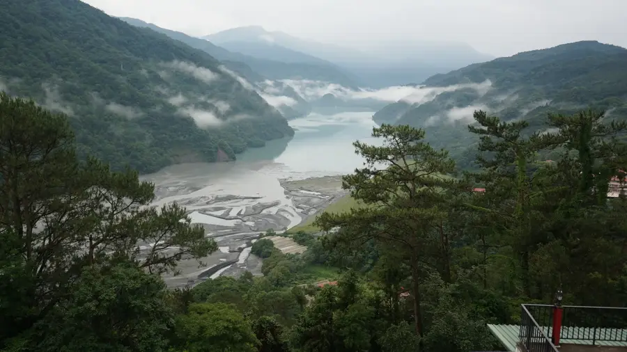
- Top sights: Taoshan · Chryou Shan · Pool famous tree
- Nearby: Smangus (12 km)
Best time to visit & climate
The most pleasant time to visit is Apr, Jul, Oct.
| Jan | Feb | Mar | Apr | May | Jun | Jul | Aug | Sep | Oct | Nov | Dec | |
|---|---|---|---|---|---|---|---|---|---|---|---|---|
| Avg °C | 10 | 11 | 13 | 17 | 20 | 21 | 22 | 22 | 21 | 17 | 15 | 11 |
| Rain mm | 94 | 89 | 130 | 129 | 270 | 303 | 183 | 311 | 307 | 151 | 139 | 104 |
📋 Practical info
Geography
Facts
- The summit stands at an elevation of 3,524 meters.
- It is famous for its near-perpendicular geological rock folds.
- The peak is part of the popular 'Wuling Quad' hiking route.
- Geologically, it is composed of uplifted marine sedimentary rocks.
- The name Pintianshan translates to 'Folded Field Mountain'.
- Hikers must navigate steep, rocky cliffs to reach the highest point.
Explore nearby
Notable places around
Route planner — Car & Motorhome
Where do you start? We build the route here, with stops and country notes along the way.
© OpenStreetMap contributors · OpenRouteService
Sights in the town Pintianshan (4)
Sights nearby
Frequently asked questions
What is the difficulty level?
Are permits required?
Are there huts there?
How is the weather?
Can I do the tour alone?
Pintianshan: where is it located?
Pintianshan: what is there to see?
Pintianshan: when is the best time to visit?
Pintianshan: why is it worth visiting?

Nearby cities

History & landmarks
Nature
More places