Plizio Visual Lab
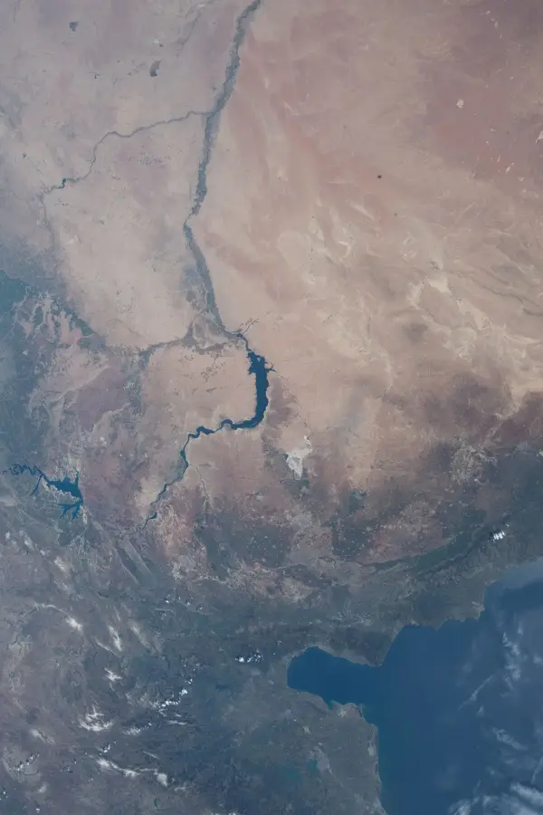
Lake Qattinah
Weather…
Water temperature…
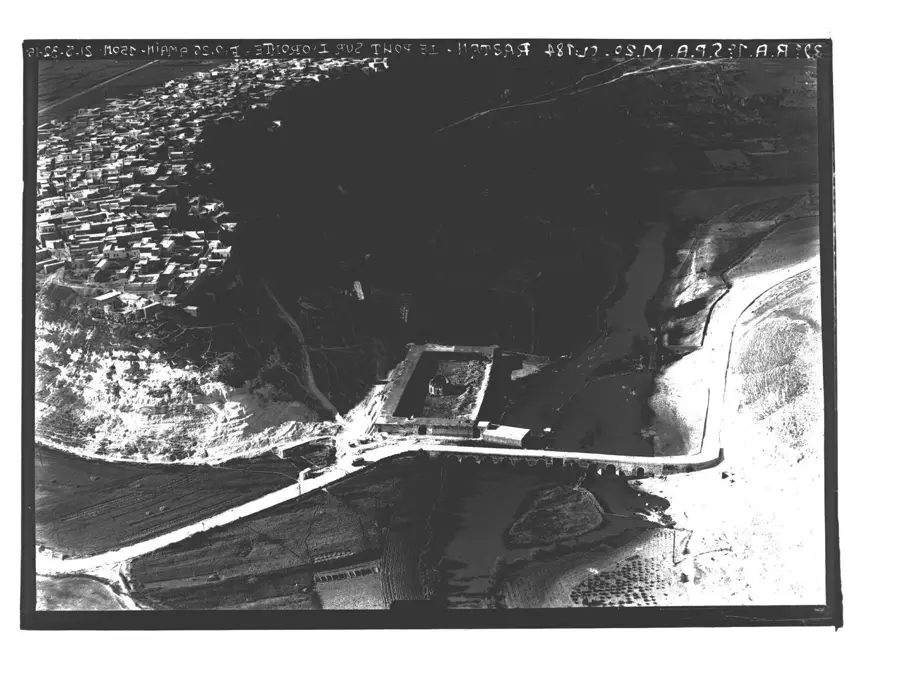
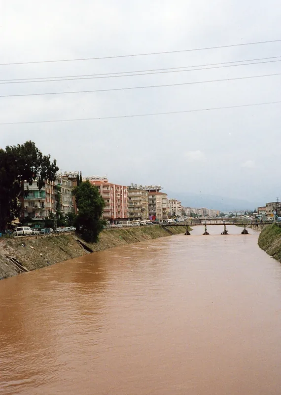
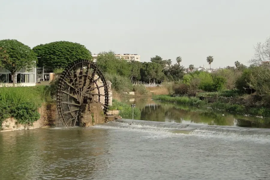
Lake Qattinah, situated approximately 15 kilometers southwest of the city of Homs in central Syria, is a historically significant artificial reservoir formed by one of the world's oldest functional dams. The original dam across the Orontes River has historical attributions ranging from the Egyptian Pharaoh Seti I to the Roman Emperor Diocletian in 284 AD, who is more commonly credited with its construction. This engineering feat was primarily designed to regulate the flow of the river and provide a reliable water source for the surrounding agricultural plains, which remain vital to the region's economy today. The lake covers an area of roughly 60 square kilometers and serves as a crucial habitat for various local bird species and aquatic life, despite modern challenges posed by industrial runoff from nearby urban centers. Recent renovations have reinforced the structure, ensuring that the ancient irrigation system continues to support the intensive cultivation of crops such as sugar beets and cotton in the fertile Homs gap. Its longevity as a working piece of infrastructure makes it a unique example of ancient hydraulic engineering that has successfully adapted to modern needs over nearly two thousand years.
- Location: Syria
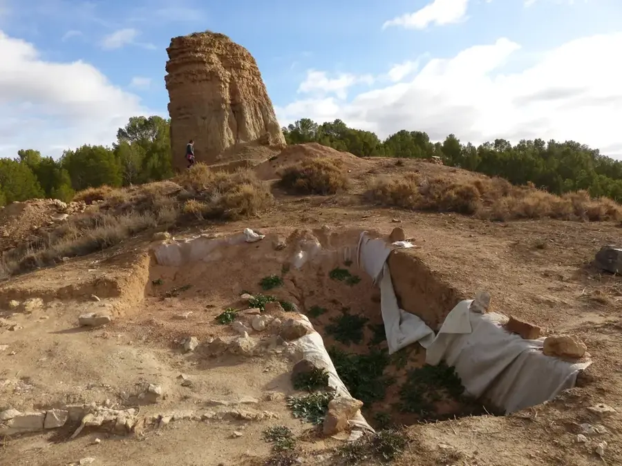
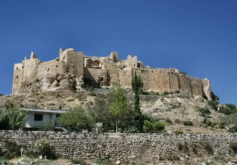
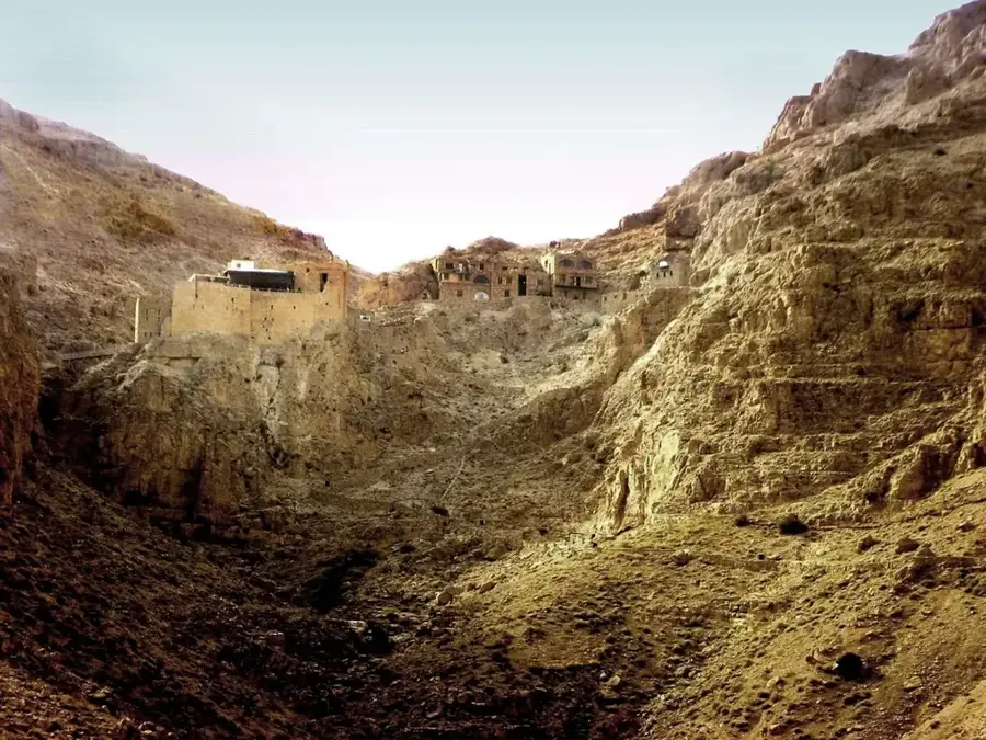
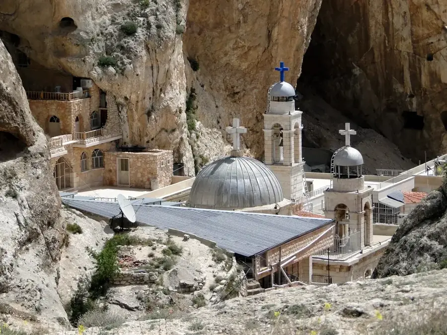
- Top sights: Tall Husayn · Khirbat Tineiss · Khirbat ar Ram
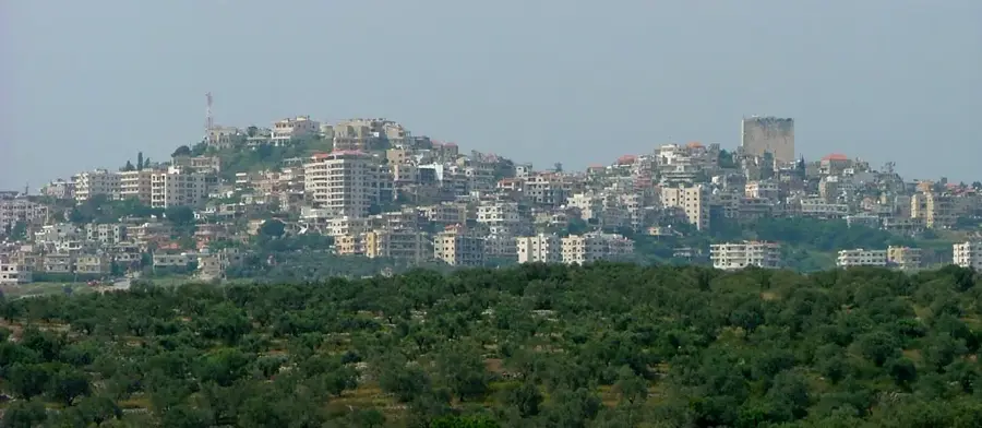
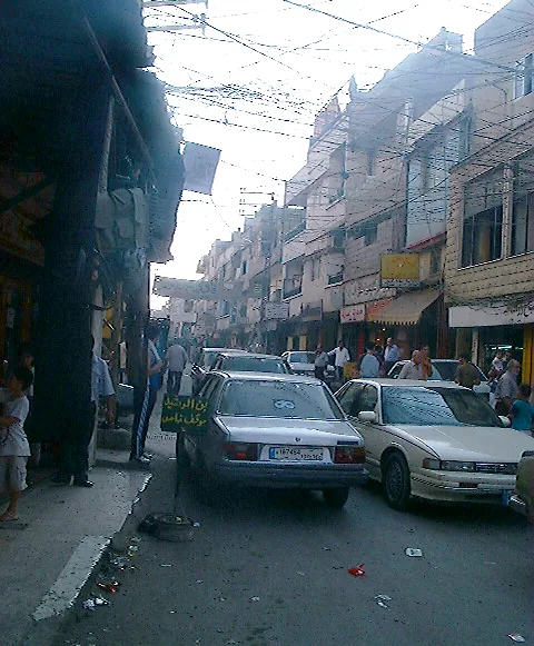
- Nearby: Homs (9 km)
Best time to visit & climate
The most pleasant time to visit is May, Jun, Sep.
| Jan | Feb | Mar | Apr | May | Jun | Jul | Aug | Sep | Oct | Nov | Dec | |
|---|---|---|---|---|---|---|---|---|---|---|---|---|
| Avg °C | 6 | 7 | 10 | 14 | 19 | 23 | 25 | 25 | 23 | 19 | 13 | 8 |
| Rain mm | 91 | 68 | 44 | 24 | 12 | 4 | 1 | 1 | 9 | 23 | 46 | 71 |
📋 Practical info
Geography
Facts
- The dam was significantly expanded in 284 AD during the reign of Emperor Diocletian.
- The lake covers a total surface area of approximately 60 square kilometers.
- The ancient structure has provided irrigation for the Homs plain for nearly 1,700 years.
- The main dam structure is about 2 kilometers long and 7 meters in height.
- The reservoir is fed by the Orontes River, which flows north from Lebanon into Syria.
- The nearby archaeological site of Tell Nebi Mend is identified as the ancient city of Kadesh.
Explore nearby
Notable places around
Route planner — Car & Motorhome
Where do you start? We build the route here, with stops and country notes along the way.
© OpenStreetMap contributors · OpenRouteService
Sights in the town Lake Qattinah (3)
Sights nearby
Frequently asked questions
Where is Lake Qattinah located?
Was it formed naturally?
Can one picnic by the lake?
Are there fish in the lake?
Is the lake easily accessible?
Lake Qattinah: where is it located?
Lake Qattinah: what is there to see?
Lake Qattinah: when is the best time to visit?
Lake Qattinah: why is it worth visiting?

Nearby cities
History & landmarks
Nature

More places