Plizio Visual Lab
Tigris
Weather…
Water temperature…
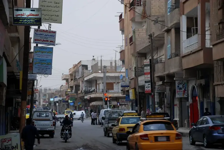
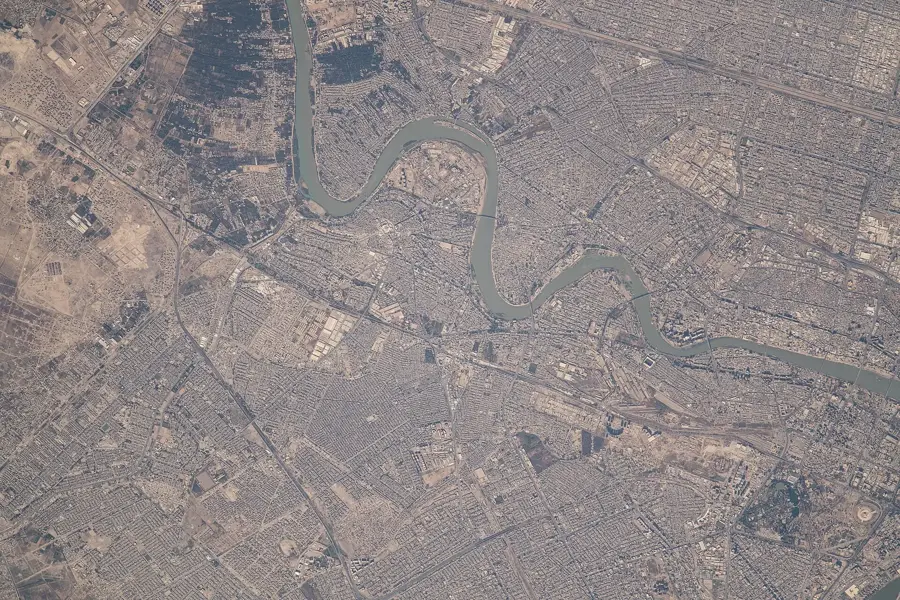
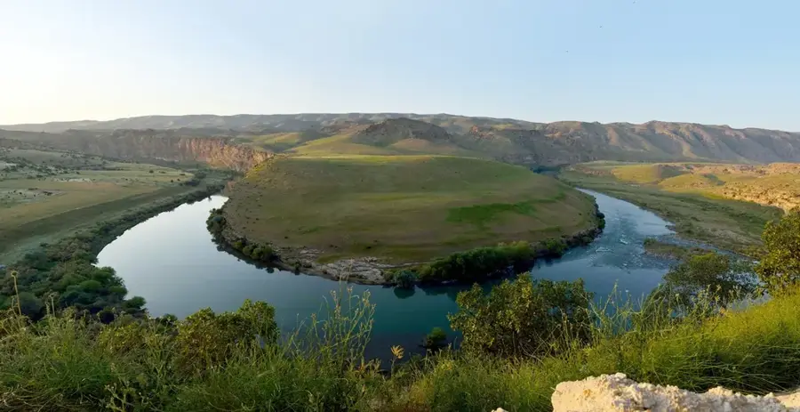
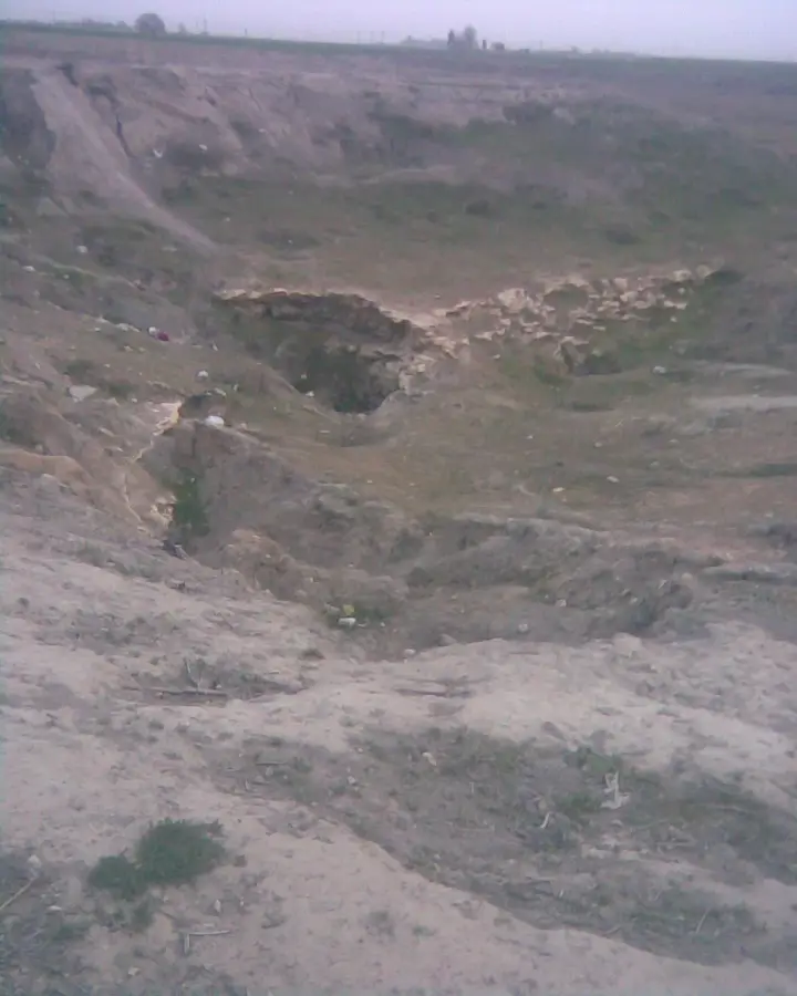
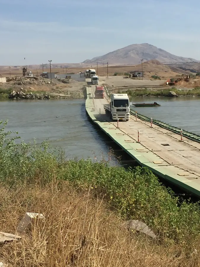
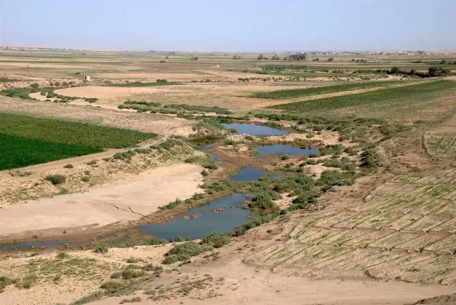
The Tigris River touches Syrian territory for only a brief stretch of about 44 kilometers in the extreme northeast of the country, where it forms a significant international border with Turkey and Iraq. This section is located in the al-Hasaka Governorate within the al-Jazira region and is of paramount importance to local agriculture. The river carries large volumes of water originating from the Taurus Mountains, providing a vital resource in an otherwise arid environment. Geomorphologically, the Tigris here is characterized by a wide riverbed and variable current speeds. Historically, the Tigris, along with the Euphrates, was the cradle of Mesopotamian civilizations, and the Syrian portion of the river lies in a region steeped in history. In recent years, projects have been initiated to utilize Tigris water for large-scale irrigation systems to enhance food security in northeastern Syria. Ecologically, the river course and its riparian zones provide a crucial habitat for numerous migratory birds and aquatic species reliant on water sources in the semi-desert landscape.
- Location: Syria
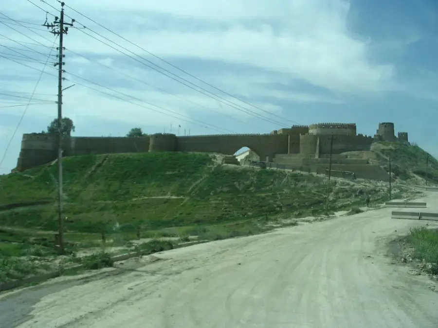
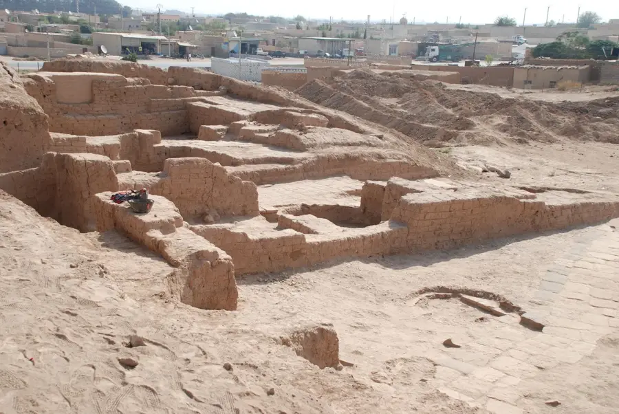
- Top sights: DEŞTA HESNA · Takyan Tepe · Amarsava Höyük
- Nearby: Al-Malikiyah (26 km)
Best time to visit & climate
The most pleasant time to visit is Apr, May, Oct.
| Jan | Feb | Mar | Apr | May | Jun | Jul | Aug | Sep | Oct | Nov | Dec | |
|---|---|---|---|---|---|---|---|---|---|---|---|---|
| Avg °C | 6 | 8 | 12 | 17 | 24 | 31 | 35 | 34 | 30 | 22 | 13 | 8 |
| Rain mm | 53 | 53 | 60 | 56 | 24 | 4 | 1 | 1 | 3 | 28 | 39 | 57 |
📋 Practical info
Geography
Facts
- The Tigris forms approximately 44 km of the border between Syria and Turkey.
- This river section is located in the Al-Malikiyah district of the Hasaka Governorate.
- The Tigris is the second-largest river in Western Asia after the Euphrates.
- The river's discharge is subject to more intense seasonal fluctuations than the Euphrates.
- Historically, the area around the Syrian Tigris is considered part of Upper Mesopotamia.
- The town of Ain Diwar is located near the point where the Tigris reaches Syrian territory.
Explore nearby
Notable places around
Route planner — Car & Motorhome
Where do you start? We build the route here, with stops and country notes along the way.
© OpenStreetMap contributors · OpenRouteService
Sights in the town Tigris (6)
Sights nearby
Frequently asked questions
What is the current of the Tigris like?
Can you walk along the river?
Are there tourist facilities?
Is the area safe?
When is the best time to travel?
Tigris: where is it located?
Tigris: what is there to see?
Tigris: when is the best time to visit?
Tigris: why is it worth visiting?

Nearby cities

History & landmarks
Nature
More places