Jam' el Kabir
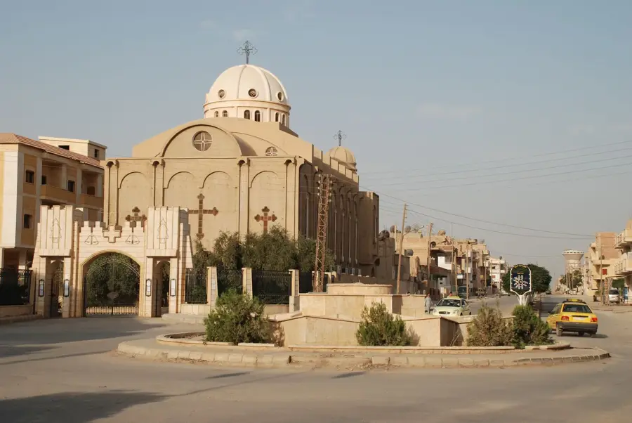
Grand Mosque in Khabur, central location for Muslim prayers.
Plizio Visual Lab
Weather…
Water temperature…
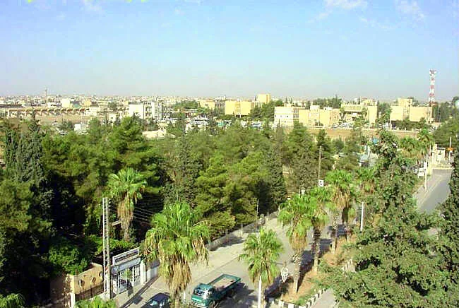
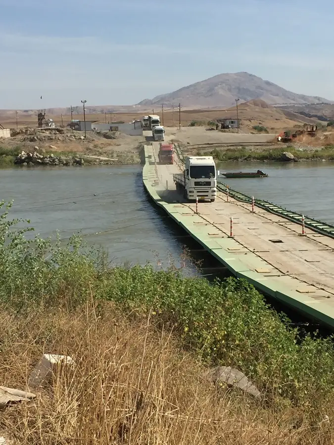
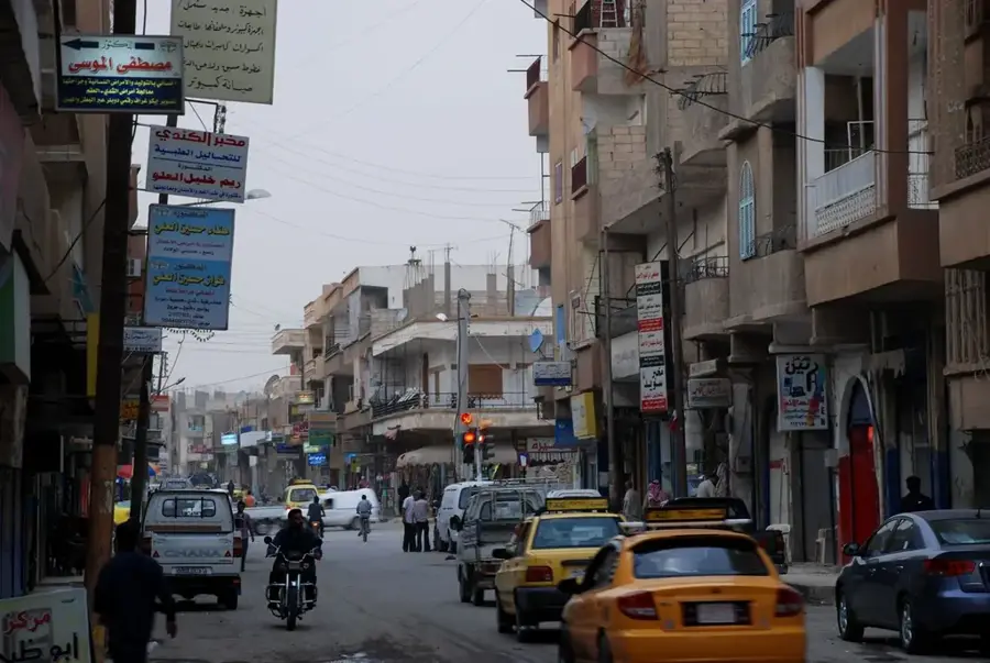
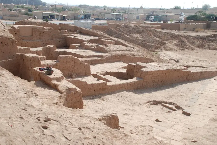
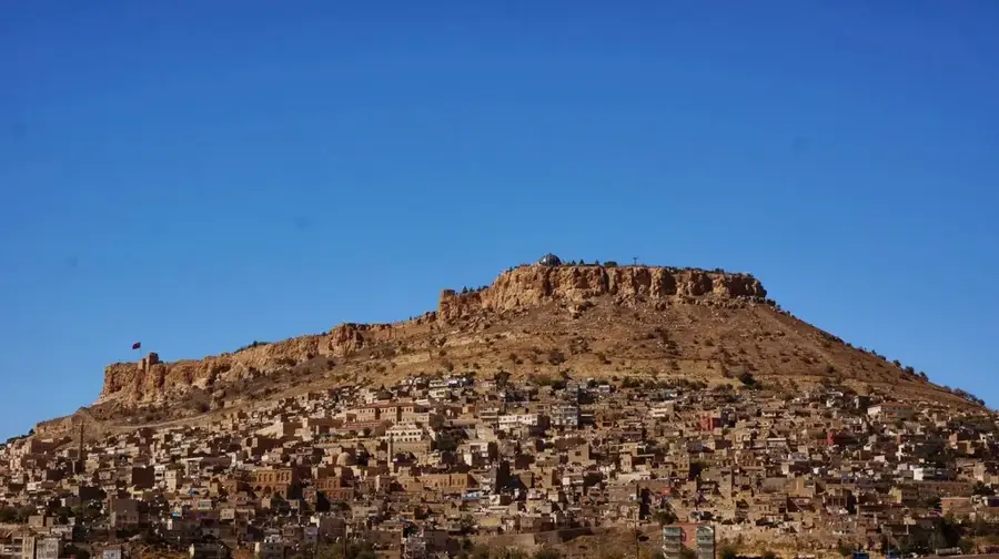
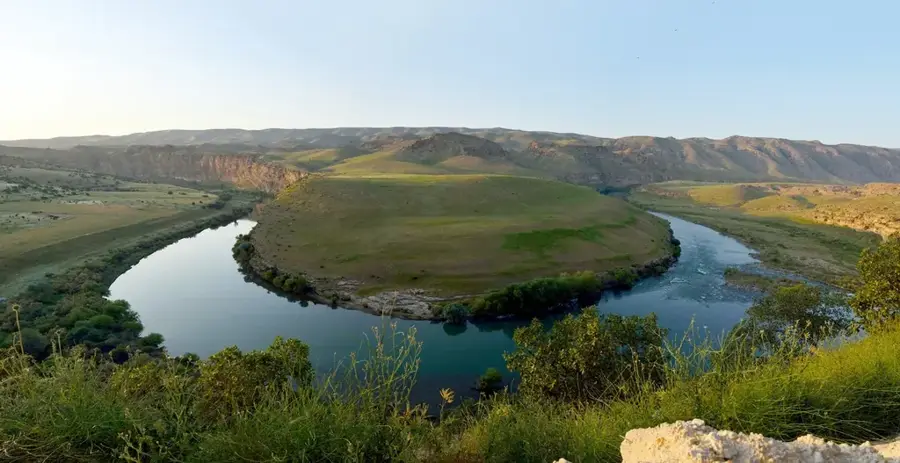
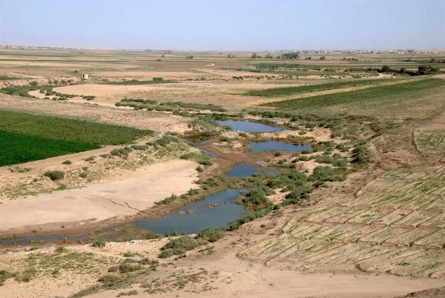
The Khabur is the largest perennial tributary of the Euphrates within Syrian territory, originating in the Ras al-Ayn region near the Turkish border. It flows through the Al-Hasakah Governorate in northeastern Syria, serving as the backbone of agriculture in the region often referred to as 'Al-Jazira' (the island). Geographically, the river is crucial for irrigating the vast plains of the fertile north, where wheat, cotton, and vegetables are grown on a large scale. Historically, the Khabur Valley was densely populated as early as the Bronze Age, hosting significant ancient settlements such as Tell Halaf and Tell Brak. The river's flow is regulated by several dams and canals constructed during large-scale development projects in the 1960s and 1970s. Ecologically, the Khabur acts as a vital corridor in an otherwise semi-arid landscape, supporting diverse riparian flora and fauna. In recent decades, however, the river has struggled with declining water levels due to excessive extraction and climatic shifts. Nevertheless, the Khabur remains a fundamental element of food security and regional identity in northeastern Syria.
The most pleasant time to visit is Apr, May, Oct.
| Jan | Feb | Mar | Apr | May | Jun | Jul | Aug | Sep | Oct | Nov | Dec | |
|---|---|---|---|---|---|---|---|---|---|---|---|---|
| Avg °C | 5 | 8 | 12 | 17 | 24 | 30 | 34 | 33 | 29 | 22 | 13 | 7 |
| Rain mm | 35 | 32 | 30 | 29 | 12 | 1 | 0 | 0 | 2 | 15 | 24 | 34 |
Notable places around
Where do you start? We build the route here, with stops and country notes along the way.
© OpenStreetMap contributors · OpenRouteService
Grand Mosque in Khabur, central location for Muslim prayers.
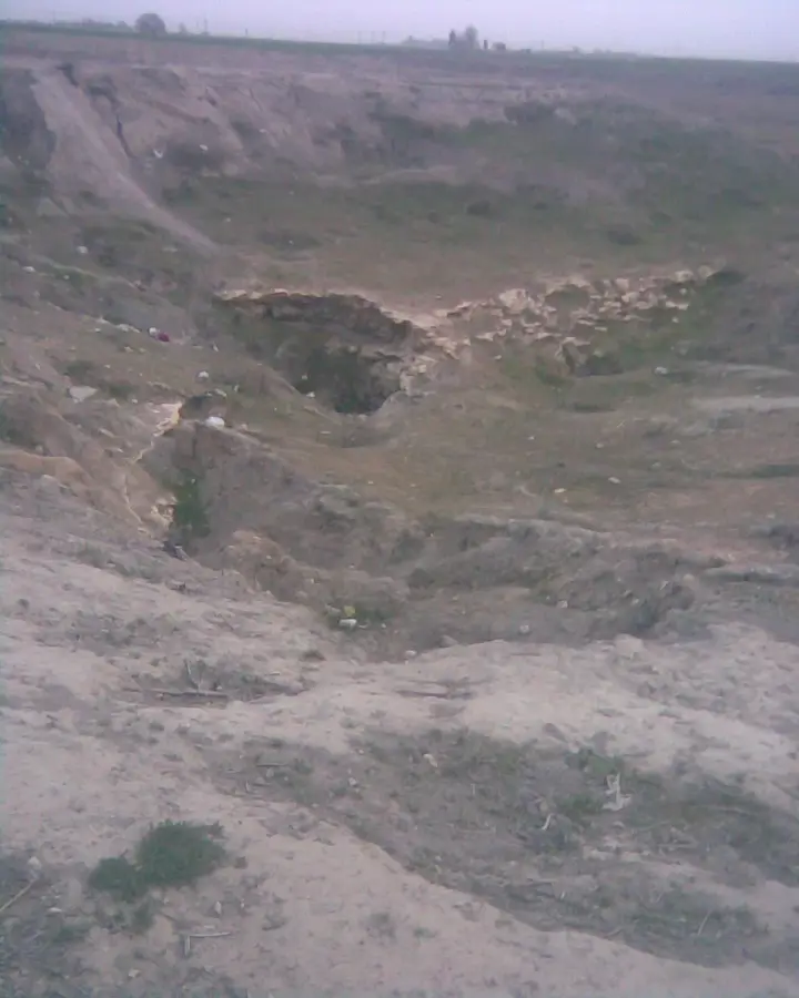
A monument in Khabur, commemorating a local event.