Plizio Visual Lab
Al-Malikiyah
ℹ️Practical info — Al-Malikiyah
▾
🌤 Weather — 5 days
📍 Nearby
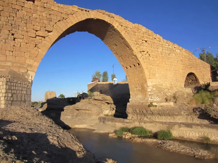
Sights nearby
💡 Tips
- As an agricultural hub, the local markets are most spirited in the early morning.
- The region hosts a mix of cultures and languages; a friendly demeanor goes a long way.
- Summers are hot and dry, so always carry plenty of bottled water.
- Ensure you have the latest local travel advisories before planning a trip to the northeast.
🍽 Food
A classic dish of spiced ground meat and bulgur, widely available in local eateries.
Freshly baked flatbreads topped with za'atar and olive oil from street bakeries.
Try the fresh, salty white cheeses produced in the surrounding agricultural areas.
🛍 Shopping · 🧘 Quiet spots
Buy fresh fruits, grains, and nuts directly from the farmers in the morning.
Small local shops sell fabrics and clothing typical of the diverse northeastern cultures.
The sprawling fields at the edge of the city offer a quiet walk during the cooler hours.
Sit in a quiet corner of a cafe, sipping strong tea and watching the slow pace of rural life.
Water temperature…
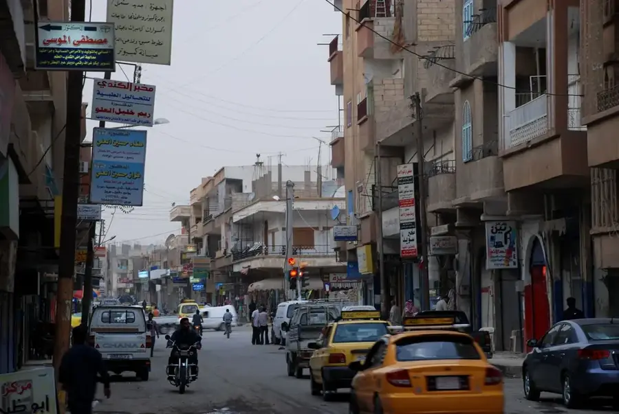
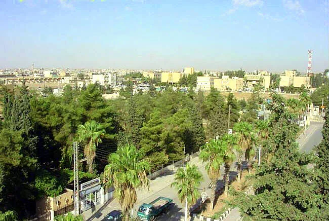
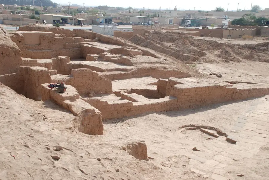
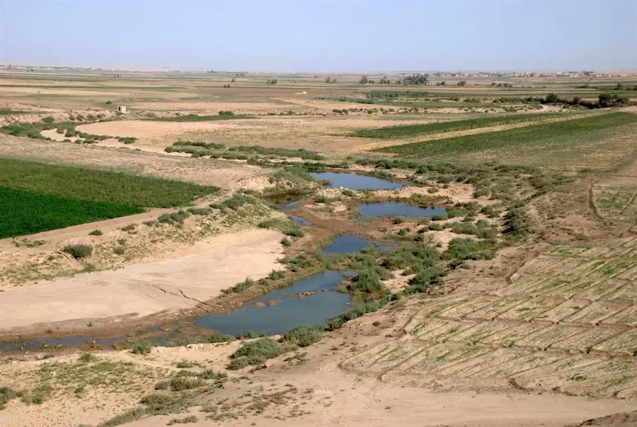
Al-Malikiyah, often called Derik in Kurdish, is the northeasternmost city of Syria, in Al-Hasakah governorate, just a few kilometers from the Turkish and Iraqi borders. Since antiquity the region has been part of the Fertile Crescent and is dotted with small mounds (tells) marking ancient settlements. The modern town grew in the 1920s and 1930s, when large numbers of Assyrian-Aramean, Armenian and Kurdish families settled here after the upheavals at the end of the Ottoman Empire. The surrounding plain depends on extensive wheat and barley cultivation as well as on some of the earliest oil fields developed in Syria, which makes Al-Malikiyah a key hub of the northeastern Syrian energy sector. The urban fabric combines modern districts with traditional market streets.
- Location: Syria
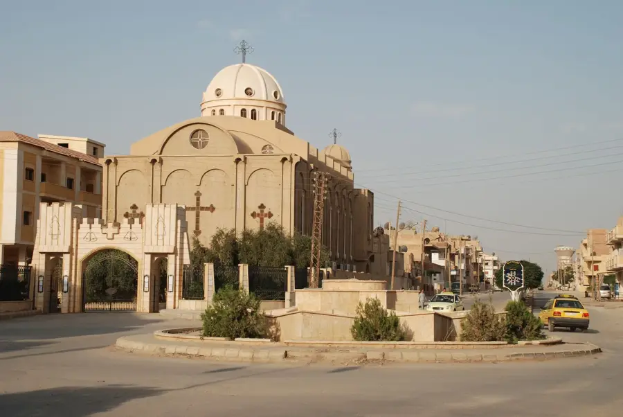
- Top sights: Church of Saint Dodo · Great Mosque · Haji Jassim Mosque
- Population: ~26.311 (2026)
Best time to visit & climate
The most pleasant time to visit is Apr, May, Oct.
| Jan | Feb | Mar | Apr | May | Jun | Jul | Aug | Sep | Oct | Nov | Dec | |
|---|---|---|---|---|---|---|---|---|---|---|---|---|
| Avg °C | 5 | 7 | 12 | 17 | 23 | 30 | 34 | 34 | 29 | 22 | 13 | 7 |
| Rain mm | 49 | 48 | 51 | 49 | 21 | 3 | 1 | 1 | 3 | 25 | 35 | 49 |
Geography
Facts
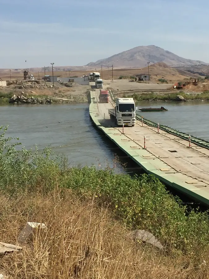
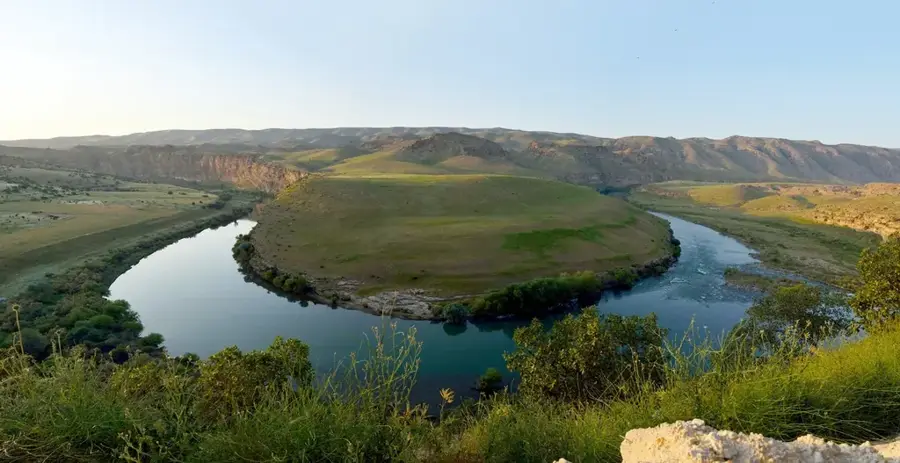
- Al-Malikiyah is located only about 10 kilometers west of the Tigris River.
- The city was officially named after officer Adnan al-Malki in 1957.
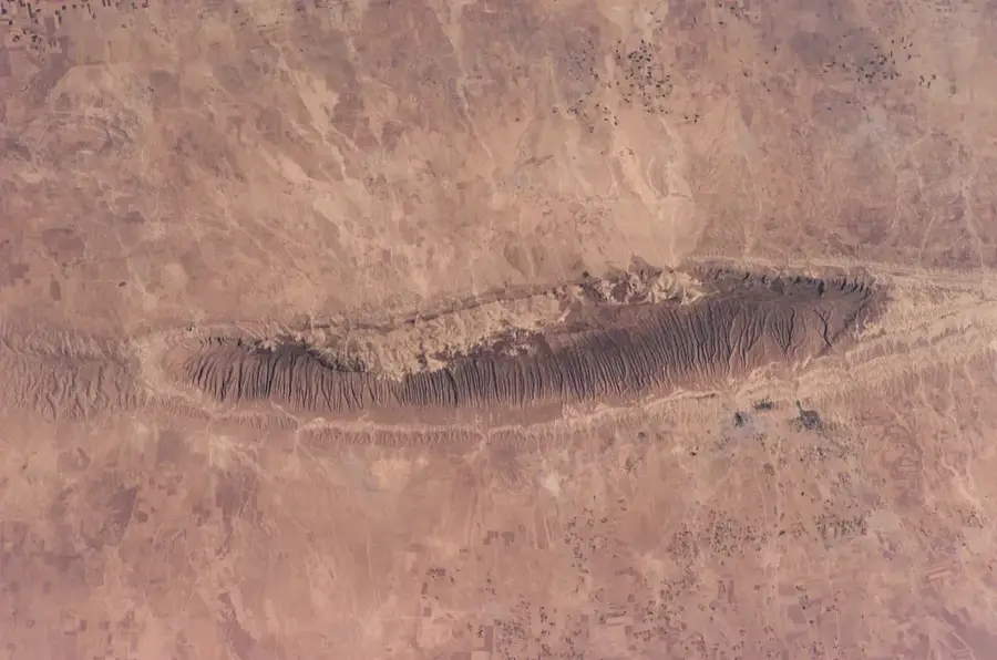
- The region is known for its numerous archaeological tells (settlement mounds).
- The nearby Karachuk oil field is one of the oldest in Syria.
- Al-Malikiyah is a hub for the Syriac Orthodox and Chaldean churches.
- The city lies in the rainiest region of the country, ideal for cereal farming.
Explore nearby
Notable places around
Route planner — Car & Motorhome
Where do you start? We build the route here, with stops and country notes along the way.
© OpenStreetMap contributors · OpenRouteService
Sights in the town Al-Malikiyah (3)
Frequently asked questions
What characterizes Al-Malikiya?
What is the weather like in Al-Malikiya?
Is Al-Malikiya easily accessible?
Are there cultural events?
What foods are typical there?
Al-Malikiyah: where is it located?
Al-Malikiyah: what is there to see?
Al-Malikiyah: when is the best time to visit?
Al-Malikiyah: why is it worth visiting?

Nearby cities
History & landmarks
Nature
More places