Plizio Visual Lab
Sinjar Mountains
Weather…
Water temperature…
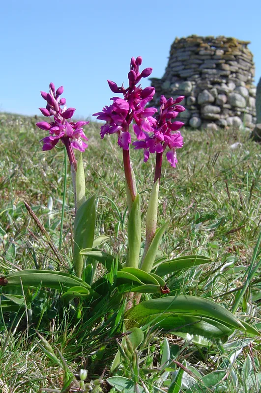
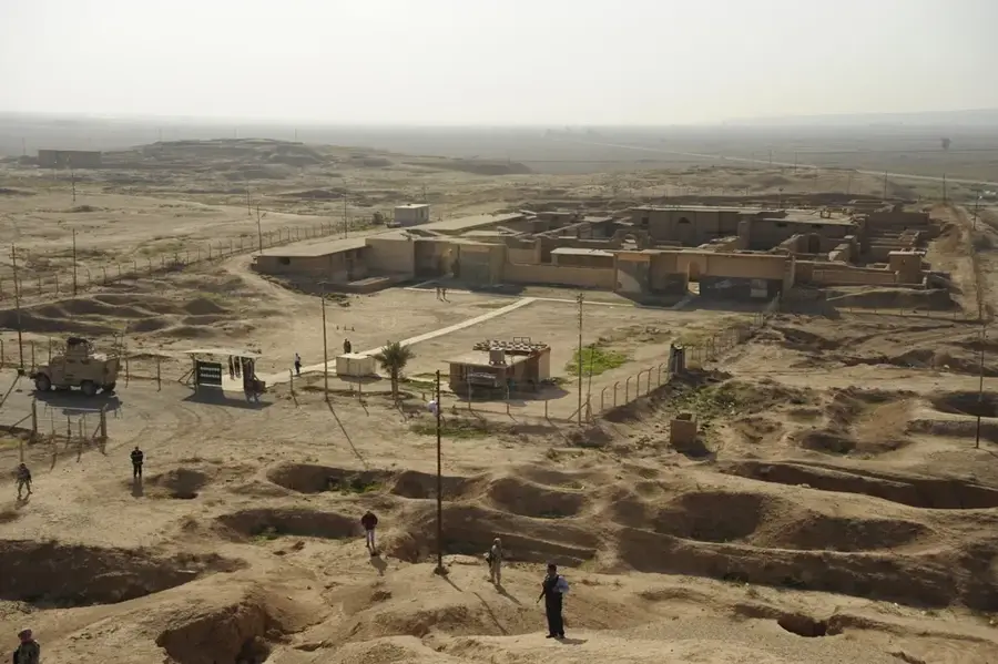
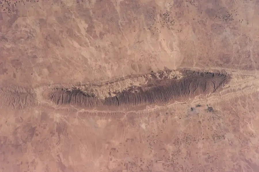
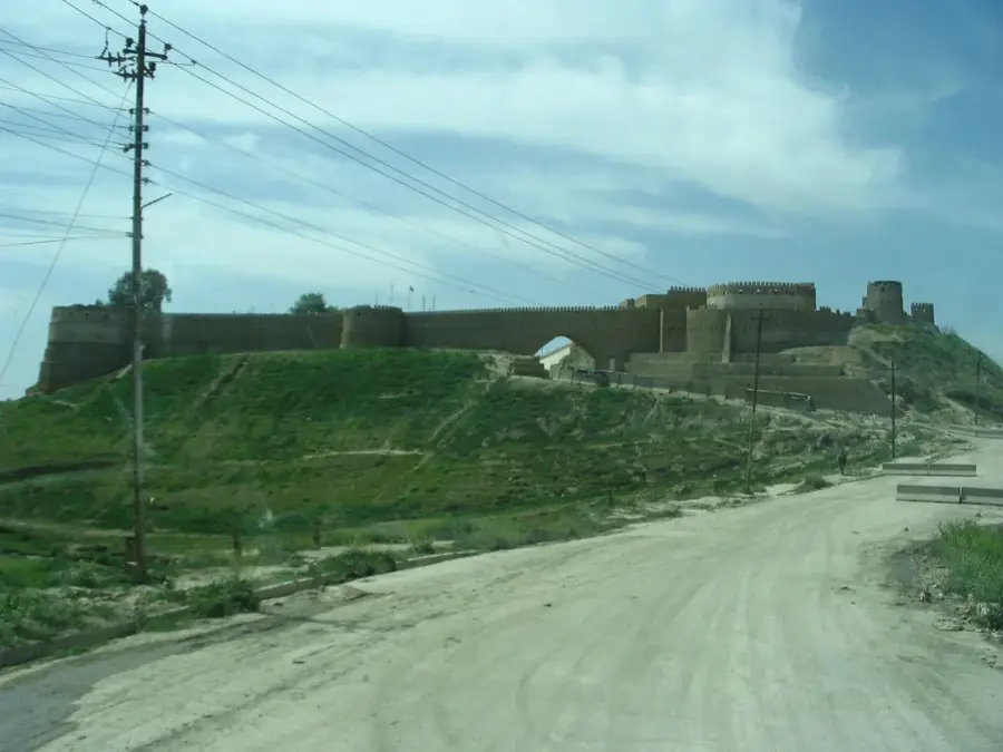
The Sinjar Mountains represent an isolated mountain block that unfolds over a linear distance of approximately 100 kilometers, profiling itself directly from the flat plain of the Syrian desert in the northwest of the Iraqi province of Ninawa. The maximum altitude is reached on Chermera Peak, at an elevation of 1,463 meters. This mountain range functions as the traditional geographic center and sacred area for the minority of the Yazidi community, whose members have found historic refuge in villages situated on heights and inside hidden valleys. The geological structure is mostly constituted of karstic limestone formations, a natural phenomenon that favored the appearance of multiple speleological systems. The specific climatic regime, defined by lower temperatures and a higher amount of precipitation, allows for terrace agriculture.
- Location: Iraq
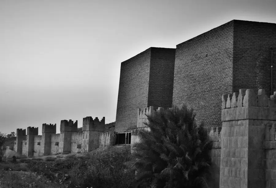
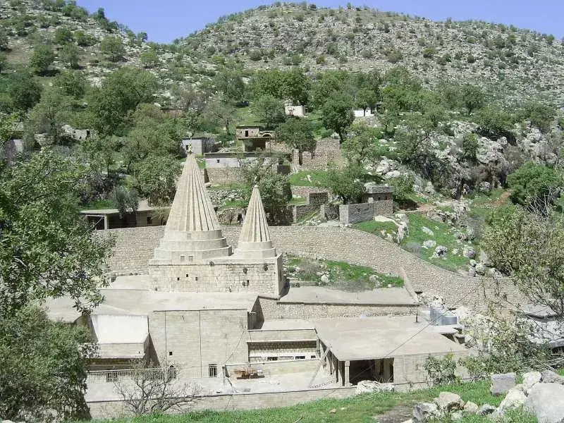
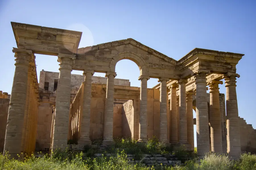
- Top sights: Hajali Temple · Êzi temple · Chermera temple
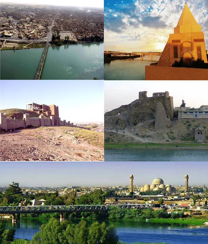
- Nearby: Tal Afar (73 km)
Best time to visit & climate
The most pleasant time to visit is Apr, May, Oct.
| Jan | Feb | Mar | Apr | May | Jun | Jul | Aug | Sep | Oct | Nov | Dec | |
|---|---|---|---|---|---|---|---|---|---|---|---|---|
| Avg °C | 5 | 7 | 12 | 17 | 23 | 30 | 34 | 33 | 29 | 22 | 13 | 7 |
| Rain mm | 41 | 38 | 39 | 37 | 14 | 1 | 0 | 0 | 2 | 18 | 27 | 39 |
📋 Practical info
Geography
Facts
- Mountain chain with a linear length of roughly 100 km.
- Chermera Peak holds the maximum point of 1,463 meters.
- Located on the administrative territory of Ninawa province.
- Geological structure consists mostly of karstic limestone.
- Constitutes the historic refuge space of the Yazidi community.
- Specific climate supports agriculture based on terracing.
Explore nearby
Notable places around
Route planner — Car & Motorhome
Where do you start? We build the route here, with stops and country notes along the way.
© OpenStreetMap contributors · OpenRouteService
Sights in the town Sinjar Mountains (6)
Sights nearby
Frequently asked questions
Why is Sinjar Mountain sacred?
Can you drive up the mountain?
What is the climate like there?
Are there ancient ruins?
What can you see from the summit?
Sinjar Mountains: where is it located?
Sinjar Mountains: what is there to see?
Sinjar Mountains: when is the best time to visit?
Sinjar Mountains: why is it worth visiting?

Nearby cities
History & landmarks
Nature
More places