Plizio Visual Lab
Piz Kesch
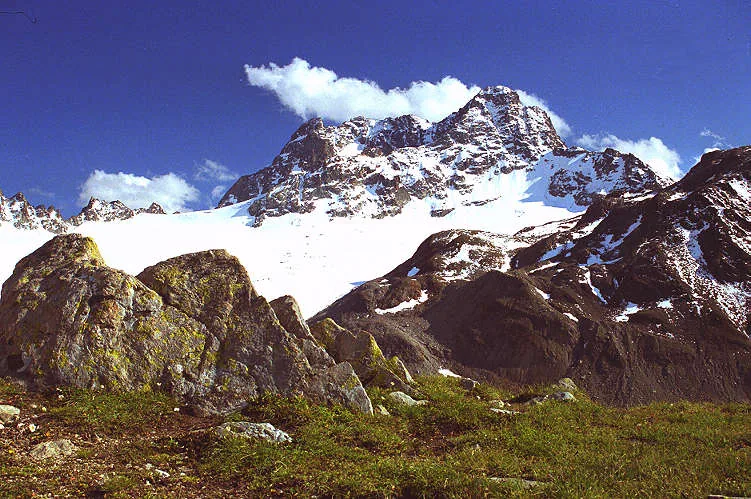
Piz Kesch (also known as Piz d'Es-cha) is the highest peak in the Albula Alps and the highest point in the canton of Graubünden north of the Inn river, reaching an elevation of 3,418 meters. Located between the Albula Pass and the Flüela Pass, it is a dominant massif that stands out in the regional landscape. The mountain is glaciated, with the Porchabella Glacier on its northern flank being the most significant. Geologically, Piz Kesch is remarkably complex, consisting of sedimentary rocks like limestone and dolomite resting atop a crystalline basement. The first successful ascent was made on September 7, 1846, by Johann Coaz and his party, a feat that marked a milestone in the exploration of the Grisons Alps. Today, the mountain is a favorite for ski touring and mountaineering, with the Kesch Hut of the Swiss Alpine Club (SAC) serving as a key base for summit attempts. From the top, climbers are rewarded with views of the Bernina Range to the south and the Silvretta to the north.
- Location: Switzerland
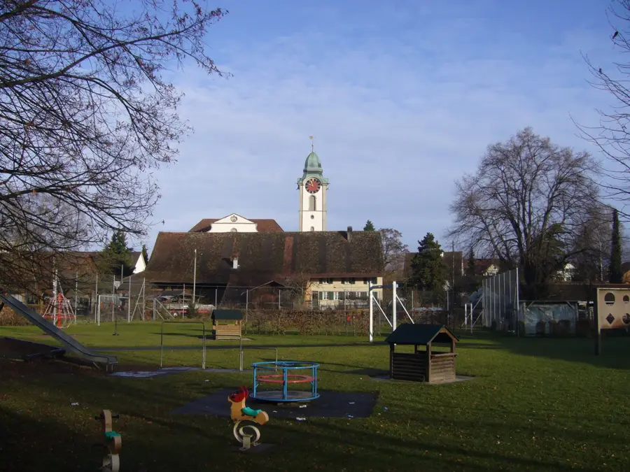
- Top sights: Piz Blaisun · Piz Forun · Piz Alvra
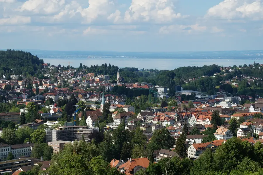
- Nearby: Engadin (8 km)
Best time to visit & climate
The most pleasant time to visit is Jun–Aug.
| Jan | Feb | Mar | Apr | May | Jun | Jul | Aug | Sep | Oct | Nov | Dec | |
|---|---|---|---|---|---|---|---|---|---|---|---|---|
| Avg °C | -10 | -10 | -6 | 0 | 5 | 9 | 11 | 11 | 7 | 2 | -3 | -9 |
| Rain mm | 55 | 47 | 61 | 81 | 120 | 129 | 129 | 145 | 99 | 99 | 102 | 65 |
📋 Practical info
Geography
Facts
- Piz Kesch stands at 3,418 meters, the highest in the Albula range.
- The first recorded ascent was on September 7, 1846, by Johann Coaz.
- The Porchabella Glacier covers the northern slopes of the mountain.
- It is located on the drainage divide between the Inn and the Albula rivers.
- The Kesch Hut (2,625m) is a popular stop on the Kesch Trek route.
- Its geology features a complex mix of sedimentary and metamorphic rocks.
Explore nearby
Notable places around
Route planner — Car & Motorhome
Where do you start? We build the route here, with stops and country notes along the way.
© OpenStreetMap contributors · OpenRouteService
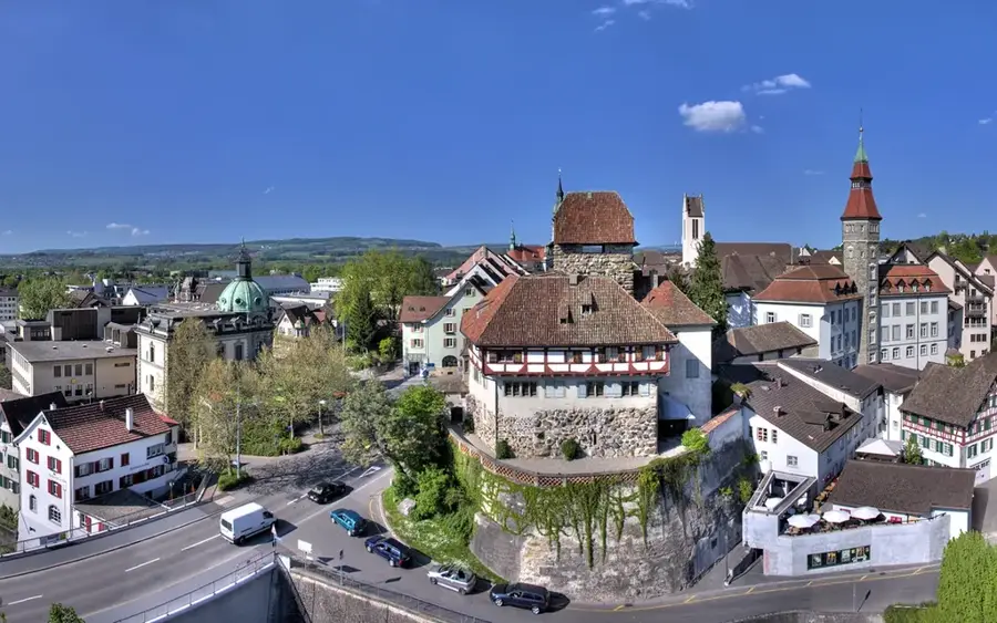
Sights in the town Piz Kesch (3)
Sights nearby
Frequently asked questions
What is Piz Kesch?
Is Piz Kesch accessible for hikers?
Where can you stay overnight nearby?
Is there a glacier there?
Which town is the best starting point?
Piz Kesch: where is it located?
Piz Kesch: what is there to see?
Piz Kesch: when is the best time to visit?
Piz Kesch: why is it worth visiting?

Nearby cities