Plizio Visual Lab
Piz dal Luch
Weather…
Water temperature…
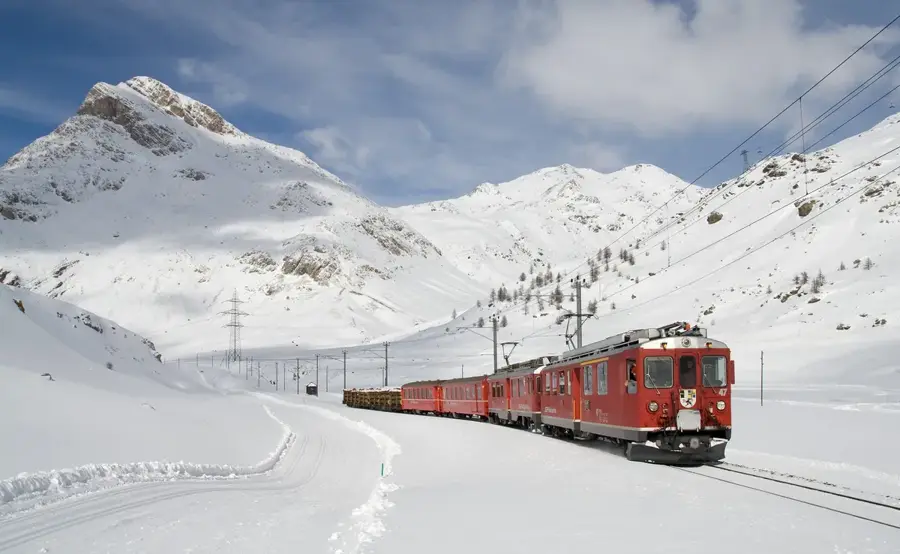
Piz dal Luch, often also referred to as Piz dal Lugh, is a mountain peak in the Livigno Alps in the canton of Graubünden, reaching an altitude of approximately 2,738 meters. It is located northwest of Lake Poschiavo and southeast of the Bernina Pass. The mountain is part of a rugged landscape characterized by deep-cut valleys and high-altitude pastures. Geologically, the region marks a transition between crystalline basement rocks and various sedimentary formations. Piz dal Luch provides exceptional views over the Val Poschiavo and the prominent peaks of the Bernina Range. Hiking trails in this area tend to be less traveled, giving the mountain a quiet and secluded character. Historically, the area was vital for local alpine farming, and some surrounding mountain huts are still in use today. The climate is influenced by its proximity to the Southern Alps, resulting in a rich and diverse alpine flora.
- Location: Switzerland
- Top sights: Piz Minor · Piz Lagalb · Piz Alv
- Nearby: Pontresina (11 km)
Best time to visit & climate
The most pleasant time to visit is Jun–Aug.
| Jan | Feb | Mar | Apr | May | Jun | Jul | Aug | Sep | Oct | Nov | Dec | |
|---|---|---|---|---|---|---|---|---|---|---|---|---|
| Avg °C | -10 | -10 | -6 | 0 | 5 | 9 | 11 | 11 | 7 | 2 | -3 | -9 |
| Rain mm | 55 | 47 | 61 | 81 | 120 | 129 | 129 | 145 | 99 | 99 | 102 | 65 |
📋 Practical info
Geography
Facts
- The elevation of Piz dal Luch is around 2,738 meters above sea level.
- The mountain is located in the Italian-speaking part of Graubünden.
- The summit offers a direct bird's-eye view of Lake Poschiavo.
- Its geological layers are partly associated with the Campo nappe.
- Reaching the top requires good physical condition and navigation skills.
- Several historic seasonal alpine settlements are located in the vicinity.
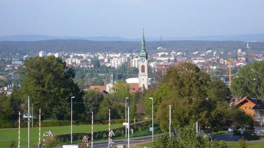
Explore nearby
Notable places around
Route planner — Car & Motorhome
Where do you start? We build the route here, with stops and country notes along the way.
© OpenStreetMap contributors · OpenRouteService
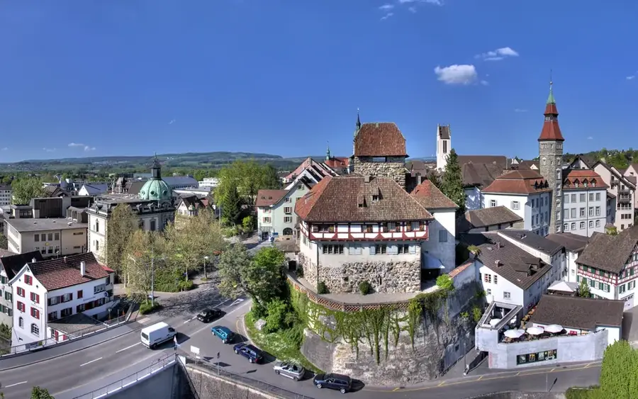
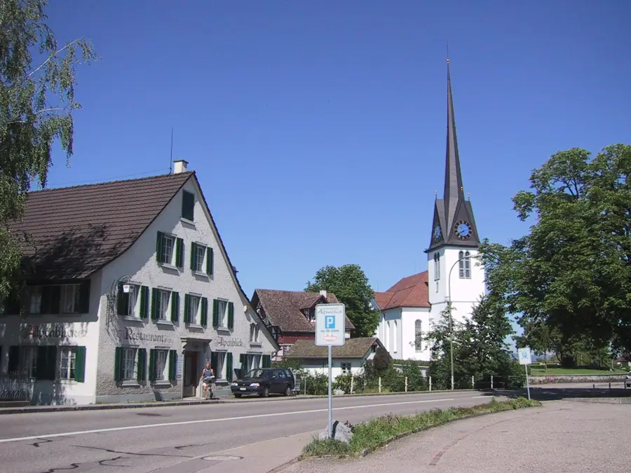
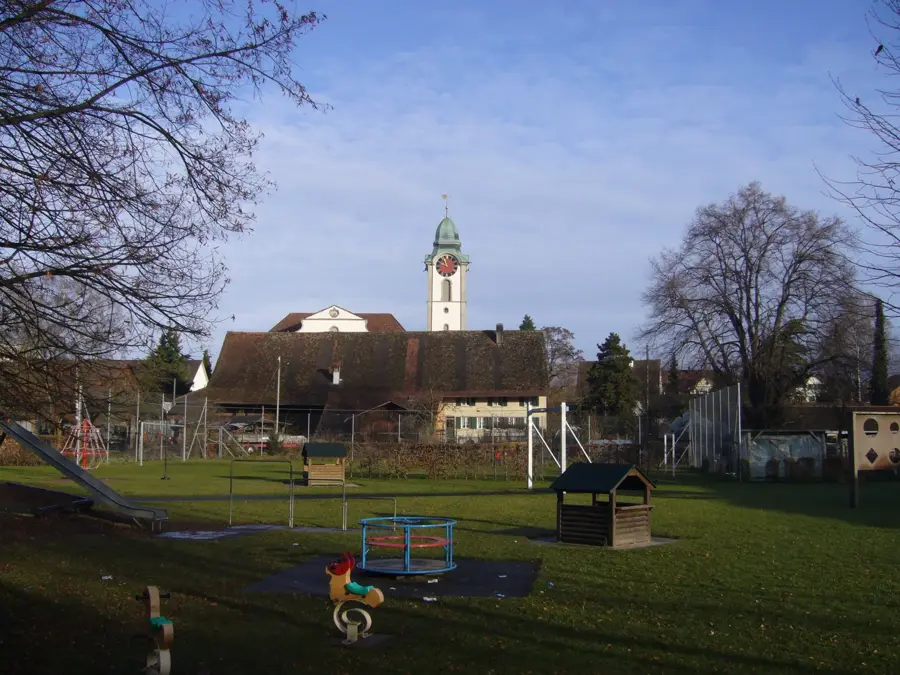
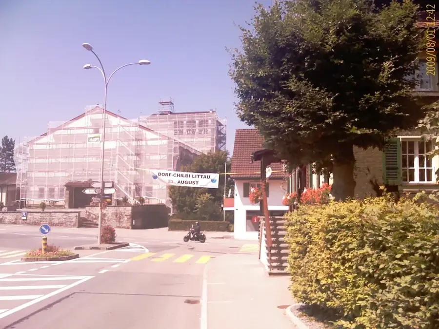
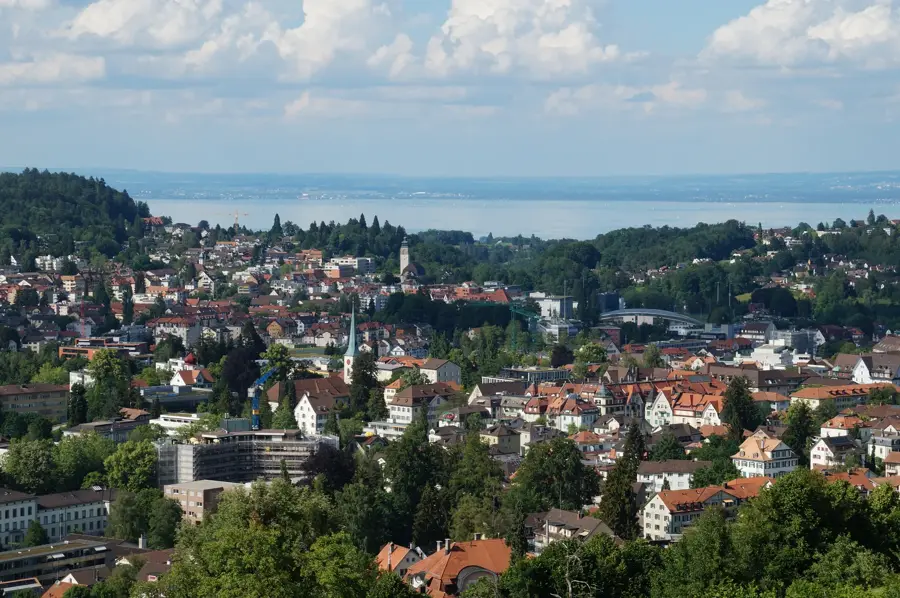
Sights in the town Piz dal Luch (3)
Sights nearby
Frequently asked questions
Where is Piz dal Luch located?
How high is this peak?
Is the trail to the summit difficult?
When is the best time for hiking?
Does the mountain offer good distant views?
Piz dal Luch: where is it located?
Piz dal Luch: what is there to see?
Piz dal Luch: when is the best time to visit?
Piz dal Luch: why is it worth visiting?

Nearby cities