Plizio Visual Lab
Piz Bernina
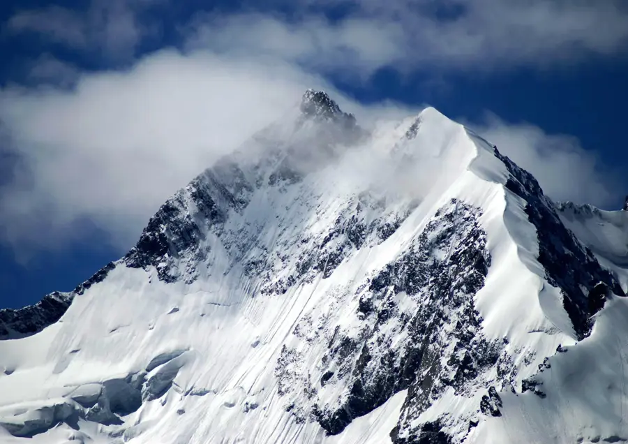
Piz Bernina, at 4049 meters, is the highest peak in the Eastern Alps and the only four-thousander in the Canton of Graubünden. It belongs to the Bernina massif and is located south of Pontresina on the border between Switzerland and Italy. The mountain is most famous for its striking snow ridge, the Biancograt, considered one of the most beautiful 'stairways to heaven' in the Alps. The first ascent was achieved on September 13, 1850, by Johann Coaz and his companions. Geologically, the massif consists of crystalline rocks such as granite and diorite, making the mountain a destination for demanding high-alpine tours. Piz Bernina separates the Val Roseg and Val Morteratsch valleys and is surrounded by massive glaciers like the Morteratsch Glacier. Due to its isolated position in eastern Switzerland, the summit gives an unparalleled panorama stretching to the distant Western Alps and the Dolomites.
- Location: Switzerland
- Top sights: Pizzo Bianco · Piz Prievlus
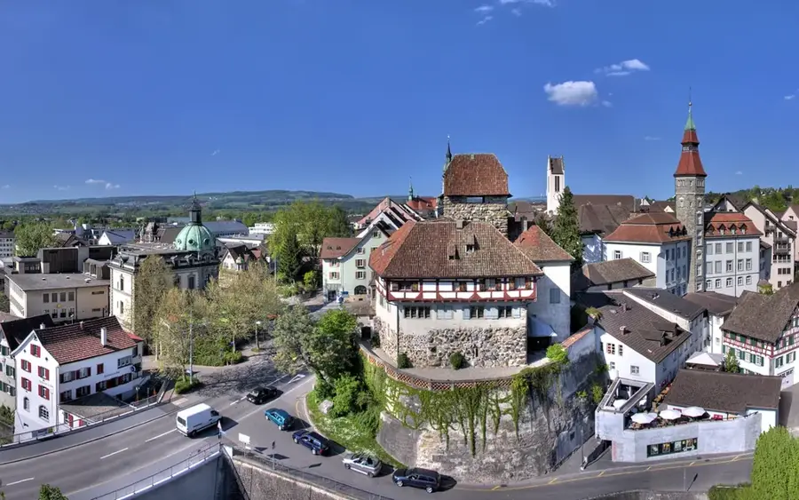
- Nearby: Pontresina (12 km)
Best time to visit & climate
The most pleasant time to visit is Jun–Aug.
| Jan | Feb | Mar | Apr | May | Jun | Jul | Aug | Sep | Oct | Nov | Dec | |
|---|---|---|---|---|---|---|---|---|---|---|---|---|
| Avg °C | -10 | -10 | -6 | 0 | 5 | 9 | 11 | 11 | 7 | 2 | -3 | -9 |
| Rain mm | 55 | 47 | 61 | 81 | 120 | 129 | 129 | 145 | 99 | 99 | 102 | 65 |
📋 Practical info
Geography
Facts
- At 4049 meters, it is the easternmost four-thousander in the Alps.
- Johann Coaz was the first to reach the summit in 1850.
- The Biancograt is a famous snow ridge on the north side.
- The mountain lies on the geographical border between Northern and Southern Europe.
- Piz Bernina is the highest point of the Canton of Graubünden.
- The rock belongs to the Bernina nappe of the Austroalpine units.
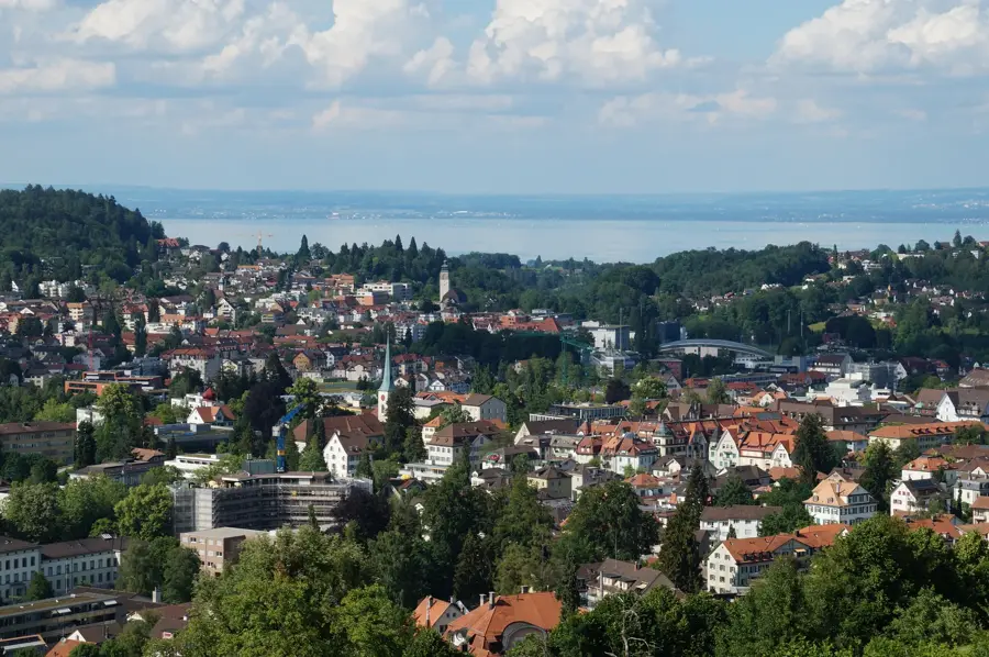
Explore nearby
Notable places around
Route planner — Car & Motorhome
Where do you start? We build the route here, with stops and country notes along the way.
© OpenStreetMap contributors · OpenRouteService
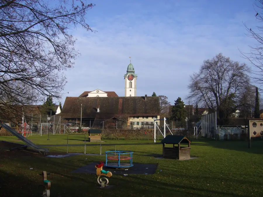
Sights in the town Piz Bernina (2)
Sights nearby
Frequently asked questions
How high is Piz Bernina?
What is the Biancograt?
Is the mountain suitable for beginners?
Where does the ascent usually start from?
Is Piz Bernina entirely in Switzerland?
Piz Bernina: where is it located?
Piz Bernina: what is there to see?
Piz Bernina: when is the best time to visit?
Piz Bernina: why is it worth visiting?

Nearby cities