Plizio Visual Lab
Piz d'Es-cha
Weather…
Water temperature…
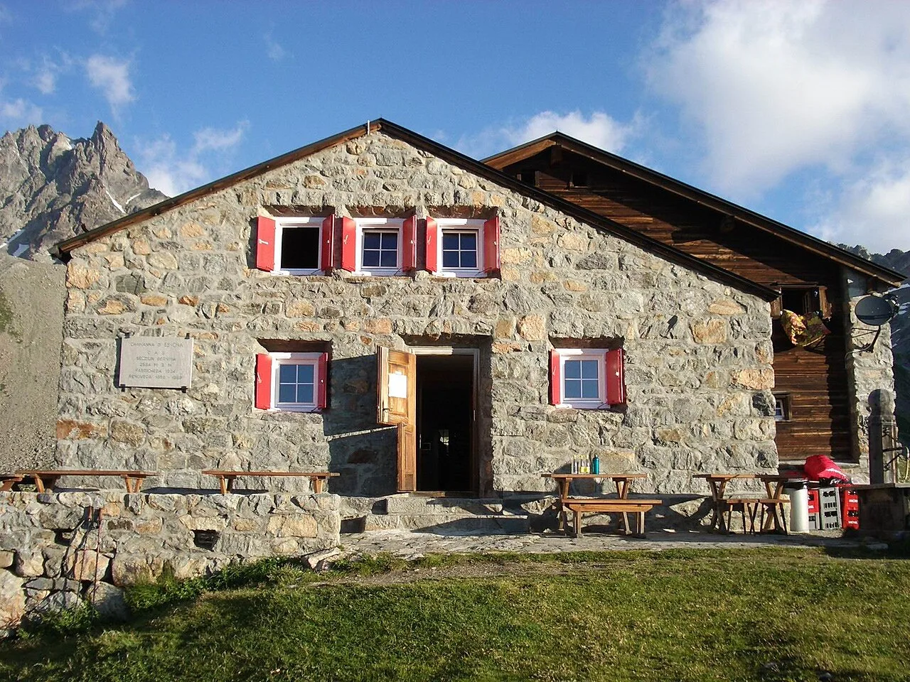
Piz d'Es-cha is a majestic peak in the Albula Alps, reaching an elevation of 3273 meters above sea level in the canton of Graubünden. It towers over the village of Zuoz in the Upper Engadine and forms a prominent part of the mountain chain between the Albula Pass and Val Susauna. Geologically, the mountain is composed of crystalline basement rocks from the Silvretta nappe, providing it with great structural stability and rugged rocky faces. Nearby sits the Chamanna d'Es-cha, a popular Swiss Alpine Club (SAC) hut that serves as the primary base for summit attempts. The first recorded ascents took place during the early era of alpinism, and today the peak is renowned for its spectacular views of the Bernina Range and the Swiss National Park. The ascent requires sure-footedness and a lack of vertigo, particularly in the rocky summit sections. In modern times, Piz d'Es-cha is a key landmark for hikers traversing the Albula High Trail.
- Location: Switzerland
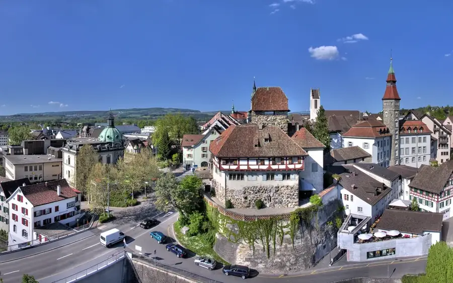
- Nearby: Engadin (7 km)
Best time to visit & climate
The most pleasant time to visit is Jun–Aug.
| Jan | Feb | Mar | Apr | May | Jun | Jul | Aug | Sep | Oct | Nov | Dec | |
|---|---|---|---|---|---|---|---|---|---|---|---|---|
| Avg °C | -10 | -10 | -6 | 0 | 5 | 9 | 11 | 11 | 7 | 2 | -3 | -9 |
| Rain mm | 55 | 47 | 61 | 81 | 120 | 129 | 129 | 145 | 99 | 99 | 102 | 65 |
📋 Practical info
Geography
Facts
- Elevation: 3273 meters (10,738 feet).
- Location: Canton of Graubünden, Upper Engadine.
- Range: Albula Alps (Central Eastern Alps).
- Base Camp: Chamanna d'Es-cha (SAC) at 2594 meters.
- First Ascent: Recorded in the mid-19th century.
- Geology: Primarily composed of Silvretta nappe gneiss.
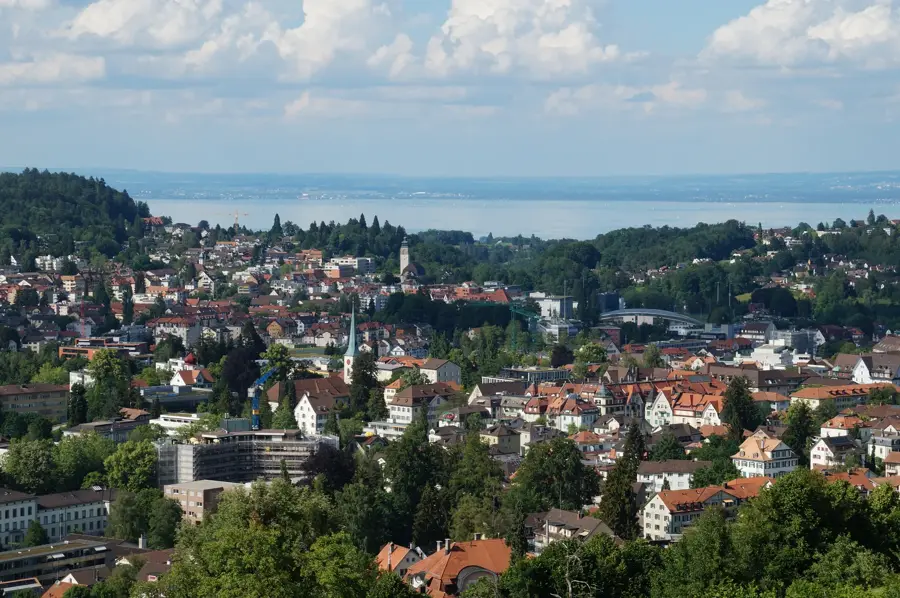
Explore nearby
Notable places around
Route planner — Car & Motorhome
Where do you start? We build the route here, with stops and country notes along the way.
© OpenStreetMap contributors · OpenRouteService
Sights nearby
Frequently asked questions
What is Piz d'Es-cha?
Where do you start the tour?
Is the ascent difficult?
How is the view?
When is the best time?
Piz d'Es-cha: where is it located?
Piz d'Es-cha: when is the best time to visit?
Piz d'Es-cha: why is it worth visiting?

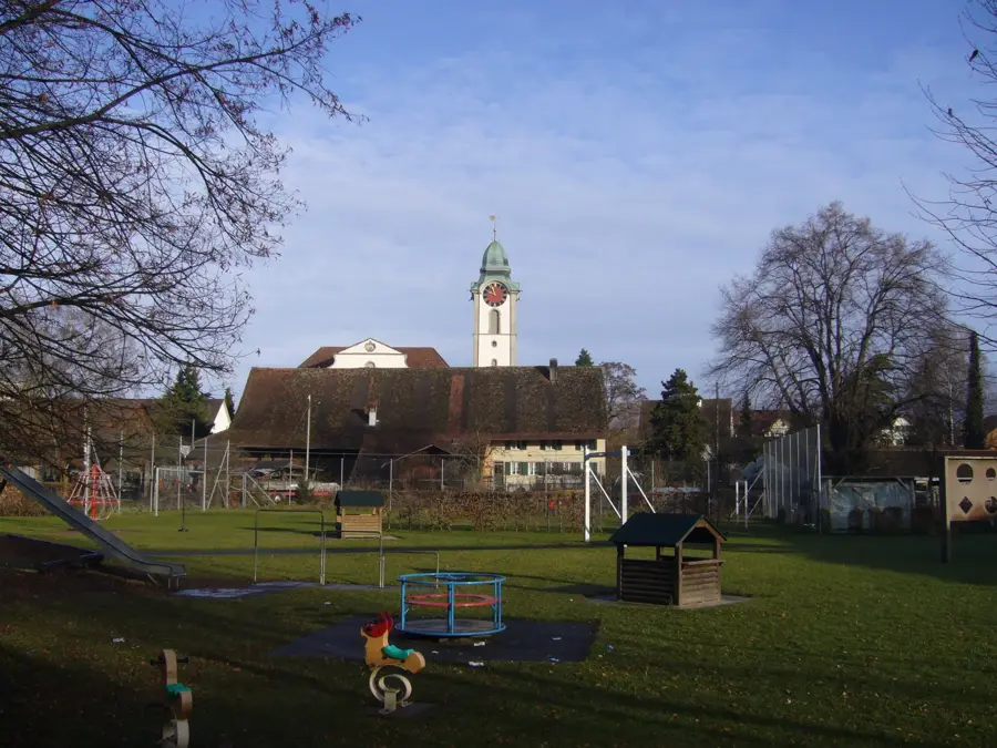
Nearby cities