Plizio Visual Lab
Piz d'Es-cha V2

Weather…
Water temperature…
Piz d'Es-cha is a significant peak in the Albula Alps, located in the canton of Graubünden and reaching an elevation of 3,339 meters. Situated northeast of Madulain, it provides striking panoramic views toward the Bernina Range to the south. The mountain is part of a rugged massif defined by steep rock faces and sharp ridges. Climbers typically start their ascent from the Chamanna d'Es-cha, an alpine hut at 2,594 meters managed by the SAC. Historically, the area saw intense exploration during the 19th-century golden age of mountaineering, with Piz d'Es-cha often regarded as a more technical challenge than its neighbor, Piz Kesch. The local geology features a mix of crystalline rocks and sedimentary layers, creating a visually striking but often loose ridge structure. Nowadays, the peak serves as a key waypoint for those navigating the high route via the Porta d'Es-cha pass.
- Location: Switzerland
- Top sights: Pizzet · Piz Belvair · Piz Viroula
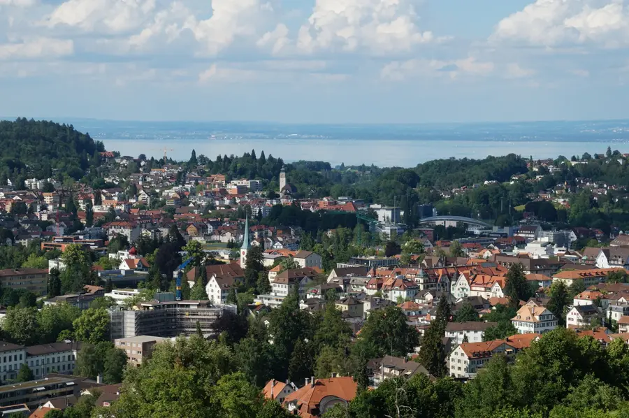
- Nearby: Engadin (8 km)
Best time to visit & climate
The most pleasant time to visit is Jun–Aug.
| Jan | Feb | Mar | Apr | May | Jun | Jul | Aug | Sep | Oct | Nov | Dec | |
|---|---|---|---|---|---|---|---|---|---|---|---|---|
| Avg °C | -10 | -10 | -6 | 0 | 5 | 9 | 11 | 11 | 7 | 2 | -3 | -9 |
| Rain mm | 55 | 47 | 61 | 81 | 120 | 129 | 129 | 145 | 99 | 99 | 102 | 65 |
📋 Practical info
Geography
Facts
- The maximum elevation of Piz d'Es-cha is 3,339 meters.
- The mountain towers over the village of Madulain in the Upper Engadine.
- The Chamanna d'Es-cha hut is located at an altitude of 2,594 meters.
- Porta d'Es-cha is a crucial pass leading to the Porchabella Glacier.
- The peak was first climbed during the systematic mapping of the Albula Alps.
- The rock formation is part of the Silvretta nappe of the Eastern Alps.
Explore nearby
Notable places around
Route planner — Car & Motorhome
Where do you start? We build the route here, with stops and country notes along the way.
© OpenStreetMap contributors · OpenRouteService
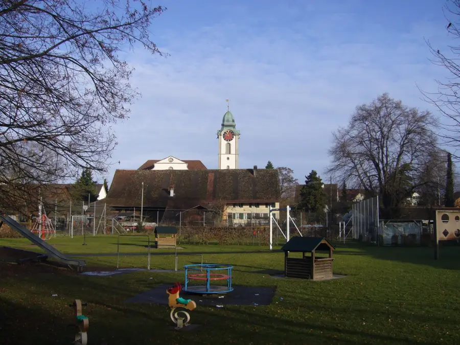
Sights in the town Piz d'Es-cha V2 (3)
Sights nearby
Frequently asked questions
What is Piz d'Es-cha V2?
How do you reach the region?
Is the area prone to avalanches?
What does Chamanna d'Es-cha offer?
Are there rare plants there?
Piz d'Es-cha V2: where is it located?
Piz d'Es-cha V2: what is there to see?
Piz d'Es-cha V2: when is the best time to visit?
Piz d'Es-cha V2: why is it worth visiting?

Nearby cities