Plizio Visual Lab
4th Nile Cataract

Weather…
Water temperature…
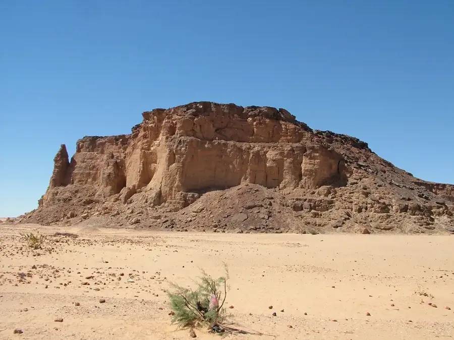
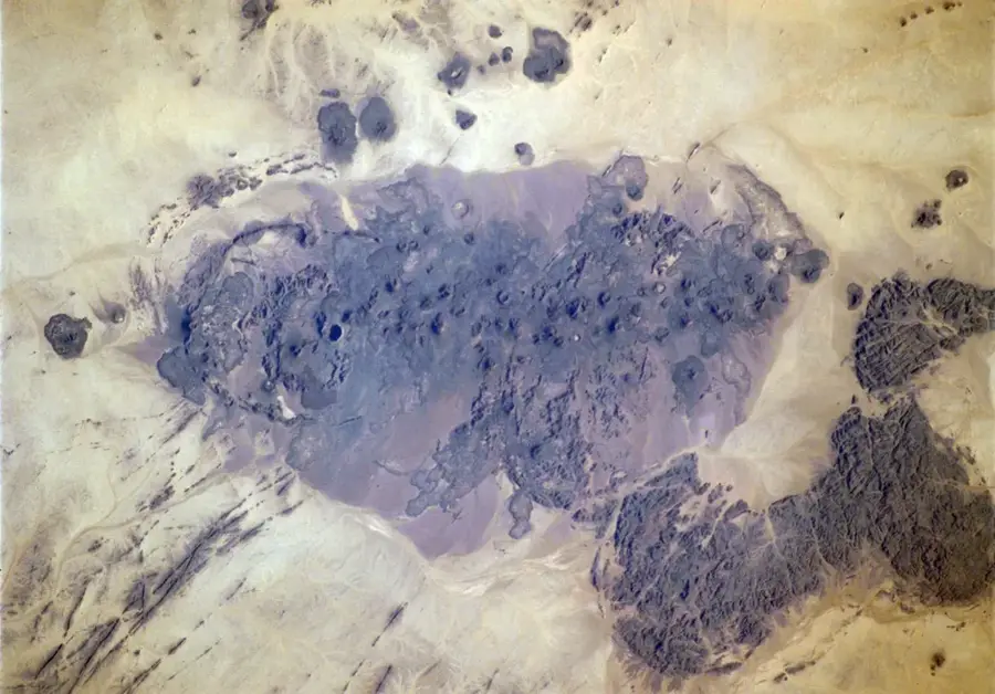
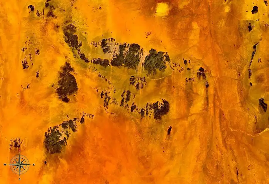
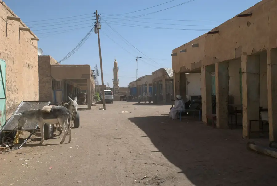
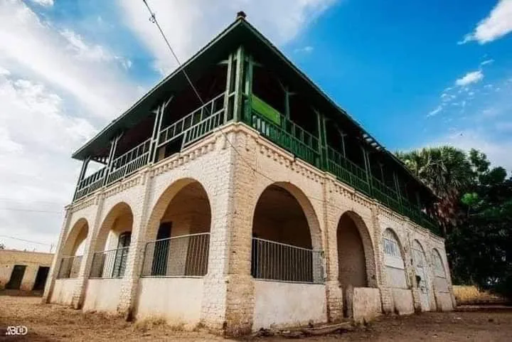
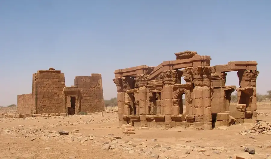
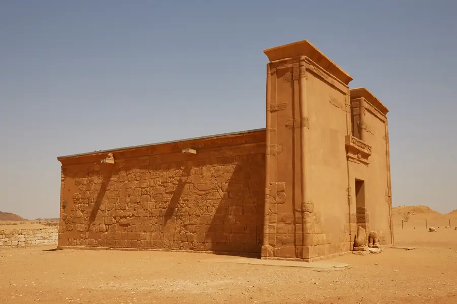
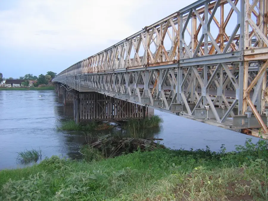
The 4th Cataract of the Nile is located in northern Sudan, near the city of Merowe, and was once one of the wildest and most inaccessible stretches of the Nile. This region is characterized by rugged granite islands and violent rapids that divide the river into numerous narrow channels. Historically, the cataract marked a strategic boundary for the Nubian kingdoms and prevented easy large-scale navigation for millennia. In the early 2000s, the landscape changed dramatically with the construction of the Merowe Dam (Hamdab Dam), which led to the flooding of large portions of the cataract and the relocation of thousands of people. Before the flooding, extensive archaeological salvage projects were carried out, securing significant finds from the Kushite era and prehistoric rock art. Today, much of the original character of the cataract has disappeared beneath the reservoir, but the remaining rock formations at the edges still bear witness to the river's former power. The region remains an important site for researching Nubian history and the environmental impacts of major infrastructure projects. The cultural identity of the local Manasir communities is deeply rooted in the rocks and islands of the cataract.
- Location: Sudan
- Nearby: Karima (50 km)
Best time to visit & climate
The most pleasant time to visit is Jan, Feb, Dec.
| Jan | Feb | Mar | Apr | May | Jun | Jul | Aug | Sep | Oct | Nov | Dec | |
|---|---|---|---|---|---|---|---|---|---|---|---|---|
| Avg °C | 19 | 22 | 25 | 29 | 33 | 35 | 35 | 35 | 34 | 31 | 25 | 21 |
| Rain mm | 0 | 0 | 0 | 0 | 1 | 0 | 3 | 7 | 1 | 1 | 0 | 0 |
📋 Practical info
Geography
Facts
- The cataract was largely submerged following the construction of the Merowe Dam.
- It originally stretched over a length of approximately 100 kilometers.
- Granitic gneiss rocks formed the main barrier to river navigation.
- Archaeologists discovered thousands of rock art pieces before the flooding.
- The region was historically a major center for gold mining activity.
- The cataract was regarded as the most difficult section of the Nile to traverse.
Explore nearby
Notable places around
Route planner — Car & Motorhome
Where do you start? We build the route here, with stops and country notes along the way.
© OpenStreetMap contributors · OpenRouteService
Sights nearby
Frequently asked questions
How do I reach the 4th cataract?
Is photography allowed?
What is the best travel time?
Is there a visitor center?
Is it safe to hike alone?
4th Nile Cataract: where is it located?
4th Nile Cataract: when is the best time to visit?
4th Nile Cataract: why is it worth visiting?

Nearby cities
History & landmarks


Nature

More places