Plizio Visual Lab
Dongola Reach

Weather…
Water temperature…
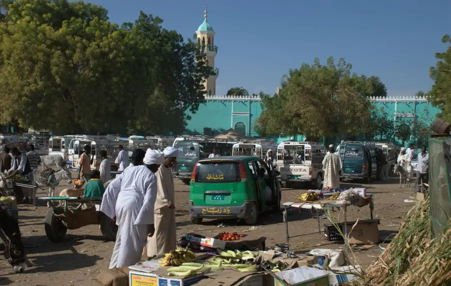
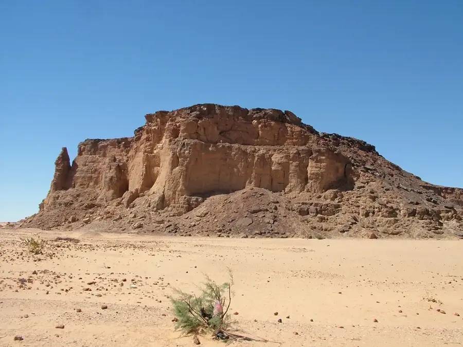
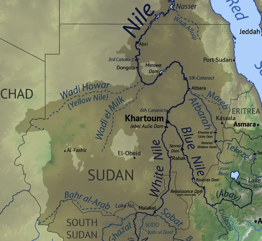
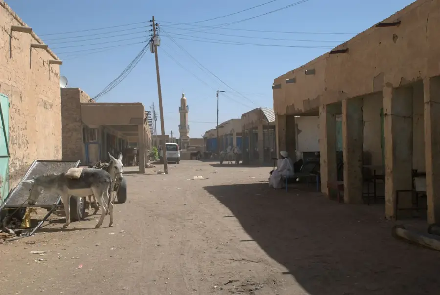
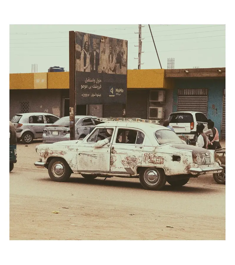
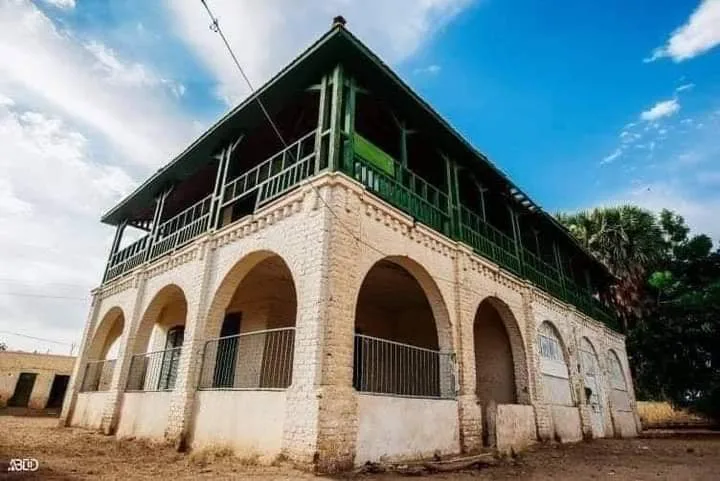
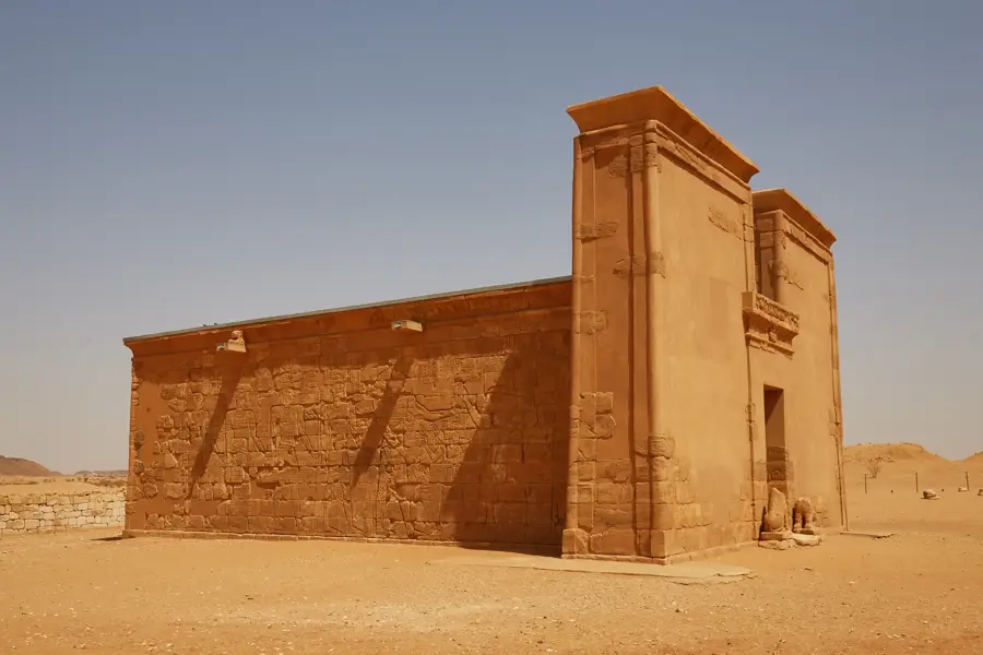
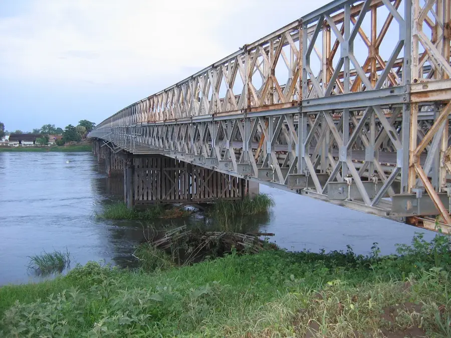
The Dongola Reach extends along the Nile in northern Sudan between the third and fourth cataracts. This region is the historical heartland of the Christian Kingdom of Makuria, with the former capital Old Dongola serving as its most significant ruin site. The fertile strips of land along the river contrast sharply with the surrounding Nubian Desert, allowing for the cultivation of date palms, wheat, and vegetables. The river valley is particularly wide here, offering extensive floodplains that have been farmed for millennia. Numerous archaeological finds from the Kerma period, as well as the Napatan and Meroitic eras, attest to the region's long history of settlement. Today, the area is known for its traditional Nubian architecture and the preservation of Nubian dialects. Modern Dongola acts as the administrative and economic center of the reach. The calm flow of the Nile in this section facilitates local fishing and boat transportation.
- Location: Sudan
- Nearby: Argo (10 km)
Best time to visit & climate
The most pleasant time to visit is Jan, Feb, Dec.
| Jan | Feb | Mar | Apr | May | Jun | Jul | Aug | Sep | Oct | Nov | Dec | |
|---|---|---|---|---|---|---|---|---|---|---|---|---|
| Avg °C | 18 | 21 | 25 | 29 | 33 | 35 | 36 | 36 | 35 | 31 | 24 | 20 |
| Rain mm | 0 | 0 | 0 | 0 | 0 | 0 | 2 | 2 | 0 | 0 | 0 | 0 |
📋 Practical info
Geography
Facts
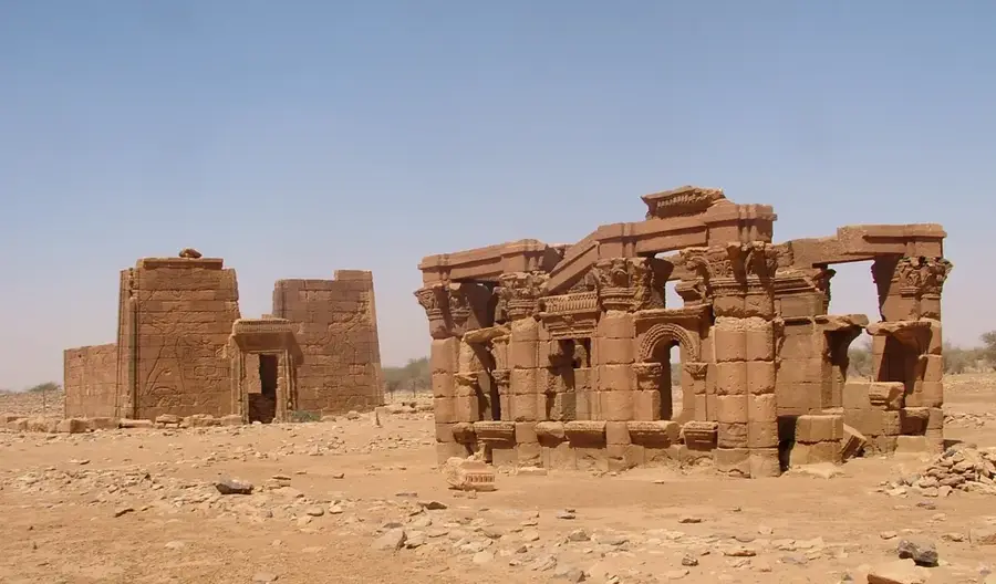
- Old Dongola was the capital of Makuria from the 6th to the 14th century.
- The reach houses some of the oldest mosques in Sudan from the conversion era.
- The ruins of the Temple of Kawa from the Pharaonic period are located here.
- The region is famous for its high-quality 'Sakkoti' variety of dates.
- Annual rainfall in Dongola is among the lowest recorded in all of Sudan.
- Traditional Nubian houses are often decorated with colorful wall paintings.
Explore nearby
Notable places around
Route planner — Car & Motorhome
Where do you start? We build the route here, with stops and country notes along the way.
© OpenStreetMap contributors · OpenRouteService
Sights in the town Dongola Reach (1)
Sights nearby
Frequently asked questions
What can you see at the Dongola reach?
Is the area safe?
Can you visit local villages?
When is the best time for photos?
Is a 4x4 vehicle needed?
Dongola Reach: where is it located?
Dongola Reach: when is the best time to visit?
Dongola Reach: why is it worth visiting?

Nearby cities
History & landmarks
Nature

More places