Plizio Visual Lab
Blue Nile
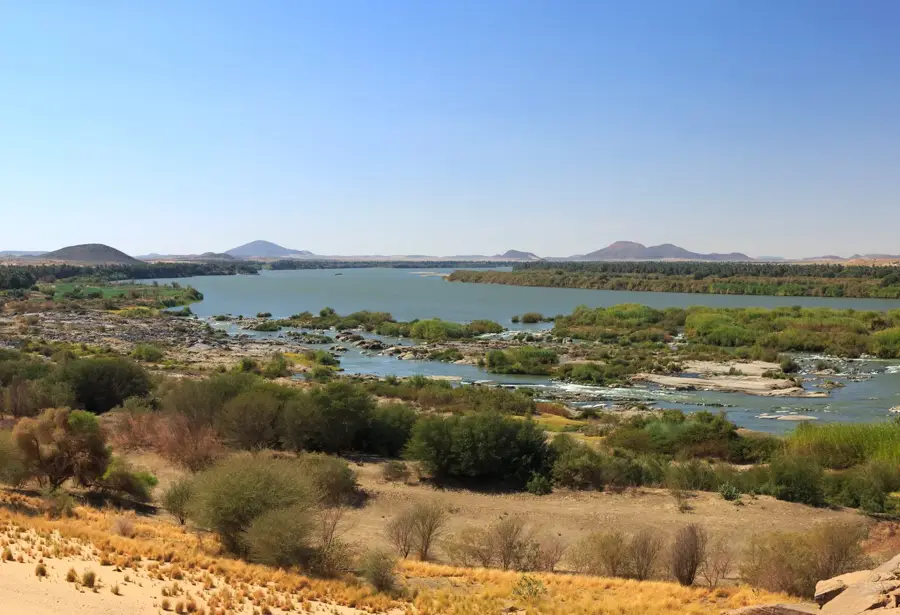
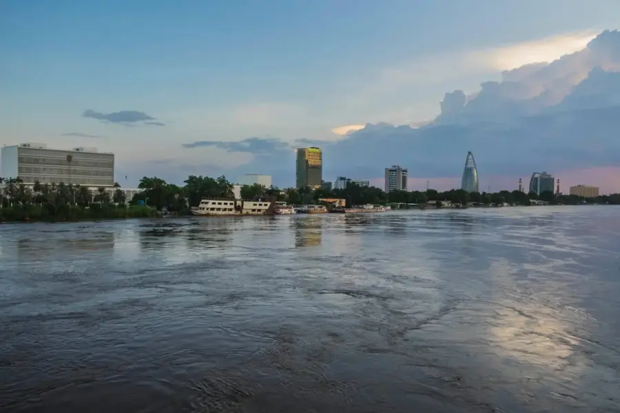
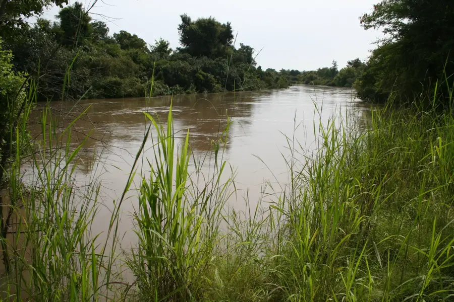
The Blue Nile is the primary water source for Sudan and Egypt, supplying up to 80% of the total Nile volume during the flood season. It originates as the Little Abbai in the Ethiopian Highlands, flows through Lake Tana, and plunges over the spectacular Tis Issat Falls before entering deep gorges. Upon entering Sudan, it flows through the fertile Gezira plain and joins the White Nile in Khartoum. The river is famous for its violent seasonal fluctuations and the high content of fertile silt that has sustained agriculture in the Nile Valley for millennia. Major dams like Roseires and Sennar in Sudan harness the river's power for electricity generation and the irrigation of cotton and sugarcane fields. The construction of the Grand Ethiopian Renaissance Dam (GERD) in Ethiopia has led to significant geopolitical discussions regarding water distribution in recent years. The Blue Nile remains the lifeblood of the Sudanese economy and a central element of national identity.
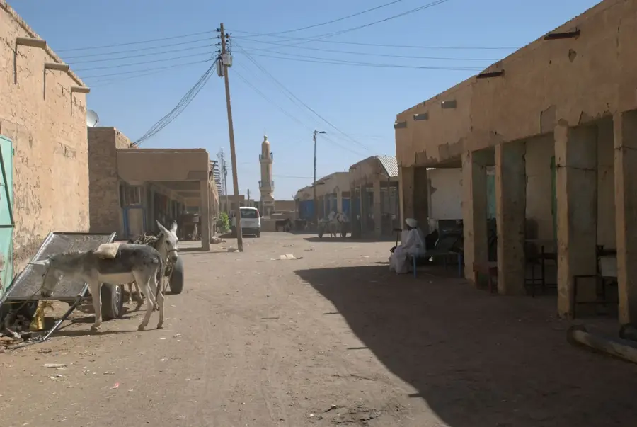
- Location: Sudan
- Nearby: Omdurman (7 km)
Best time to visit & climate
The most pleasant time to visit is Jan, Feb, Dec.
| Jan | Feb | Mar | Apr | May | Jun | Jul | Aug | Sep | Oct | Nov | Dec | |
|---|---|---|---|---|---|---|---|---|---|---|---|---|
| Avg °C | 22 | 25 | 28 | 31 | 34 | 35 | 33 | 31 | 32 | 32 | 27 | 23 |
| Rain mm | 0 | 0 | 0 | 1 | 3 | 5 | 44 | 58 | 20 | 9 | 0 | 0 |
📋 Practical info
Geography
Facts
- The length of the Blue Nile from its source to Khartoum is approximately 1,450 kilometers.
- The name 'Blue' derives from the dark color of the water during sediment transport periods.
- The Tis Issat Falls have a width of 400 meters and a drop of 45 meters.
- The Gezira Scheme is irrigated almost entirely by water from the Blue Nile.
- The flow velocity can reach ten times its normal value during the rainy season.
- The Roseires Dam was heightened in 2013 to double its storage capacity to 7.3 billion cubic meters.
Explore nearby
Notable places around
Route planner — Car & Motorhome
Where do you start? We build the route here, with stops and country notes along the way.
© OpenStreetMap contributors · OpenRouteService
Sights in the town Blue Nile (1)
Sights nearby
Frequently asked questions
Where is the Blue Nile most impressive?
Can you swim there?
Are there boat tours?
When is the river level highest?
Is photography allowed?
Blue Nile: where is it located?
Blue Nile: when is the best time to visit?
Blue Nile: why is it worth visiting?

Nearby cities
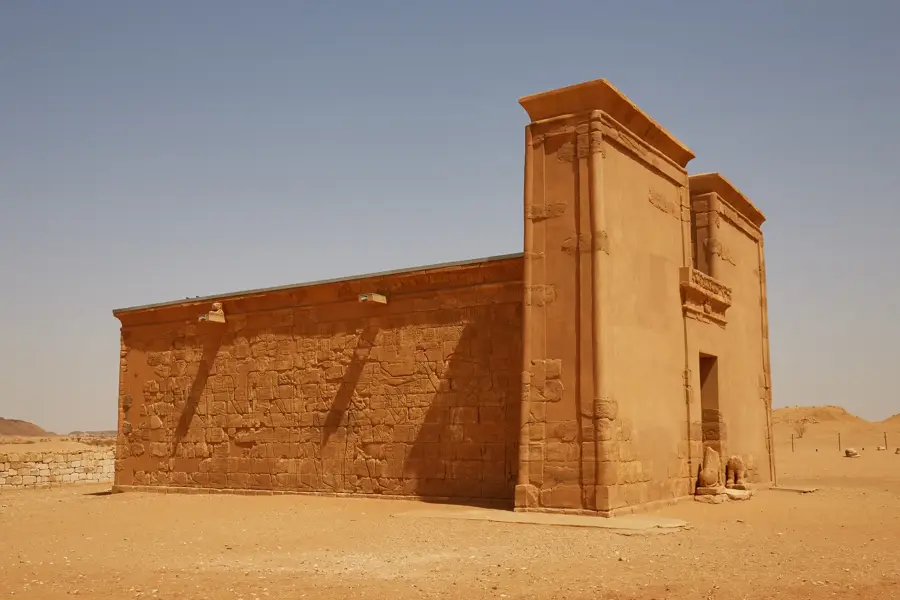
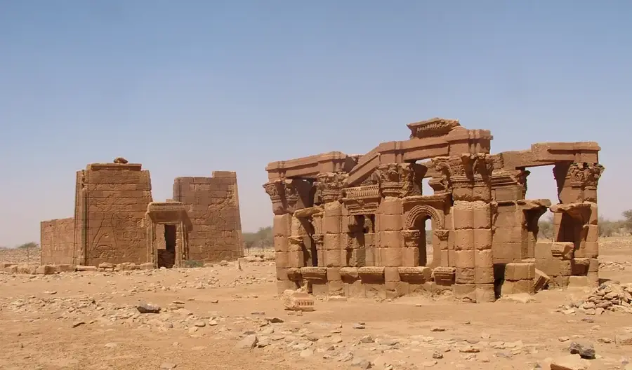
History & landmarks


Nature

More places