Plizio Visual Lab
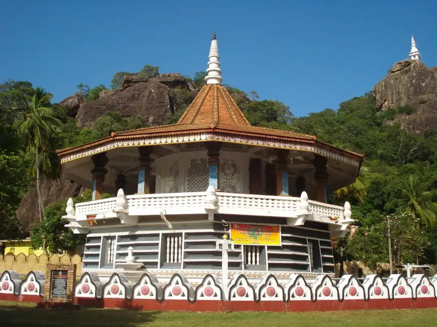
Dimbulagala Raja Maha Vihara
Weather…
Water temperature…
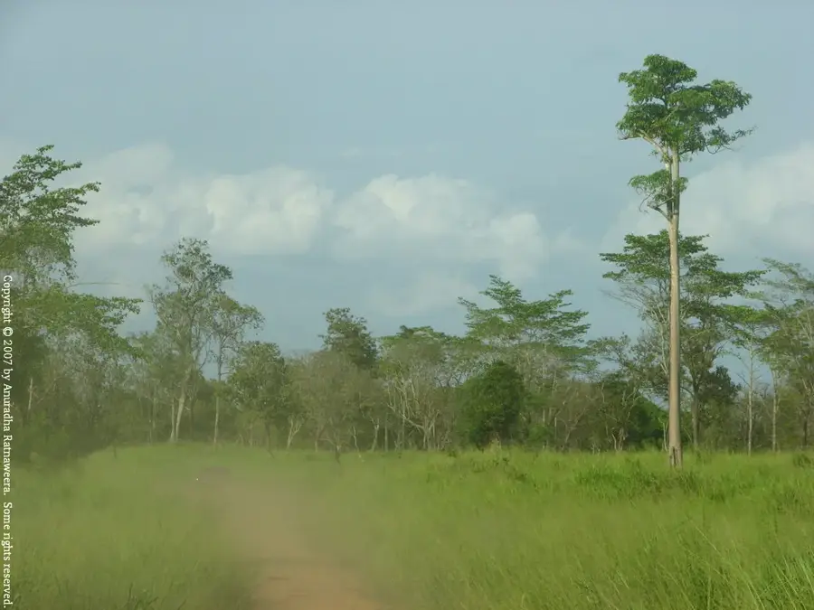
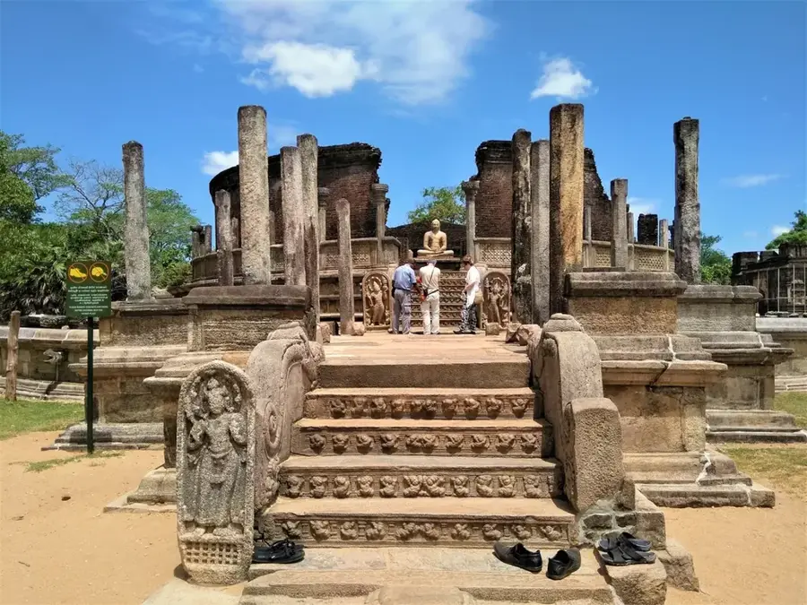
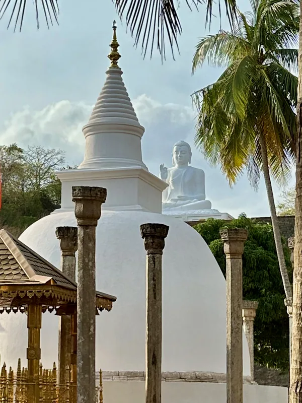
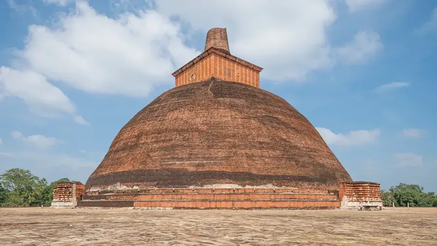
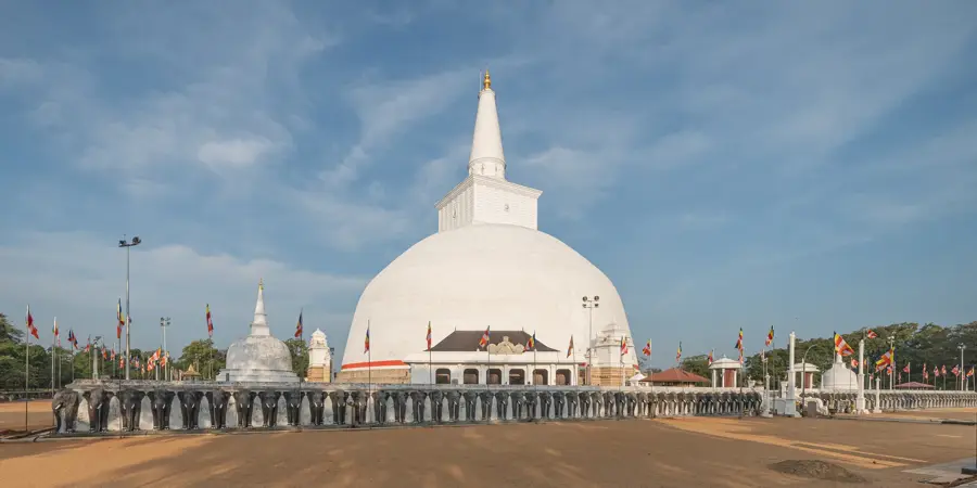
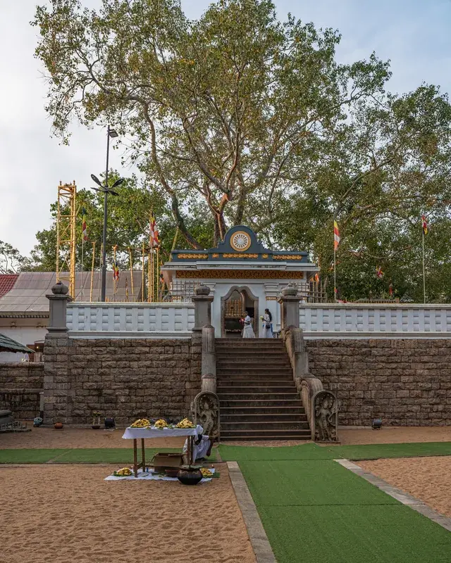
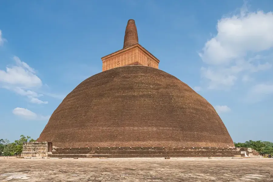
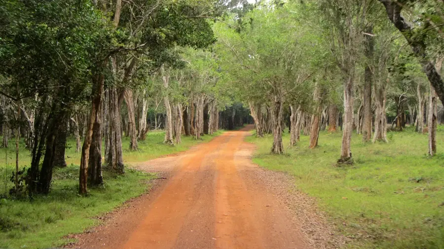
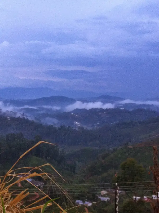
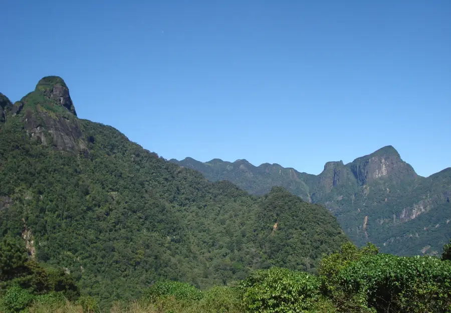
The Dimbulagala Raja Maha Vihara is an ancient Buddhist monastery complex situated in the Polonnaruwa District of Sri Lanka. Its historical origins trace back to the reign of King Pandukabhaya in the 4th century BC, though it gained significant prominence during the 12th century under King Parakramabahu I. The site served as a vital spiritual center for forest-dwelling monks and played a crucial role in the purification of the Buddhist clergy during the medieval period. The monastery is carved into the slopes of a massive rock outcrop that rises approximately 545 meters above sea level. The complex contains numerous rock caves adorned with early Brahmi inscriptions, indicating its long-standing religious use. Archaeologists have discovered remnants of ancient stupas, image houses, and irrigation systems within the vicinity. Today, the temple remains an active place of worship and a significant archaeological site reflecting the monastic traditions of ancient Ceylon. Its strategic location offered both seclusion for meditation and a commanding view over the dry zone landscapes.
- Location: Sri Lanka
- Top sights: Namal Pokuna Vihara Ruins · Dimbulagala Temple Viewpoint · Manampitiya Bridge
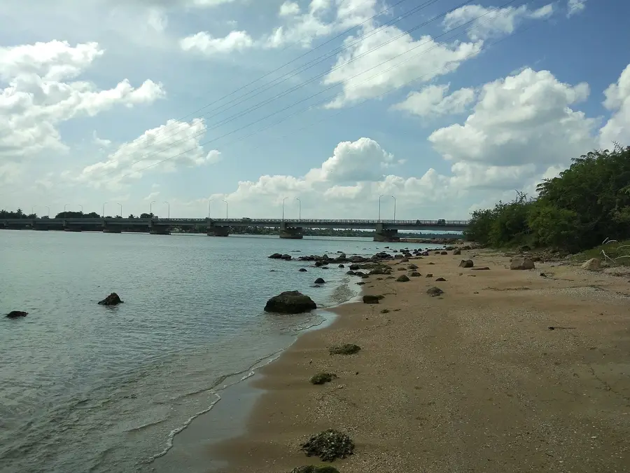
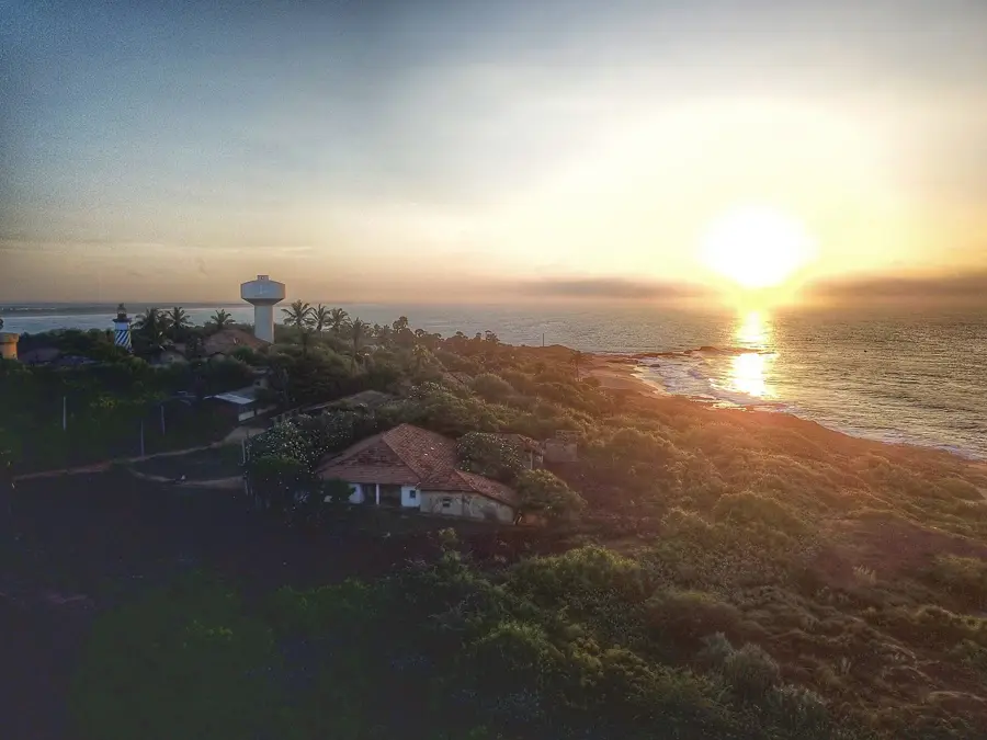
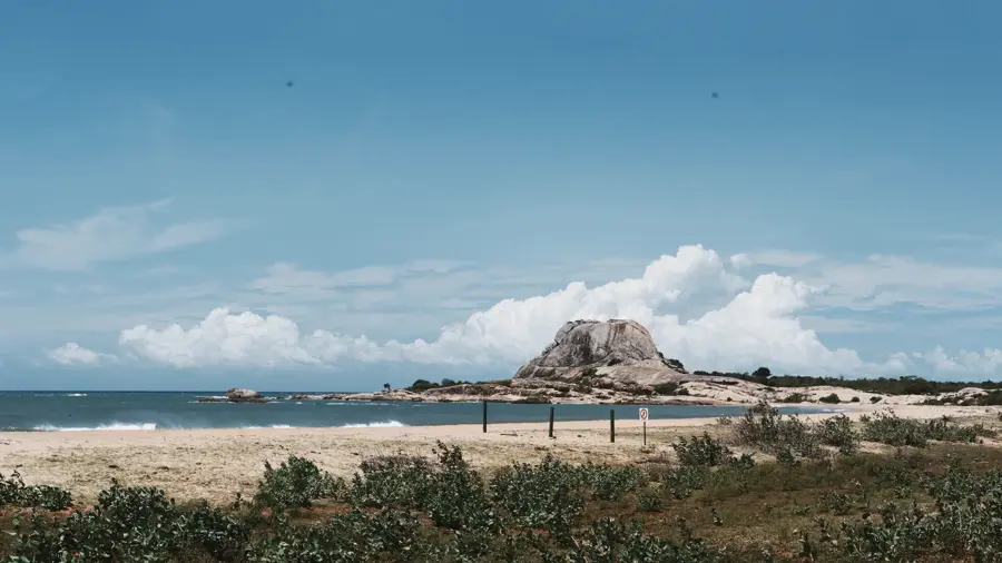
- Nearby: Marble Beach (14 km)
Best time to visit & climate
The most pleasant time to visit is Jun–Aug.
| Jan | Feb | Mar | Apr | May | Jun | Jul | Aug | Sep | Oct | Nov | Dec | |
|---|---|---|---|---|---|---|---|---|---|---|---|---|
| Avg °C | 25 | 26 | 27 | 29 | 29 | 28 | 28 | 29 | 29 | 28 | 26 | 25 |
| Rain mm | 152 | 113 | 86 | 120 | 106 | 35 | 37 | 50 | 80 | 222 | 331 | 331 |
📋 Practical info
Geography
Facts
- The monastery is located roughly 20 kilometers southeast of the ancient city of Polonnaruwa.
- The main rock outcrop stands at an elevation of approximately 545 meters above sea level.
- More than 500 monks resided in the complex during its peak in the 12th century.
- Brahmi inscriptions found in the caves date back to between the 3rd and 2nd centuries BC.
- King Parakramabahu I established a dedicated educational institution here for monks.
- The site contains the ruins of the Akasa Chaitya, built atop the highest point of the rock.
Explore nearby
Notable places around
Route planner — Car & Motorhome
Where do you start? We build the route here, with stops and country notes along the way.
© OpenStreetMap contributors · OpenRouteService
Sights in the town Dimbulagala Raja Maha Vihara (5)
Sights nearby
Frequently asked questions
What is Dimbulagala?
Is the hike difficult?
Are there inscriptions there?
Can you meet the monks?
What is special about the view?
Dimbulagala Raja Maha Vihara: where is it located?
Dimbulagala Raja Maha Vihara: what is there to see?
Dimbulagala Raja Maha Vihara: when is the best time to visit?
Dimbulagala Raja Maha Vihara: why is it worth visiting?

Nearby cities
History & landmarks
Nature
More places