Plizio Visual Lab
Namunukula
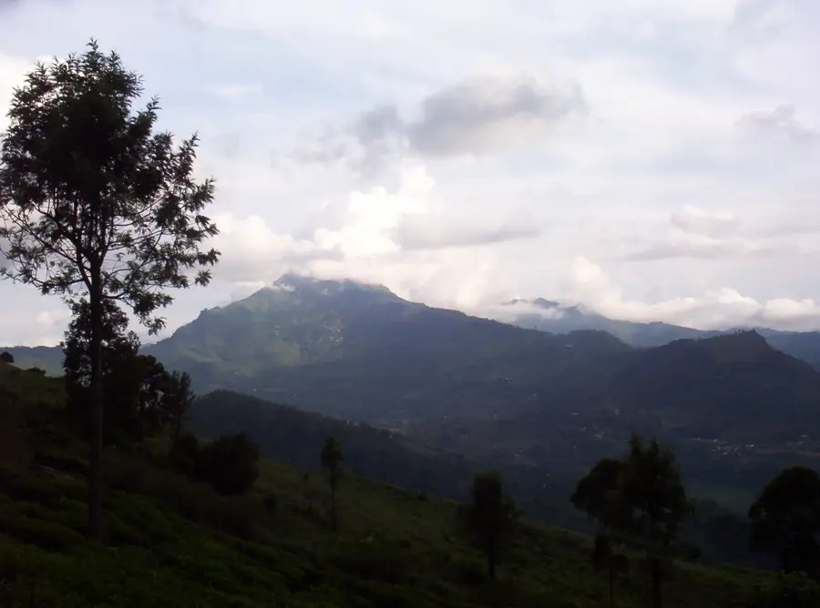
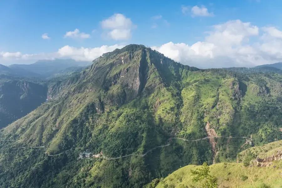
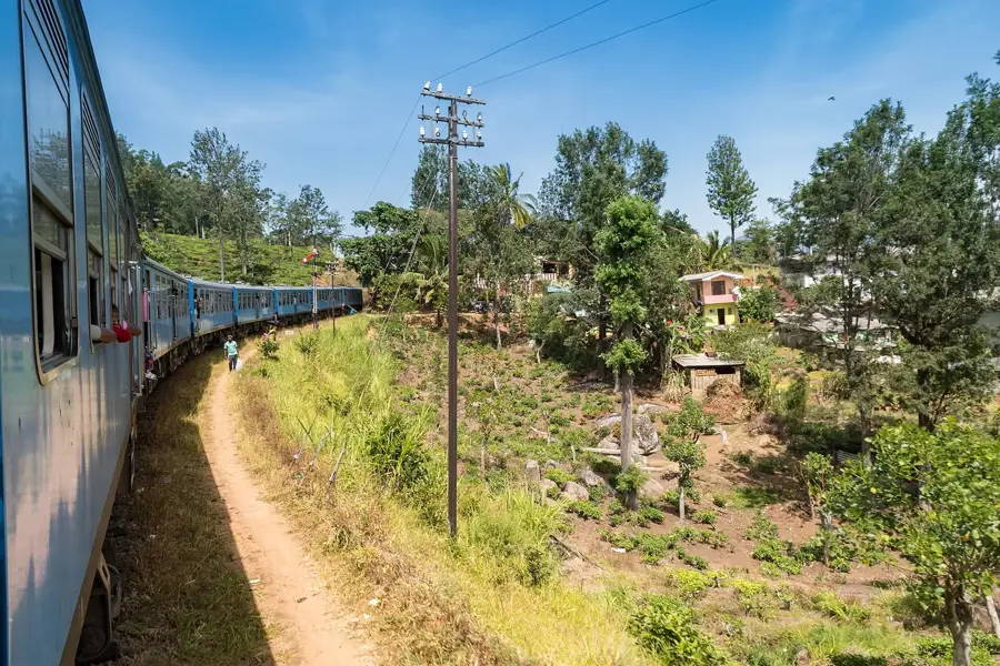
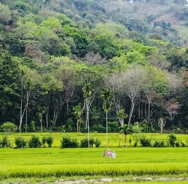
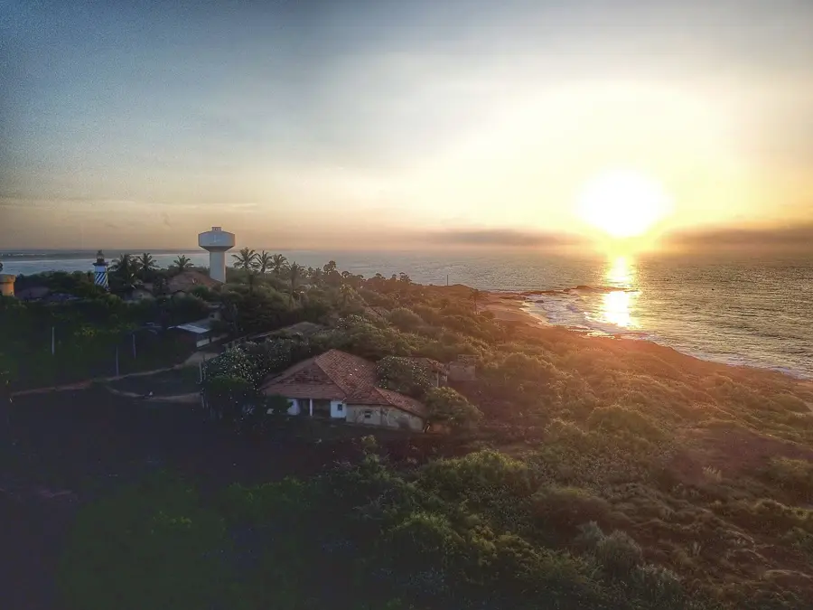
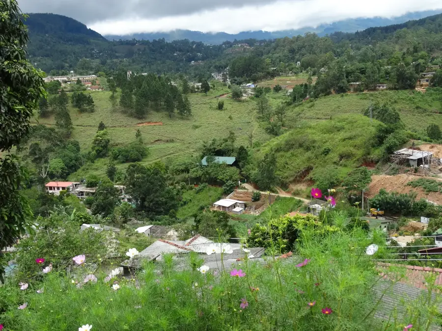
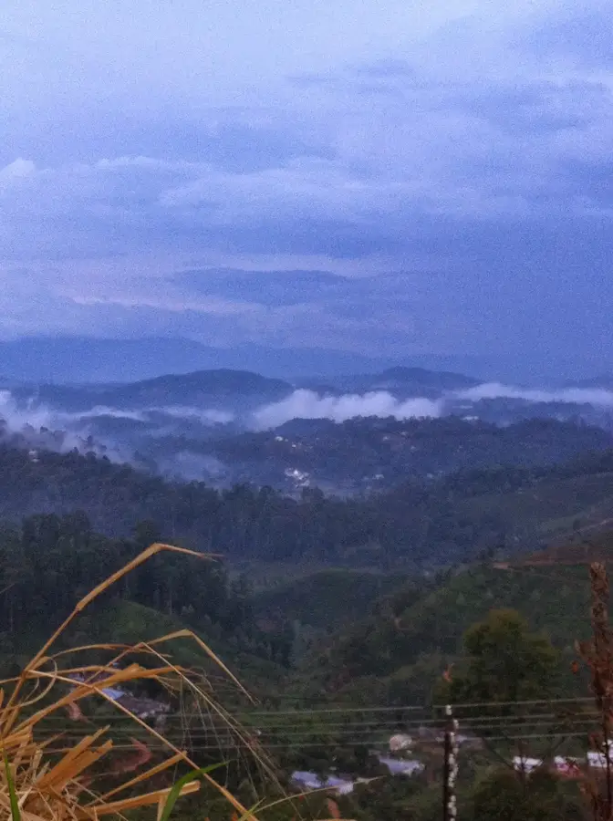
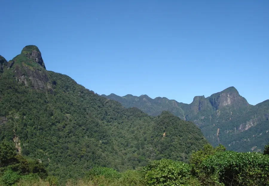
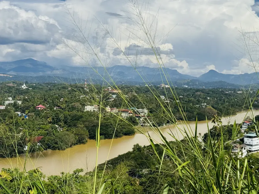
Namunukula is a distinctive mountain range located near the city of Badulla in the Uva Province, reaching an altitude of 2,035 meters. The name translates to 'Nine Peaks,' referring to the characteristic silhouette of the massif. The ascent to the main summit leads through extensive tea plantations and dense montane forests, making it one of the most easy on the eye hikes in the eastern highlands. From the top, a panoramic panoramic view is offered, which on clear days can extend all the way to the southern coast of Sri Lanka. The region is known for its pleasant climate and the production of high-quality Uva tea. Namunukula is also an important water catchment area, supplying the surrounding valleys with fresh spring water. For travelers wishing to hike off the beaten path, this mountain gives a peaceful atmosphere and an authentic insight into the rural highlands.
- Location: Sri Lanka
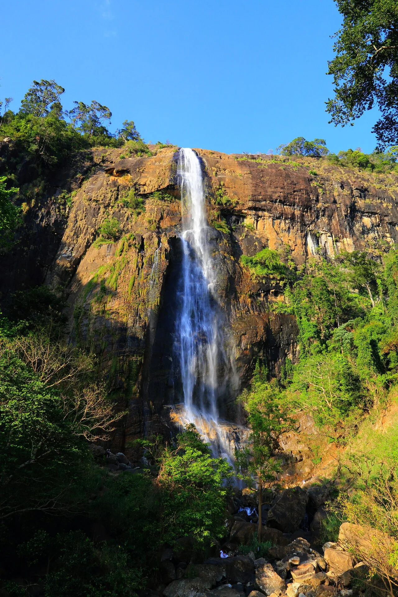
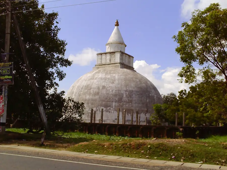
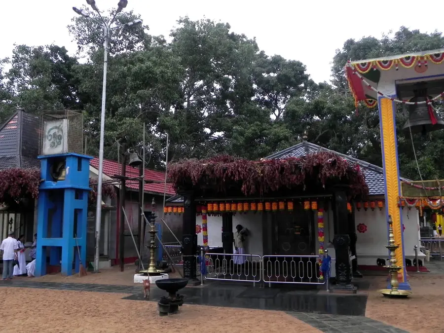
- Top sights: Adi Hate Wala Waterfall · Pallegama Art Center · Kirigala Temple
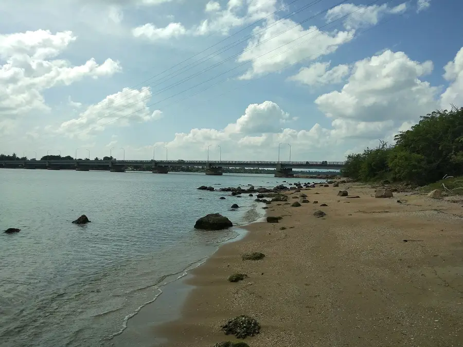
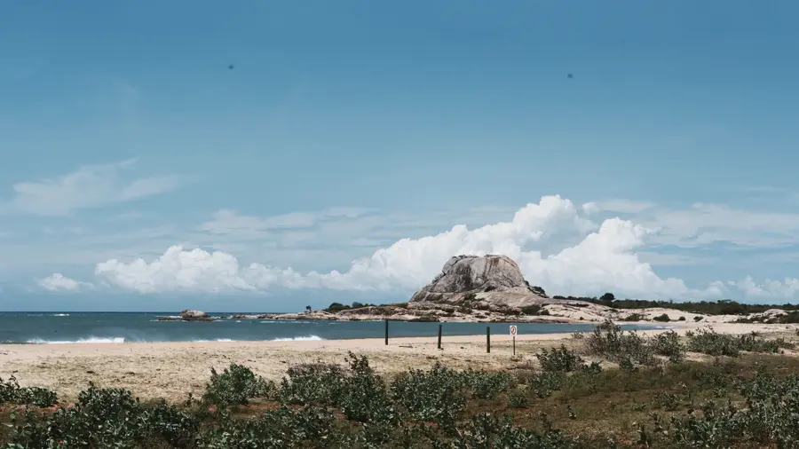
- Nearby: Hambantota (14 km)
Best time to visit & climate
The most pleasant time to visit is Feb, Jun, Jul.
| Jan | Feb | Mar | Apr | May | Jun | Jul | Aug | Sep | Oct | Nov | Dec | |
|---|---|---|---|---|---|---|---|---|---|---|---|---|
| Avg °C | 23 | 23 | 25 | 26 | 26 | 26 | 26 | 26 | 26 | 25 | 24 | 23 |
| Rain mm | 144 | 106 | 102 | 155 | 128 | 62 | 50 | 65 | 112 | 221 | 289 | 262 |
📋 Practical info
Geography
Facts
- The maximum height of Namunukula is 2,035 meters.
- It is the highest mountain located in the Uva Province.
- The name Namunukula is derived from the nine peaks of the massif.
- The mountain is situated about 10 kilometers east of Badulla town.
- The sea on the southern coast can often be seen from the summit.
- The slopes are famous for producing robust and aromatic Ceylon tea.
Explore nearby
Notable places around
Route planner — Car & Motorhome
Where do you start? We build the route here, with stops and country notes along the way.
© OpenStreetMap contributors · OpenRouteService
Sights in the town Namunukula (6)
Sights nearby
Frequently asked questions
How high is the Namunukula summit?
What can you see from the summit?
Is the climb difficult?
Are there water sources on the mountain?
How long does the entire hike take?
Namunukula: where is it located?
Namunukula: what is there to see?
Namunukula: when is the best time to visit?
Namunukula: why is it worth visiting?

Nearby cities
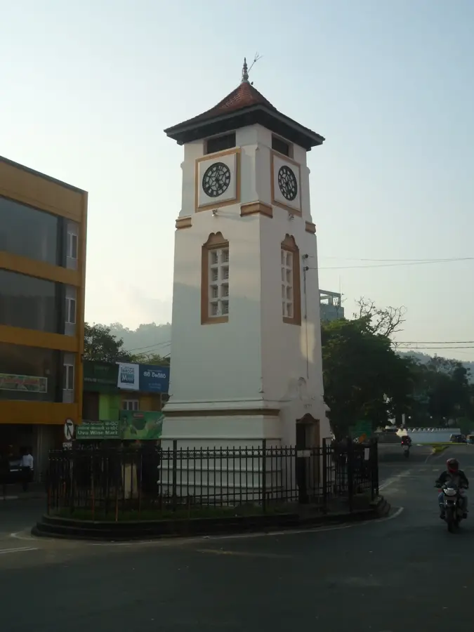
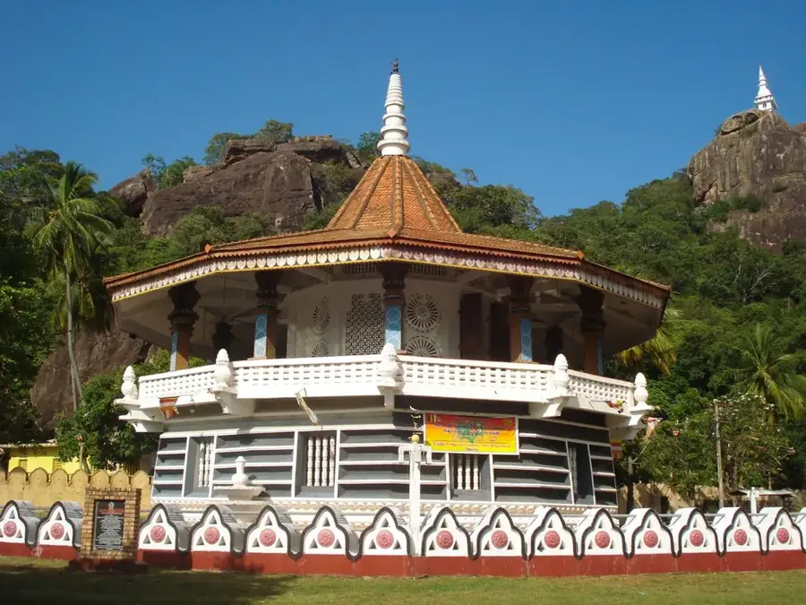
History & landmarks
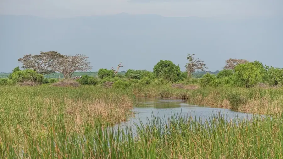
Nature
More places