Plizio Visual Lab
Moneragala
ℹ️Practical info — Moneragala
▾
🌤 Weather — 5 days
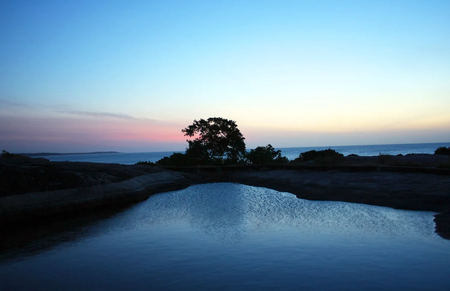
📍 Nearby
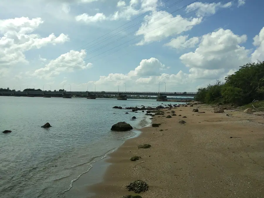
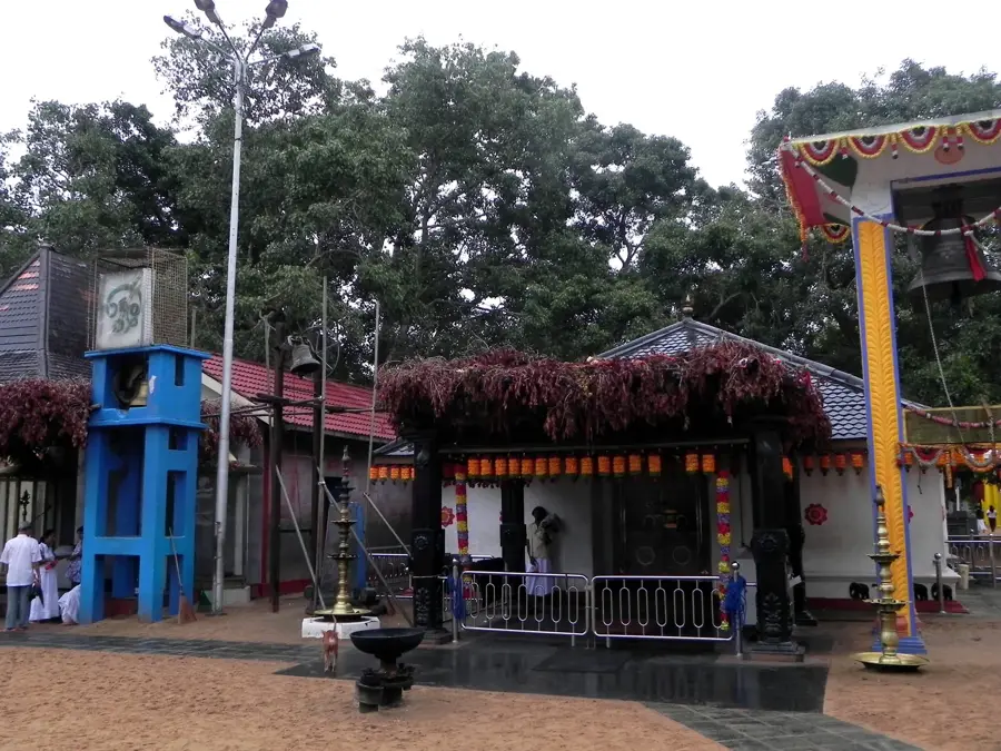
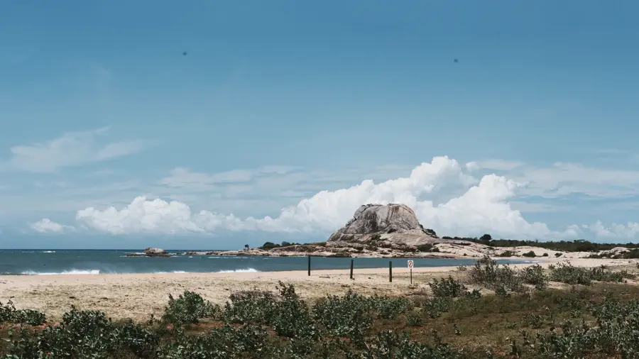
Sights nearby
💡 Tips
- Start your day trips early to avoid the intense midday heat typical of this dry zone.
- Use buses for intercity travel, but hiring a tuk-tuk is better for reaching nearby rural attractions.
- Bring plenty of water when visiting the surrounding nature reserves.
- Local roadside stalls offer the freshest seasonal tropical fruits, a great way to cool down.
- Keep an eye out for wild elephants on rural roads, especially around dusk.
🍽 Food
Local guesthouses serve this authentic dish made with fresh fish.
Sweet buffalo curd that you can buy at stalls along the main roads.
A spicy snack, good to try in small roadside cafes.
🛍 Shopping · 🧘 Quiet spots
Buy fresh papayas and bananas directly at the stalls along the main roads.
A bustling market in the town center, handy for local spices and produce.
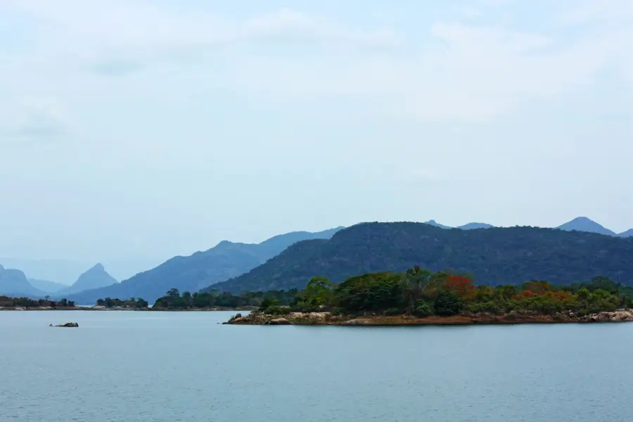
A peaceful reservoir, great for a picnic or a walk along the banks.
The lower slopes of this mountain offer a quiet setting for light hikes.
Water temperature…
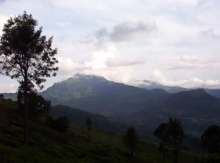
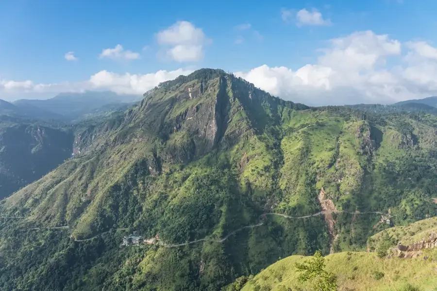
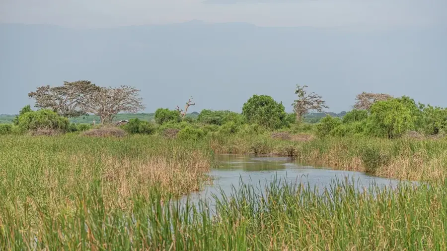
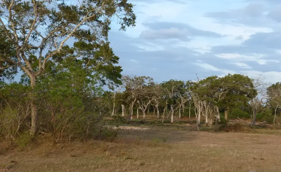
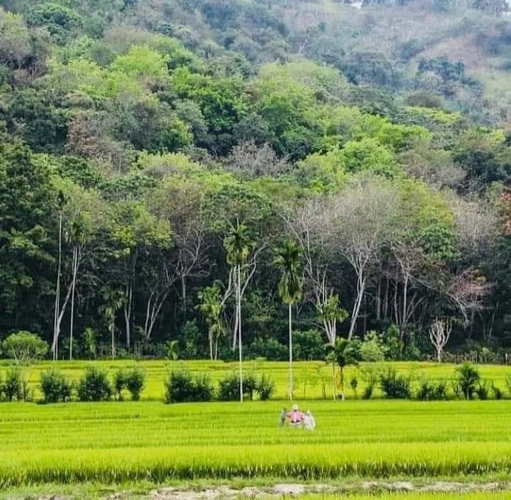
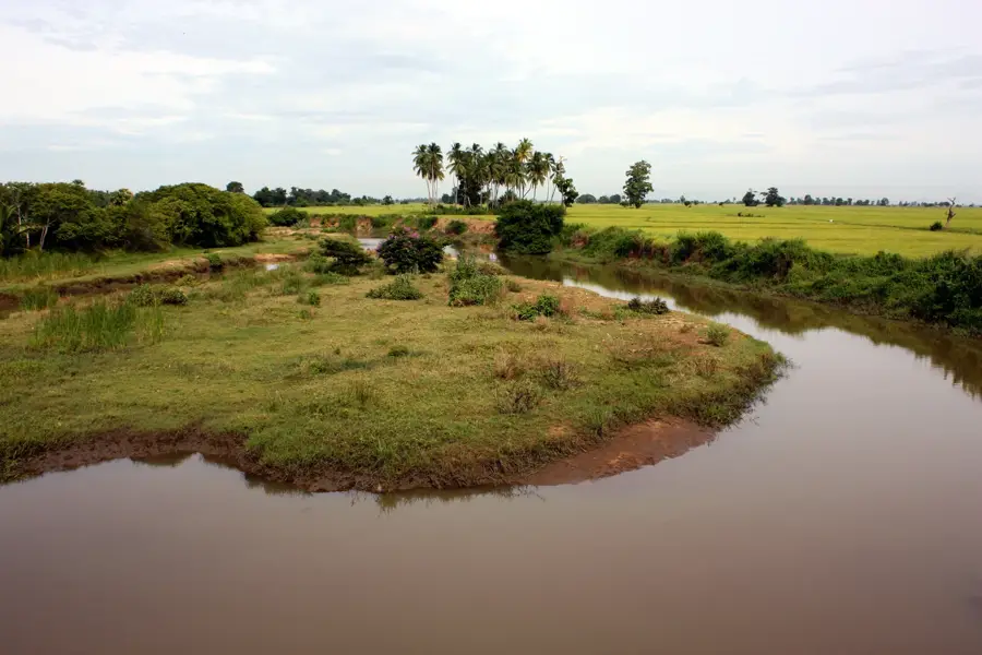
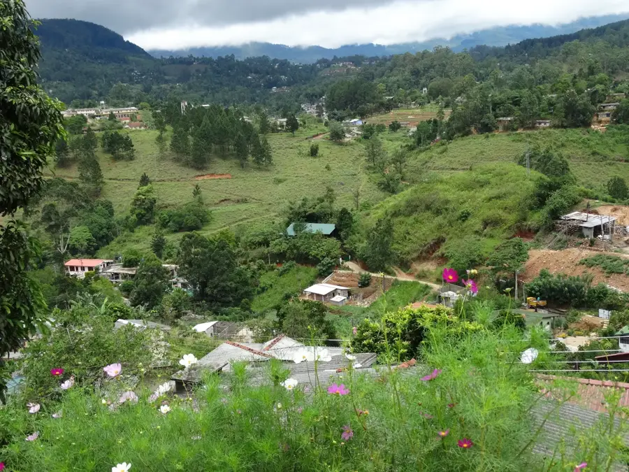
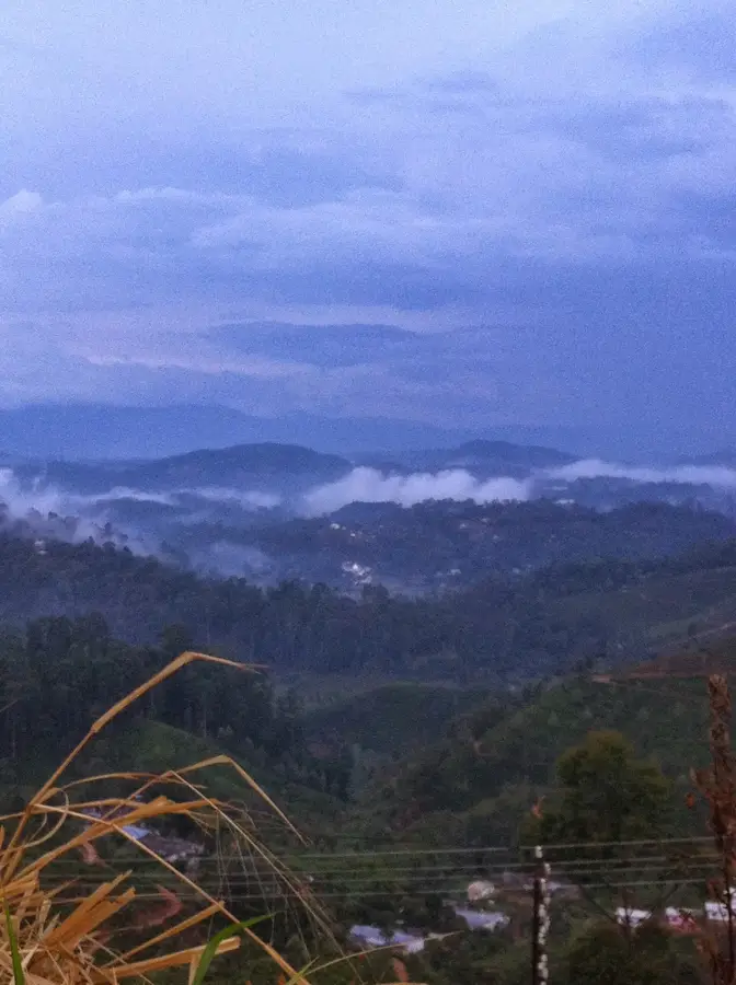
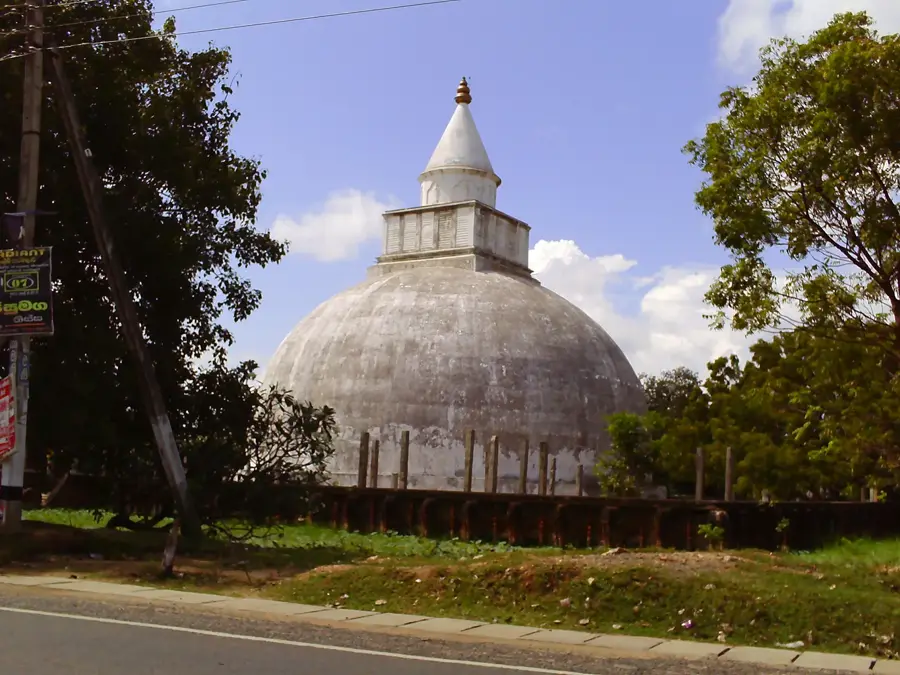
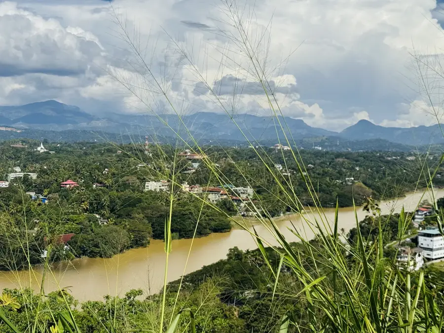
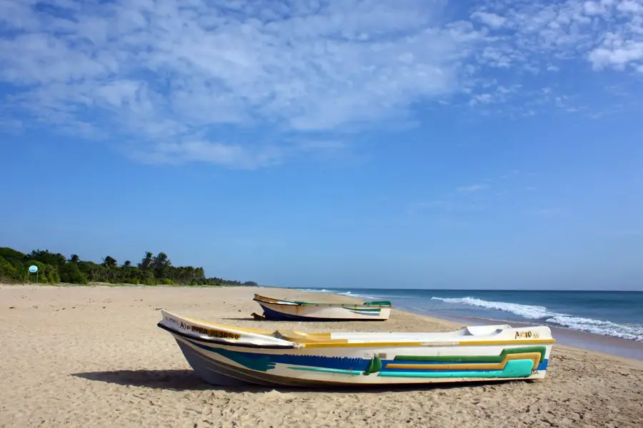
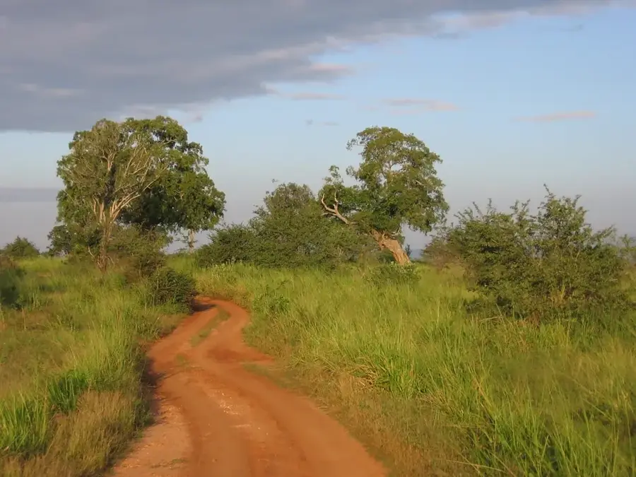
Moneragala is the capital of the Moneragala District in the Uva Province of southeastern Sri Lanka. The district is one of the largest by land area in the country, and the town serves as its primary administrative and commercial hub. Historically, the region was part of the Ruhuna Kingdom and played a significant role in the local resistance against colonial powers, particularly during the British period. The economy of Moneragala is deeply rooted in agriculture, with large-scale cultivation of sugarcane, rubber, and paddy. The presence of major sugar refineries in the vicinity underscores its industrial importance. Geographically, the area is characterized by vast plains interspersed with dramatic inselbergs or isolated hills. The climate is generally hot and dry, falling within the island's dry zone. Moneragala is a gateway to several natural and historical landmarks, including Gal Oya National Park and the ancient Maligawila Buddha statue. The town continues to grow as an important link between the southern coastal belt and the central highlands.
- Location: Sri Lanka
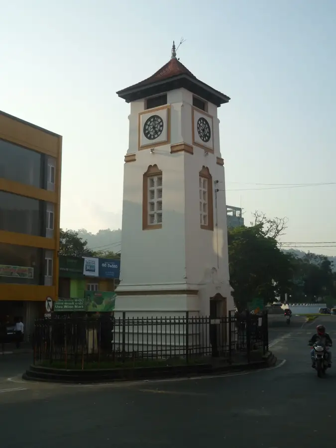
- Top sights: Green Park · Pradeshiya Sabha Children Park
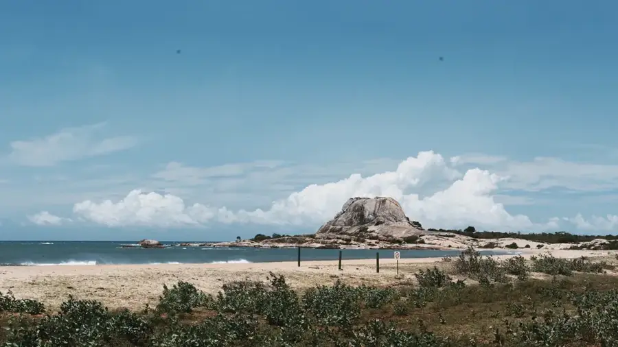
- Nearby: Kirinda (11 km)
- Population: ~10.236 (2018)
Best time to visit & climate
The most pleasant time to visit is Feb, Jun, Jul.
| Jan | Feb | Mar | Apr | May | Jun | Jul | Aug | Sep | Oct | Nov | Dec | |
|---|---|---|---|---|---|---|---|---|---|---|---|---|
| Avg °C | 23 | 23 | 25 | 26 | 26 | 26 | 26 | 26 | 26 | 25 | 24 | 23 |
| Rain mm | 144 | 106 | 102 | 155 | 128 | 62 | 50 | 65 | 112 | 221 | 289 | 262 |
Geography
Facts
- Moneragala is the second largest district in Sri Lanka by land area.
- The town is situated at the base of the Moneragala mountain range.
- The Pelwatte Sugar Industries is a cornerstone of the local economy.
- The 7th-century Maligawila Buddha statue is a major archaeological site nearby.
- The region is known for its biodiversity, including significant leopard and elephant populations.
- Moneragala serves as a vital transit point for goods traveling to the Eastern Province.
Explore nearby
Notable places around
Route planner — Car & Motorhome
Where do you start? We build the route here, with stops and country notes along the way.
© OpenStreetMap contributors · OpenRouteService
Sights in the town Moneragala (2)
Frequently asked questions
What are the highlights in Moneragala?
Is Moneragala an agricultural region?
How do you get to Moneragala?
When is the best time to visit?
Are there waterfalls nearby?
Moneragala: where is it located?
Moneragala: what is there to see?
Moneragala: when is the best time to visit?
Moneragala: why is it worth visiting?

Nearby cities
History & landmarks
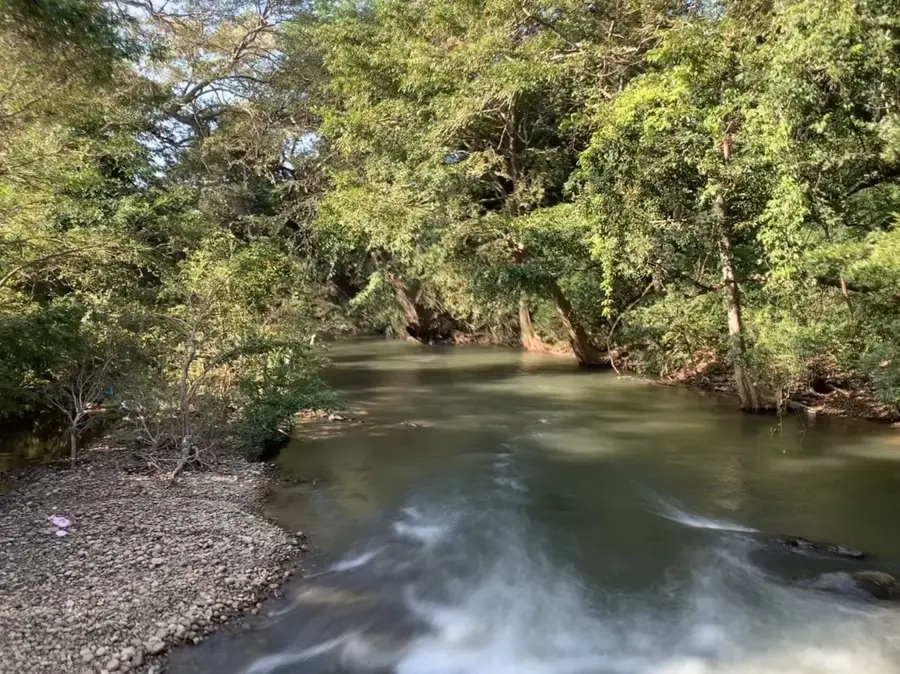
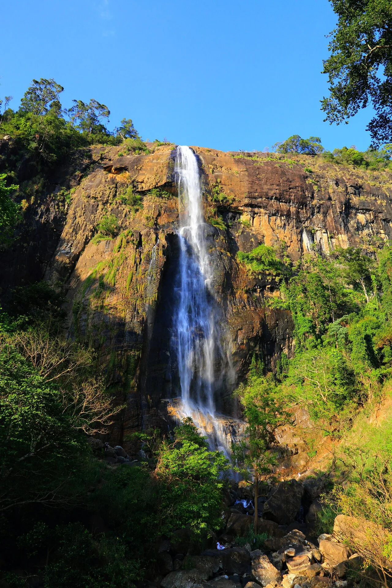
Nature
More places