Plizio Visual Lab
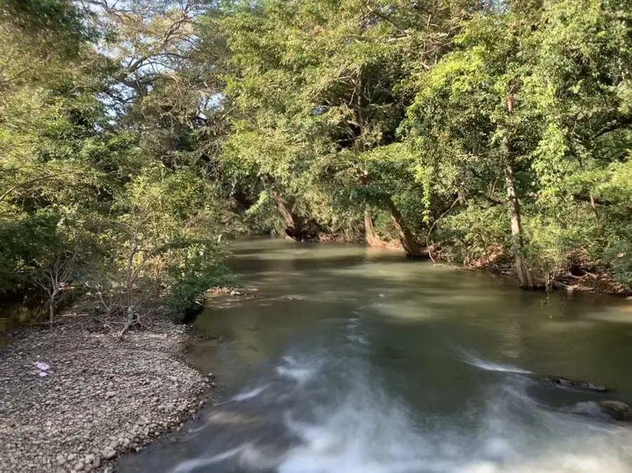
Walawe River
Weather…
Water temperature…
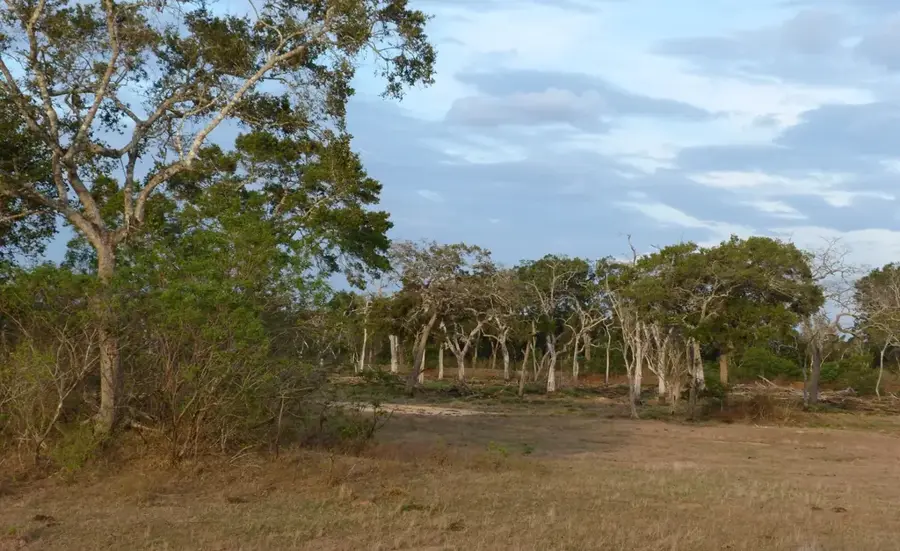
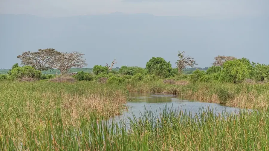
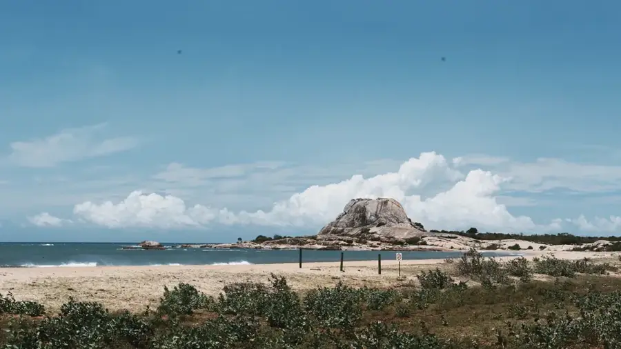
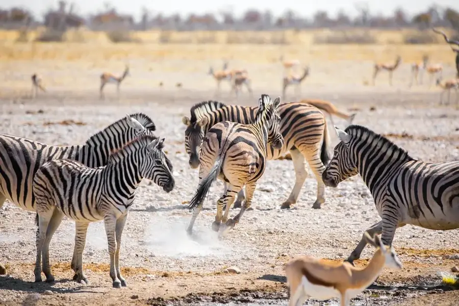
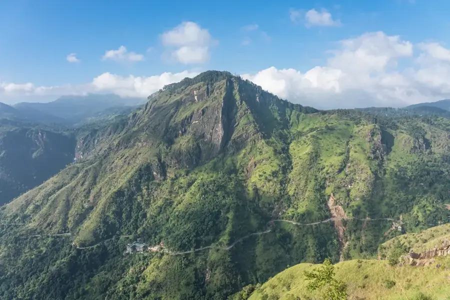
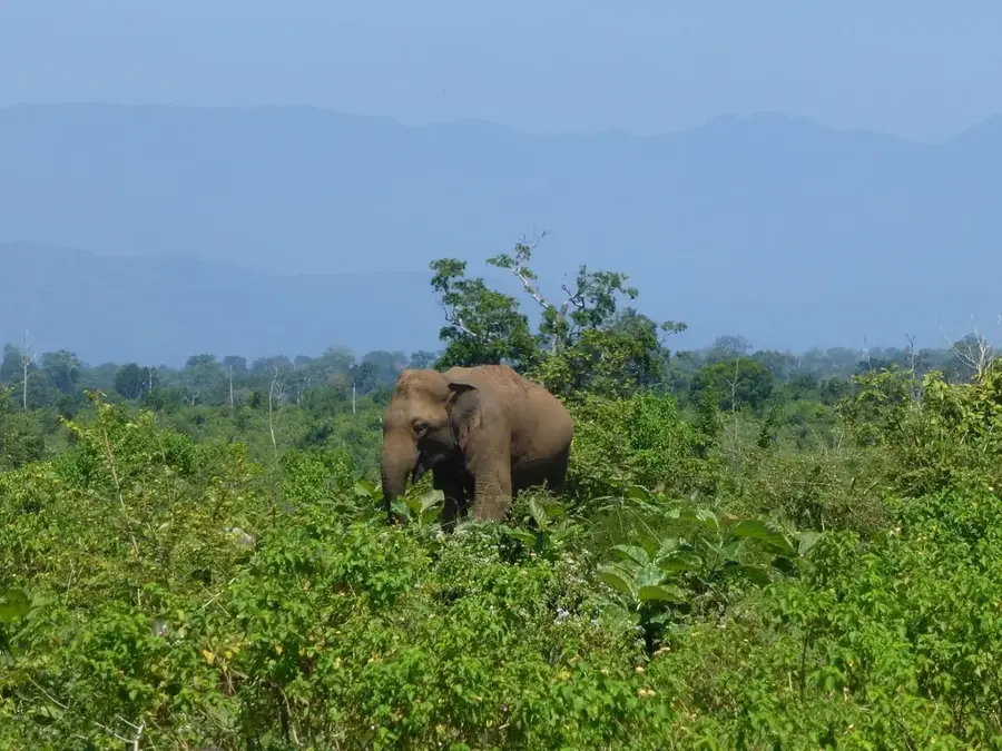
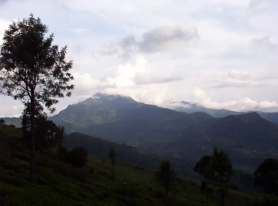
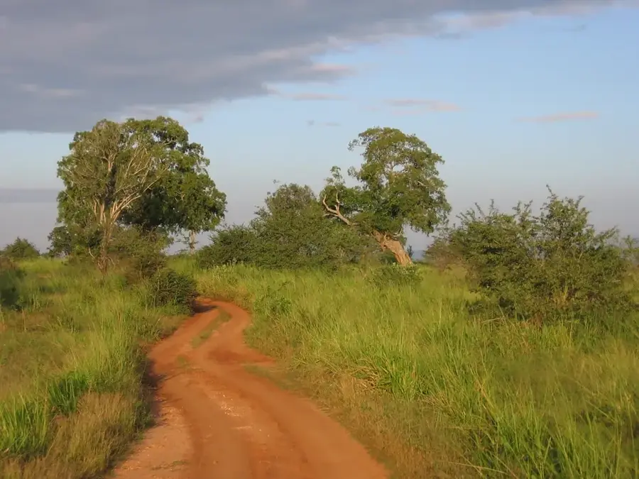
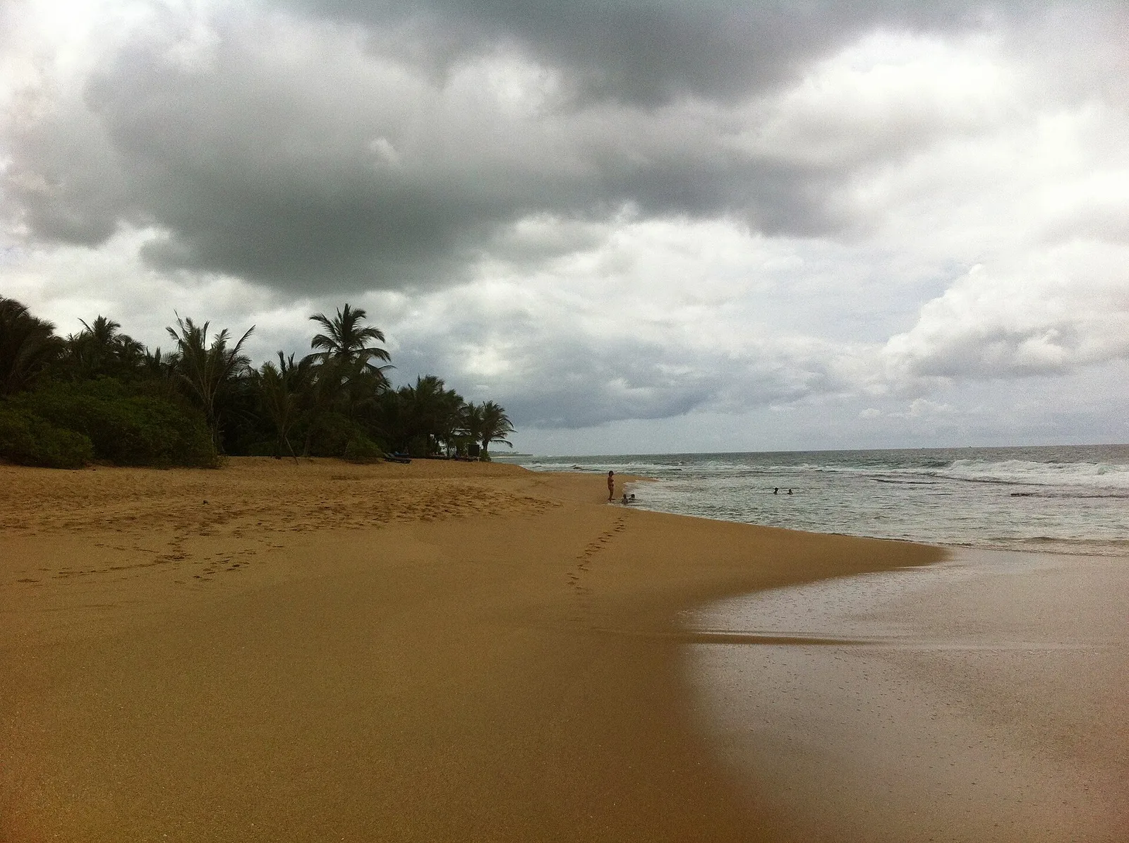
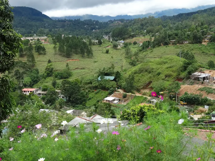
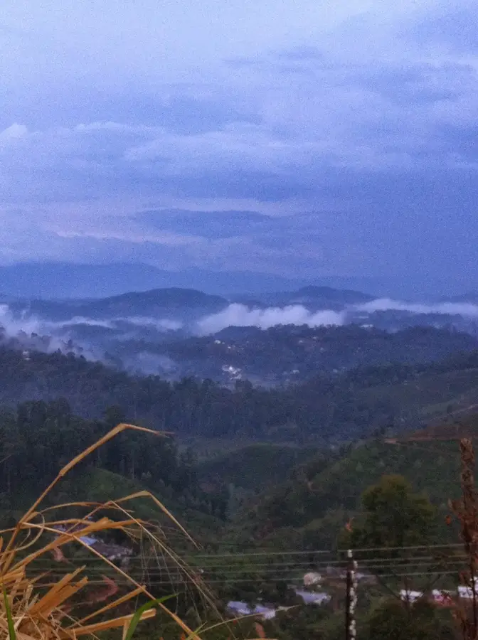
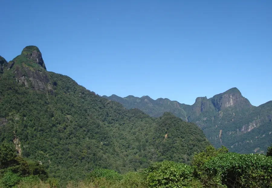
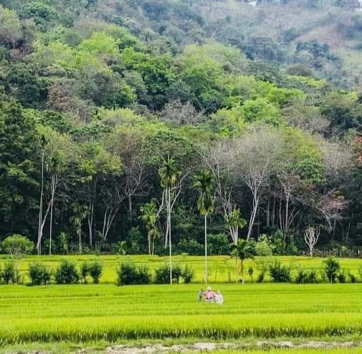
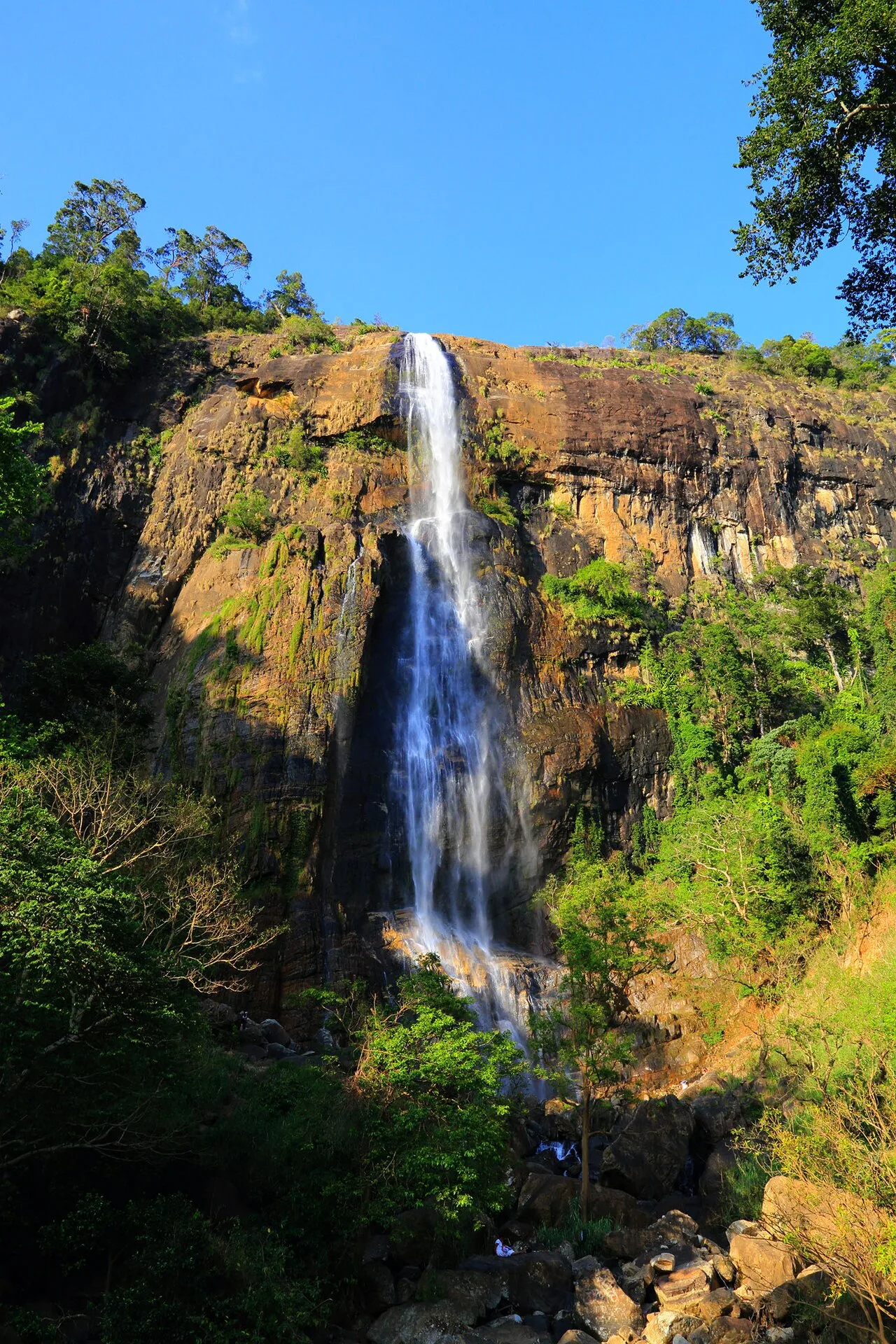
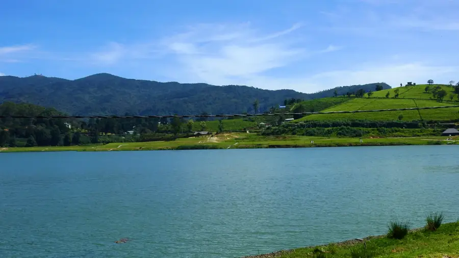
The Walawe River spans 138 kilometers and is a vital waterway in southern Sri Lanka, originating in the Adam's Peak mountain range. It flows in a southward direction and empties into the Indian Ocean near Ambalantota. Geographically, the river is of paramount importance for conservation as it feeds the Udawalawe Reservoir, which is the centerpiece of Udawalawe National Park. This water system is the primary life source for the park's famous elephant populations and numerous other wildlife species. Economically, the river plays a key role in irrigating the dry southern plains, enabling large-scale cultivation of rice and other essential crops. Historically, the river's resources have been harnessed for agriculture for centuries, and modern dam projects have further enhanced its capacity. The scenery along the Walawe transitions from dense montane forests at its source to wide, open plains as it approaches the coast.
- Location: Sri Lanka
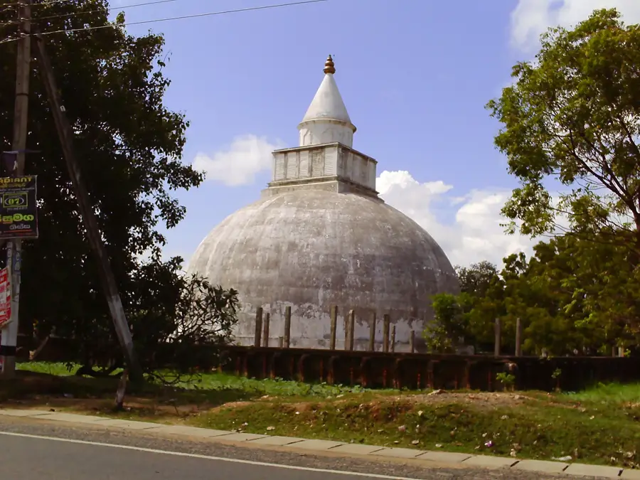
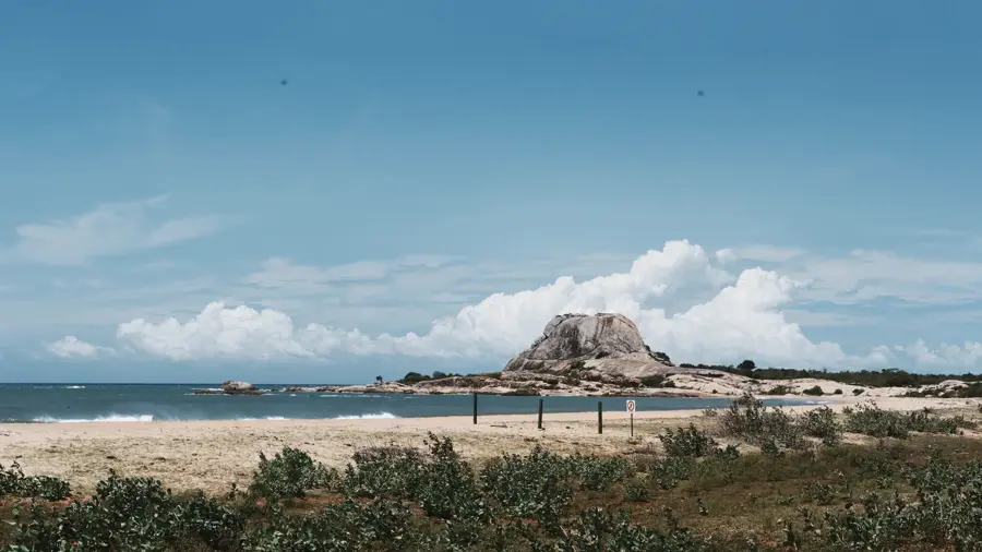
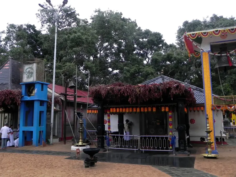
- Top sights: Godavaya wildlife sanctuary viewpoint · Ussangoda National Park · Gotha Pabbatha Raja Maha Viharaya
- Nearby: Hambantota (11 km)
Best time to visit & climate
The most pleasant time to visit is Feb, Jul, Aug.
| Jan | Feb | Mar | Apr | May | Jun | Jul | Aug | Sep | Oct | Nov | Dec | |
|---|---|---|---|---|---|---|---|---|---|---|---|---|
| Avg °C | 26 | 27 | 28 | 28 | 28 | 28 | 27 | 27 | 27 | 27 | 27 | 27 |
| Rain mm | 156 | 114 | 129 | 225 | 210 | 120 | 100 | 118 | 177 | 275 | 333 | 268 |
📋 Practical info
Geography
Facts
- The Walawe River has a total length of 138 kilometers.
- It originates in the central highlands near Adam's Peak.
- The river feeds the Udawalawe Reservoir, a critical elephant habitat.
- It empties into the Indian Ocean at Ambalantota.
- The Walawe basin supports major paddy cultivation areas in the south.
- The river passes through several distinct climatic zones along its path.
Explore nearby
Notable places around
Route planner — Car & Motorhome
Where do you start? We build the route here, with stops and country notes along the way.
© OpenStreetMap contributors · OpenRouteService
Sights in the town Walawe River (6)
Sights nearby
Frequently asked questions
What is special about the Walawe River?
Can you go on a safari on the Walawe River?
Are there crocodiles in the Walawe River?
How do you reach the river for excursions?
Is the river navigable year-round?
Walawe River: where is it located?
Walawe River: what is there to see?
Walawe River: when is the best time to visit?
Walawe River: why is it worth visiting?

Nearby cities
History & landmarks
More places