Plizio Visual Lab
Vignemale Massif
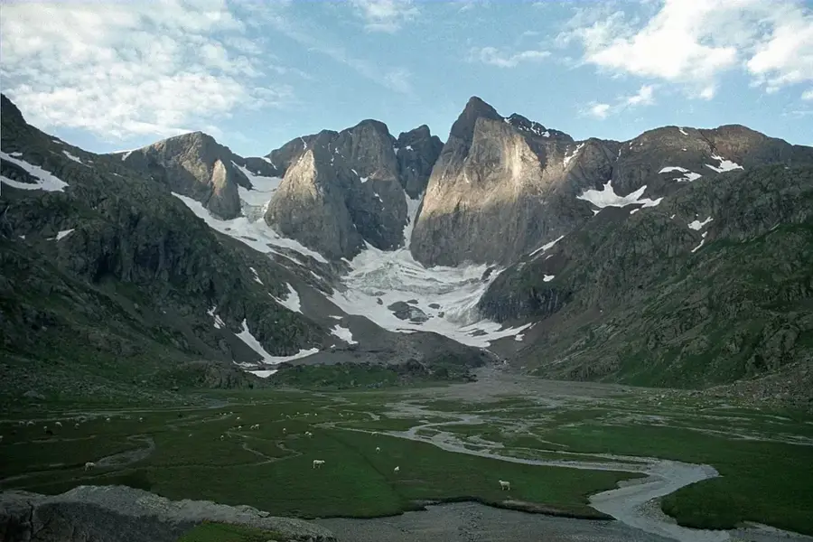
The Vignemale Massif is one of the most imposing mountain groups in the Pyrenees and is home to Pique Longue (3,298 m), the highest peak in the French Pyrenees. Located on the border between France and Spain in the Hautes-Pyrénées department, the massif is characterized by its significant glaciers, notably the Ossoue Glacier, which is the second largest in the Pyrenees. Geologically, the massif consists of Paleozoic limestone, forming steep faces and sharp ridges, including the famous North Face, a major challenge for alpine climbers. Historically, the massif is inextricably linked to Count Henry Russell, an eccentric 19th-century mountaineer who had seven caves carved into the rock to live in and host guests. Vignemale lies at the heart of the Pyrenees National Park, offering a pristine high-alpine environment with rare flora such as edelweiss. Access is most commonly via the Gaube Valley, which provides a spectacular vantage point of the mountain's rugged northern face.
- Location: Occitanie, France
- Top sights: Pic de Cerbillona · Petit Vignemale · Vignemale
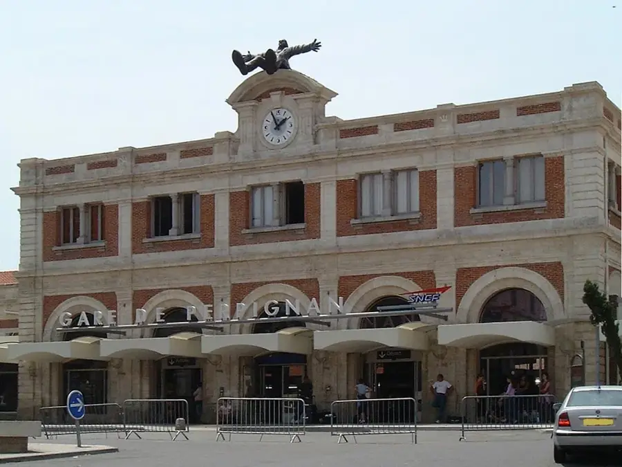
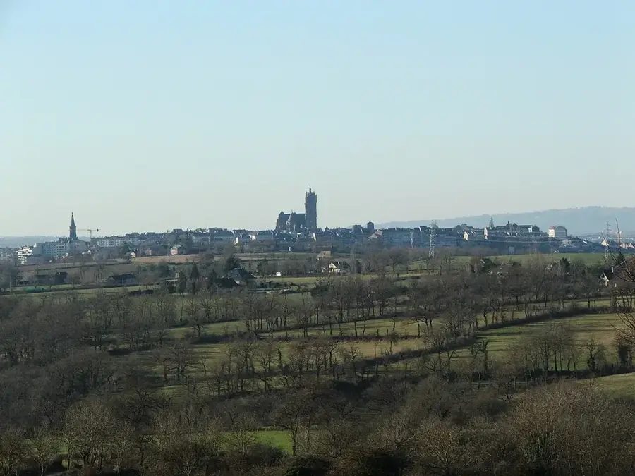
- Nearby: Gavarnie (12 km)
Best time to visit & climate
The most pleasant time to visit is Jun–Aug.
| Jan | Feb | Mar | Apr | May | Jun | Jul | Aug | Sep | Oct | Nov | Dec | |
|---|---|---|---|---|---|---|---|---|---|---|---|---|
| Avg °C | 2 | 2 | 5 | 8 | 12 | 16 | 18 | 18 | 15 | 11 | 6 | 3 |
| Rain mm | 87 | 69 | 75 | 86 | 93 | 65 | 52 | 52 | 56 | 70 | 93 | 74 |
📋 Practical info
Geography
Facts
- Pique Longue is the highest point at 3,298 meters.
- The Ossoue Glacier is the second largest in the Pyrenees.
- Count Henry Russell had seven caves dug into the mountain.
- The North Face features an 800-meter vertical drop.
- The massif marks the border between France and Spain.
- The first ascent of Pique Longue was achieved in 1837.
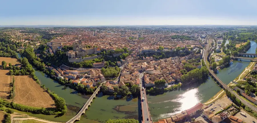
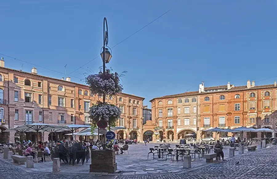
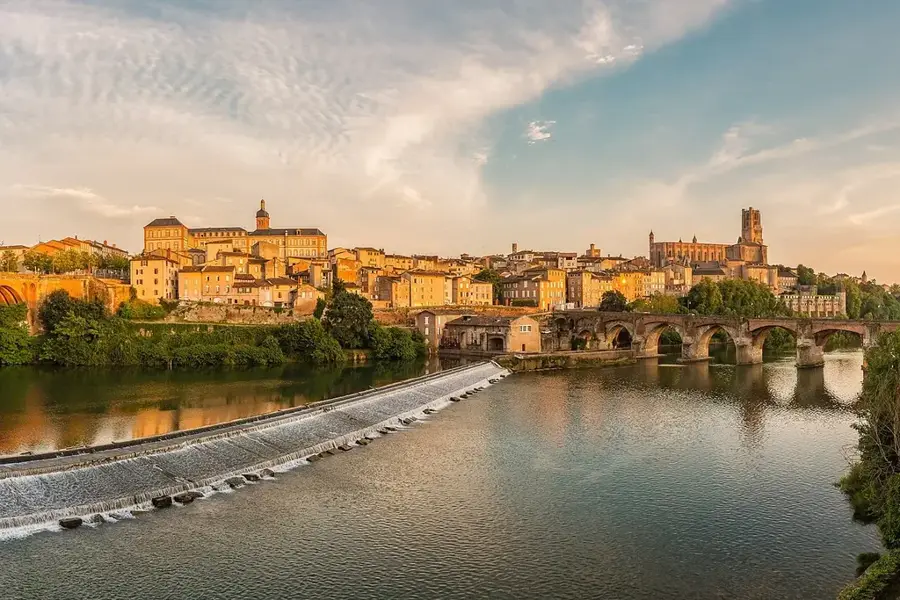
Explore nearby
Notable places around
Route planner — Car & Motorhome
Where do you start? We build the route here, with stops and country notes along the way.
© OpenStreetMap contributors · OpenRouteService
Sights in the town Vignemale Massif (3)
Sights nearby
Frequently asked questions
What makes Vignemale special?
Which hike offers the best view?
Do you need mountaineering equipment for the summit?
Who was Count Henry Russell?
Where is the best starting point for the tour?
Vignemale Massif: where is it located?
Vignemale Massif: what is there to see?
Vignemale Massif: when is the best time to visit?
Vignemale Massif: why is it worth visiting?

Nearby cities