Plizio Visual Lab
Ras Casir
Weather…
Water temperature…
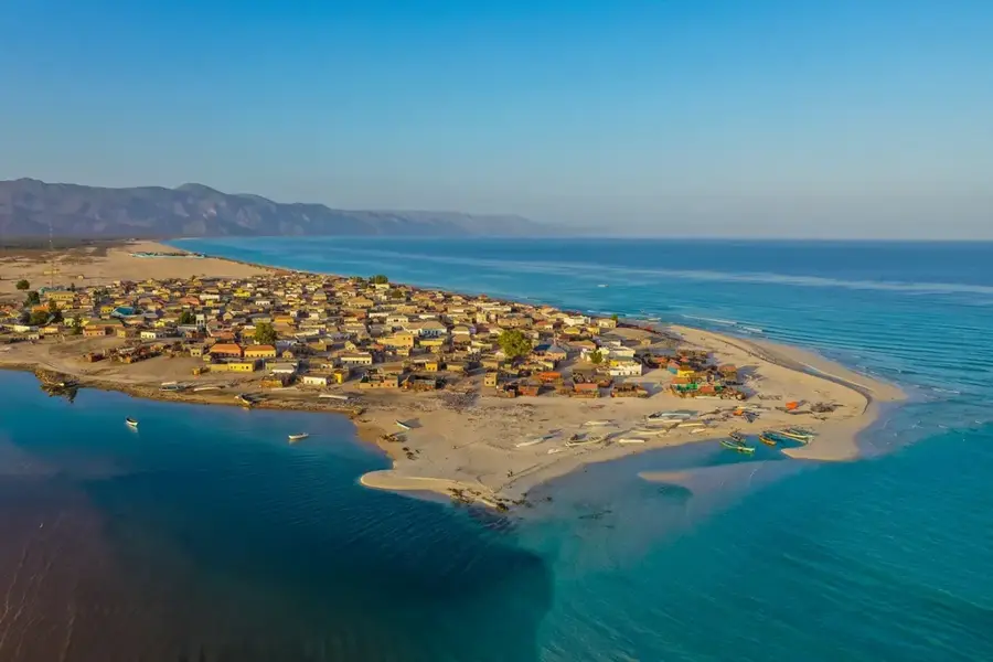
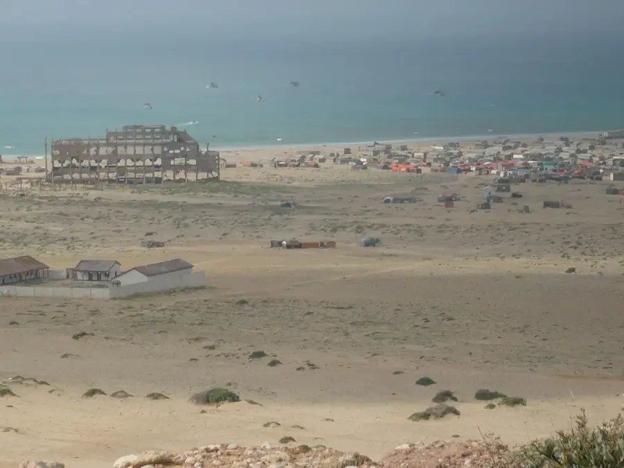
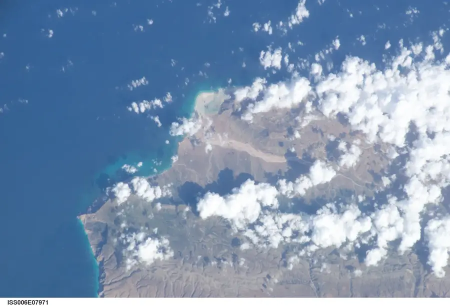
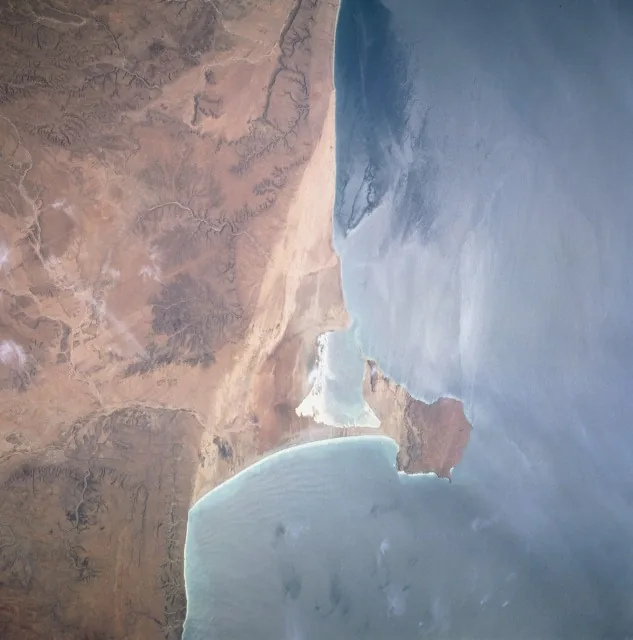
Ras Casir, historically known as Cape Guardafui, marks the northeastern tip of the Horn of Africa at the junction between the Gulf of Aden and the Indian Ocean. Geographically, it is located in the autonomous Puntland region of Somalia and represents one of the most strategically important points in global shipping. The most prominent structure is the 'Francesco Crispi' lighthouse, built by Italy in 1924, which is architecturally unique for its fascist fasces design. The waters around the cape are notorious for their strong currents and dangerous shoals, which made Guardafui a historically feared location for mariners. The landscape is barren and windswept, characterized by steep cliffs that rise hundreds of meters above sea level. Despite the inhospitable conditions, the region remains a vital landmark for maritime trade between Europe, Asia, and East Africa.
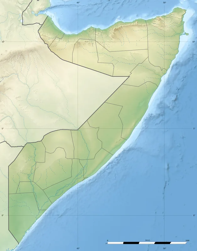
- Location: Somalia
- Nearby: Alula (72 km)
Best time to visit & climate
The most pleasant time to visit is Jan, Feb, Dec.
| Jan | Feb | Mar | Apr | May | Jun | Jul | Aug | Sep | Oct | Nov | Dec | |
|---|---|---|---|---|---|---|---|---|---|---|---|---|
| Avg °C | 24 | 24 | 26 | 28 | 30 | 31 | 31 | 30 | 29 | 27 | 26 | 25 |
| Rain mm | 4 | 1 | 3 | 5 | 6 | 2 | 7 | 5 | 7 | 6 | 21 | 6 |
📋 Practical info
Geography
Facts
- The cape is located at coordinates 11°49′N and 51°16′E.
- The Francesco Crispi lighthouse was commissioned in 1924.
- The waters are part of the Guardafui Channel, a major shipping lane.
- In antiquity, the cape was often referred to as 'Aromata Promontorium'.
- The cliffs of Ras Casir reach an elevation of about 240 meters.
- Strong monsoon winds dictate the climate for six months of the year.
Explore nearby
Notable places around
Route planner — Car & Motorhome
Where do you start? We build the route here, with stops and country notes along the way.
© OpenStreetMap contributors · OpenRouteService
Sights nearby
Frequently asked questions
What is Ras Casir?
Are there beaches there?
What is the appeal of the place?
Can one camp there?
Is a 4x4 needed?
Ras Casir: where is it located?
Ras Casir: when is the best time to visit?
Ras Casir: why is it worth visiting?

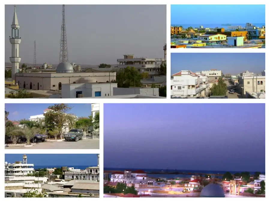
Nearby cities

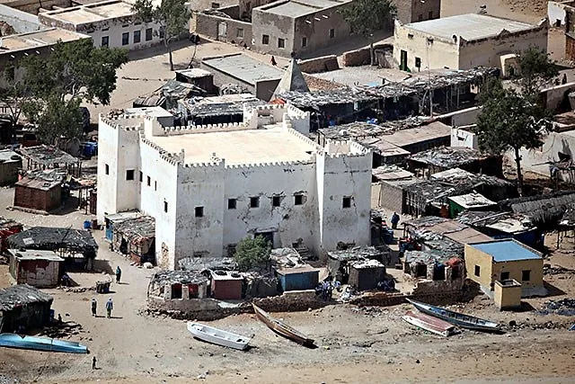
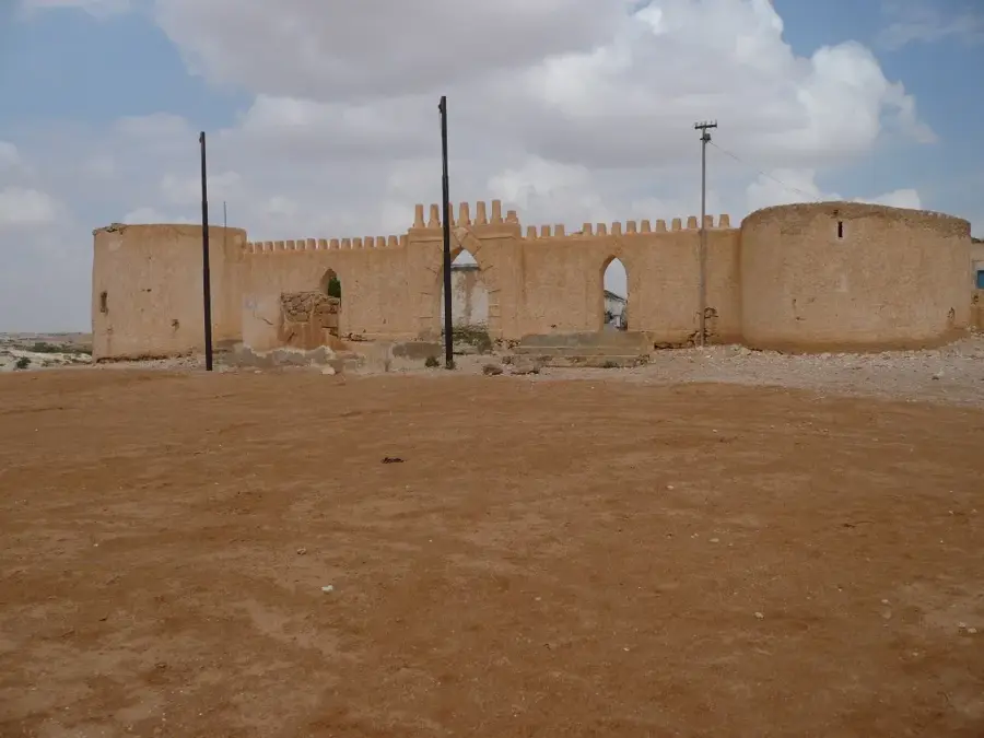
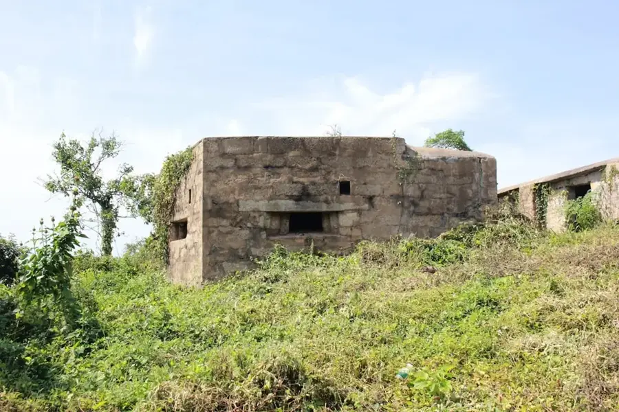
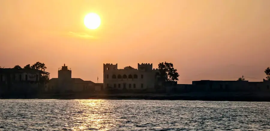
History & landmarks

Nature
More places