Plizio Visual Lab
Bandar Beyla
ℹ️Practical info — Bandar Beyla
▾
🌤 Weather — 5 days
📍 Nearby
Sights nearby
💡 Tips
- Be aware of the strong coastal winds; bring a light windbreaker even when traveling in the warmer months.
- Tourism infrastructure is very limited, so coordinate your visit and accommodation through trusted local contacts.
- The town is generally safe, but always check current regional security advisories before traveling to Puntland.
- Fresh seafood is abundant; arrange your daily meals in advance with your host as public restaurants are scarce.
🍽 Food
A local specialty often caught the same day, best arranged directly with the local fishermen.
Heavily spiced Somali rice, often served in local homes with generous portions of goat meat or fish.
Enjoy this sweet, cardamom-spiced Somali tea often generously offered by locals.
🛍 Shopping · 🧘 Quiet spots
Pure resin from the region's trees, sometimes available for purchase in the small local shops.
Occasionally made by local craftsmen in the coastal villages, ask your hosts where to find them.
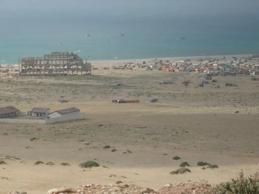
Walk along the coastline to reflect on the town's impressive resilience after the devastating tsunami.
Follow the coastline outside the main town for uninterrupted, peaceful views of the Indian Ocean.
Water temperature…
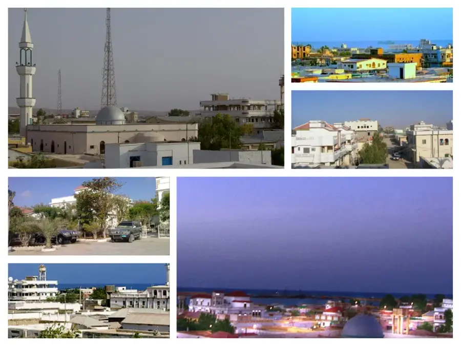
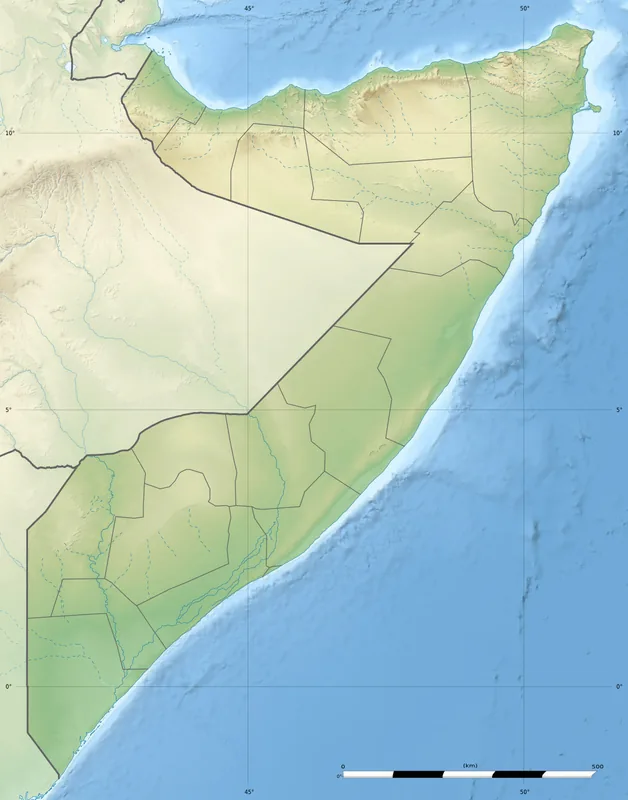
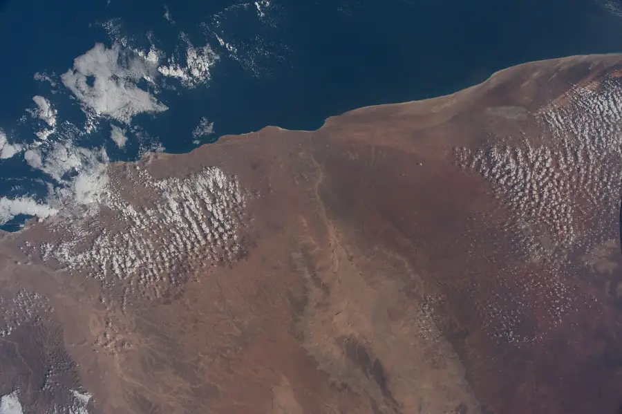
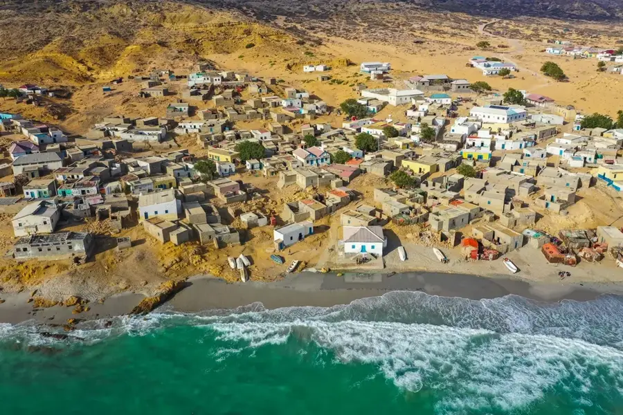
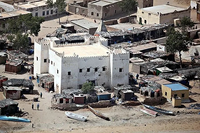
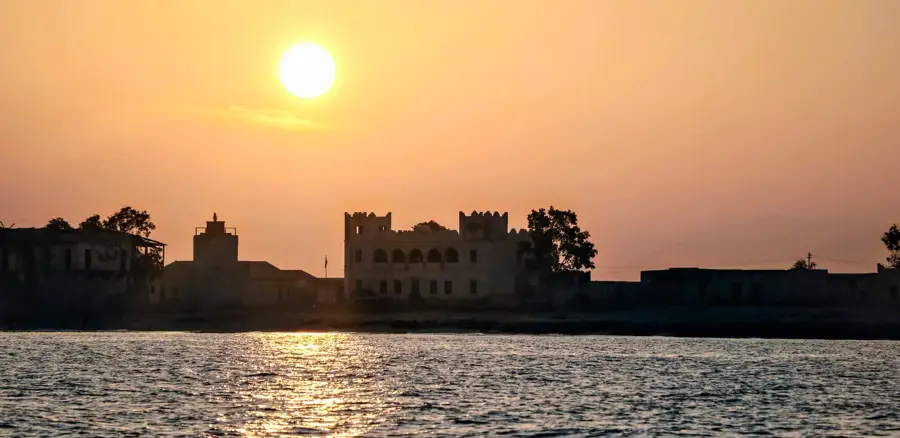
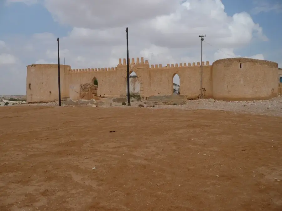
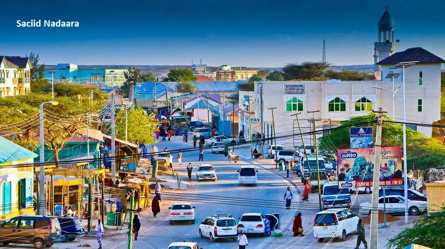
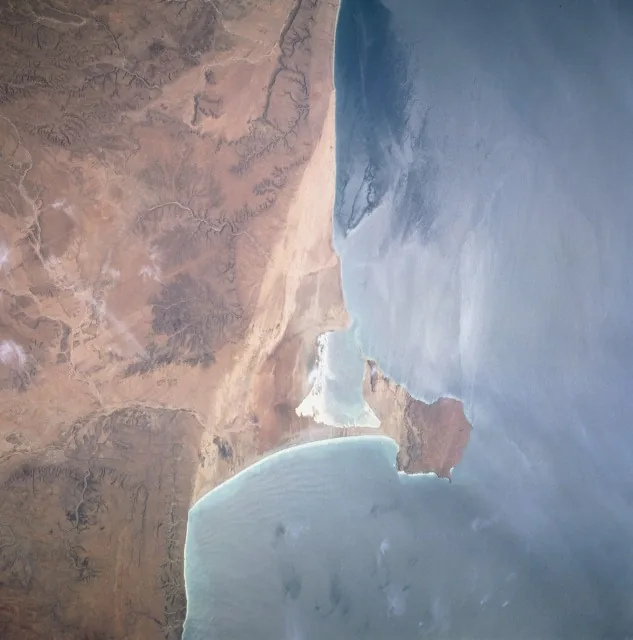
Bandar Beyla, also known as Bandarbeyla, is a coastal town in the Bari region of the autonomous Puntland State in Somalia. It is situated on the eastern shore of the Hafun Peninsula and is known for its strategic position along the Indian Ocean. The town gained international attention due to the devastating impact of the 2004 tsunami, which destroyed much of the local infrastructure and triggered a massive international relief effort. Today, Bandar Beyla is a significant hub for the fishing industry in the region, with lobster trapping and various fish species serving as the primary source of income for the population. The surrounding area is characterized by steep cliffs and white sandy beaches, giving the town a distinctive geographical profile. Despite challenges posed by its remote location, the town has slowly recovered through local initiatives and diaspora support, solidifying its role as a regional maritime trade center.
- Location: Somalia
- Nearby: Iskushuban (86 km)
- Population: ~13.753 (2012)
Best time to visit & climate
The most pleasant time to visit is Feb, Jul, Aug.
| Jan | Feb | Mar | Apr | May | Jun | Jul | Aug | Sep | Oct | Nov | Dec | |
|---|---|---|---|---|---|---|---|---|---|---|---|---|
| Avg °C | 25 | 25 | 26 | 28 | 28 | 26 | 25 | 25 | 25 | 26 | 27 | 26 |
| Rain mm | 4 | 1 | 1 | 10 | 10 | 3 | 1 | 3 | 7 | 15 | 31 | 7 |
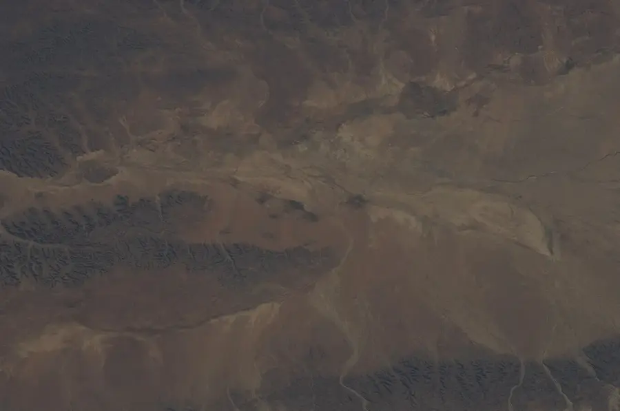
Geography
Facts
- Geographic coordinates: 9°29' North and 50°48' East.
- Situated on the eastern coast of Africa along the Indian Ocean.
- Severely impacted by the Indian Ocean tsunami on December 26, 2004.
- Renowned for the production and export of high-quality lobster.
- Administratively part of the Bandarbeyla District in the Bari region.
- The population consists primarily of fishing communities.
Explore nearby
Notable places around
Route planner — Car & Motorhome
Where do you start? We build the route here, with stops and country notes along the way.
© OpenStreetMap contributors · OpenRouteService
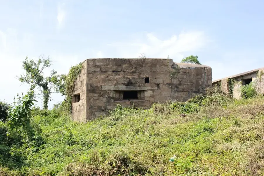
Sights in the town Bandar Beyla (1)
Frequently asked questions
What does Banderbeyla offer?
How is the access to the sea?
When is the best time to travel?
Is Banderbeyla suitable for tourists?
What should one bring?
Bandar Beyla: where is it located?
Bandar Beyla: when is the best time to visit?
Bandar Beyla: why is it worth visiting?

Nearby cities

History & landmarks

Nature
More places