Plizio Visual Lab
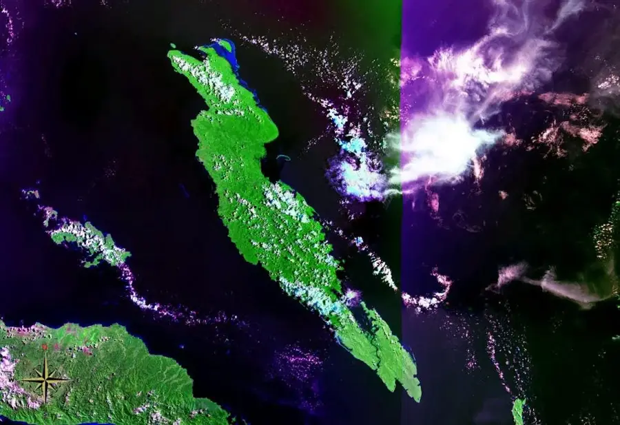
Sinking Island of Walande

Weather…
Water temperature…
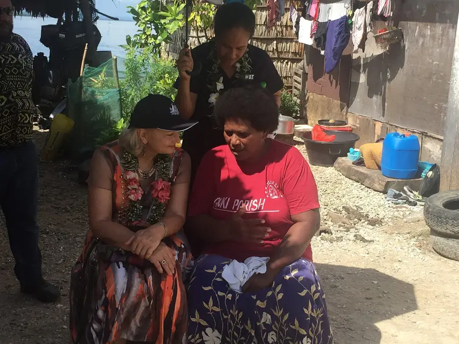
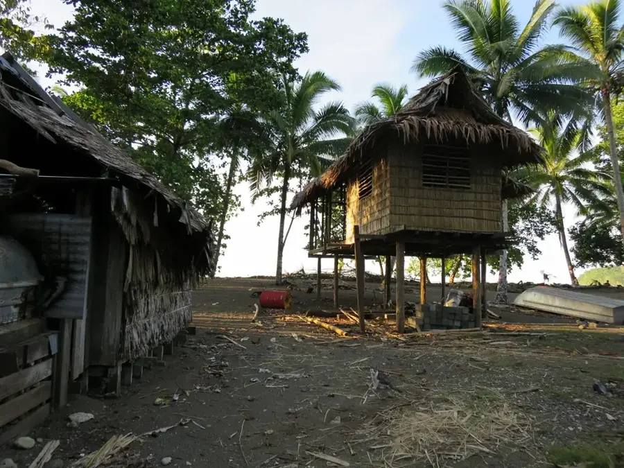
Walande was once a thriving artificial island off the coast of South Malaita, now serving as a stark symbol of sea-level rise and coastal erosion. Originally constructed from coral stones by the 'saltwater people' to escape land-based conflicts, it supported a dense community for generations. In recent decades, increasing tidal surges and the disappearance of protective reefs rendered the island uninhabitable, forcing the entire population to relocate to the Malaita mainland. Today, only skeletal remains of stone walls and stilted foundations are visible above the waterline, marking where a village once stood. Walande is frequently cited in international climate discourse as one of the first Pacific communities to become environmental refugees. The relocation process has posed significant challenges to maintaining the community's traditional maritime identity and social cohesion.
- Location: Solomon Islands
- Nearby: Ramasatu (13 km)
Best time to visit & climate
The most pleasant time to visit is Jun, Aug, Sep.
| Jan | Feb | Mar | Apr | May | Jun | Jul | Aug | Sep | Oct | Nov | Dec | |
|---|---|---|---|---|---|---|---|---|---|---|---|---|
| Avg °C | 29 | 28 | 28 | 28 | 28 | 28 | 28 | 27 | 28 | 28 | 28 | 28 |
| Rain mm | 290 | 297 | 274 | 226 | 226 | 219 | 244 | 207 | 197 | 244 | 220 | 246 |
📋 Practical info
Geography
Facts
- An artificial island made of piled coral stone
- Abandoned due to rising sea levels and erosion
- A key case study for climate change in Melanesia
- The community relocated to the mainland of Malaita
- Remnants are a poignant reminder of lost habitats
- Historically a hub for traditional dolphin hunting
Explore nearby
Notable places around
Route planner — Car & Motorhome
Where do you start? We build the route here, with stops and country notes along the way.
© OpenStreetMap contributors · OpenRouteService
Sights nearby
Frequently asked questions
What is special about this island?
Can I visit the ruins?
How is the best way to travel there?
Is the place suitable for children?
Are there ecological restrictions?
Sinking Island of Walande: where is it located?
Sinking Island of Walande: when is the best time to visit?
Sinking Island of Walande: why is it worth visiting?

Nearby cities


History & landmarks


Nature
More places