Plizio Visual Lab
Central Range Malaita
Weather…
Water temperature…
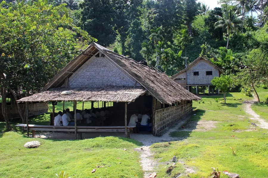
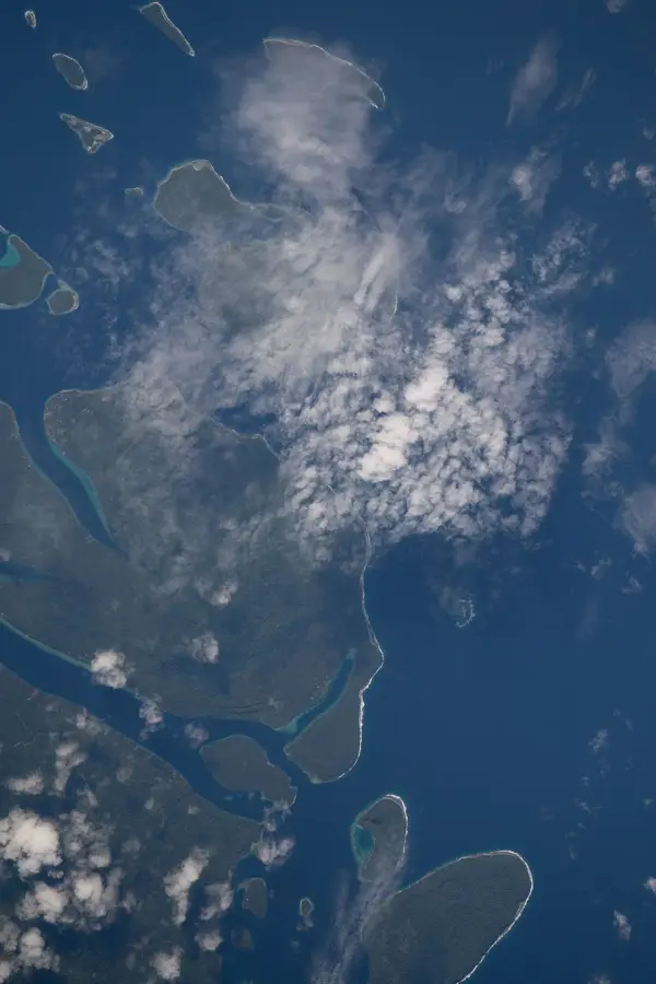
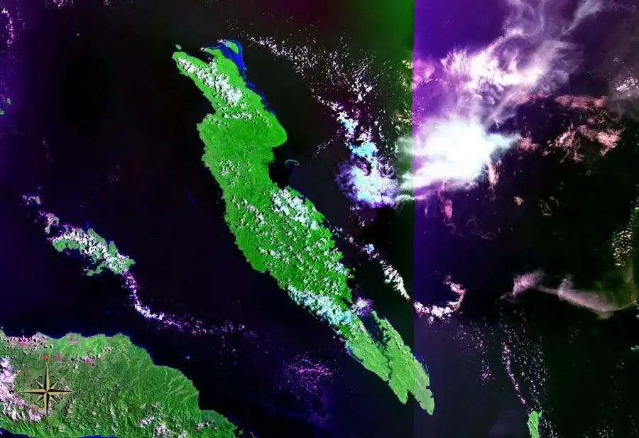
The Central Range on Malaita Island forms the mountainous backbone of this most populous island in the Solomon Islands. The range extends across the entire length of the island from north to south, reaching elevations of over 1,300 meters at Mount Emu. Geologically, the range was formed by the interaction of the Pacific Plate with the Solomon island arc, resulting in a mixture of volcanic rocks and marine sediments. The slopes are covered in dense tropical rainforests, known for their rich avifauna and endemic orchid species. For the local population of Malaita, the Central Range is of vital importance as it is the source of nearly all the island's rivers, providing the basis for agriculture. In the island's history, the mountains served as a natural barrier that contributed to the emergence of various language groups and cultural traditions in isolated valleys. Despite the high population density on the coast, the central highlands remain largely forested and ecologically intact due to the difficult terrain.
- Location: Solomon Islands
- Nearby: Fauabu (6 km)
Best time to visit & climate
The most pleasant time to visit is Apr, May, Sep.
| Jan | Feb | Mar | Apr | May | Jun | Jul | Aug | Sep | Oct | Nov | Dec | |
|---|---|---|---|---|---|---|---|---|---|---|---|---|
| Avg °C | 28 | 28 | 28 | 28 | 28 | 28 | 27 | 27 | 27 | 28 | 28 | 28 |
| Rain mm | 289 | 299 | 281 | 219 | 215 | 239 | 265 | 232 | 212 | 248 | 224 | 238 |
📋 Practical info
Geography
Facts
- The Central Range reaches an elevation of 1,303 m at Mount Emu.
- The mountains divide the island into eastern and western sides.
- The rock formations date predominantly from the Cretaceous period.
- Rare birds such as the Malaita fantail live in the high elevations.
- The mountain ridge is the source for the Auki River.
- There are numerous karst cave systems in the limestone areas.
Explore nearby
Notable places around
Route planner — Car & Motorhome
Where do you start? We build the route here, with stops and country notes along the way.
© OpenStreetMap contributors · OpenRouteService
Sights nearby
Frequently asked questions
What is the Central Range Malaita?
Is the region suitable for hiking?
What can you see there?
Is it very hot there?
How is the infrastructure?
Central Range Malaita: where is it located?
Central Range Malaita: when is the best time to visit?
Central Range Malaita: why is it worth visiting?

Nearby cities


History & landmarks


Nature

More places